Parking
Use one of Grasmere's public pay-and-display car parks, including the facilities on Stock Lane or College Street, then walk to St Oswald's Church on Church Stile. The church is the route start, not a trail car park.
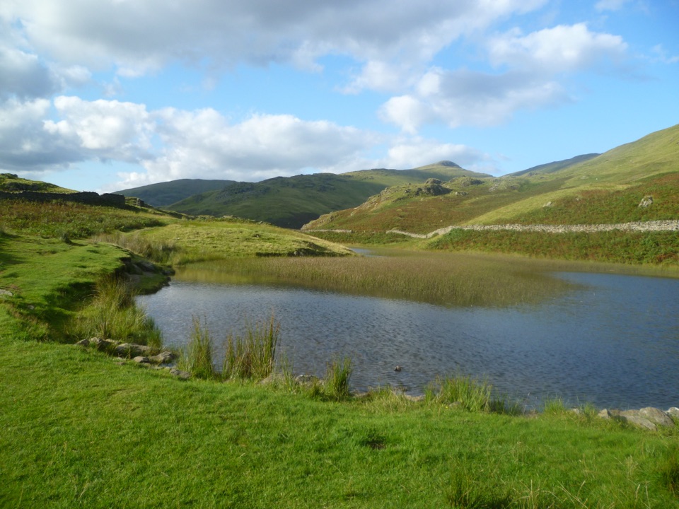
Lake District National Park, EN
A steep zigzag climb from Grasmere village to a hidden fell tarn
Overview
A circular walk of 3.7 miles (5.92 km), usually taking 2 to 3 hours at a steady pace, with around 306 m of ascent. It starts and finishes at St Oswald's Church on Church Stile in Grasmere, and it is graded moderate. Dogs are welcome, and no permit is needed.
Map & elevation
Plan your hike

The highest, rockiest slopes around here are a summer buffet for grizzly bears.
Lake District Tour Guide
Parkwolf is a GPS audio tour guide for Lake District National Park. As you drive, it chimes in with what’s ahead: hidden gems, upcoming stops, history, geology, and wildlife, right through your car’s speakers.
Recorded for this trailhead
Grasmere: Riverside, Gingerbread and Lake“You're nearing Grasmere village, where you can combine a walk beside the River Rothay with a stop for the local gingerbread.”
Plays as you drive up to this trailhead in the Parkwolf Lake District Tour Guide.
More stories near here in the app
“Fantastic app with many points of information… It’s great to just turn on while you’re driving and it gives you an audio tour of the national Park. We love it!!!!”


Trail guide
From the church you walk out through the village, cross the A591 with care, then follow a minor road and path toward Greenhead Gill. The climbing begins in earnest here: steep in places, with rocky and uneven fellside and a set of zigzags to gain height. A bench part way up makes a good excuse to stop and look back over Grasmere and its lake.
The last stretch to the top is rugged, and the ground around the tarn can be wet or boggy after rain. Alcock Tarn itself is a small mountain tarn set in open fell, with wide views out across the valley. The return keeps to the far side of the water, then drops on rough ground past a gate and gap, another bench, a small manmade pond and into woodland. A little stone bridge leads back down past Dove Cottage and the Wordsworth house and museum area before the village.
There is no car park at the church, which is simply the start point. Use the pay-and-display public car parks around Grasmere, including those at Stock Lane and College Street, then walk into the village centre. Public toilets are available in the village and at Allan Bank.
This is a proper fell walk rather than a village stroll. Expect steep gradients, loose rock, uneven footing and damp ground near the tarn, and wear boots with grip. It is not suitable for pushchairs, wheelchairs or anyone with limited mobility. Take a windproof layer, as the top is open and exposed even on calm days in the valley.
Wildlife
 81 sightingsRed DeerMost seen around 7 PMSighting map
 13 sightingsEurasian OtterMost seen around 6 AMSighting map
 76 sightingsOspreyMost seen around 8 AMSighting map
 51 sightingsEuropean BadgerMost seen around 8 PMSighting map
 233 sightingsMute SwanMost seen around 6 PMSighting map
 176 sightingsGrey HeronMost seen around 7 AMSighting map
Sighting maps show where each species has been reported across Lake District. Wildlife moves, so no sighting is guaranteed.
Keep exploring
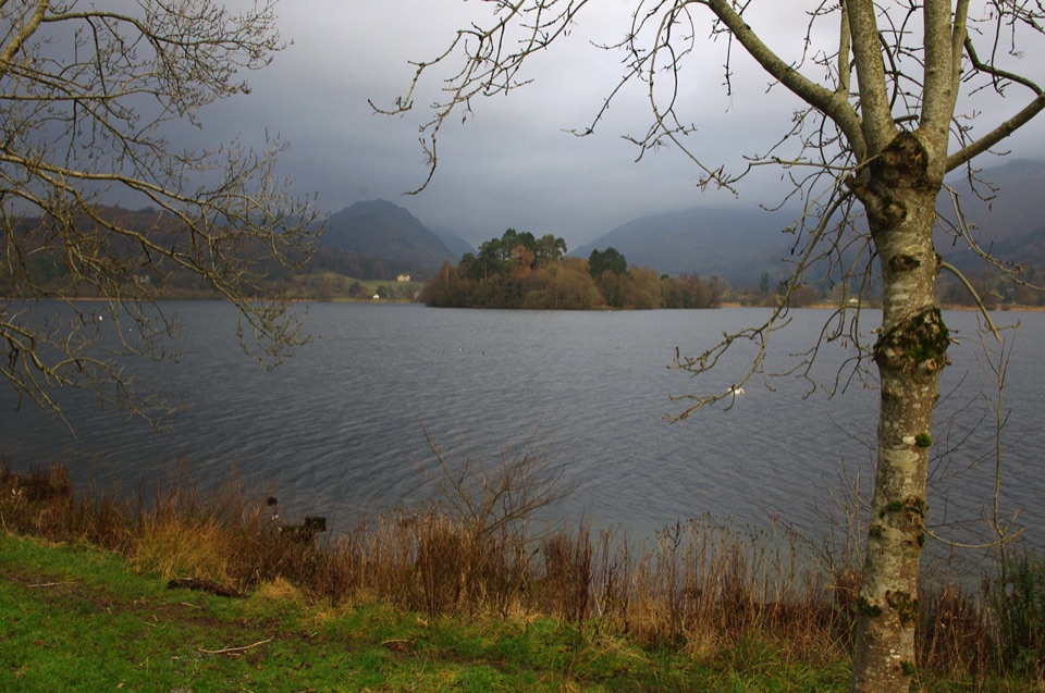 EasyGrasmere Lake Circular6 km · 1.8 hr · At the trailheadCoffin Route, riverside meadows and a full lakeshore in under two hours
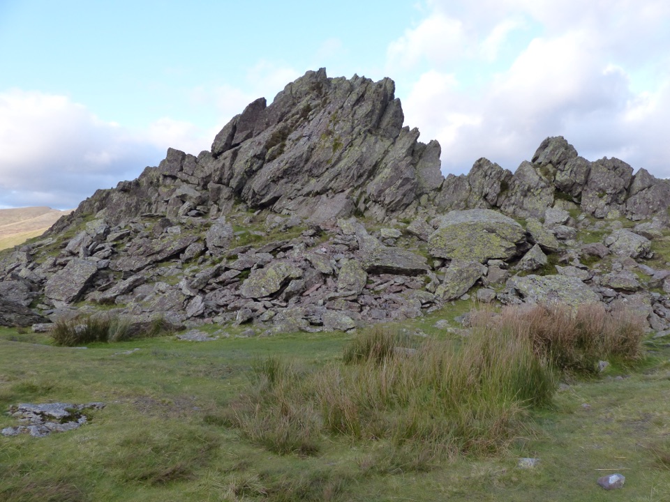 ModerateHelm Crag6.4 km · 3 hr · At the trailheadSteep stepped climb to the Lion and the Lamb above Grasmere
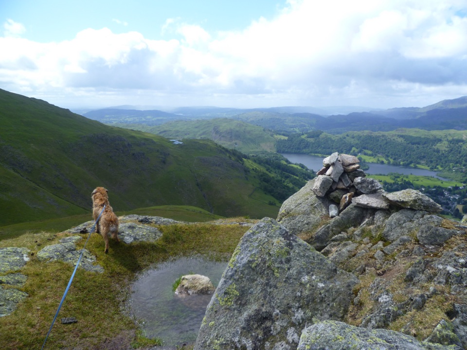 ChallengingStone Arthur, Great Rigg, Heron Pike and Nab Scar12.6 km · 5.5 hr · At the trailheadFour summits, Alcock Tarn, and a rough ridge above Grasmere
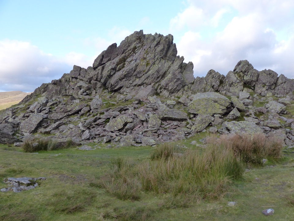 ChallengingSteel Fell, Calf Crag, Gibson Knott and Helm Crag14 km · 5.3 hr · 0.1 km awayFour boggy summits above Greenburn, ending on Helm Crag's Howitzer
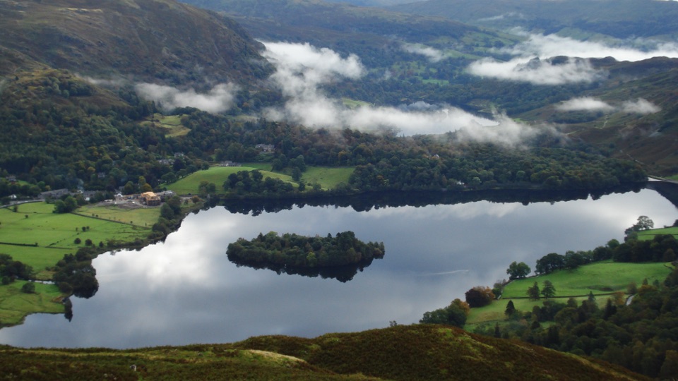 ModerateSilver How4.5 km · 2.3 hr · 0.2 km awayA short, steep climb to wide Grasmere and Langdale views
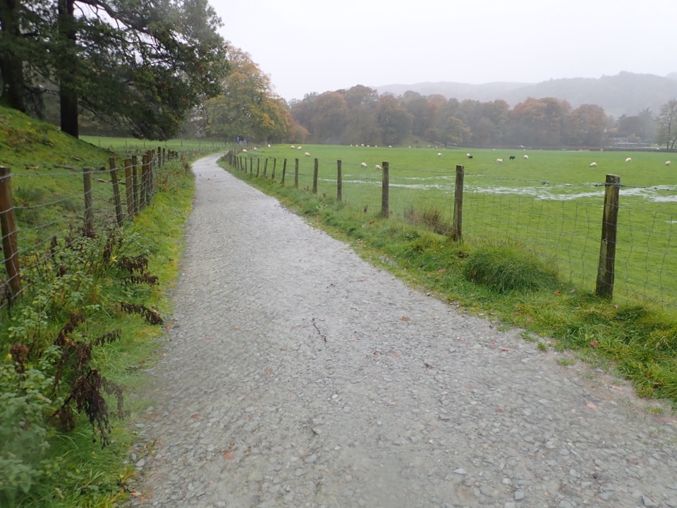 EasyGrasmere Trail8.7 km · 3 hr · 0.2 km awayLakeshore paths and woodland from Grasmere over to Ambleside, one way
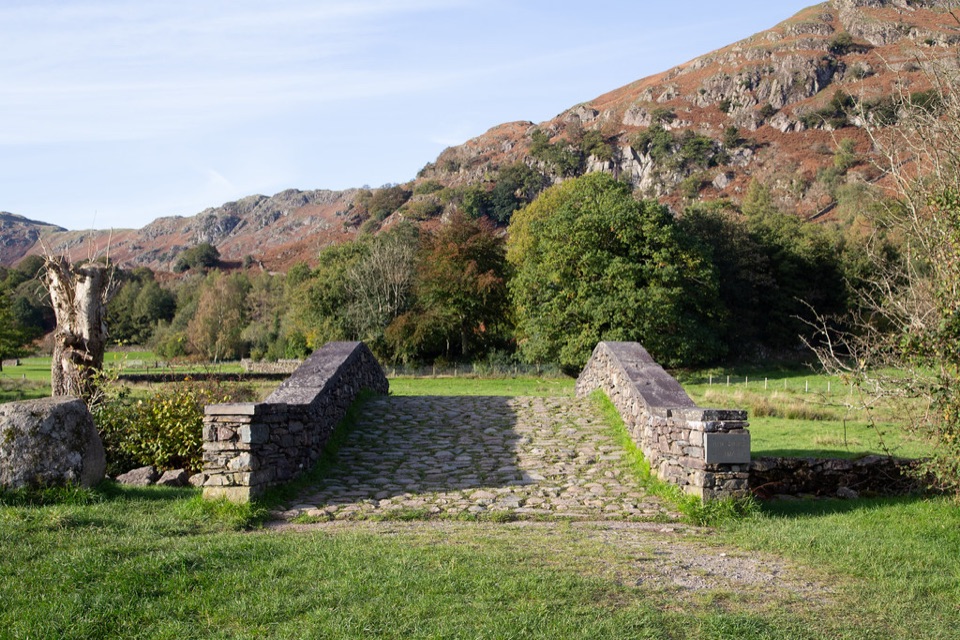 ModerateFeel the Force Audio Trail4.8 km · 2 hr · 0.3 km awayVillage streets to medieval mill ruins beside Easedale Beck
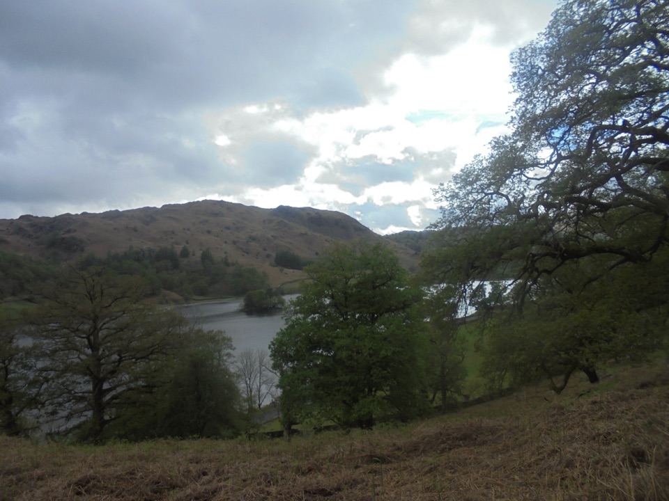 ModerateGrasmere and Rydal Water Circular9.7 km · 3 hr · 0.3 km awayTwo lakeshores and an old coffin path linked in one easy loop
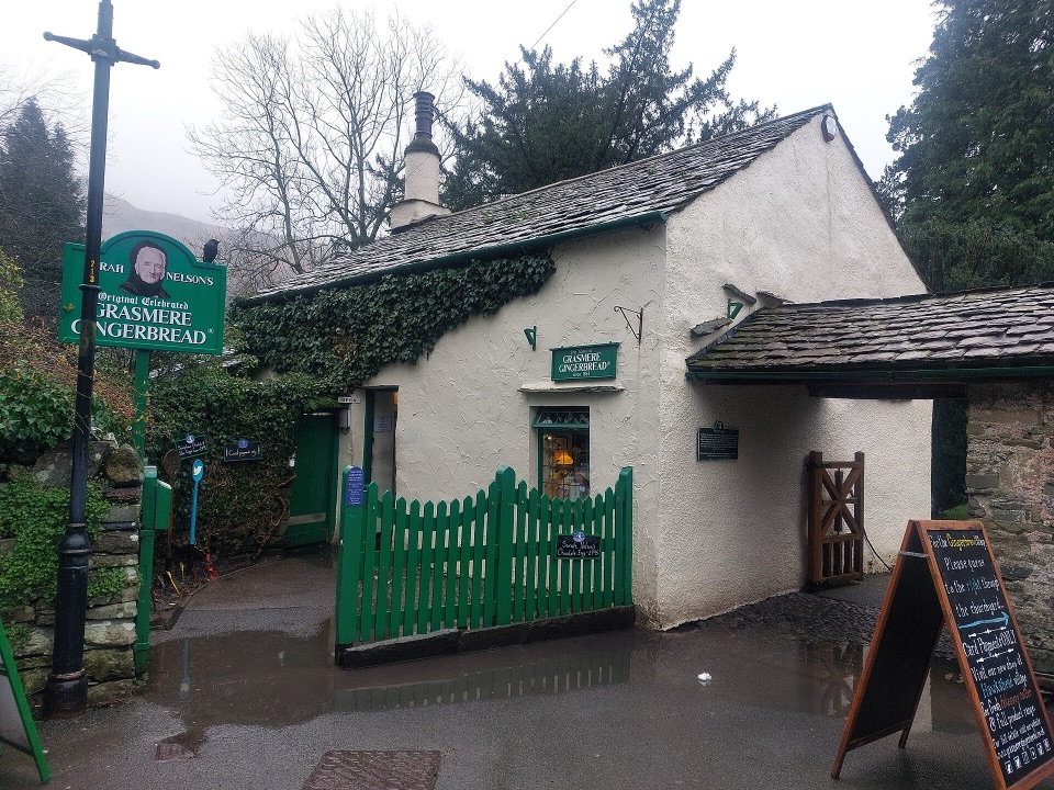 Store · At the trailheadGrasmere Gingerbread ShopA 1630 cottage where fresh gingerbread still draws a daily queue
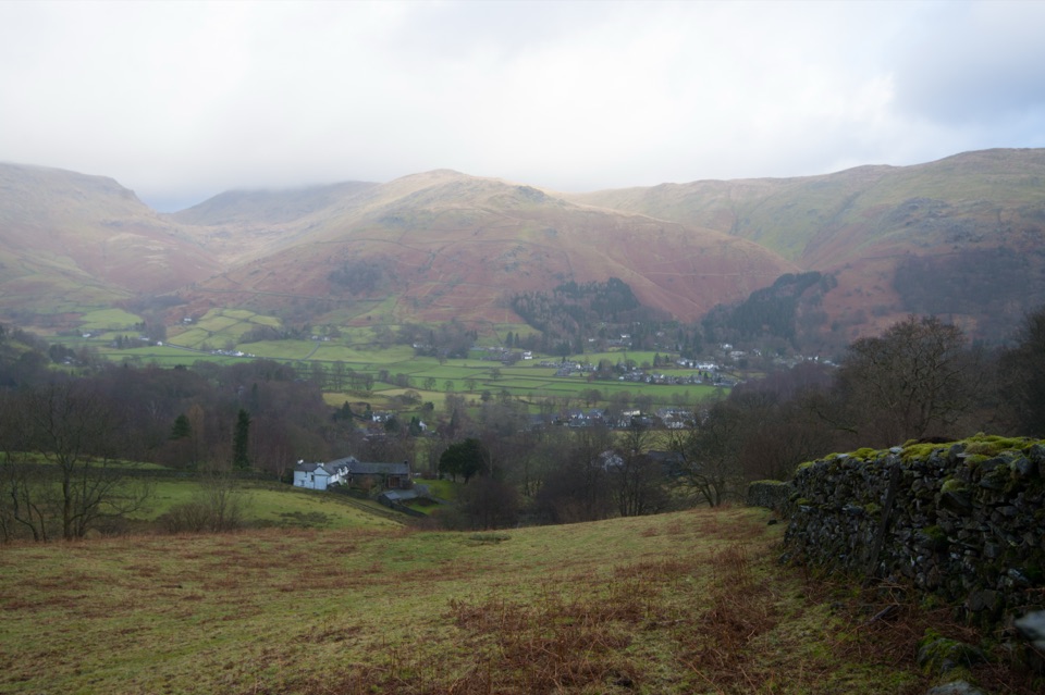 Sight · 0.2 km awayGrasmere VillageA slate-roofed fell village with Wordsworth, gingerbread, and walks
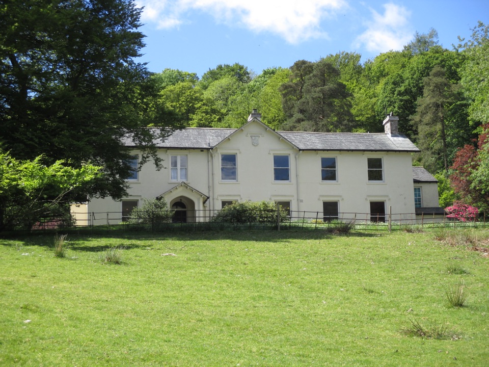 Sight · 0.5 km awayAllan BankWordsworth's villa pairs red squirrels with Grasmere views and woodland
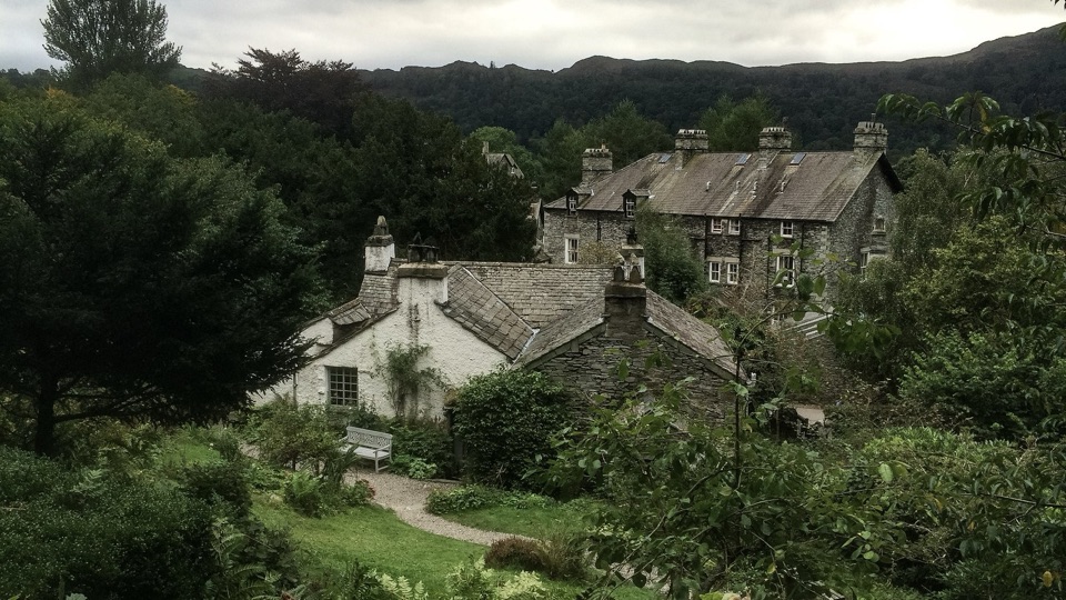 Sight · 0.6 km awayWordsworth GrasmereA poet's cottage, living garden, manuscripts, and wide valley views
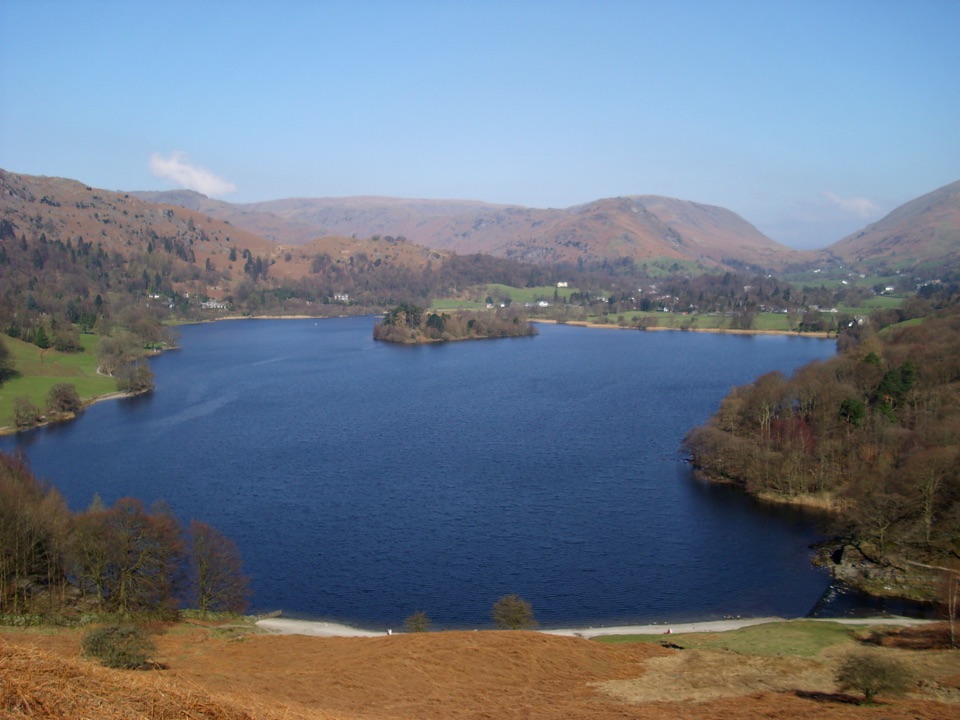 Sight · 0.9 km awayGrasmereA peaceful lake loop beneath the central Lake District fells
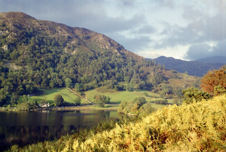 Sight · 2.2 km awayRydal WaterSmall lake, big reflections beneath Loughrigg Fell
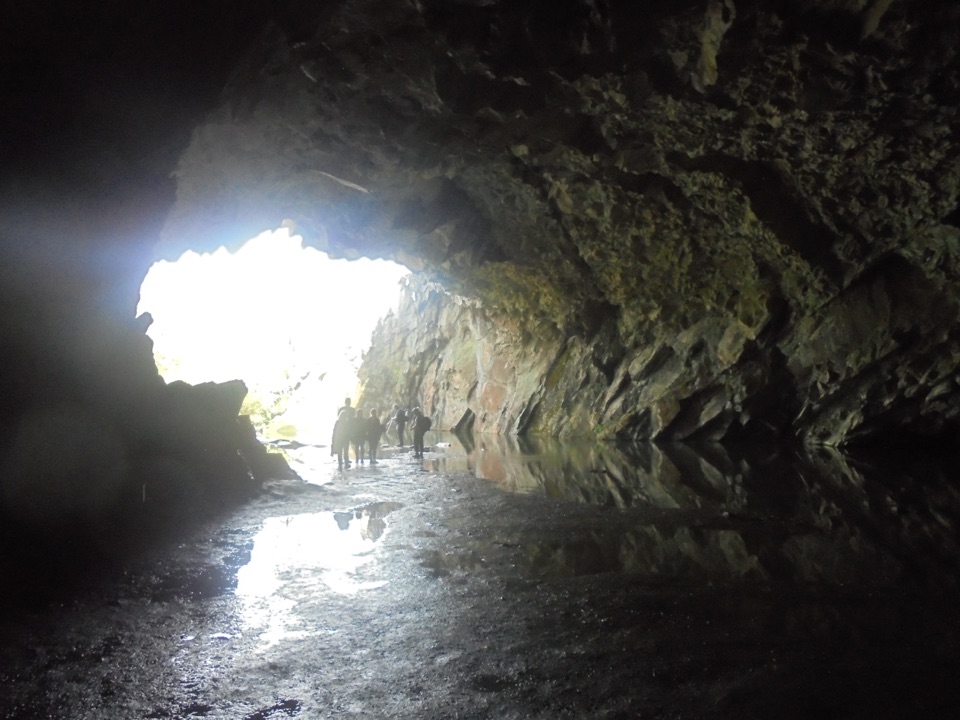 Sight · 2.4 km awayRydal CaveA former slate quarry opens onto water, stone, and fell views
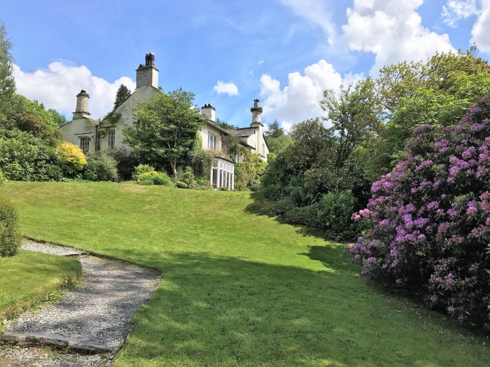 Sight · 2.9 km awayRydal MountWordsworth's final home, wrapped in five acres of garden and paths
Parkwolf’s Lake District ranking

The audio tour guide for the drive, plus offline maps, trails, and wildlife heatmaps for when the signal drops.





