Parking
Use the pay-and-display car park on Red Bank Road beside Grasmere Garden Village, or signed public parking in Grasmere village. The route starts from the village access near Easedale Road and returns by the road opposite Faeryland Tearoom.
Lake District National Park, EN
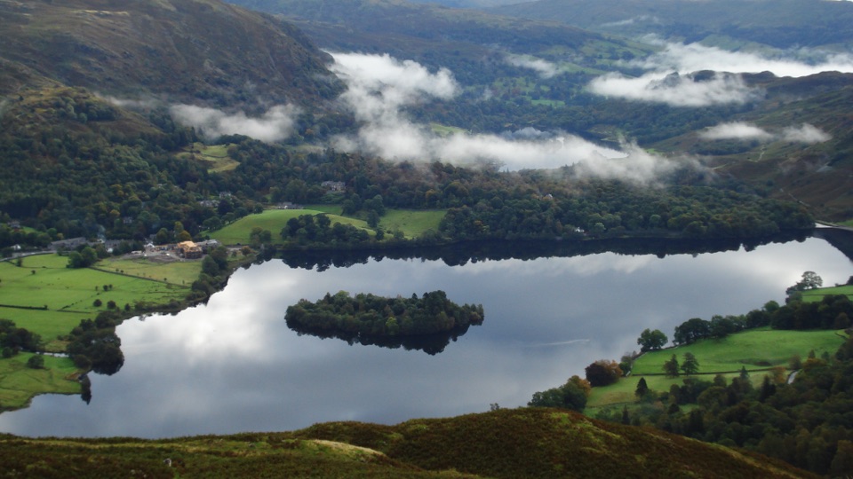
A short, steep climb to wide Grasmere and Langdale views
Overview
Map & elevation
Plan your hike

The highest, rockiest slopes around here are a summer buffet for grizzly bears.
Lake District Tour Guide
Parkwolf is a GPS audio tour guide for Lake District National Park. As you drive, it chimes in with what’s ahead: hidden gems, upcoming stops, history, geology, and wildlife, right through your car’s speakers.
Recorded for this trailhead
Grasmere: Riverside, Gingerbread and Lake“You're nearing Grasmere village, where you can combine a walk beside the River Rothay with a stop for the local gingerbread.”
Plays as you drive up to this trailhead in the Parkwolf Lake District Tour Guide.
More stories near here in the app
“Fantastic app with many points of information… It’s great to just turn on while you’re driving and it gives you an audio tour of the national Park. We love it!!!!”


Trail guide
Silver How is a 2.8-mile circular walk from Grasmere village to the open summit and back by a different line. The approach passes Allan Bank, follows fields and a rocky ravine, then climbs through juniper to Wray Gill. After the ford, a broad path crosses the plateau to the summit cairn. The return drops through the old Scree Gully line, follows a wall and fields, and comes back to the village road near Faeryland Tearoom.
This is short on paper but not a stroll. The climb is steep and rocky, with uneven grass and a few gates. The way down is easier in places because of engineered steps, though the wall-side section can be wet and rough. The summit is grassy and spacious, with enough room to stop for a picnic when the weather cooperates.
The payoff is a broad look across the vale of Grasmere and into Langdale. On a clear day, the skyline includes the Langdale Pikes, Bowfell, The Band, Pike of Blisco, Helm Crag, Steel Fell, Heron Pike and Fairfield. Juniper stands out on the climb, while dry-stone walls and large erratic boulders give the lower and middle sections a distinctly worked-and-glacial character.
Wildlife
 81 sightingsRed DeerMost seen around 7 PMSighting map
 13 sightingsEurasian OtterMost seen around 6 AMSighting map
 76 sightingsOspreyMost seen around 8 AMSighting map
 51 sightingsEuropean BadgerMost seen around 8 PMSighting map
 233 sightingsMute SwanMost seen around 6 PMSighting map
 176 sightingsGrey HeronMost seen around 7 AMSighting map
Sighting maps show where each species has been reported across Lake District. Wildlife moves, so no sighting is guaranteed.
Keep exploring
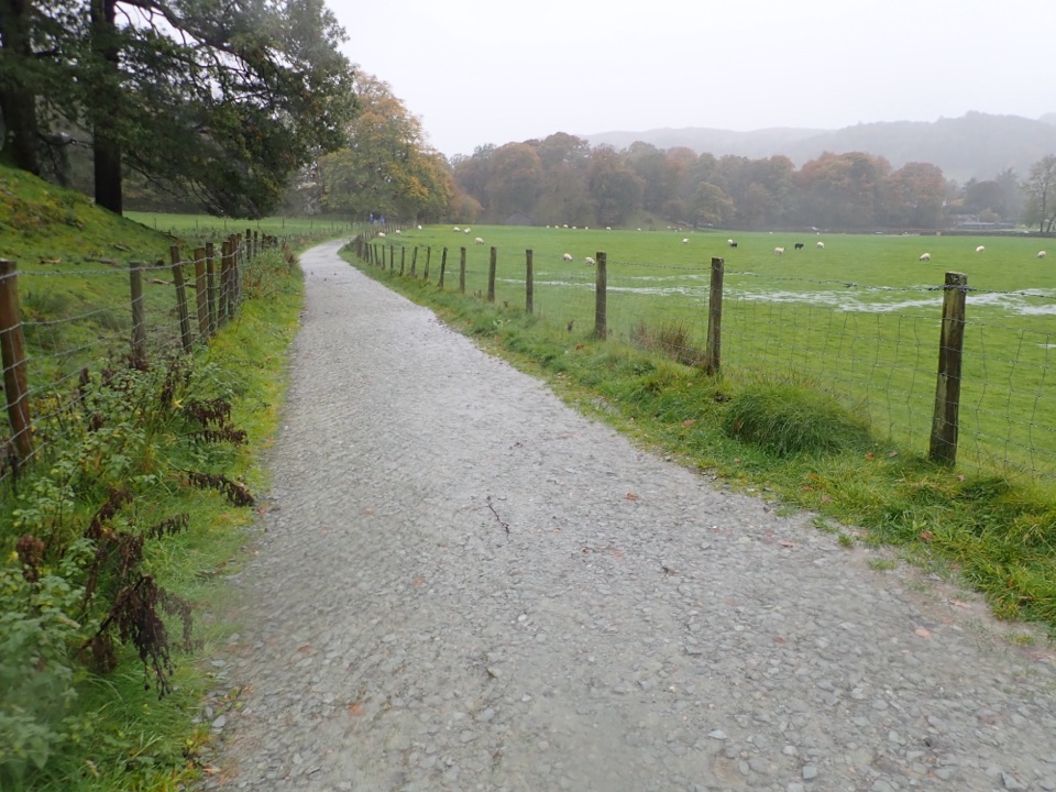 EasyGrasmere Trail8.7 km · 3 hr · 0.1 km awayLakeshore paths and woodland from Grasmere over to Ambleside, one way
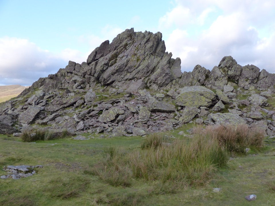 ChallengingSteel Fell, Calf Crag, Gibson Knott and Helm Crag14 km · 5.3 hr · 0.1 km awayFour boggy summits above Greenburn, ending on Helm Crag's Howitzer
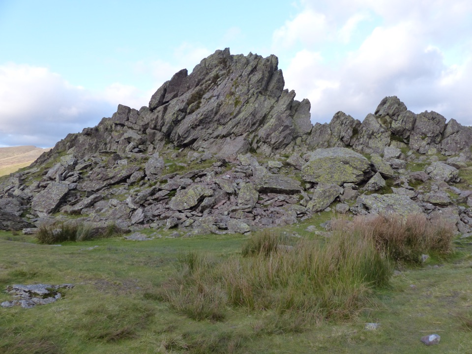 ModerateHelm Crag6.4 km · 3 hr · 0.2 km awaySteep stepped climb to the Lion and the Lamb above Grasmere
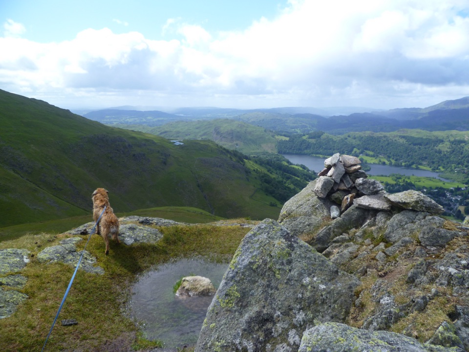 ChallengingStone Arthur, Great Rigg, Heron Pike and Nab Scar12.6 km · 5.5 hr · 0.2 km awayFour summits, Alcock Tarn, and a rough ridge above Grasmere
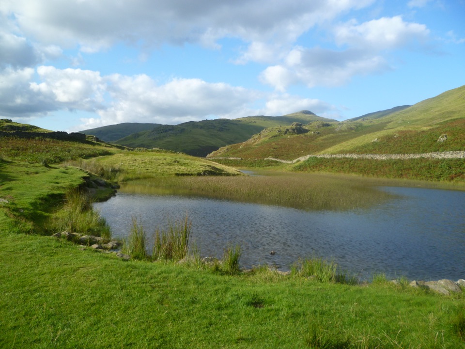 ModerateAlcock Tarn Walk6 km · 2.5 hr · 0.2 km awayA steep zigzag climb from Grasmere village to a hidden fell tarn
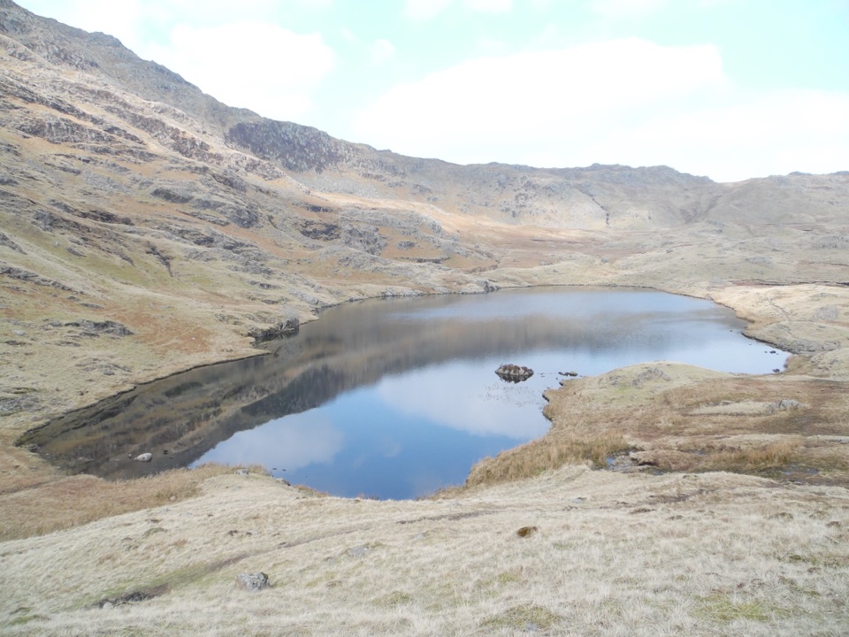 ChallengingEasedale Tarn, Codale Tarn and Tarn Crag13 km · 5.5 hr · 0.2 km awayTwo tarns, a rough scramble and a quiet ridge above Grasmere
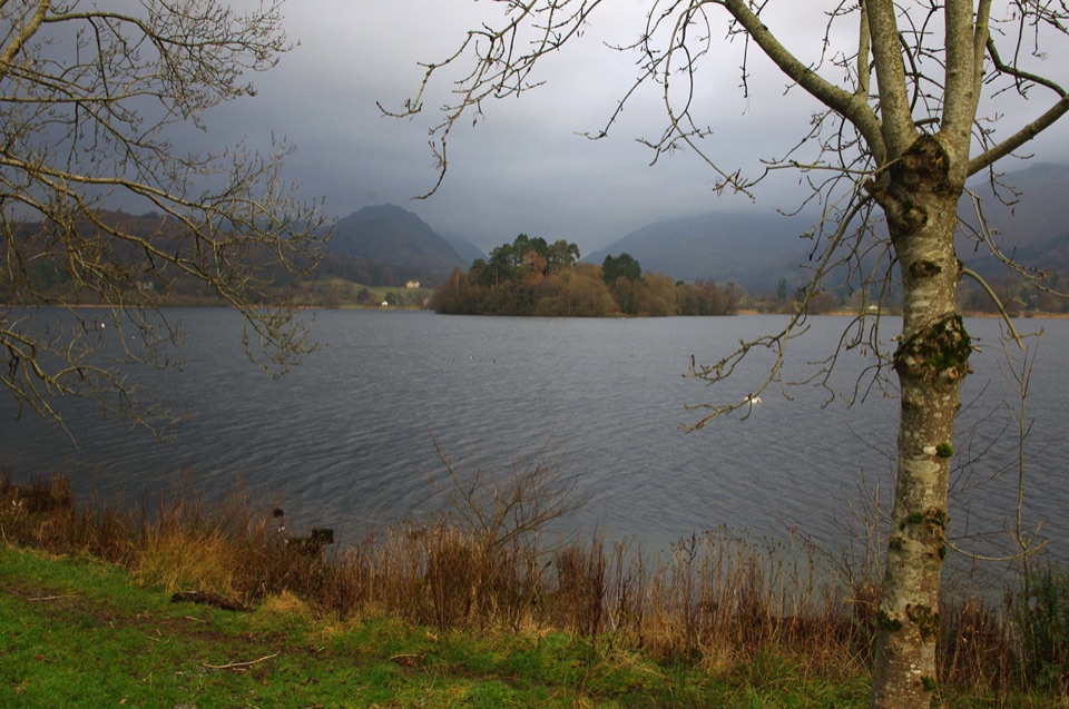 EasyGrasmere Lake Circular6 km · 1.8 hr · 0.2 km awayCoffin Route, riverside meadows and a full lakeshore in under two hours
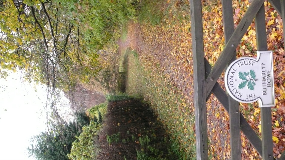 EasyGrasmere Jubilee Walk1.8 km · 1 hr · 0.3 km awayRiverside path, woodland climb and fell views in one village loop
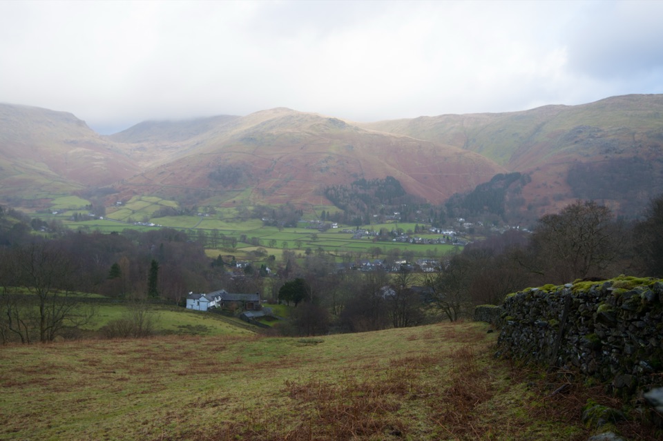 Sight · At the trailheadGrasmere VillageA slate-roofed fell village with Wordsworth, gingerbread, and walks
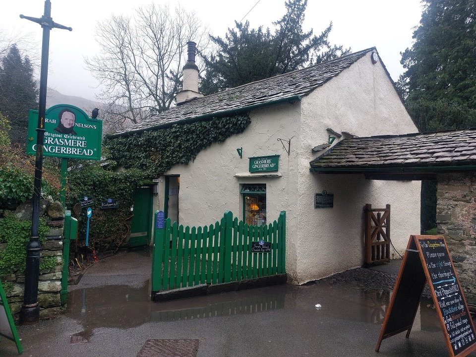 Store · 0.2 km awayGrasmere Gingerbread ShopA 1630 cottage where fresh gingerbread still draws a daily queue
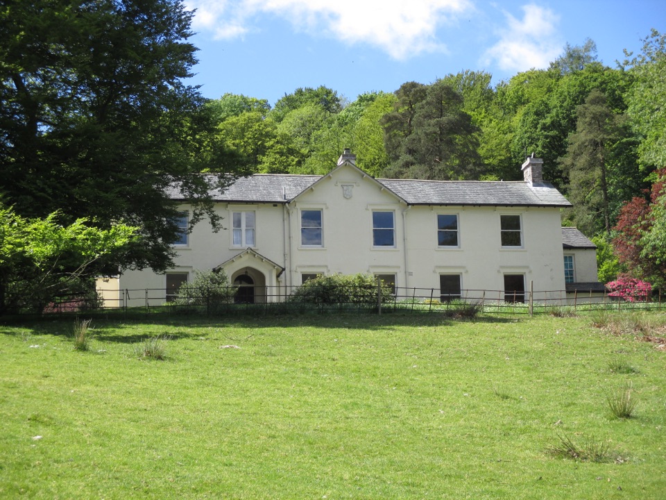 Sight · 0.3 km awayAllan BankWordsworth's villa pairs red squirrels with Grasmere views and woodland
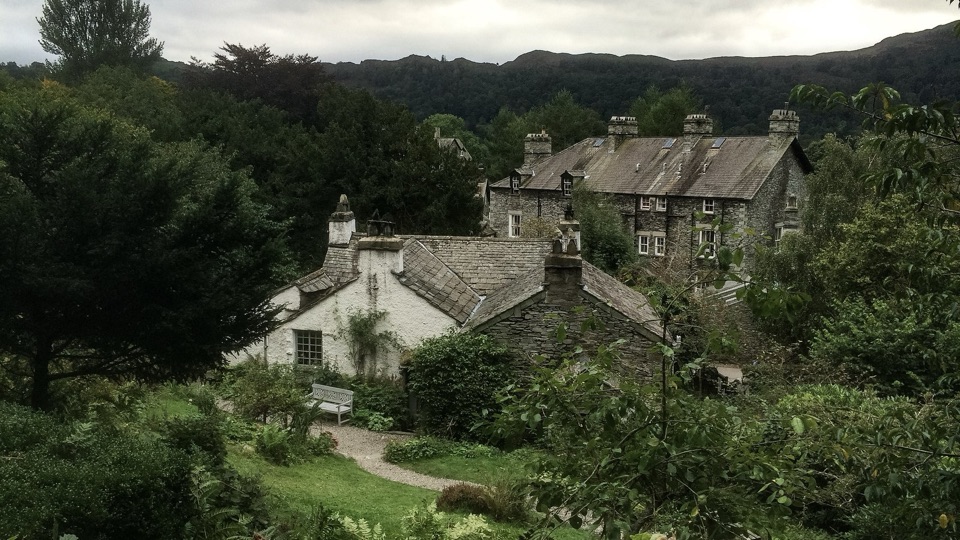 Sight · 0.8 km awayWordsworth GrasmereA poet's cottage, living garden, manuscripts, and wide valley views
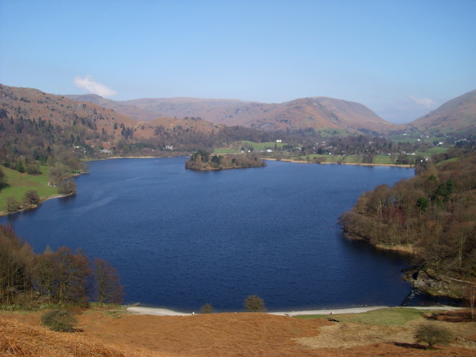 Sight · 1.1 km awayGrasmereA peaceful lake loop beneath the central Lake District fells
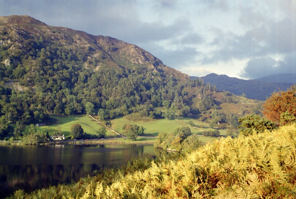 Sight · 2.4 km awayRydal WaterSmall lake, big reflections beneath Loughrigg Fell
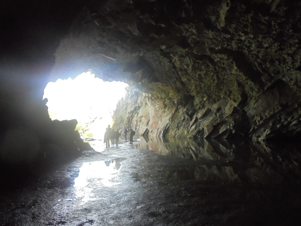 Sight · 2.6 km awayRydal CaveA former slate quarry opens onto water, stone, and fell views
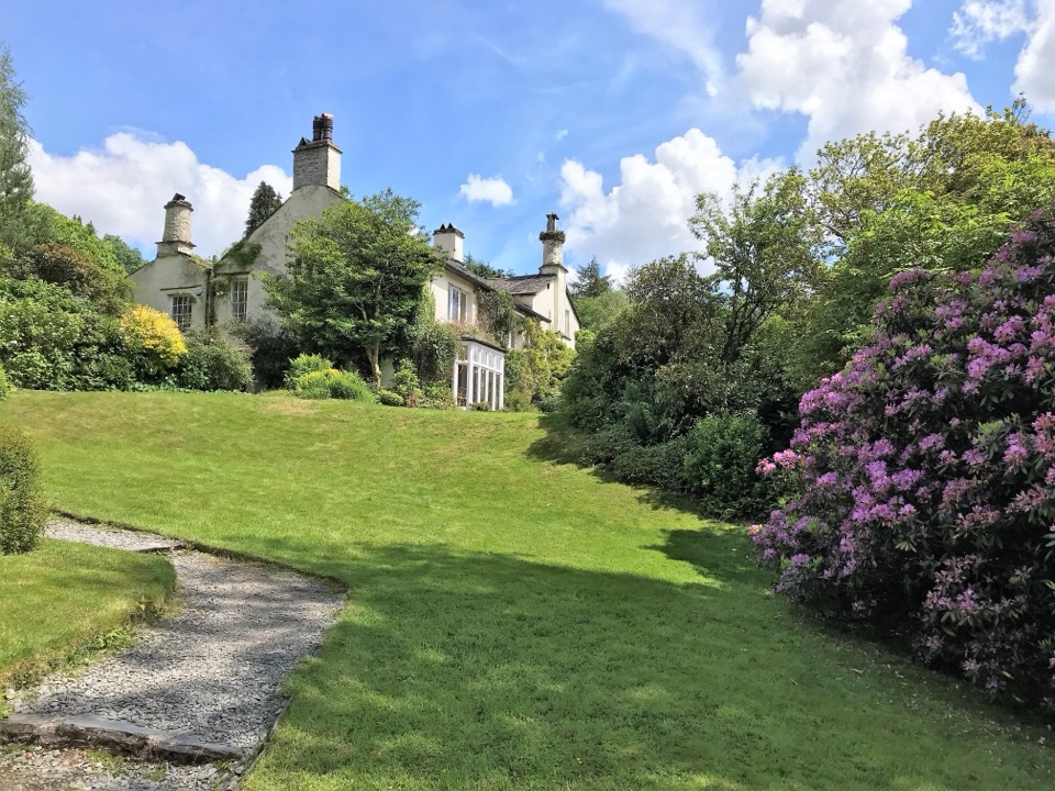 Sight · 3 km awayRydal MountWordsworth's final home, wrapped in five acres of garden and paths
Parkwolf’s Lake District ranking

The audio tour guide for the drive, plus offline maps, trails, and wildlife heatmaps for when the signal drops.





