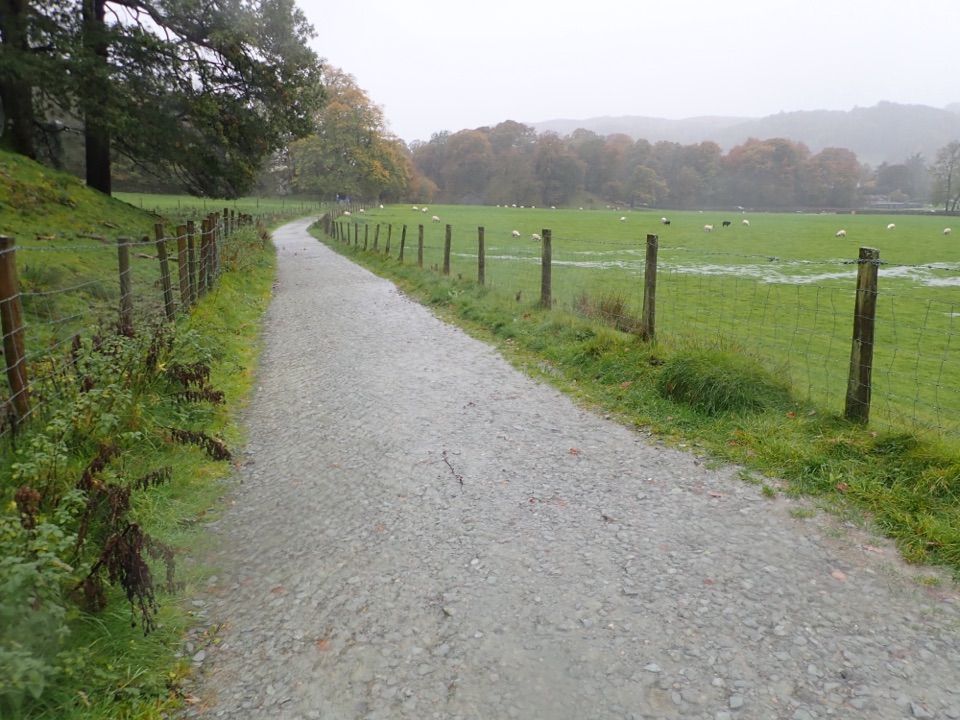
Grasmere Trail in Lake District National Park

Lake District National Park, EN

Grasmere Trail

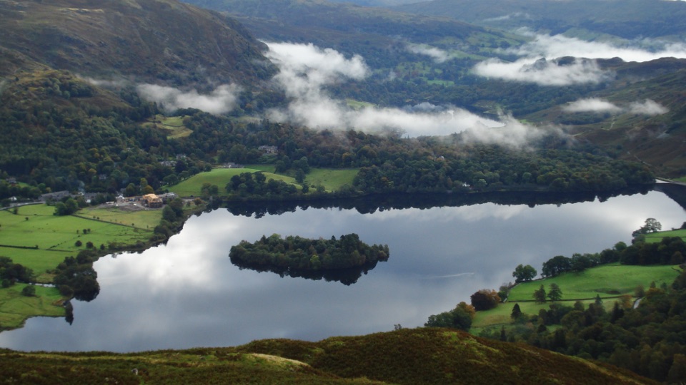
Lakeshore paths and woodland from Grasmere over to Ambleside, one way

Photo: Wikimedia Commons
Length
8.7km
Time
3hr
Elev. change
53m
Difficulty
Easy
  • Dogs allowed
  • High point 101 m
  • #90 of 265 in Lake District

Hear the audio tour

Grasmere: Riverside, Gingerbread and Lake

Overview

About Grasmere Trail

Why go

  • Two lakes and woodland in one crossing
  • Bus-friendly one-way route

Heads up

  • No loop; return transport needed
  • Opening road climb and mixed footing
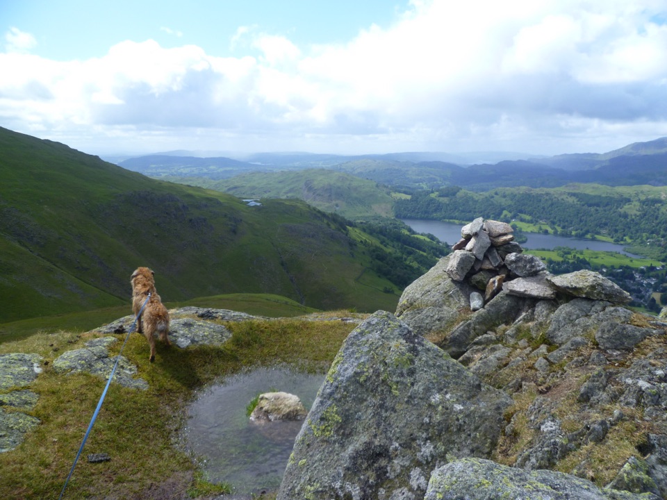
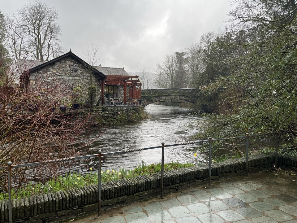
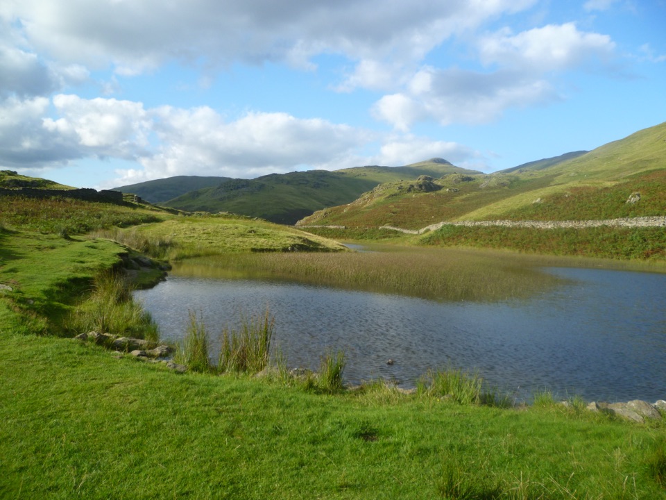
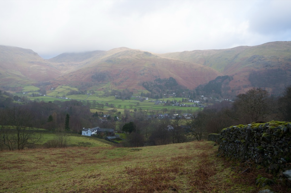
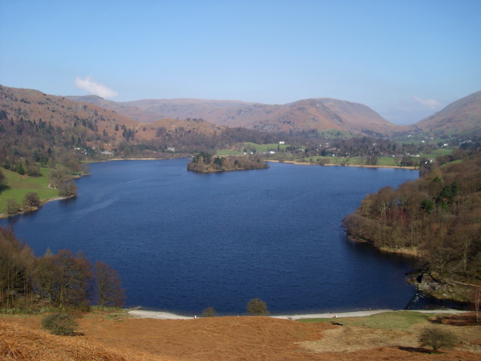
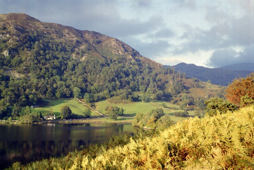
The payoff is the crossing itself: two lakes, river outlets, woodland, fields and a stretch of open fell strung together in one low-level line, finishing in a different village from the one you started in. The Rydal Water shore near the end is the natural place to sit for a while.
Parkwolf’s verdictWhy walk it

Map & elevation

The route

Loading the Lake District map
Full map
Elevation48–101 m
TrailheadGrasmere village by St Oswald's Church54.45968, -3.02437
Keep this map with you offline in the Parkwolf app

Plan your hike

Before you go

Parking

Start in Grasmere village by St Oswald's Church. Stock Lane and Broadgate Meadow car parks are the practical options in the village; both are pay-and-display, and Stock Lane has toilets. Leave time to walk from either car park into the route start.


Safety

The first 1.3 km follows Red Bank Road uphill and includes a steep descent before the lakeside path. The bridleway is shared with cyclists and horses, and fields contain livestock. Keep dogs under close control and on a short lead near animals. Plan the return from Ambleside before setting out.

8 active Lake District alerts

  • ClosureChapel Stile footpath closed for retaining-wall riskPart of Footpath 543030 between Chapel Stile and Baysbrown campsite is closed because a retaining wall beside the path could collapse and material it supports could fall across the footpath.Official details
  • ClosureStanley Ghyll Lower Falls footpath closed for rockfallThe section of Footpath 408037 leading towards Stanley Ghyll Lower Falls is closed because severe rockfall damage has made the path unstable and further rockfall remains a danger.Official details
See all 8 alerts
A park ranger sits on a dash-mounted phone, talking, as Parkwolf’s Tour Guide plays “Army Cutworm Moths: A Grizzly Bear Buffet” on Grand Loop Road below Dunraven Pass in Yellowstone
Parkwolf Tour GuideThe highest, rockiest slopes around here are a summer buffet for grizzly bears.

Lake District Tour Guide

Your drive to Grasmere Trail, narrated.

Parkwolf is a GPS audio tour guide for Lake District National Park. As you drive, it chimes in with what’s ahead: hidden gems, upcoming stops, history, geology, and wildlife, right through your car’s speakers.

Recorded for this trailhead

Grasmere: Riverside, Gingerbread and Lake
0:00 / 1:20
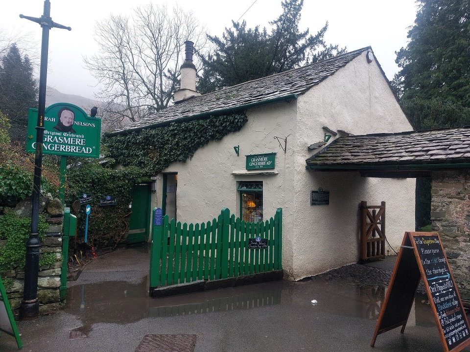
“You're nearing Grasmere village, where you can combine a walk beside the River Rothay with a stop for the local gingerbread.”

Plays as you drive up to this trailhead in the Parkwolf Lake District Tour Guide.

More stories near here in the app

  • Easedale Tarn: Waterfalls from Grasmere
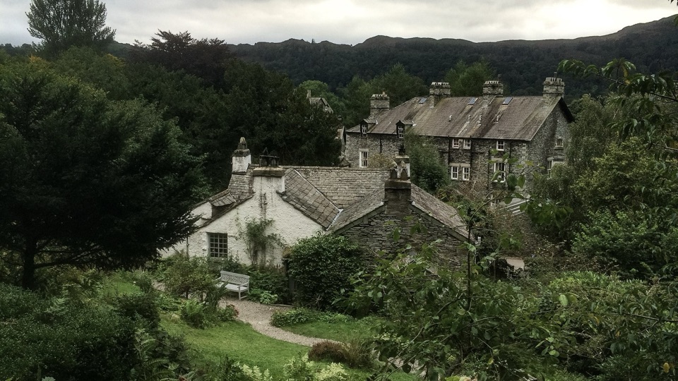
  • Wordsworth Grasmere: Inside Dove Cottage
  • Mill Bridge: Seat Sandal and the Grasmere View
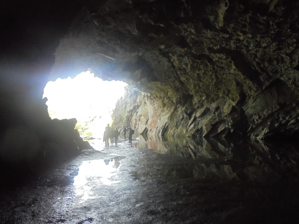
  • Rydal Water and Cave from White Moss
  • 298 audio storiesacross Lake District’s roads, triggered by GPS as you drive
  • Wildlife heatmapsfor Red Deer, Eurasian Otter, Osprey, and 13 more
  • Works offlinemaps, 265 trails, 89 places, and audio download before you lose signal
  • CarPlay readysimple controls built for the drive
★★★★★
“Fantastic app with many points of information… It’s great to just turn on while you’re driving and it gives you an audio tour of the national Park. We love it!!!!”
JMJamesApp Store review
Download Parkwolf on the App StoreGet Parkwolf on Google Play

4.7 from 8,600+ ratings

Trail guide

Hiking Grasmere Trail

What this walk isThe Grasmere Trail is a point-to-point route from Grasmere to Ambleside, and the stored…

The Grasmere Trail is a point-to-point route from Grasmere to Ambleside, and the stored distance of 5.39 miles / 8.68 km is one way only, not a round trip. The official time is 3 hours at a steady walking pace, and the official difficulty is Easy. You start in Grasmere village by St Oswald's Church, so there is no separate approach distance added to the trail length.

How the route unfoldsLeave the village on Red Bank Road, climbing steadily for just under a mile / 1.
  • Leave the village on Red Bank Road, climbing steadily for just under a mile / 1.3 km of minor road.
  • Pick up the signed bridleway that also carries National Cycle Network route 6, then descend steeply.
  • Follow the lakeside path to the footbridge at the outlet of Grasmere and cross it.
  • Continue through Penny Rock Wood, cross the next footbridge, then climb by bridleway through woodland.
  • Turn left onto open fell with views over Rydal Water, drop to the Rydal shore and its picnic spots, then carry on into Ambleside.
Difficulty and footingWe rate it 3/10.

We rate it 3/10. It stays low throughout, but it is long for a village walk and the footing keeps changing: minor road, lakeshore path, woodland track, bridleway and open fell. The two things that ask most of you are the road climb out of Grasmere and the steep descent onto the lakeside path. Sensible footwear helps more than fitness here.

Roads, livestock and dogsThe main hazard is the hill and road walking, including a short road connection and sections…

The main hazard is the hill and road walking, including a short road connection and sections shared with traffic, plus fields with livestock. No route-specific permit was found. Dogs are welcome on the ordinary public route under close control, on a short lead near livestock and around horses, since the bridleway sections are shared.

Parking and the returnThe practical options are Stock Lane and Broadgate Meadow in Grasmere village, both pay and…

The practical options are Stock Lane and Broadgate Meadow in Grasmere village, both pay and display, with toilets at Stock Lane. Broadgate Meadow is the usual fallback when Stock Lane fills. Because this is a linear walk, plan the return before you set off: bus connections link Ambleside and Grasmere, or you can retrace the route on foot for roughly double the distance.

Nearby alternativeIf you want a self-contained loop with no transport to arrange, the Grasmere Lake Circular is…

If you want a self-contained loop with no transport to arrange, the Grasmere Lake Circular is the better pick. Choose this route when the Grasmere to Ambleside crossing and the lakeshore sequence are the point.

Wildlife

Wildlife in Lake District

All Lake District wildlife maps

Sighting maps show where each species has been reported across Lake District. Wildlife moves, so no sighting is guaranteed.

Keep exploring

Near Grasmere Trail

See it all on the map

Trails that start nearby

Places near the trailhead

Parkwolf’s Lake District ranking

Top-rated trails in Lake District

All 265 trails
  1. 1Scafell Pike via Hollow Stones from WasdaleChallenging · 9 km
  2. 2Helvellyn via Striding Edge and Swirral EdgeChallenging · 12.4 km
  3. 3CatbellsModerate · 6.6 km
  4. 4The Old Man of ConistonChallenging · 9 km
  5. 5Buttermere CircularEasy · 7.6 km
  6. 6The Fairfield HorseshoeChallenging · 17.2 km

Take Parkwolf to Lake District.

The audio tour guide for the drive, plus offline maps, trails, and wildlife heatmaps for when the signal drops.

4.7 from 8,600+ ratings

Download Parkwolf on the App StoreGet Parkwolf on Google Play