Parking
Start at Windermere railway station. Pay-and-display parking is available at the station, with additional parking in Windermere and Bowness. The station is also reachable by train and frequent bus.
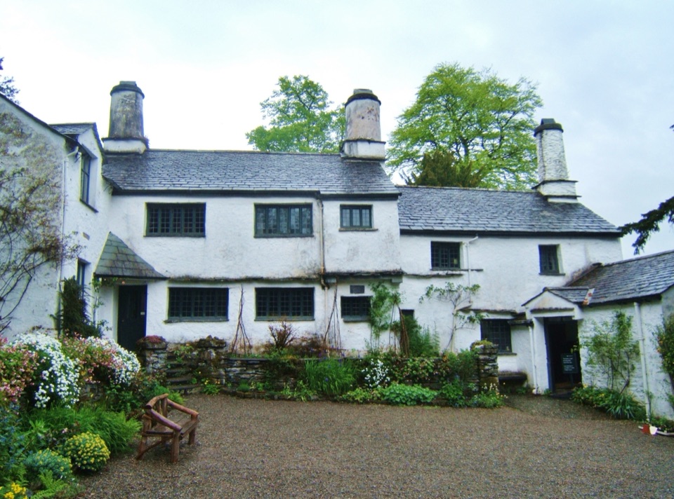
Lake District National Park, EN
Fell views, a 17th-century farmhouse, and reservoir tracks on a full loop
Overview
Map & elevation
Plan your hike

The highest, rockiest slopes around here are a summer buffet for grizzly bears.
Lake District Tour Guide
Parkwolf is a GPS audio tour guide for Lake District National Park. As you drive, it chimes in with what’s ahead: hidden gems, upcoming stops, history, geology, and wildlife, right through your car’s speakers.
Recorded for this trailhead
Orrest Head: A Short Climb for the View“You're coming up to the Orrest Head walk in Windermere, a short climb with a wide-open view over the lake and fells.”
Plays as you drive up to this trailhead in the Parkwolf Lake District Tour Guide.
More stories near here in the app
“Fantastic app with many points of information… It’s great to just turn on while you’re driving and it gives you an audio tour of the national Park. We love it!!!!”


Trail guide
This is a circular walk that begins and ends at Windermere railway station, and the mapped route here is the full return-to-station version at 8.0 miles (12.8 km). That figure follows the official visitor distance, while the mapped geometry reads a little longer because of connecting ways and a duplicated section near the station. Allow 2 hours 30 minutes to 4 hours 30 minutes, with 4.5 hours a sensible planning estimate for a relaxed pace with stops.
From the station the path climbs to Orrest Head for the early payoff of far-reaching views, then descends toward Causeway Farm and continues by Crosses Farm, Far Orrest Farm and Dubbs Road. Cross the A592 with care, cross Trout Beck by footbridge, and arrive at Townend at the crossroads. The return leaves Townend through Troutbeck village and past the post office, takes the longer line over Garburn Road and Dubbs Road past Dubbs Reservoir, meets Moorhowe Road, then passes Near Orrest Farm and rejoins Causeway Farm and Orrest Head for the final descent. A separate 4.0-mile (6.4 km) short option is also published for walkers who want a reduced version, but it is a different, shorter itinerary and not the route described above.
The grade is moderate. Footing shifts between field paths, lanes and rocky fell tracks, with rough ground and steep inclines on the return and one notably steep climb toward the end. Stiles and gates appear throughout. The higher tracks around Garburn and Dubbs are open and offer little shade or shelter, so wind and sun are both felt more strongly there. The Orrest Head section close to the station is an easy and well-known viewpoint climb, so it generally carries more foot traffic than the quieter middle and upper stretches.
Recurring hazards are country-road crossings, including the A592, along with stiles, gates, rocky tracks, steep inclines and the steep climb near the finish. Dogs are welcome under close supervision and should be kept on leads in fields because of livestock. The start is Windermere railway station (grid ref SD414985, LA23 1AH), reachable by train and frequent bus, with pay-and-display parking at the station and further parking in Windermere and Bowness.
Wildlife
 81 sightingsRed DeerMost seen around 7 PMSighting map
 13 sightingsEurasian OtterMost seen around 6 AMSighting map
 76 sightingsOspreyMost seen around 8 AMSighting map
 51 sightingsEuropean BadgerMost seen around 8 PMSighting map
 233 sightingsMute SwanMost seen around 6 PMSighting map
 176 sightingsGrey HeronMost seen around 7 AMSighting map
Sighting maps show where each species has been reported across Lake District. Wildlife moves, so no sighting is guaranteed.
Keep exploring
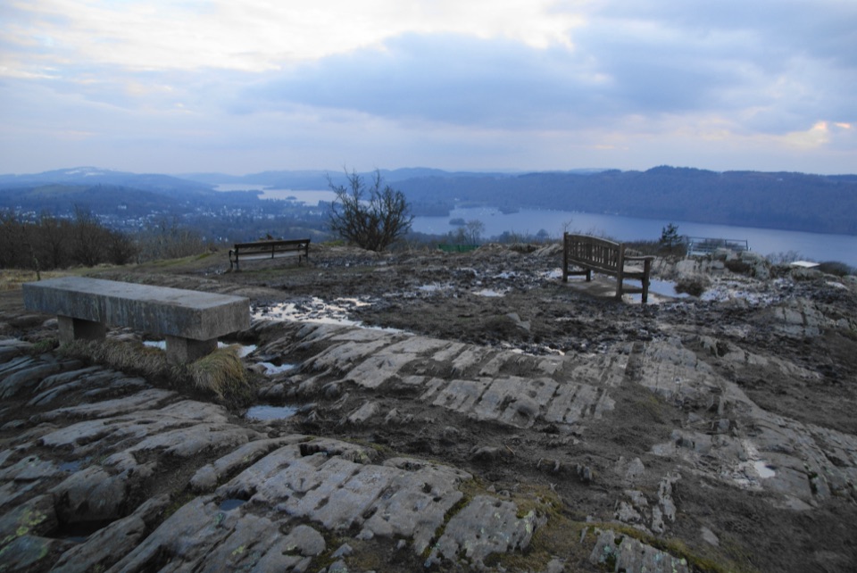 EasyOrrest Head3.5 km · 1.5 hr · 0.2 km awayShort accessible climb to a 360-degree lake and fells panorama
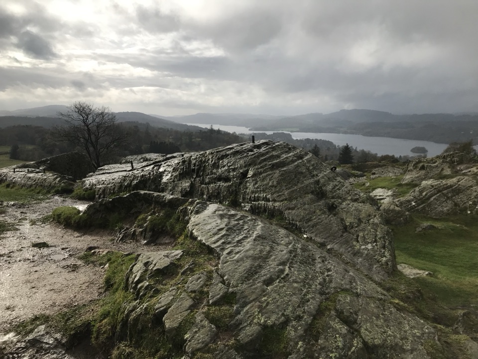 ModerateBrant Fell above Bowness-on-Windermere3.4 km · 1.8 hr · 2 km awayA steep 2.1 mile loop from Bowness to big Windermere views
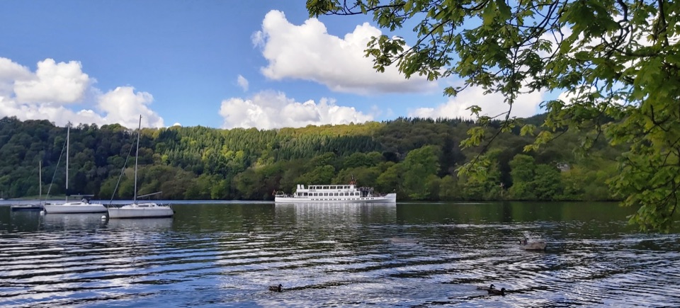 EasyBowness to Cockshott Point1.8 km · 1 hr · 2.4 km awayMostly level lakeshore loop with Belle Isle views, one short steep climb
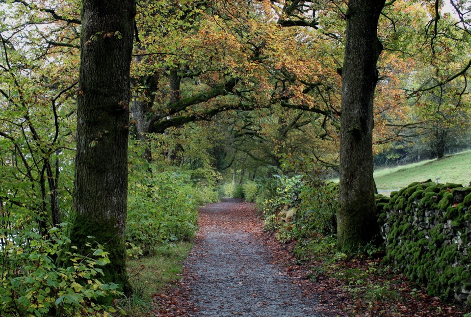 ModerateRed Nab to High Wray Bay5 km · 2 hr · 3 km awayA quiet lakeside track through oak woods to High Wray and Wray Castle
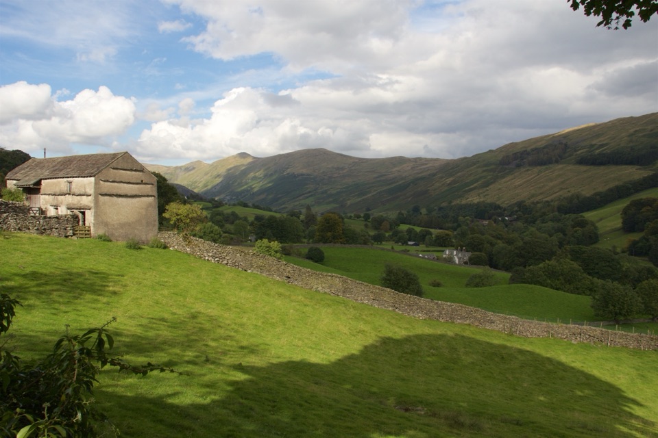 ModerateTownend and Troutbeck Valley Walk6.4 km · 2.5 hr · 3.3 km awayA gentle circuit of fell scenery, old lanes, and historic Townend
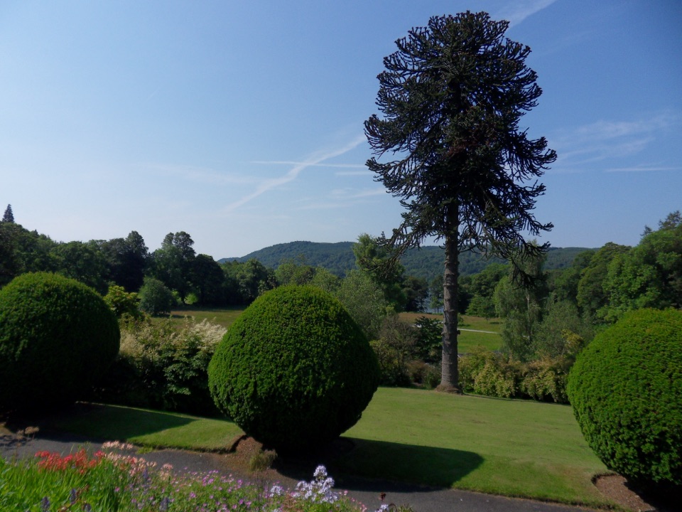 EasyBrockhole Lakeshore Loop1.5 km · 30 min · 3.3 km awayStep-free 1.5 km loop past gardens to the Windermere lakeshore
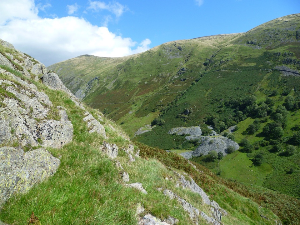 ModerateTroutbeck Tongue12.4 km · 3.3 hr · 4 km awayValley lanes, a steep bracken climb, and a pointed summit cairn
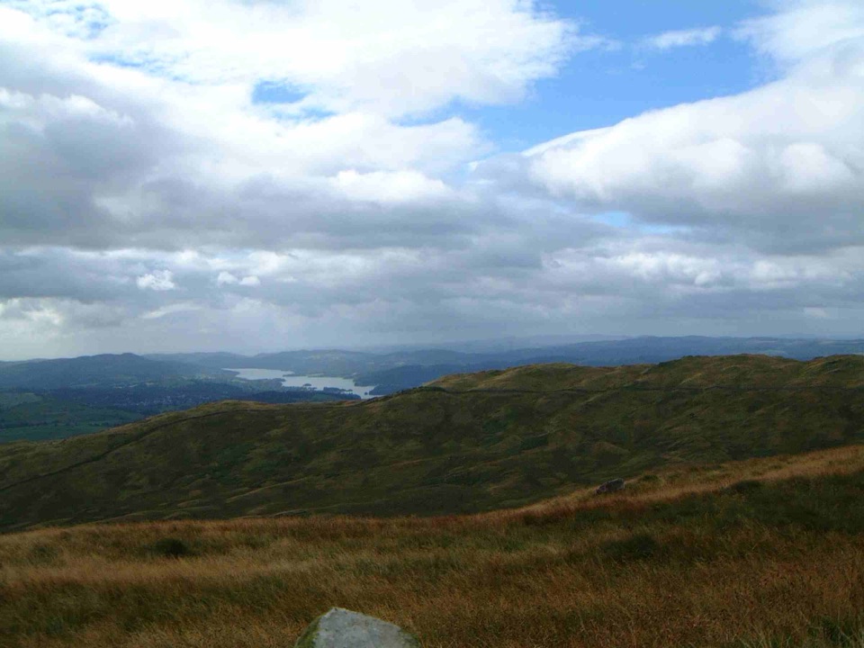 ModerateSour Howes and Sallows8.7 km · 3.5 hr · 4 km awayQuiet twin-fell circuit with wide Windermere and Kentmere viewsSight · 0.7 km awayOrrest HeadA short climb to Windermere's classic lake-and-fell panorama
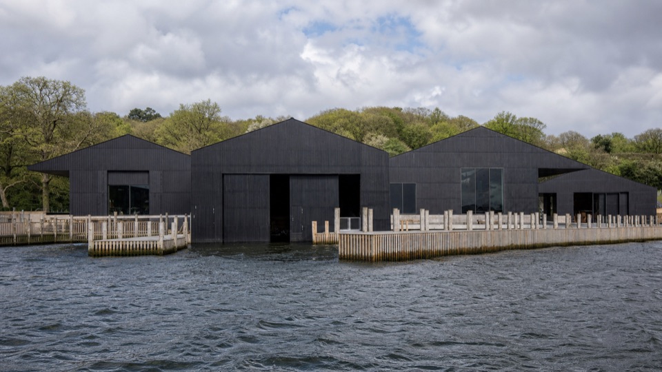 Sight · 1.5 km awayWindermere Jetty MuseumA lakeside museum where Windermere's boats come vividly to life
 Sight · 1.9 km awayThe World of Beatrix Potter AttractionWalk through Beatrix Potter's stories in detailed 3D scenes
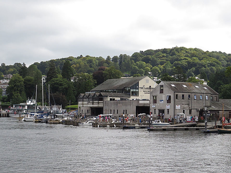 Sight · 2 km awayBowness-on-WindermereA lively lakefront town and launch point for Windermere
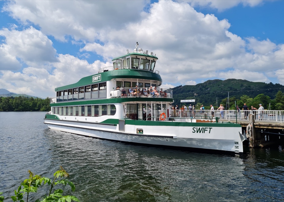 Sight · 2.3 km awayWindermere Lake CruisesClassic cruises turn Windermere into a day-long mountain panorama
 Sight · 2.3 km awayWindermereEngland's longest lake, lined with wooded shores and mountain views
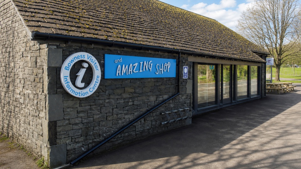 Visitor center · 2.4 km awayBowness on Windermere Information Centre and CaféThe practical lakefront base for Windermere maps, trips, and walks
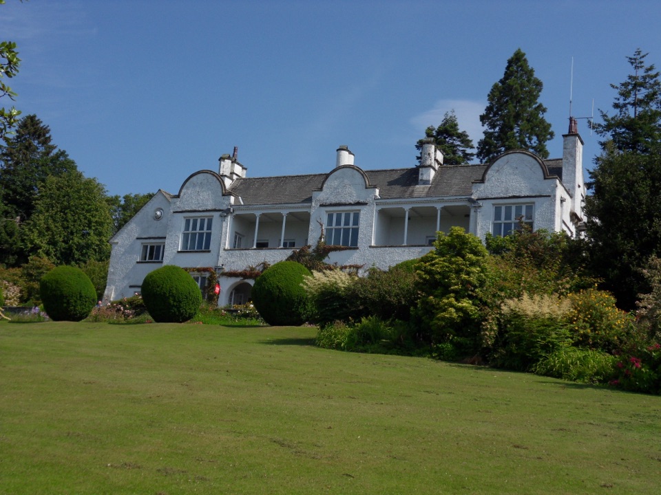 Sight · 3.4 km awayBrockhole on WindermereMawson gardens, woodland, and Windermere shore in one easy stop
Parkwolf’s Lake District ranking

The audio tour guide for the drive, plus offline maps, trails, and wildlife heatmaps for when the signal drops.





