Parking
Start at Brockhole Visitor Centre, Brockhole, Windermere LA23 1FF, using the visitor-centre car park. Begin from Brockhole rather than Townend’s separate property parking. Buses run from Windermere and Ambleside.
Lake District National Park, EN
A gentle circuit of fell scenery, old lanes, and historic Townend
Overview
Map & elevation
Plan your hike

The highest, rockiest slopes around here are a summer buffet for grizzly bears.
Lake District Tour Guide
Parkwolf is a GPS audio tour guide for Lake District National Park. As you drive, it chimes in with what’s ahead: hidden gems, upcoming stops, history, geology, and wildlife, right through your car’s speakers.
Recorded for this trailhead
Brockhole: Lakeshore, Gardens and Play“You're nearing Brockhole on Windermere, where lakeshore paths, gardens and an adventure playground make a useful stop for a family break.”
Plays as you drive up to this trailhead in the Parkwolf Lake District Tour Guide.
More stories near here in the app
“Fantastic app with many points of information… It’s great to just turn on while you’re driving and it gives you an audio tour of the national Park. We love it!!!!”


Trail guide
This is a 4-mile circular walk from Brockhole Visitor Centre, with the distance treated as the complete loop. The route follows the A591 edge, Wain Lane, Middlerigg Tarn, Troutbeck village and Townend, then returns by Robin Lane, a stile-linked track and Mirk Lane.
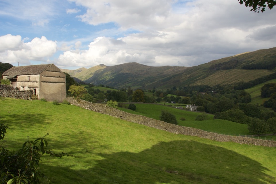
The payoff is a very Lake District mix of fell views, green fields, stone walls and traditional slate-roofed buildings. Wain Lane is an old cart lane, and the route passes the 17th-century Townend farmhouse before climbing gently to a clear view of Windermere. Look for Herdwick sheep in the fields and the old iron gates marking the aqueduct route.
The official rating is moderate, but this is a low-level walk rather than a summit day. Allow about 2 hours 30 minutes at an ordinary pace with stops. Expect country roads, bridleways and footpaths, several stiles, and uneven ground that can be muddy after wet weather. Sturdy walking shoes or boots are sensible.
Start at Brockhole Visitor Centre. The route is mostly level, but the stiles make it unsuitable for wheelchairs and pushchairs. Dogs are welcome, with close control and leads near livestock. The Robin Lane viewpoint is best on a clear day, when Windermere and the surrounding fells have the strongest definition.
Wildlife
 81 sightingsRed DeerMost seen around 7 PMSighting map
 13 sightingsEurasian OtterMost seen around 6 AMSighting map
 76 sightingsOspreyMost seen around 8 AMSighting map
 51 sightingsEuropean BadgerMost seen around 8 PMSighting map
 233 sightingsMute SwanMost seen around 6 PMSighting map
 176 sightingsGrey HeronMost seen around 7 AMSighting map
Sighting maps show where each species has been reported across Lake District. Wildlife moves, so no sighting is guaranteed.
Keep exploring
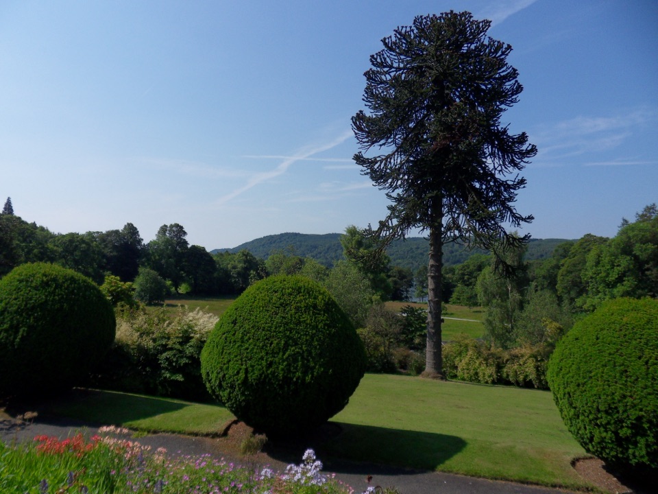 EasyBrockhole Lakeshore Loop1.5 km · 30 min · At the trailheadStep-free 1.5 km loop past gardens to the Windermere lakeshore
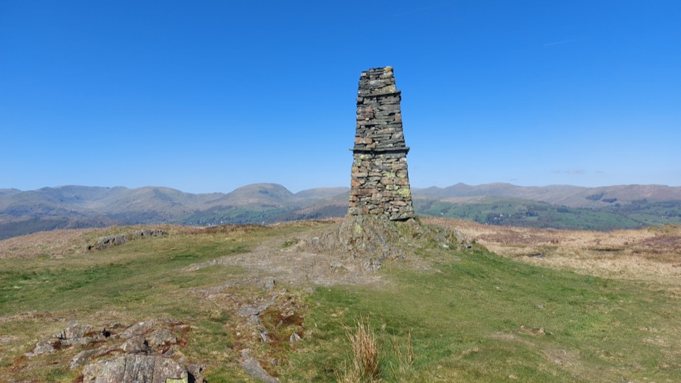 ModerateWray to Latterbarrow Circular Walk7.7 km · 2.5 hr · 1.6 km awayLakeshore start, field climbs, then a 244m summit with tarn views
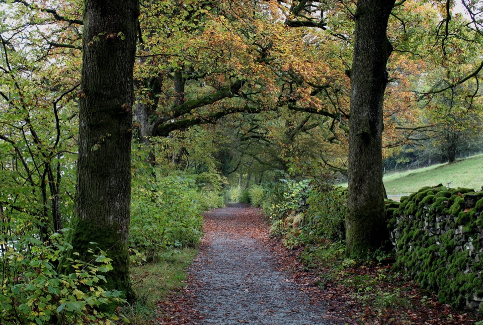 ModerateRed Nab to High Wray Bay5 km · 2 hr · 1.7 km awayA quiet lakeside track through oak woods to High Wray and Wray Castle
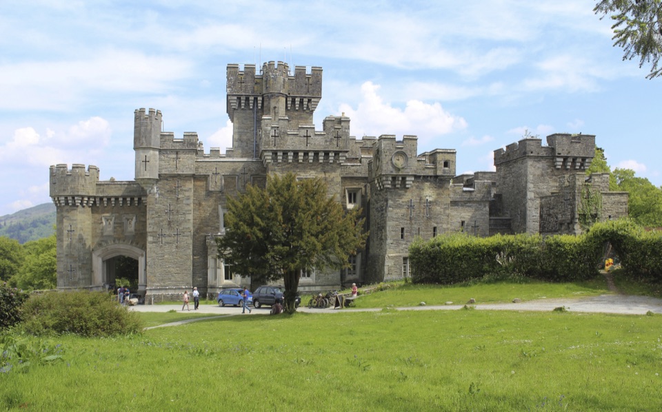 EasyWray Castle to Blelham Tarn Circular Walk5.6 km · 1.8 hr · 1.7 km awayGothic castle, hidden tarn and Windermere shore in 3.5 miles
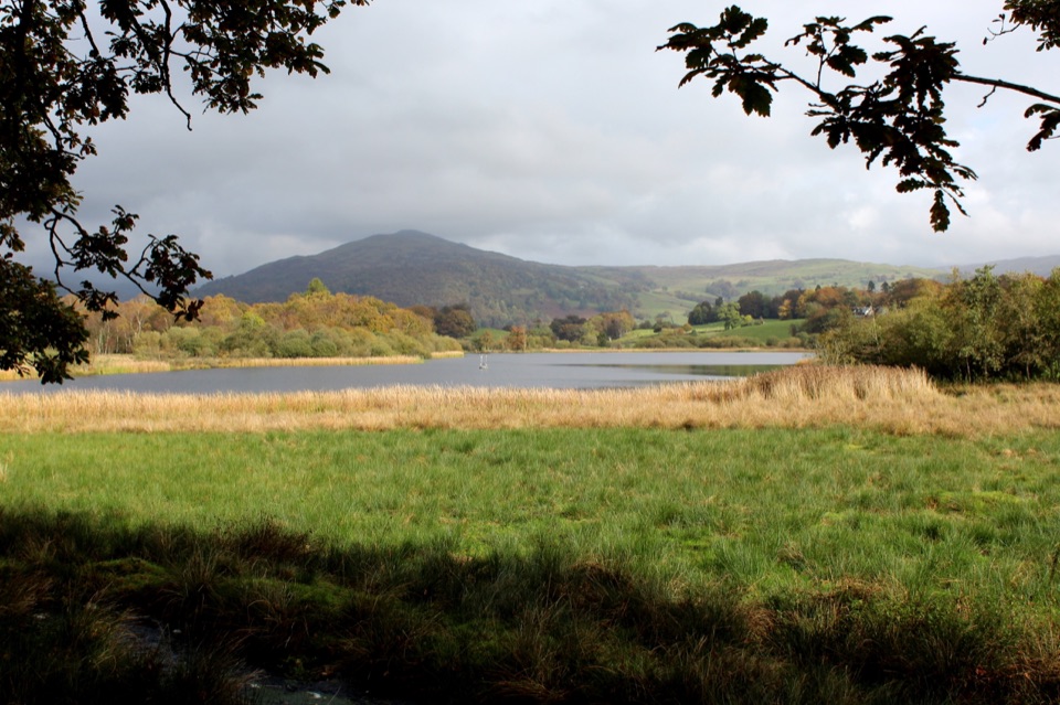 ModerateWray Castle to Low Loanthwaite3.7 km · 1.5 hr · 1.7 km awayMeadows, woodland, and Blelham Tarn on a short valley crossing
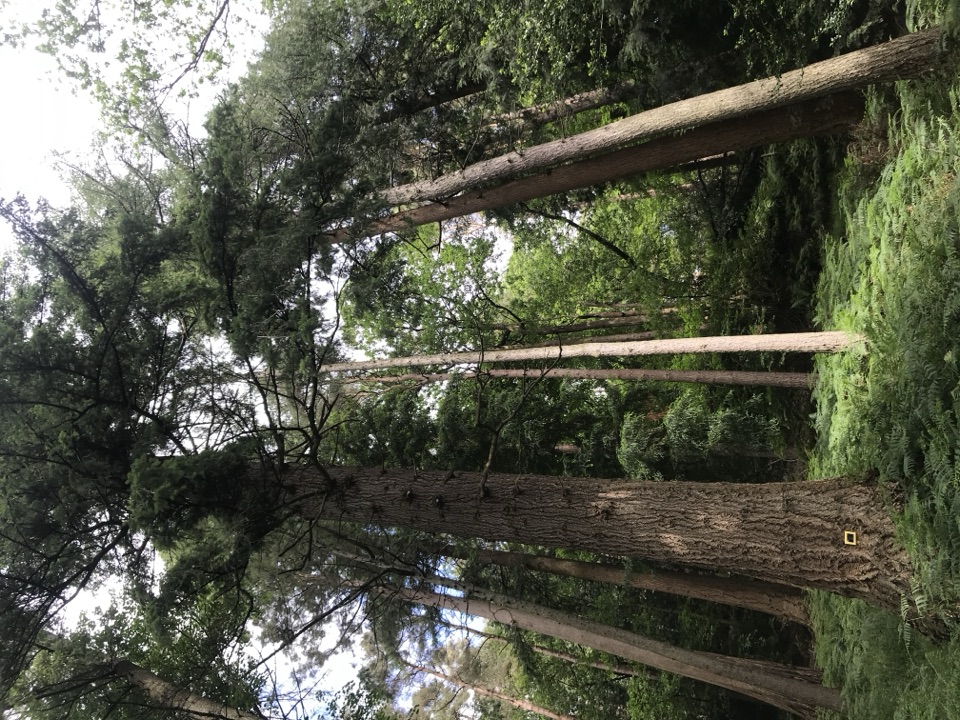 EasyAmbleside Champion Tree Trail1.3 km · 45 min · 2.2 km awayShort woodland loop past some of England's tallest champion trees
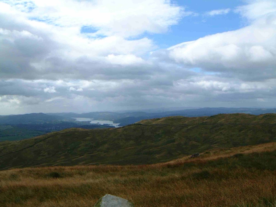 ModerateSour Howes and Sallows8.7 km · 3.5 hr · 2.6 km awayQuiet twin-fell circuit with wide Windermere and Kentmere views
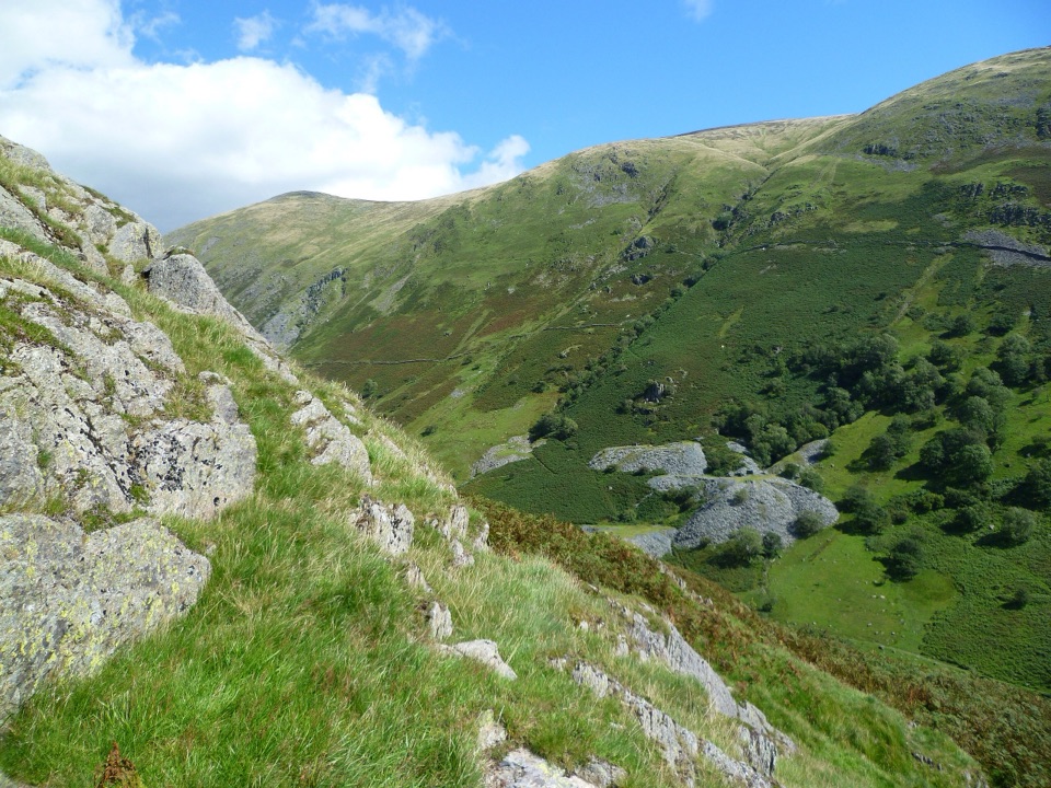 ModerateTroutbeck Tongue12.4 km · 3.3 hr · 2.6 km awayValley lanes, a steep bracken climb, and a pointed summit cairn
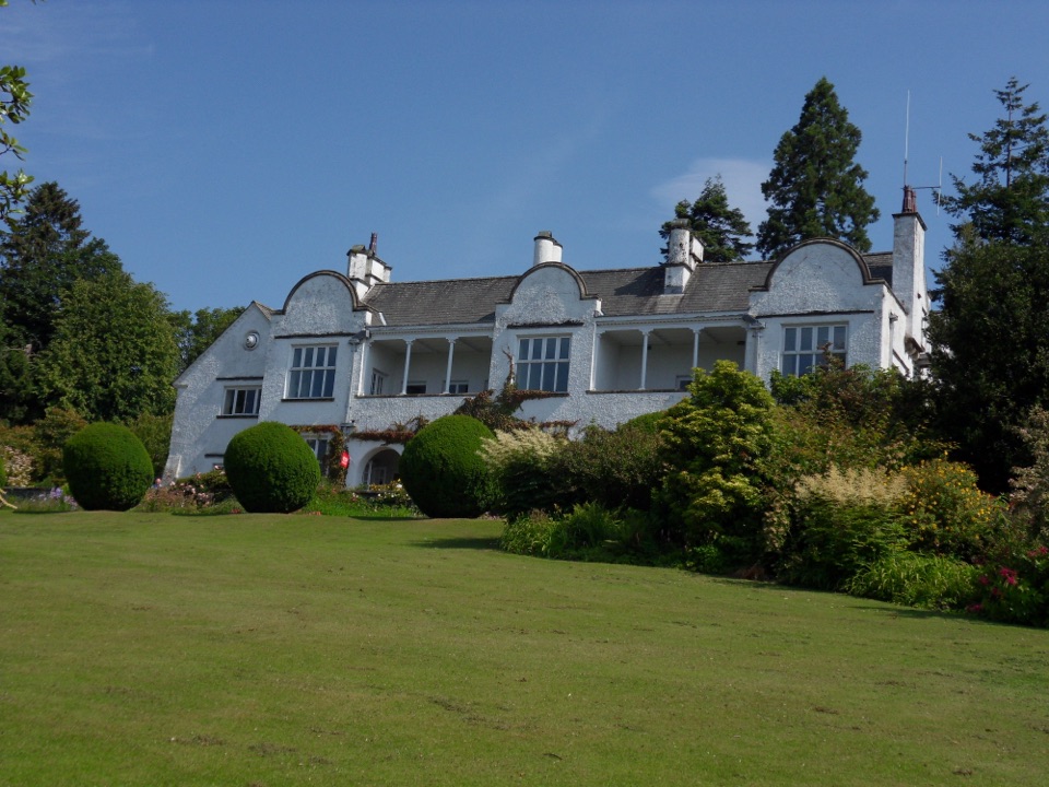 Sight · 0.2 km awayBrockhole on WindermereMawson gardens, woodland, and Windermere shore in one easy stop
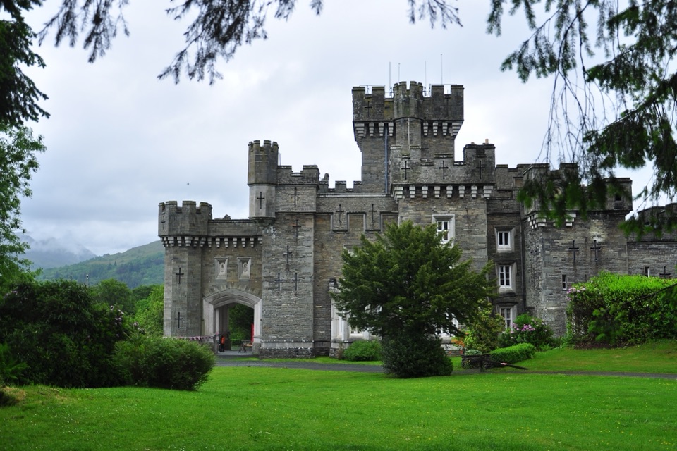 Sight · 1.6 km awayWray CastleA turreted lakeshore estate tied to Beatrix Potter's first visit
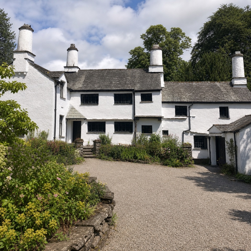 Sight · 2 km awayTownendA lived-in farmhouse where 400 years of Browne family life remain.
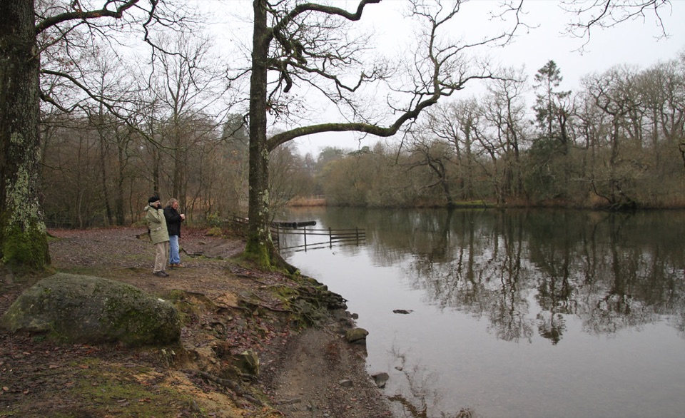 Campground · 2.2 km awayLow Wray CampsiteLakeside camping beside Windermere, with Wray Castle next door
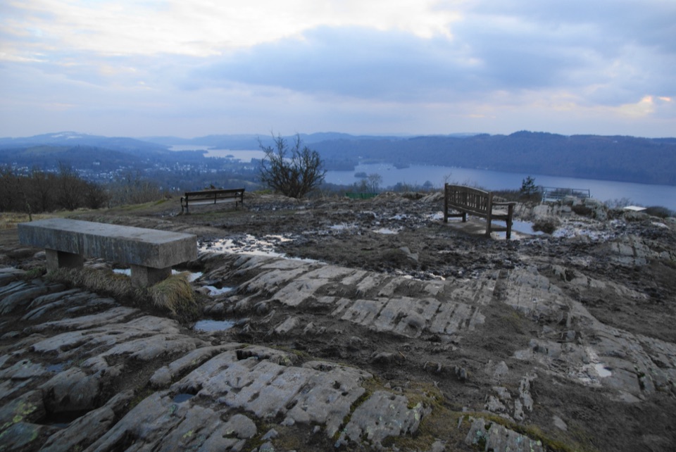 Sight · 2.8 km awayOrrest HeadA short climb to Windermere's classic lake-and-fell panorama
 Sight · 3 km awayWindermereEngland's longest lake, lined with wooded shores and mountain views
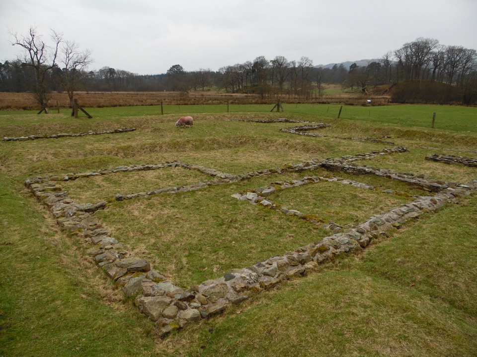 Sight · 3 km awayAmbleside Roman FortLow stone foundations make a Roman garrison surprisingly legible
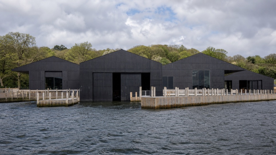 Sight · 3.6 km awayWindermere Jetty MuseumA lakeside museum where Windermere's boats come vividly to life
Parkwolf’s Lake District ranking

The audio tour guide for the drive, plus offline maps, trails, and wildlife heatmaps for when the signal drops.





