Bowness to Cockshott Point in Lake District National Park

Lake District National Park, EN

Bowness to Cockshott Point

Mostly level lakeshore loop with Belle Isle views, one short steep climb

Photo: Wikimedia Commons
Length
1.8km
Time
1hr
Elev. change
18m
Difficulty
Easy
  • Loop
  • Dogs allowed
  • High point 57 m
  • #122 of 265 in Lake District

Hear the audio tour

Windermere at Bowness

Overview

About Bowness to Cockshott Point

Why go

  • Smooth, mostly level lakeshore walking with Belle Isle views
  • Short route with benches, boats and town facilities nearby

Heads up

  • Busy waterfront and road crossings
  • The grassy spur to Cockshott Point is less accessible

Map & elevation

The route

Loading the Lake District map
Full map
Elevation39–57 m
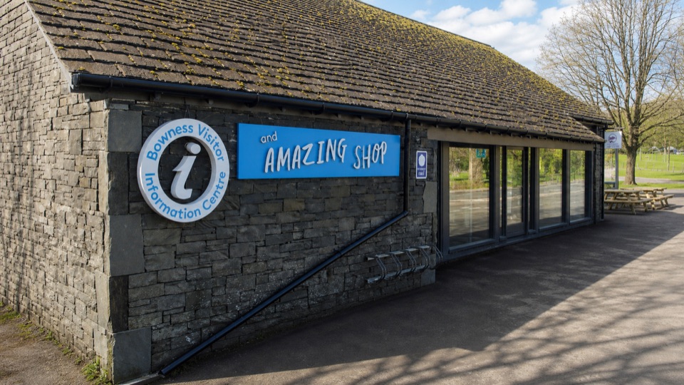
TrailheadBowness Information Centre54.36183, -2.92265
Keep this map with you offline in the Parkwolf app

Plan your hike

Before you go

Parking

Start at the Bowness Information Centre where Glebe Road meets the A592. Park beside Glebe Road where permitted, or use the signed car parks next to the road. Bowness is reached by the A592 or A5074 and regular buses from Windermere railway station.


Safety

Watch the road crossings and the short fairly steep uphill section on the return. The approach to Cockshott Point crosses a grassy field and is less accessible than the surfaced alternative. Keep dogs on a lead in fields because they can scare livestock.

8 active Lake District alerts

  • ClosureChapel Stile footpath closed for retaining-wall riskPart of Footpath 543030 between Chapel Stile and Baysbrown campsite is closed because a retaining wall beside the path could collapse and material it supports could fall across the footpath.Official details
  • ClosureStanley Ghyll Lower Falls footpath closed for rockfallThe section of Footpath 408037 leading towards Stanley Ghyll Lower Falls is closed because severe rockfall damage has made the path unstable and further rockfall remains a danger.Official details
See all 8 alerts
A park ranger sits on a dash-mounted phone, talking, as Parkwolf’s Tour Guide plays “Army Cutworm Moths: A Grizzly Bear Buffet” on Grand Loop Road below Dunraven Pass in Yellowstone
Parkwolf Tour GuideThe highest, rockiest slopes around here are a summer buffet for grizzly bears.

Lake District Tour Guide

Your drive to Bowness to Cockshott Point, narrated.

Parkwolf is a GPS audio tour guide for Lake District National Park. As you drive, it chimes in with what’s ahead: hidden gems, upcoming stops, history, geology, and wildlife, right through your car’s speakers.

Recorded for this trailhead

Windermere at Bowness
0:00 / 1:00
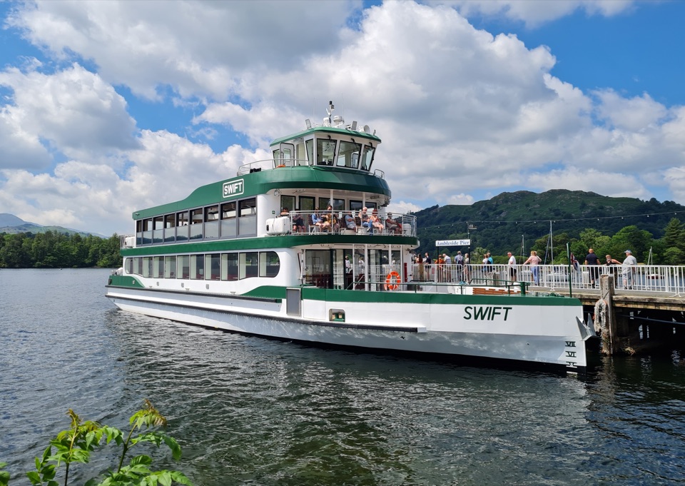
“You’re approaching Windermere’s waterfront at Bowness, a handy place to choose between a boat trip and a short lakeside walk.”

Plays as you drive up to this trailhead in the Parkwolf Lake District Tour Guide.

More stories near here in the app

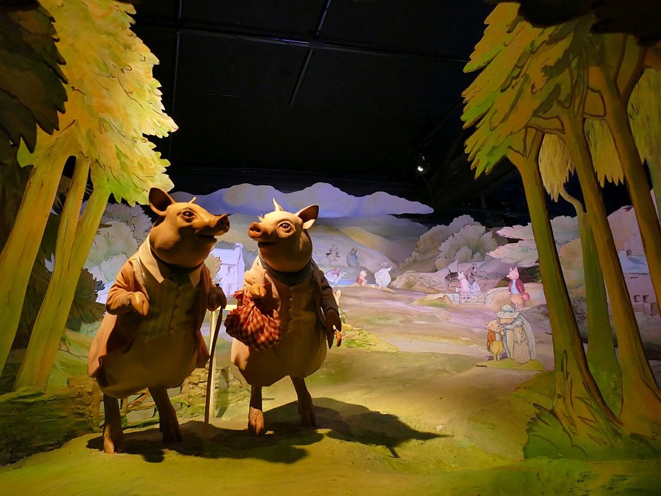
  • Bowness: Beatrix Potter or Brant Fell
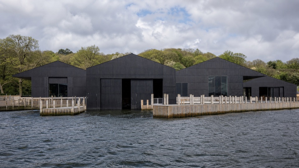
  • Windermere Jetty: Boats and Boatbuilders
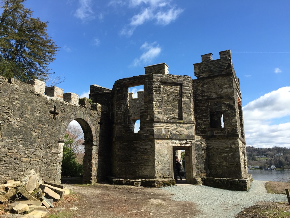
  • Claife Viewing Station: Colour and Shore
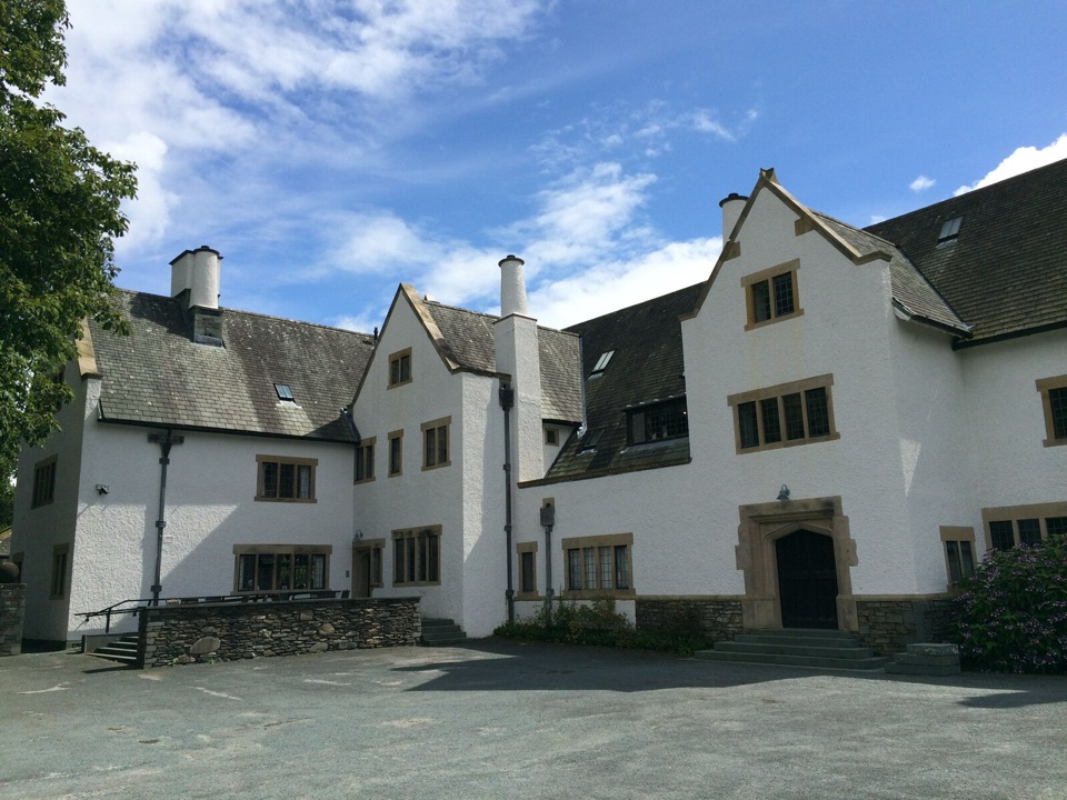
  • Blackwell: A House Full of Craft
  • 298 audio storiesacross Lake District’s roads, triggered by GPS as you drive
  • Wildlife heatmapsfor Red Deer, Eurasian Otter, Osprey, and 13 more
  • Works offlinemaps, 265 trails, 89 places, and audio download before you lose signal
  • CarPlay readysimple controls built for the drive
★★★★★
“Fantastic app with many points of information… It’s great to just turn on while you’re driving and it gives you an audio tour of the national Park. We love it!!!!”
JMJamesApp Store review
Download Parkwolf on the App StoreGet Parkwolf on Google Play

4.7 from 8,600+ ratings

Trail guide

Hiking Bowness to Cockshott Point

The routeA circular walk of 1.13 miles (1.

A circular walk of 1.13 miles (1.83 km) total, starting and finishing at the Bowness Information Centre where Glebe Road meets the A592. The emphasis is on easy going rather than distance, so allow about an hour if you stop at the benches, or half that if you keep moving.

How it unfoldsFollow Glebe Road along the waterfront with the lake on your right, then leave the road through…

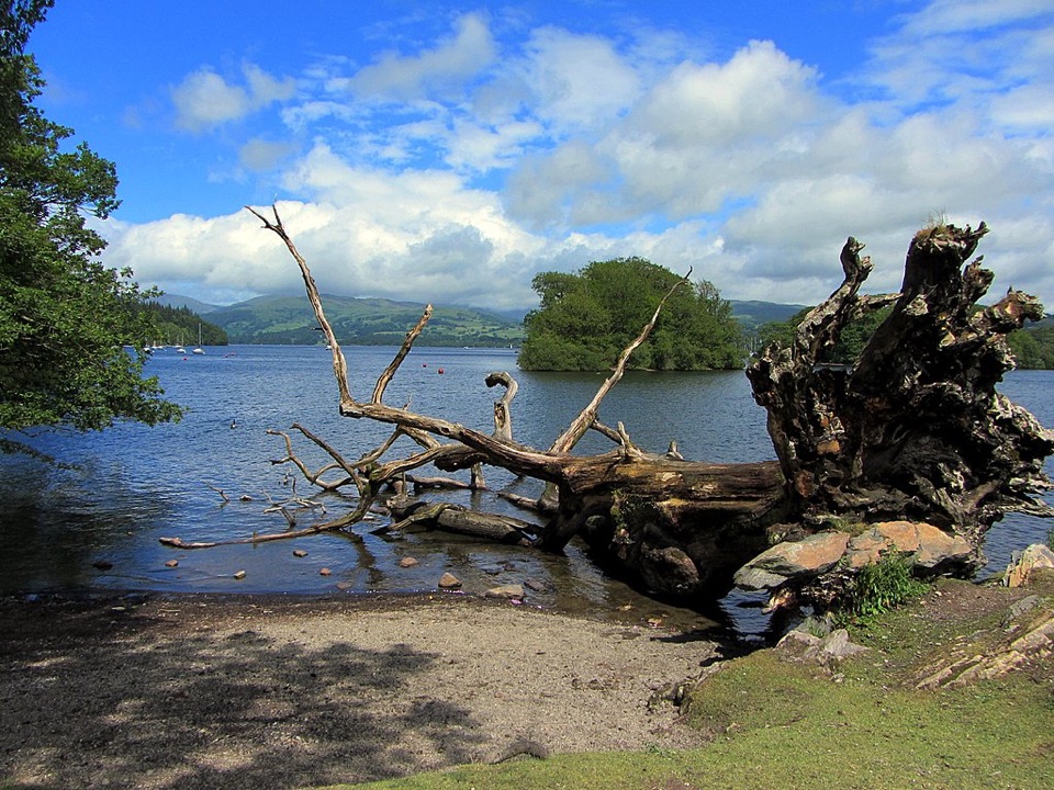
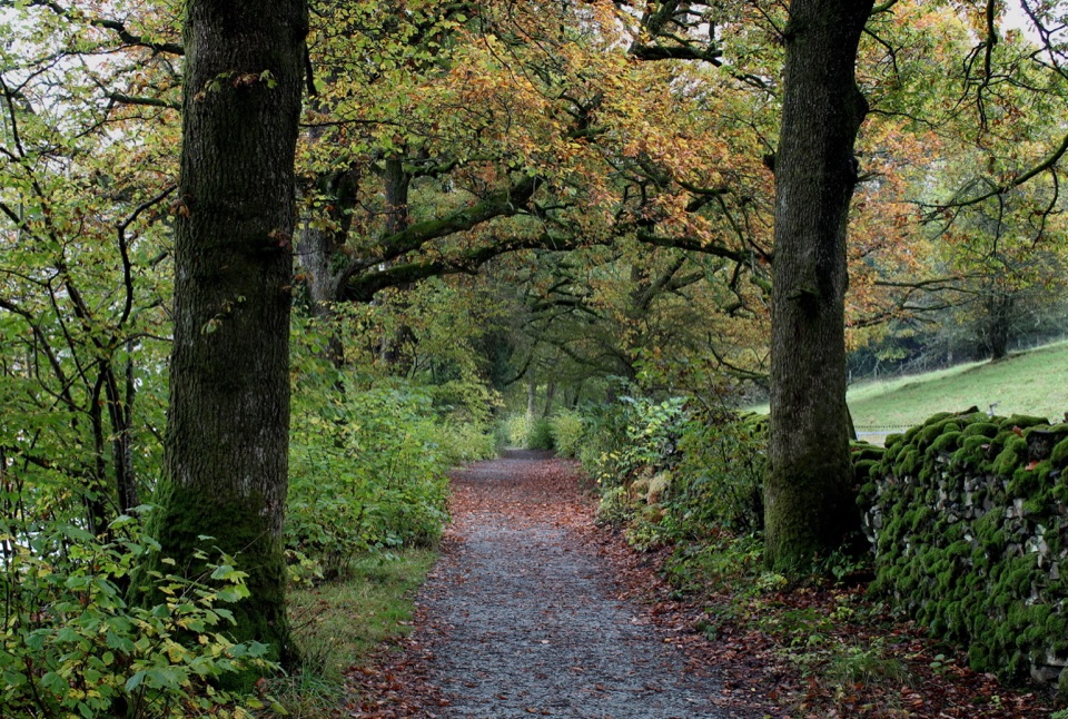
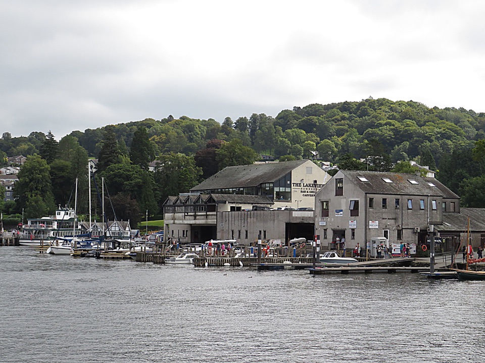
Follow Glebe Road along the waterfront with the lake on your right, then leave the road through a gate onto a well surfaced path. Cockshott Point itself is a short step to the right across a grassy field. The main path carries on and opens onto a surfaced lakeshore meadow with benches and views across to Belle Isle, then continues to Ferry Nab. The return heads back on smooth path, crosses Glebe Road and finishes along Rectory Road past the churchyard.

Difficulty and surfaceEasy, and graded for all.

Easy, and graded for all. Almost all of it is level or gently sloping on hard surfaces, with one short and fairly steep section on the way back. There are road crossings to watch, and the approach to the point is grass rather than path.

AccessibilityWheelchair and mobility scooter users should stay on the surfaced path, since the short spur to…

Wheelchair and mobility scooter users should stay on the surfaced path, since the short spur to Cockshott Point crosses a grassy field and is less accessible. Class 2 or 3 mobility scooters are required. Pushchairs cope well with the hard surfaced sections.

What you getWindermere shoreline, the outlook across to Belle Isle from the meadow, and the boat activity…

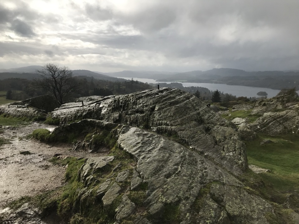
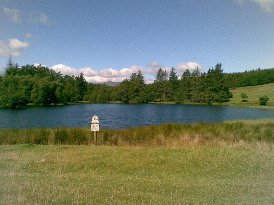
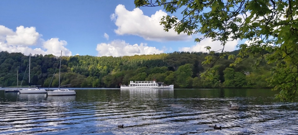
Windermere shoreline, the outlook across to Belle Isle from the meadow, and the boat activity around Ferry Nab. The open meadow with its benches is the natural place to sit for a while. Cockshott Point stays noticeably quieter than the central Bowness waterfront, which is only a few minutes behind you.

Light and photographsCentral Bowness is a busy waterfront, so the point is where you go for calm.

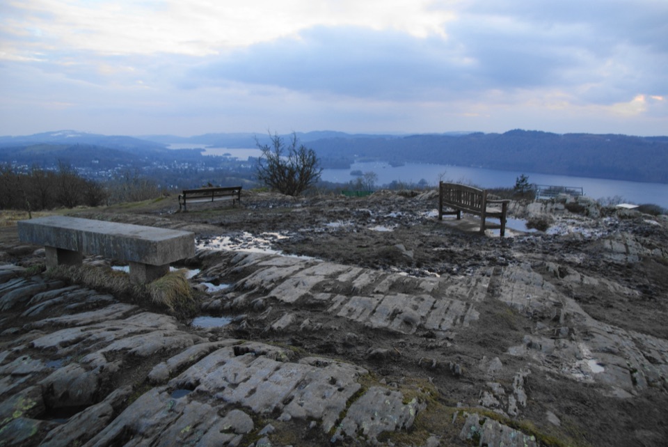
Central Bowness is a busy waterfront, so the point is where you go for calm. If you are after photographs, it is generally worth picking a quieter light, such as early morning or the last part of the day, when the view over the lake toward Belle Isle and the fells is at its softest. For a proper hill and a higher viewpoint instead, Orrest Head is the hillier option nearby.

Getting there, parking and dogsAccess is from Bowness, reached by the A592 or A5074, or by regular bus from Windermere railway…

Access is from Bowness, reached by the A592 or A5074, or by regular bus from Windermere railway station. Park beside Glebe Road where permitted, or use the signed car parks. Toilets, cafes and hotels are all in Bowness at the start and finish. Dogs are welcome under close supervision and must be kept on a lead in fields, since they can scare livestock.

Wildlife

Wildlife in Lake District

All Lake District wildlife maps

Sighting maps show where each species has been reported across Lake District. Wildlife moves, so no sighting is guaranteed.

Keep exploring

Near Bowness to Cockshott Point

See it all on the map

Trails that start nearby

Places near the trailhead

Parkwolf’s Lake District ranking

Top-rated trails in Lake District

All 265 trails
  1. 1Scafell Pike via Hollow Stones from WasdaleChallenging · 9 km
  2. 2Helvellyn via Striding Edge and Swirral EdgeChallenging · 12.4 km
  3. 3CatbellsModerate · 6.6 km
  4. 4The Old Man of ConistonChallenging · 9 km
  5. 5Buttermere CircularEasy · 7.6 km
  6. 6The Fairfield HorseshoeChallenging · 17.2 km

Take Parkwolf to Lake District.

The audio tour guide for the drive, plus offline maps, trails, and wildlife heatmaps for when the signal drops.

4.7 from 8,600+ ratings

Download Parkwolf on the App StoreGet Parkwolf on Google Play