Parking
Start at Arizona Hot Springs Trailhead parking on US 93. Walk east from the lot onto Horse Thief Canyon Road; the Arizona Hot Springs routes head under the highway in the opposite direction.

Lake Mead National Recreation Area, AZ · NV
A long dirt-road walk to two green springs in Horse Thief Canyon.
Overview
Map & elevation
Plan your hike

The highest, rockiest slopes around here are a summer buffet for grizzly bears.
Lake Mead Tour Guide
Parkwolf is a GPS audio tour guide for Lake Mead National Recreation Area. As you drive, it chimes in with what’s ahead: hidden gems, upcoming stops, history, geology, and wildlife, right through your car’s speakers.
See the Lake Mead audio tourRecorded for this trailhead
White Rock Canyon: The Hike to Arizona Hot Springs“You're nearing the White Rock Canyon trailhead, with hiking access to Arizona Hot Springs.”
Plays as you drive up to this trailhead in the Parkwolf Lake Mead Tour Guide.
More stories near here in the app
“Fantastic app with many points of information… It’s great to just turn on while you’re driving and it gives you an audio tour of the national Park. We love it!!!!”


Trail guide
Horse Thief Canyon Trail is an 8.8-mile out-and-back from Arizona Hot Springs Trailhead to two springs in the upper canyon. The route climbs about 1,500 feet; most of the way follows an unpaved canyon road, then a faint bypass skirts a dry waterfall and drops into the canyon. The payoff is a green pocket in bare desert rock. Allow about five hours. The mapped route is 8.8 miles round trip; other estimates are shorter, and the exact spring turnaround is not marked, so treat the mileage as approximate.
From the parking area, walk east on Horse Thief Canyon Road. The dirt road runs through open, rocky desert and makes up most of the approach. Near its end, a dry waterfall cliff blocks the wash. A faint trace climbs the ridge on the left, circles the cliff's north side, and drops into upper Horse Thief Canyon. The bypass can be hard to pick out among rock and brush, so keep an eye on the route rather than following the road blindly.
The first spring appears after you descend into the upper canyon; the second is roughly 1,000 feet farther along, with thicker brush around it. Their green trees and vegetation stand out sharply against the dry slopes. The mapped line follows the named canyon path through this spring area, but there is no signed turnaround. The more demanding Mount Wilson scramble loop continues beyond the springs and is a different, much longer outing. For a photo, frame the spring-side trees against the bare canyon wall; that contrast is the defining view.
This is an exposed desert walk with no confirmed potable-water stop. The springs are not a dependable drinking-water source. Lake Mead guidance calls for at least a gallon of water per person; summer heat can reach 120°F even in shade, so this is best for cooler months, not a summer afternoon. Stay out of the deep wash when storms threaten because flash floods can arrive quickly. Dogs are allowed on park hiking trails but must stay on a leash no longer than six feet.
Wildlife
 525 sightingsBighorn SheepMost seen around 5 PMSighting map
 116 sightingsBurroMost seen around 7 PMSighting map
 18 sightingsBald EagleMost seen around 4 PMSighting map
 99 sightingsWhite PelicanMost seen around 7 AMSighting map
 145 sightingsGreat Blue HeronMost seen around 7 AMSighting map
 106 sightingsTurkey VultureMost seen around noonSighting map
Sighting maps show where each species has been reported across Lake Mead. Wildlife moves, so no sighting is guaranteed.
Keep exploring
 ChallengingArizona Hot Spring Trail5 mi · 6 hr · At the trailheadA rough desert traverse ends at hot pools in a slot canyon.
 ChallengingWhite Rock Canyon Trail6.5 mi · 6 hr · At the trailheadThe rocky wash opens at the Colorado River.
 ChallengingLiberty Bell Arch Trail5.5 mi · 6 hr · At the trailheadA long, rough wash hike to an arch and river rim.
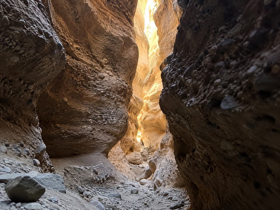 EasySpooky Canyon Trail1 mi · 1.3 hr · 0.6 mi awayA dark slot winds beneath a sculpted stone portal.
 ModerateSugarloaf Overlook Trail3.1 mi · 2.5 hr · 2.2 mi awayOld dam roads, sandy washes, and a Colorado River overlook.
 ChallengingFortification Hill Trail4 mi · 3.5 hr · 4 mi awayA steep desert climb to Lake Mead’s volcanic summit.
 ModerateBoy Scout Canyon Trail3.6 mi · 3.5 hr · 4.1 mi awayA sandy volcanic wash ends above a 330-foot plunge.
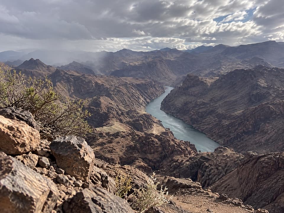 ChallengingColorado River Overlook Trail3.6 mi · 3.8 hr · 4.1 mi awayA river overlook reached by a rough wash, loose ridge, and scramble.
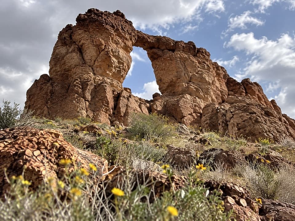 Sight · 1.5 mi awayLiberty Bell ArchA bell-shaped arch on a long, exposed desert hike.
 Sight · 2.1 mi awayArizona Hot SpringsA soak in canyon hot pools after a hard desert hike.
 Sight · 2.9 mi awayGold Strike Hot SpringsWarm pools tucked in a canyon, earned by a serious scramble.
 Sight · 3.4 mi awayHoover DamWalk the crest; a tunnel tour shows how the dam works.
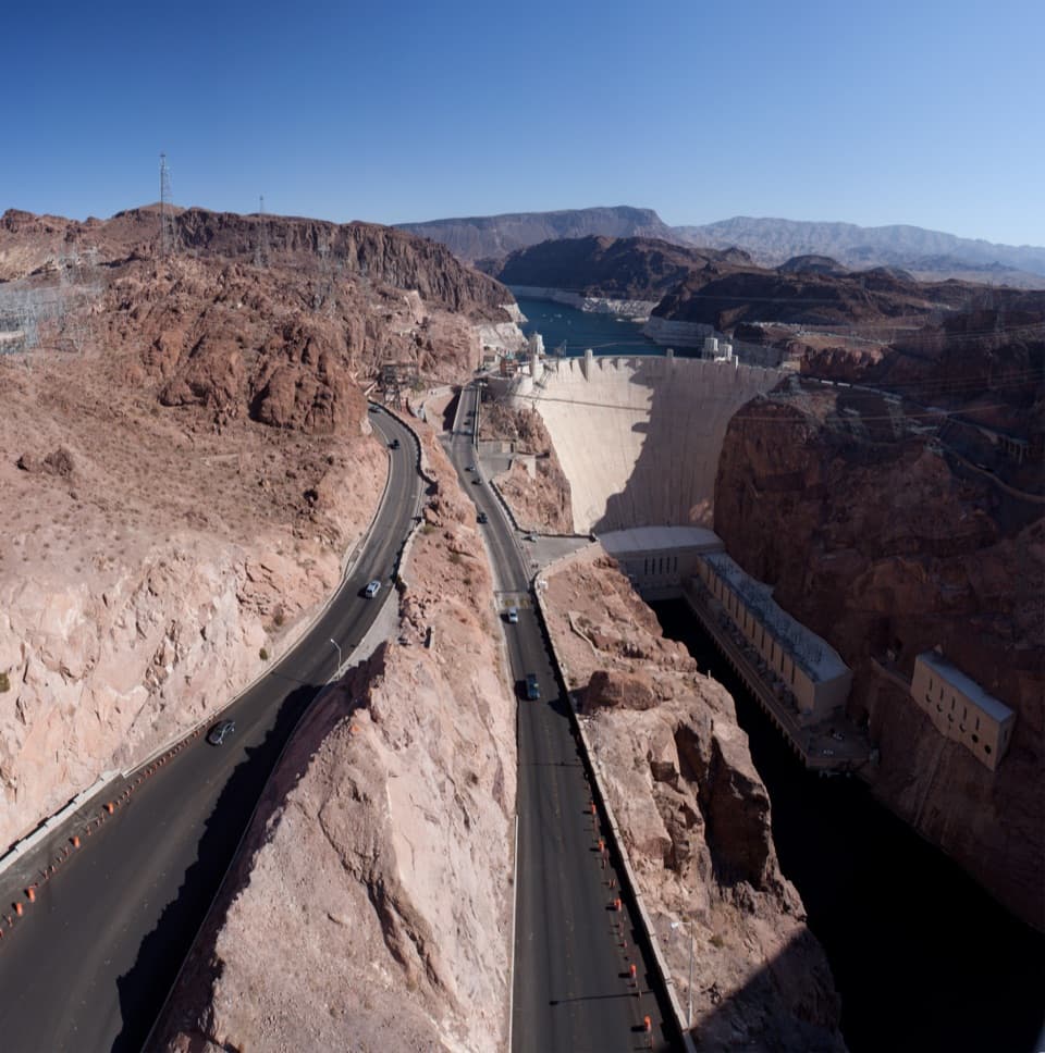 Sight · 3.5 mi awayMike O’Callaghan–Pat Tillman Memorial BridgeA dam view from a walkway perched high above the Colorado River.
 Beach · 4 mi awayKingman Wash BeachA desert cove that rewards the rough drive with open water.
 Sight · 4.4 mi awayLakeview Scenic OverlookA quick lake-and-desert panorama on the way to Hoover Dam.
 Restaurant · 5.1 mi awayThe Boat House Bar & GrillA floating restaurant and bar with views over the harbor and lake.
Parkwolf’s Lake Mead ranking

The audio tour guide for the drive, plus offline maps, trails, and wildlife heatmaps for when the signal drops.


