Parking
Start at the Grapevine Canyon Trailhead parking area on Christmas Tree Pass Road, about two miles north of its NV-163 turnoff. The final approach is unpaved; check current road conditions before driving in.
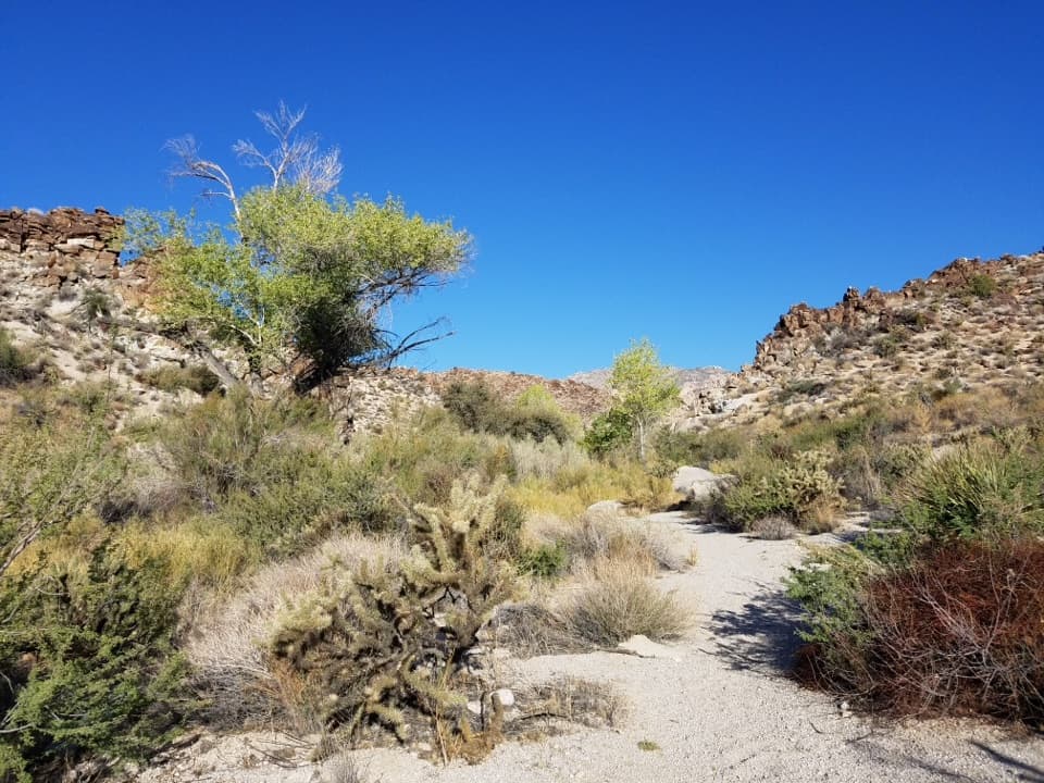
Lake Mead National Recreation Area, AZ · NV
Boulder-hop a seasonal waterfall route through granite narrows.
Overview
Map & elevation
Plan your hike

The highest, rockiest slopes around here are a summer buffet for grizzly bears.
Lake Mead Tour Guide
Parkwolf is a GPS audio tour guide for Lake Mead National Recreation Area. As you drive, it chimes in with what’s ahead: hidden gems, upcoming stops, history, geology, and wildlife, right through your car’s speakers.
See the Lake Mead audio tourRecorded for this trailhead
Grapevine Canyon: Rock Art at the Entrance“The access for Grapevine Canyon's petroglyphs is coming up. An unpaved road leads to the parking area, then it's about a third of a mile each way through soft sand to the first panels.”
Plays as you drive up to this trailhead in the Parkwolf Lake Mead Tour Guide.
More stories near here in the app
“Fantastic app with many points of information… It’s great to just turn on while you’re driving and it gives you an audio tour of the national Park. We love it!!!!”


Trail guide
Grapevine Canyon Waterfall Trail is a rough 3.4-mile out-and-back, about 1.7 miles each way from Grapevine Canyon Trailhead. The first quarter-mile follows a sandy wash to the petroglyphs; the longer route then works up-canyon through boulders, cottonwood groves and granite narrows to a seasonal 15-foot waterfall. Allow about three hours. The upper canyon is much slower than the entrance walk, so this is for hikers comfortable with uneven rock and a route that follows wash-side use-trails.
The wash reaches a gap between granite cliffs after about 0.27 mile. Petroglyphs are visible on both sides, with more panels scattered farther up the canyon. If the longer scramble isn't for you, this entrance walk is about 0.5 mile round trip. Leave the rock art as you find it; don't touch or climb on the panels.
Beyond the gap, the route continues west through wild grape and common reed. A large overhanging boulder and slickrock marks are reminders of a small cement dam that once caught water here, probably for ranchers to pipe down-canyon. The dam is gone. Farther on, sandy wash and cottonwood groves alternate with boulder scrambles and smooth granite. The groves bring birds into an otherwise rocky canyon and offer the main patches of shade.
The route passes shallow, winding granite narrows beyond the last large cottonwood grove. Just above them, a distinctive crag on the skyline looks like a head with its nose pointing north. At the next wash fork, stay left, into the south fork; that winding canyon reaches the waterfall. The north fork is a different route.
The 15-foot drop lands in two small granite pools beneath a cottonwood. Flow is seasonal, and the falls can be dry, but the narrow gorge is still the route's payoff. Red-spotted toad tadpoles may use the pools; leave them undisturbed.
The upper section involves repeated boulder-hopping over water-polished granite, which can be very slick, and the wash-side use-trails are rougher than a maintained path. Much of the wash is open, with shade mainly at the cottonwood groves. The National Park Service allows pets on hiking trails on a leash no longer than six feet. The access road is unpaved.
Wildlife
 525 sightingsBighorn SheepMost seen around 5 PMSighting map
 116 sightingsBurroMost seen around 7 PMSighting map
 18 sightingsBald EagleMost seen around 4 PMSighting map
 99 sightingsWhite PelicanMost seen around 7 AMSighting map
 145 sightingsGreat Blue HeronMost seen around 7 AMSighting map
 106 sightingsTurkey VultureMost seen around noonSighting map
Sighting maps show where each species has been reported across Lake Mead. Wildlife moves, so no sighting is guaranteed.
Keep exploring
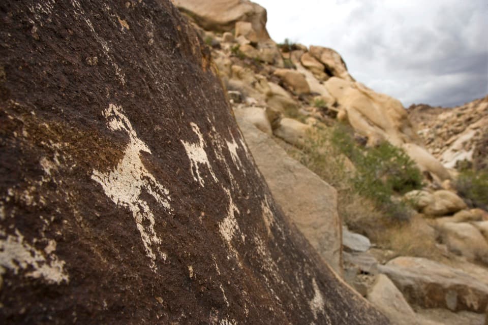 EasyGrapevine Canyon Petroglyph Trail0.6 mi · 45 min · At the trailheadA short sandy wash walk ends among the canyon's rock art.
 ChallengingSpirit Mountain Trail4.6 mi · 5 hr · 3.7 mi awayA rugged summit scramble on a sacred Mojave mountain.
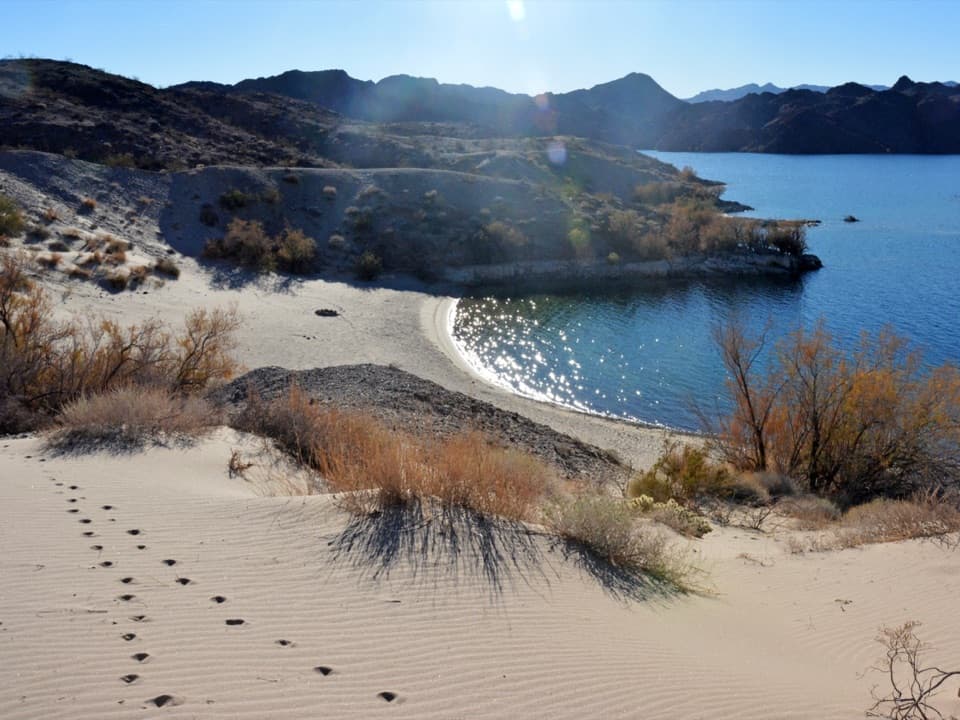 EasyFisherman's Trail0.6 mi · 30 min · 6.7 mi awayA quick walk to a sheltered, sandy Lake Mohave cove.Sight · 0.3 mi awayGrapevine Canyon PetroglyphsA short sandy walk opens onto a canyon full of rock art.
 Beach · 5.2 mi awayNevada Telephone CoveSandy shoreline for swimming, paddling and camping on Lake Mohave.
 Beach · 6.1 mi awayCabinsite CoveA pair of beaches, a small-craft launch, and two wrecks below.
 Beach · 6.2 mi awaySouth Arizona Telephone CoveA sandy Lake Mohave swim cove just north of Katherine Landing
 Beach · 6.2 mi awayNorth Arizona Telephone CoveA straightforward Lake Mohave cove for paddlers and small boats.
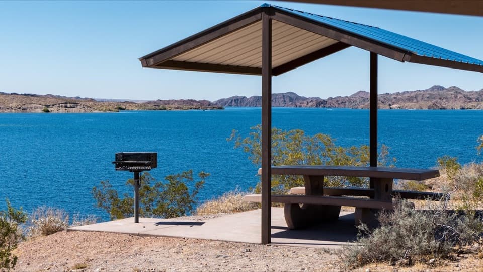 Beach · 6.2 mi awayPrincess CoveA cove for swimming, picnics, and launching onto Lake Mohave.
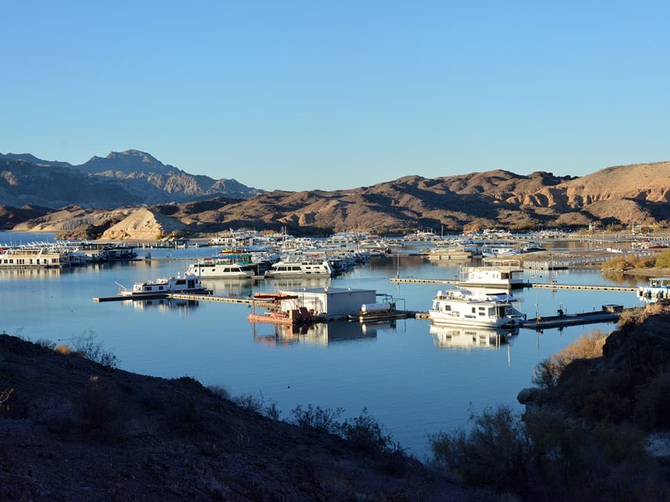 Sight · 6.5 mi awayKatherine LandingBoat access to Lake Mohave, with two trails to sandy coves.
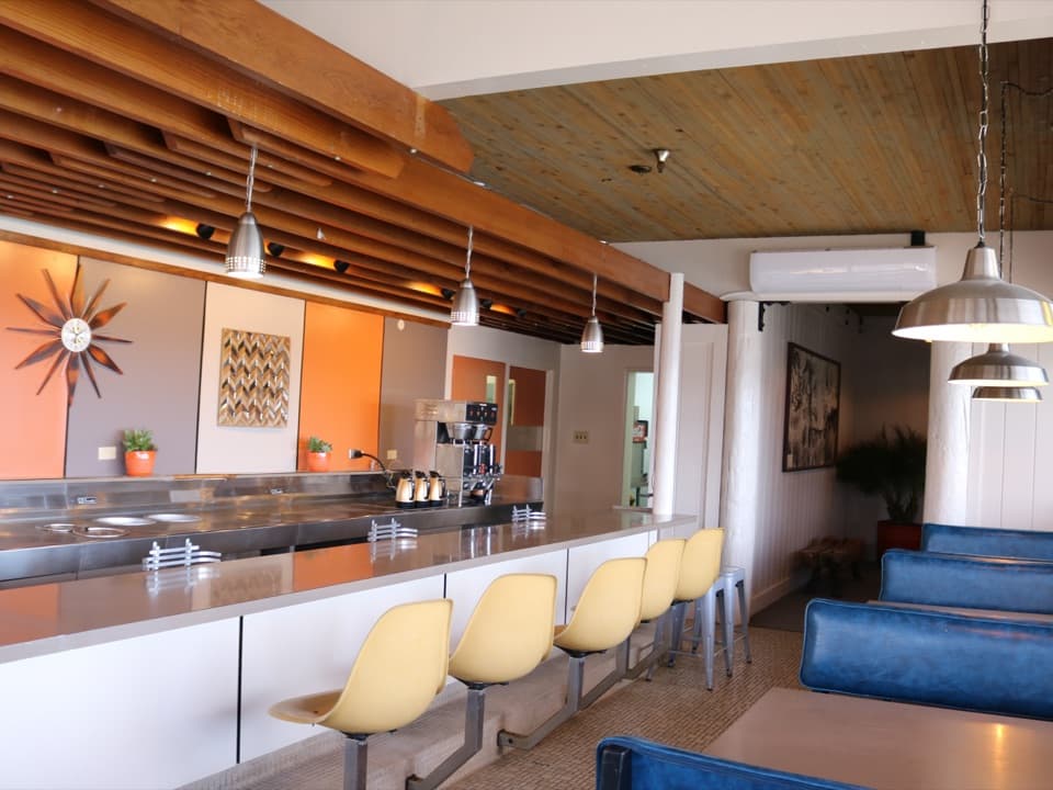 Restaurant · 6.6 mi awayNo Bad Days Bar & GrillA lakeside meal steps from the launch and swim beach
Parkwolf’s Lake Mead ranking

The audio tour guide for the drive, plus offline maps, trails, and wildlife heatmaps for when the signal drops.





