Place
Challenging

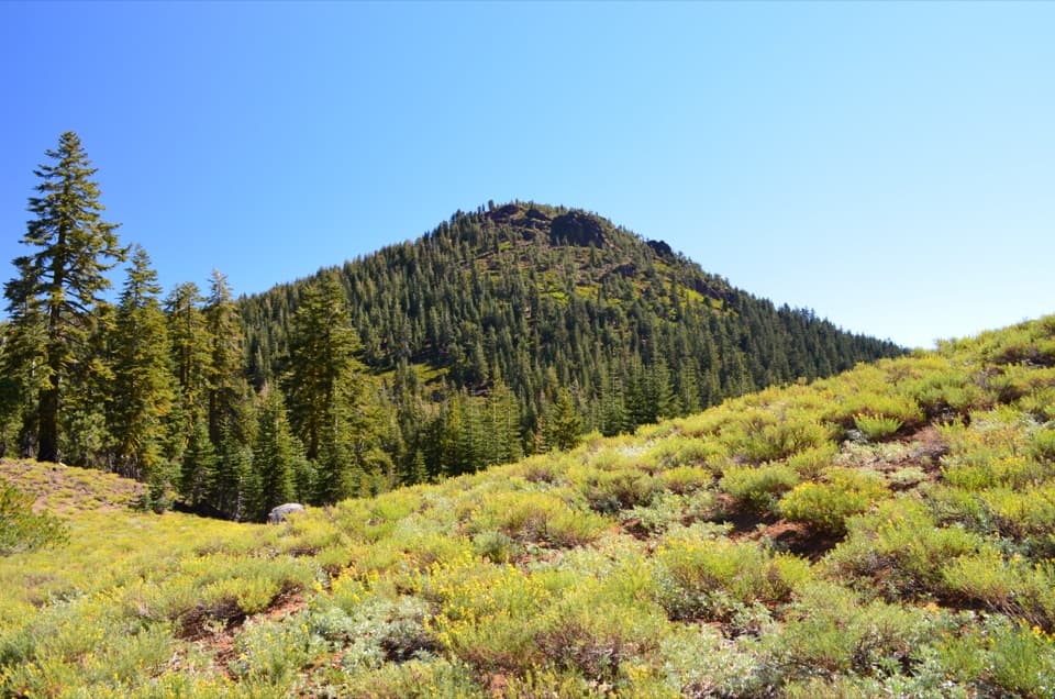
If you like solitude, big volcanic views, and don’t mind a steady climb, this is your summit. Prospect Peak (also signed “East Prospect”) is an out-and-back hike from the Butte Lake area that climbs a classic shield volcano to a forested crater rim. Plan for about 7.5 miles round trip (more if you wander the summit rim) and roughly 2,250 feet of gain. Expect around 4.5 hours for most hikers.
From the Butte Lake parking area, start on the signed trail toward Cinder Cone. In roughly 0.4–0.45 miles, turn right at the signed junction for Prospect/East Prospect Peak. The first stretch follows the old alignment of the Nobles Emigrant Trail before the climb begins in earnest. The path is generally clear but can feel faint in spots; there are tree markers, yet they may be sparse. Pro tip: if you’re unsure, turn around and look for markers facing the other direction, and carry a GPS track—especially useful on the descent.
Underfoot you’ll encounter volcanic cinders and ash that can feel like walking in sand—tiring but manageable with steady pacing and trekking poles. Most of the ascent is shaded through fir forest with limited views. About a half-mile from the top, the trees thin and the trail contours the south side with expanding vistas. On the summit, a short loop around the forested crater rim delivers 360° views and a USGS benchmark.
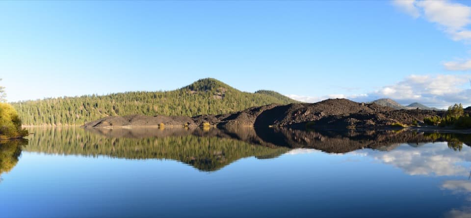
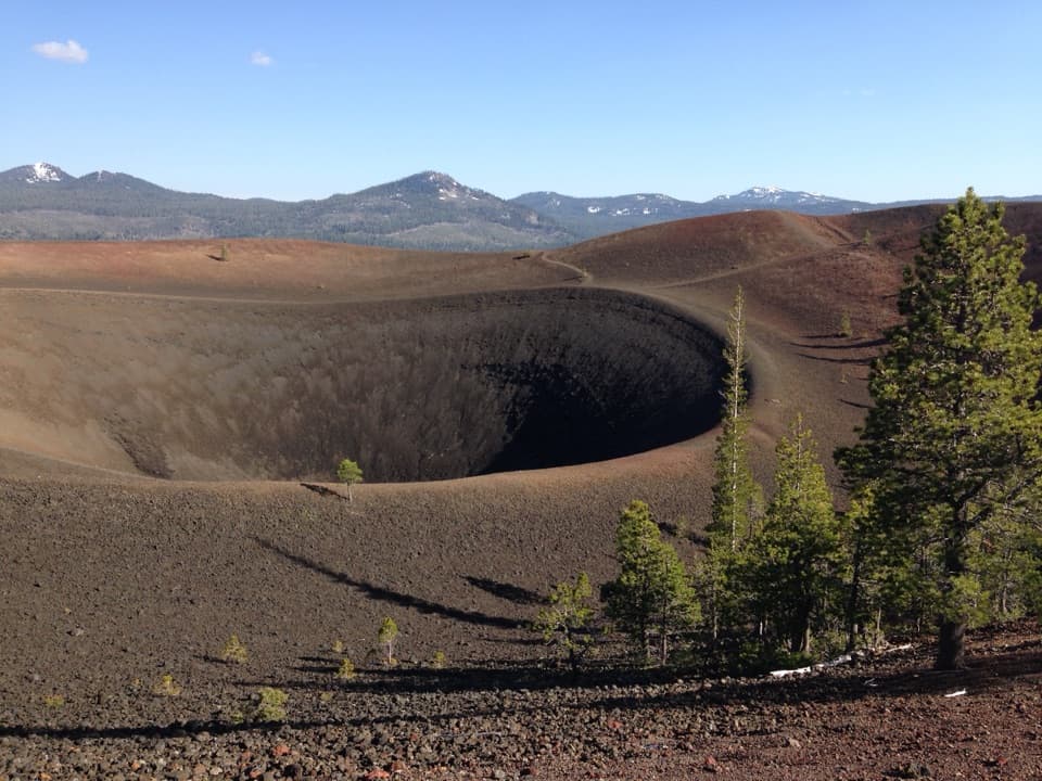
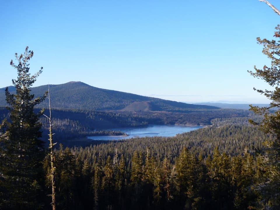
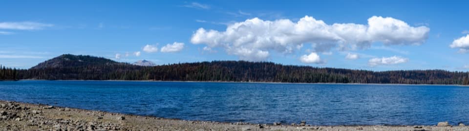
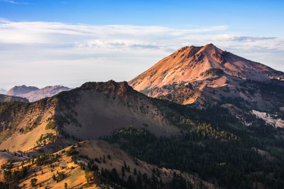
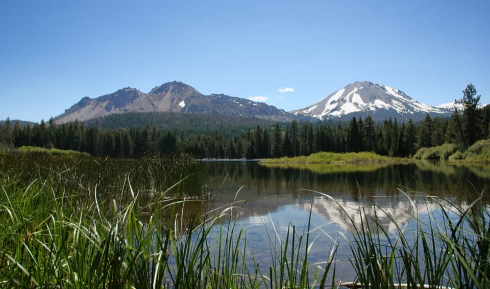
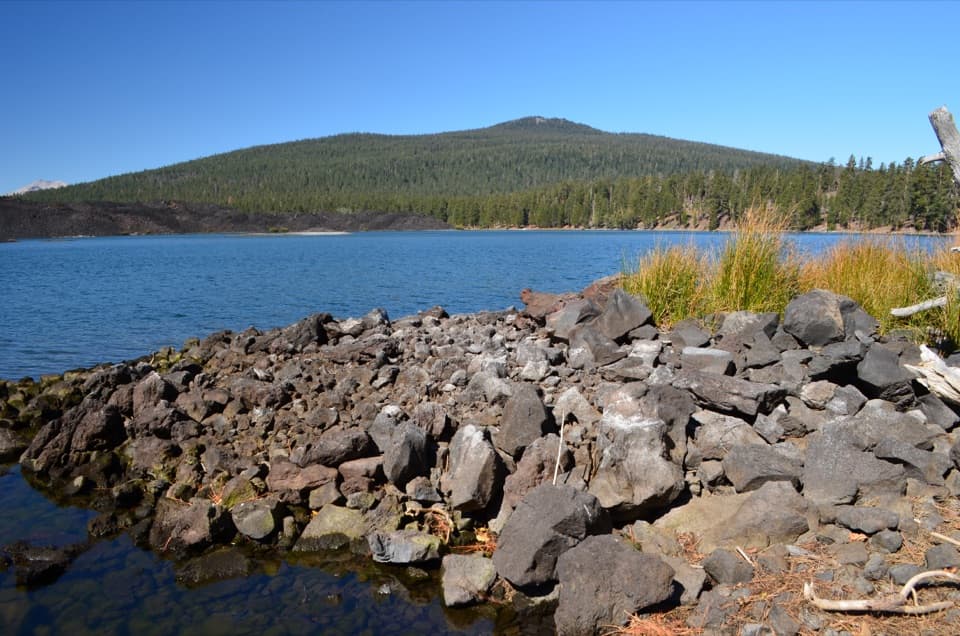
This hike is a tour of Lassen’s volcanic story: a shield-volcano ascent capped by a cinder cone and crater. From the upper slopes and summit area you’ll look down on Cinder Cone, the Painted Dunes, the Fantastic Lava Beds, and Butte Lake, with Lassen Peak and distant Mount Shasta on clear days. You may also pick out nearby West Prospect Peak, Chaos Crags, Snag Lake, and the broader Caribou Wilderness. Watch for bright green pinemat manzanita beneath the forest canopy and deer moving quietly through the trees.
It’s a sustained climb with loose, cindery tread that “moves” underfoot—more of a workout than a scramble. Many hikers find the ascent a bit monotonous until the views open near the top, but the broad summit panoramas and the quiet feel make it worth it if you enjoy longer, steadier efforts.
June through October is the sweet spot, when Butte Lake Road is typically snow-free and the trail is clear. Start early for cooler temps and calmer air; you’ll have shade for much of the climb and more exposure near the top. In winter and spring, vehicle access to Butte Lake is often limited by snow.
Access the trailhead via gravel Butte Lake Road, about 6 miles from CA‑44. Park at the Butte Lake area; restrooms are available. Standard park entry fees apply at the Butte Lake entrance/fee station. No dogs on this trail. Cell service has been reported at the summit (e.g., AT&T). If you’ve got gas in the tank after returning to the junction, consider adding the short Cinder Cone hike for a different angle on the Painted Dunes. Camping is available seasonally at nearby Butte Lake Campground, with dispersed options in Lassen National Forest outside the park.
Portions of the area show burn impacts from the 2021 fire season—expect typical post‑fire hazards like falling snags and unstable soils. The cindery surface can be abrasive and gets in shoes; closed footwear and gaiters help. Keep an eye out for wildlife and follow standard bear and mountain lion precautions.
Park at the Butte Lake area off gravel Butte Lake Road (~6 miles from CA‑44). Start toward Cinder Cone and turn right at the signed junction for Prospect Peak about 0.4–0.45 miles in. Restrooms at the parking area; standard park entry fee required.
Loose cinders, faint sections with sparse markers (carry GPS), post‑fire hazards like falling snags, limited winter/spring access to Butte Lake Road, and increased sun/wind exposure near the summit.