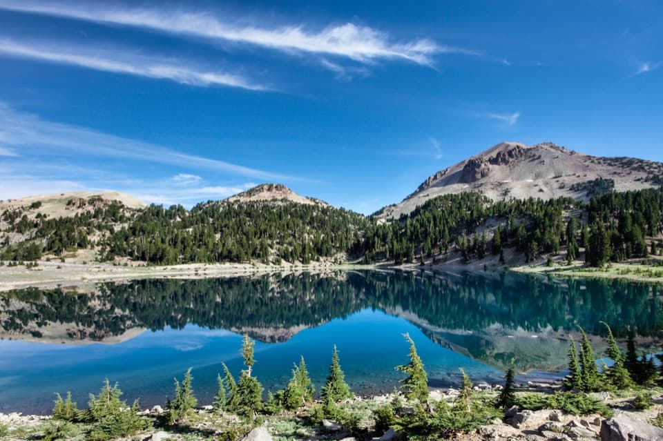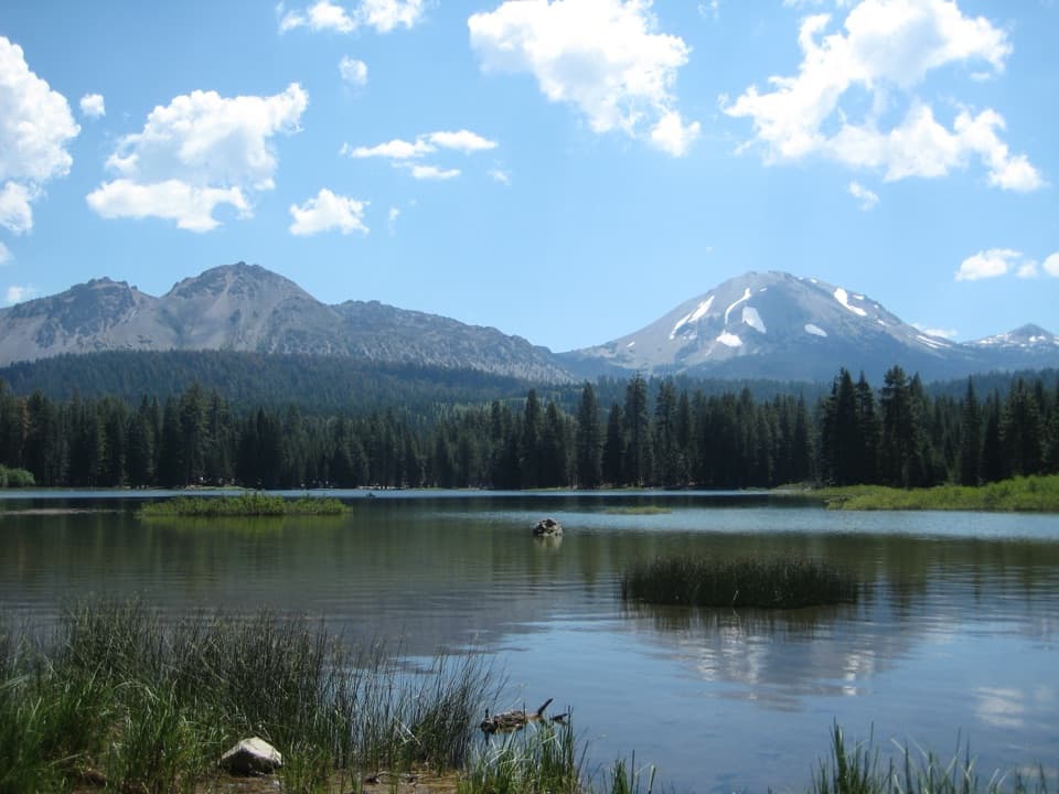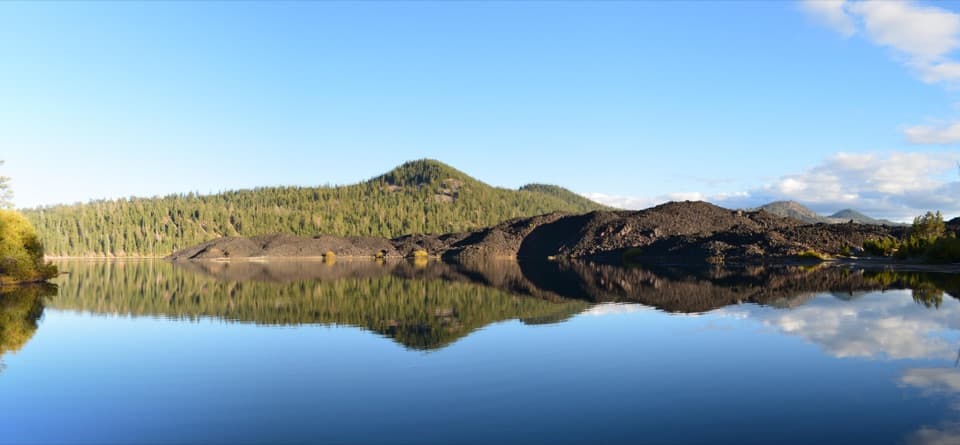
Butte Lake in Lassen Volcanic National Park

Sight · Lassen Volcanic National Park

Butte Lake

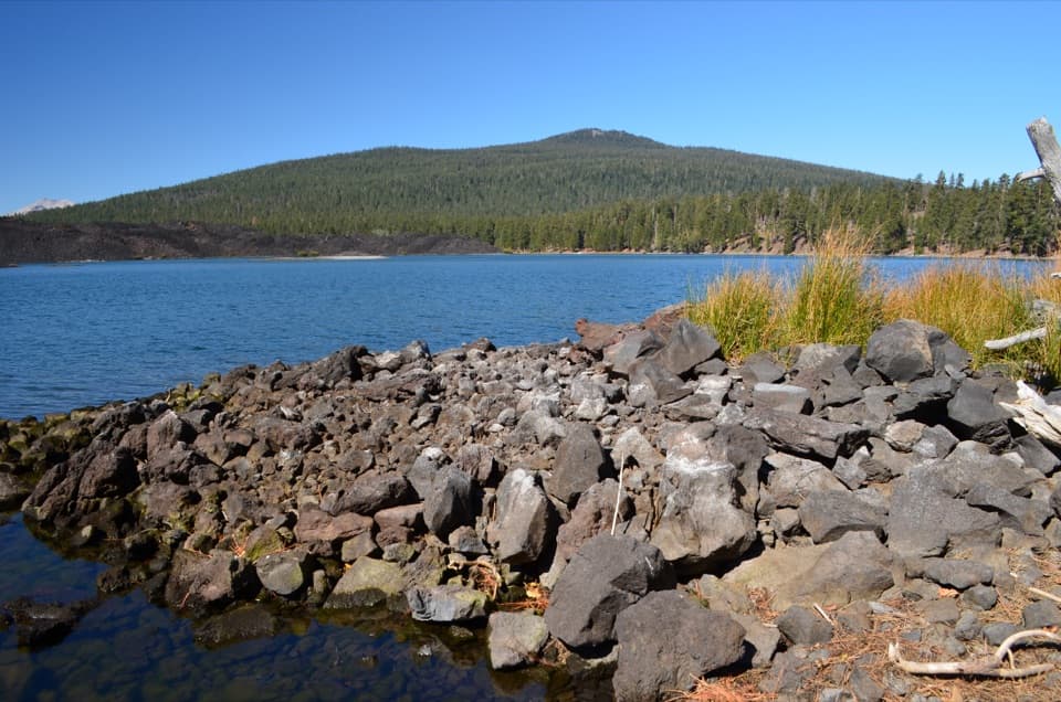
Blue water meets black lava at a remote northeastern lake.

Photo: Wikimedia Commons
Type
Sight
Nearest trail
Right here
Audio stories
2 nearby
  • Parking
  • Restrooms
  • Picnic tables
  • Trailhead
  • #12 of 37 sights

Hear the audio tour

Butte Lake and Cinder Cone

Overview

About Butte Lake

Why stop

  • Blue water and dark lava make the volcanic setting unmistakable.
  • One lakeside hub serves swimmers, paddlers, anglers and hikers.

Heads up

  • The six-mile dirt approach is remote and seasonal.
  • There is no cell service, and water and flush toilets are seasonal.
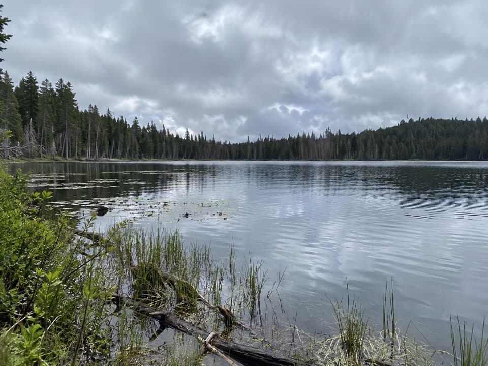
Butte Lake is a lake at 6,053 feet in the remote northeastern corner of Lassen Volcanic National Park. Its blue, often clear water meets rough black lava, with Cinder Cone and Prospect Peak rising beyond the shore. Make the drive if you want time for swimming, paddling or a picnic in a striking volcanic setting. From Highway 44, the lake is reached on a six-mile dirt road.
Parkwolf’s verdictA lake worth the detour

Map

Where it is

Loading the Lassen Volcanic map
Full map
SightButte Lake40.56496, -121.30181
Keep this map with you offline in the Parkwolf app

Plan your stop

Before you go

Facilities and access

The day-use area has picnic tables, some with charcoal grills, parking and trailheads for Cinder Cone, Bathtub Lake and Snag Lake. There are vault or composting toilets; flush toilets and drinking water depend on the adjacent campground being open and its water system running. Bring food and water rather than counting on services here, and download directions before you leave: there is no cell service. The dirt road is seasonal, generally open around May through November and closed by winter and spring snow. A park entrance fee or pass is required. Pets must stay in the parking area on a leash shorter than six feet.

1 active Lassen Volcanic alert

  • ClosureJuniper Lake campground and day-use area closedJuniper Lake Campground and day-use area are closed for maintenance and campground-improvement projects. - Potable water is unavailable in the campground.Official details
Lassen Volcanic alerts
A park ranger sits on a dash-mounted phone, talking, as Parkwolf’s Tour Guide plays “Army Cutworm Moths: A Grizzly Bear Buffet” on Grand Loop Road below Dunraven Pass in Yellowstone
Parkwolf Tour GuideThe highest, rockiest slopes around here are a summer buffet for grizzly bears.

Lassen Volcanic Tour Guide

Your drive to Butte Lake, narrated.

Parkwolf is a GPS audio tour guide for Lassen Volcanic National Park. As you drive, it chimes in with what’s ahead: hidden gems, upcoming stops, history, geology, and wildlife, right through your car’s speakers.

See the Lassen Volcanic audio tour

Recorded for this place

Butte Lake and Cinder Cone
0:00 / 0:35
“You're nearing Butte Lake, where blue water meets rough black lava. Stop for a picnic, a swim, or a paddle in a canoe or kayak; motorboats aren't allowed.”

Plays as you drive up to Butte Lake in the Parkwolf Lassen Volcanic Tour Guide.

More stories near here in the app

  • Lava That Built a Mountain
  • 45 audio storiesacross Lassen Volcanic’s roads, triggered by GPS as you drive
  • Wildlife heatmapsfor Black Bear, Bald Eagle, Mule Deer, and 13 more
  • Works offlinemaps, 59 trails, 56 places, and audio download before you lose signal
  • CarPlay readysimple controls built for the drive
★★★★★
“Fantastic app with many points of information… It’s great to just turn on while you’re driving and it gives you an audio tour of the national Park. We love it!!!!”
JMJamesApp Store review
Download Parkwolf on the App StoreGet Parkwolf on Google Play

4.7 from 8,600+ ratings

Guide

More about Butte Lake

Swim, paddle or fishThe western-tip day-use area has a small picnic grove between the parking area and the shore,…

The western-tip day-use area has a small picnic grove between the parking area and the shore, plus a short spur to a boat launch. You can swim from stretches of rough sand or small gravel, or take a canoe, kayak or other nonmotorized craft onto the water; all boats must use the launch. The launch has no dock or equipment. Rainbow trout are the fish most often caught, but brush and conifers make shore fishing awkward along much of the non-lava shoreline. A California fishing license is required, and fishing is not allowed in the launch area.

The volcanic viewFrom spots along the north shore, look across the water toward Cinder Cone and Prospect Peak,…

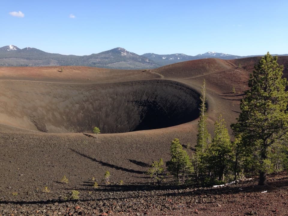
From spots along the north shore, look across the water toward Cinder Cone and Prospect Peak, with the Fantastic Lava Beds in the scene. For a photo, keep a dark strip of lava in the foreground so the blue water does not lose its volcanic setting. A much broader view of the lava country comes from Cinder Cone's summit, which takes a hike from the lake area rather than a stop at the parking lot.

A lake left by an eruptionButte Lake is the remnant of a larger lake that Cinder Cone's lava flows partly filled.

Butte Lake is the remnant of a larger lake that Cinder Cone's lava flows partly filled. Water from Snag Lake seeps beneath those flows and helps supply Butte Lake, about two miles to the north. Radiocarbon evidence places the Cinder Cone eruption between A.D. 1630 and 1670; the eruptive sequence likely lasted only a few months.

What to expect at the shoreADA parking is available, but the route downhill to the lake is dirt; the boat-launch loop is…

ADA parking is available, but the route downhill to the lake is dirt; the boat-launch loop is slightly sloped hard-packed dirt. Water here is often less cold than in other high-elevation lakes in the park, though the temperature varies. River otters are occasionally seen, but they are rare.

Wildlife

Wildlife in Lassen Volcanic

All Lassen Volcanic wildlife maps

Sighting maps show where each species has been reported across Lassen Volcanic. Wildlife moves, so no sighting is guaranteed.

Parkwolf’s Lassen Volcanic ranking

Top sights in Lassen Volcanic

All 56 places
  1. 1Bumpass HellSight
  2. 2Lassen PeakSight
  3. 3Sulphur WorksSight
  4. 4Cinder ConeSight
  5. 5Lake HelenSight
  6. 6Manzanita LakeSight

Take Parkwolf to Lassen Volcanic.

The audio tour guide for the drive, plus offline maps, trails, and wildlife heatmaps for when the signal drops.

4.7 from 8,600+ ratings

Download Parkwolf on the App StoreGet Parkwolf on Google Play