Bathtub Lake Loop in Lassen Volcanic National Park

Lassen Volcanic National Park, CA

Bathtub Lake Loop

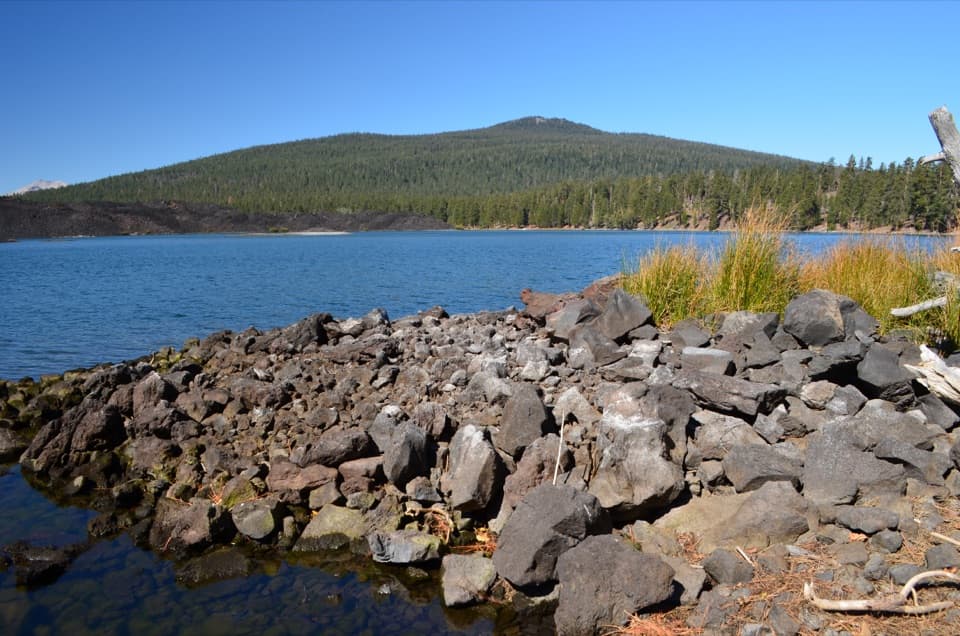
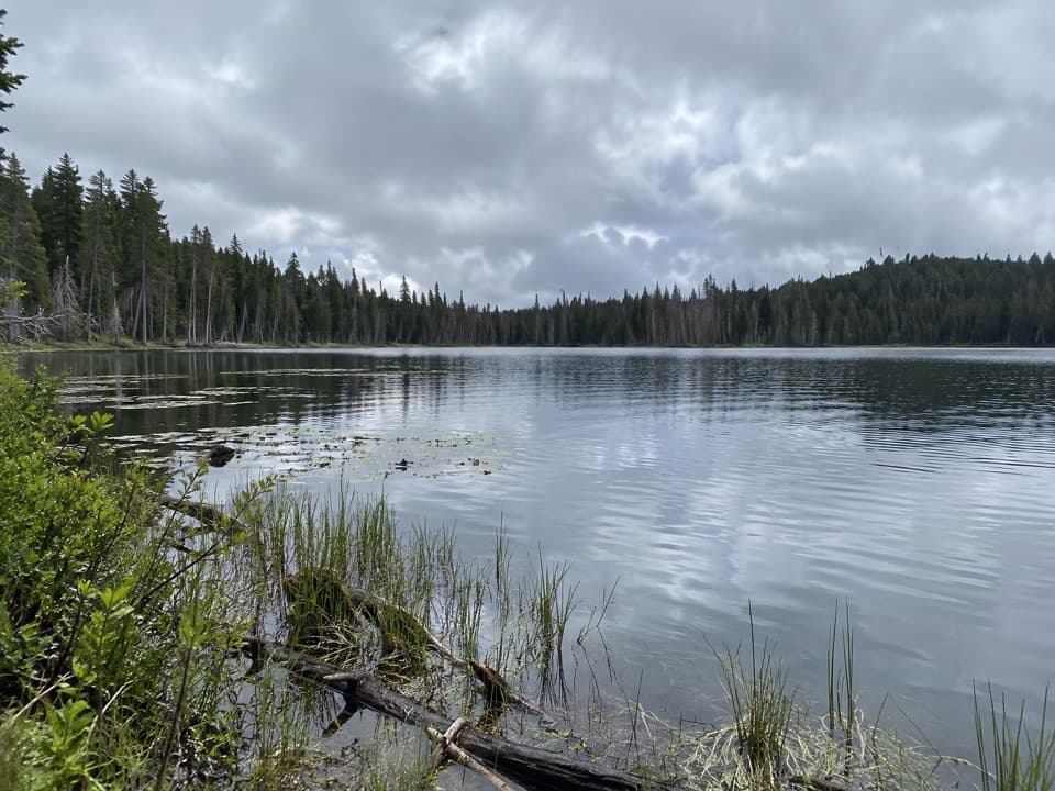
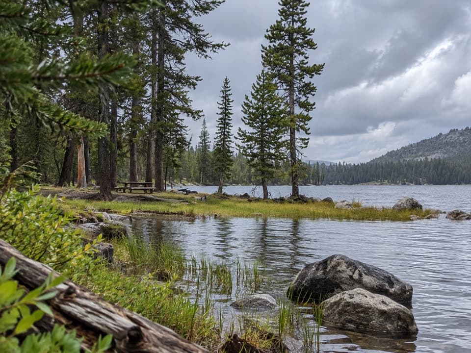
A lakeside circuit has a short detour to its namesake lake.

Length
2.1mi
Time
1.5hr
Elev. change
240ft
Difficulty
Moderate
  • Loop
  • No dogs
  • High point 6,247 ft
  • #22 of 59 in Lassen Volcanic

Hear the audio tour

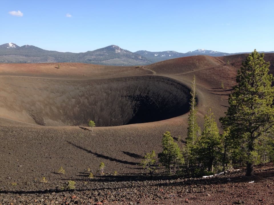
Butte Lake and Cinder Cone

Overview

About Bathtub Lake Loop

Why go

  • Three lakes on one compact circuit
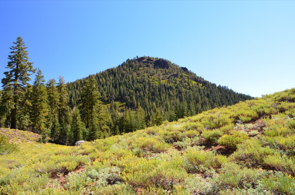
  • Volcanic cinders and open-forest scenery

Heads up

  • Mostly sun-exposed
  • First Butte Creek crossing is unbridged

Map & elevation

The route

Loading the Lassen Volcanic map
Full map
Elevation6,007–6,247 ft
TrailheadBathtub Lake Trailhead, Butte Lake Day Use Area40.56497, -121.30086
Keep this map with you offline in the Parkwolf app

Plan your hike

Before you go

Parking

Start at Bathtub Lake Trailhead in Butte Lake Day Use Area. The access road is six miles of dirt and gravel from Highway 44 and closes in winter and spring. An entrance-fee receipt or park pass is required. Parking, picnic tables/grills and restrooms are available; RV/trailer parking is limited, and water and flush toilets depend on campground and water-system operation.

Best time to go

Open forest and cinder tread give the circuit a volcanic feel without adding a long climb. Wildflowers have been reported in late June and early July. Butte Lake access is seasonal, generally May through November; the approach road closes in winter and spring. Pets are not allowed on park hiking trails.

Safety

Mostly sun-exposed. The first Butte Creek crossing is unbridged; assess water and footing before crossing, and turn back if it is unsafe. Pets are prohibited on park hiking trails.

1 active Lassen Volcanic alert

  • ClosureJuniper Lake campground and day-use area closedJuniper Lake Campground and day-use area are closed for maintenance and campground-improvement projects. - Potable water is unavailable in the campground.Official details
Lassen Volcanic alerts
A park ranger sits on a dash-mounted phone, talking, as Parkwolf’s Tour Guide plays “Army Cutworm Moths: A Grizzly Bear Buffet” on Grand Loop Road below Dunraven Pass in Yellowstone
Parkwolf Tour GuideThe highest, rockiest slopes around here are a summer buffet for grizzly bears.

Lassen Volcanic Tour Guide

Your drive to Bathtub Lake Loop, narrated.

Parkwolf is a GPS audio tour guide for Lassen Volcanic National Park. As you drive, it chimes in with what’s ahead: hidden gems, upcoming stops, history, geology, and wildlife, right through your car’s speakers.

See the Lassen Volcanic audio tour

Recorded for this trailhead

Butte Lake and Cinder Cone
0:00 / 0:35
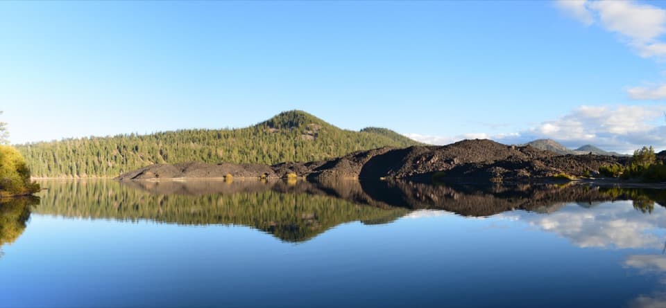
“You're nearing Butte Lake, where blue water meets rough black lava. Stop for a picnic, a swim, or a paddle in a canoe or kayak; motorboats aren't allowed.”

Plays as you drive up to this trailhead in the Parkwolf Lassen Volcanic Tour Guide.

More stories near here in the app

  • Lava That Built a Mountain
  • 45 audio storiesacross Lassen Volcanic’s roads, triggered by GPS as you drive
  • Wildlife heatmapsfor Black Bear, Bald Eagle, Mule Deer, and 13 more
  • Works offlinemaps, 59 trails, 56 places, and audio download before you lose signal
  • CarPlay readysimple controls built for the drive
★★★★★
“Fantastic app with many points of information… It’s great to just turn on while you’re driving and it gives you an audio tour of the national Park. We love it!!!!”
JMJamesApp Store review
Download Parkwolf on the App StoreGet Parkwolf on Google Play

4.7 from 8,600+ ratings

Trail guide

Hiking Bathtub Lake Loop

A short lake circuitBathtub Lake Loop is a moderate, roughly 2.1-mile circuit from Butte Lake Day Use Area.

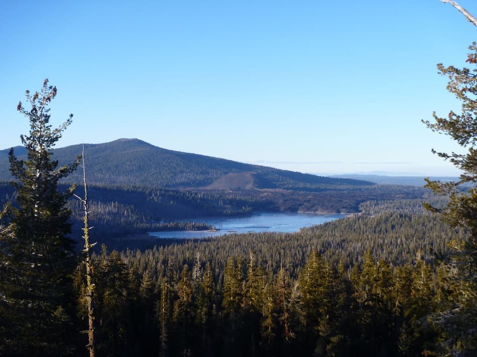
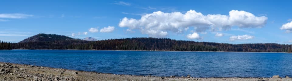
Bathtub Lake Loop is a moderate, roughly 2.1-mile circuit from Butte Lake Day Use Area. It skirts Butte Lake, crosses Butte Creek twice, and offers a short spur to its namesake lake; Little Lake lies on the circuit. Allow about 1–2 hours. Published totals range from 2.0 to 2.4 miles; this mapped distance follows the main circuit, while the spur to Bathtub Lake adds a little more. The route has a climb and about 350–400 feet of reported gain; the payoff is a compact chain of lake and creek scenery.

Crossings and treadThe lake-side stretch is mostly level before the path climbs through open forest and volcanic…

The lake-side stretch is mostly level before the path climbs through open forest and volcanic cinders. It then drops about 150 feet to the first Butte Creek crossing, which is unbridged. Check the footing and water before stepping across; turn back if the crossing is unsafe. After the Widow Lake junction, the loop follows the creek for roughly half a mile to a second crossing on a bridge. The return is flatter. Most of the route is exposed to sun.

Find the namesake lakeThe maintained loop passes an inconspicuous turn for Bathtub Lake.

The maintained loop passes an inconspicuous turn for Bathtub Lake. Take the short spur and retrace it to the junction; otherwise it is easy to walk past the named lake. Little Lake lies about a tenth of a mile farther along the loop and is more obvious, so it can be mistaken for Bathtub Lake when following directions.

Getting to the startStart at Bathtub Lake Trailhead in Butte Lake Day Use Area, reached by a six-mile…

Start at Bathtub Lake Trailhead in Butte Lake Day Use Area, reached by a six-mile dirt-and-gravel road off Highway 44. An entrance-fee receipt or park pass is required. The area has parking, picnic tables and grills, and restrooms. Drinking water and flush toilets depend on the adjacent campground being open and the water system running; RV and trailer parking is limited. There is no food service at the day-use area.

Wildlife

Wildlife in Lassen Volcanic

All Lassen Volcanic wildlife maps

Sighting maps show where each species has been reported across Lassen Volcanic. Wildlife moves, so no sighting is guaranteed.

Keep exploring

Near Bathtub Lake Loop

See it all on the map

Trails that start nearby

Places near the trailhead

Parkwolf’s Lassen Volcanic ranking

Top-rated trails in Lassen Volcanic

All 59 trails
  1. 1Lassen Peak TrailChallenging · 5 mi
  2. 2Cinder Cone TrailChallenging · 4 mi
  3. 3Bumpass Hell TrailModerate · 3 mi
  4. 4Brokeoff Mountain TrailChallenging · 7.4 mi
  5. 5Kings Creek Falls TrailModerate · 2.8 mi
  6. 6Manzanita Lake LoopEasy · 1.8 mi

Take Parkwolf to Lassen Volcanic.

The audio tour guide for the drive, plus offline maps, trails, and wildlife heatmaps for when the signal drops.

4.7 from 8,600+ ratings

Download Parkwolf on the App StoreGet Parkwolf on Google Play