Pros & cons
PROS
- Short, easy loop with excellent eruption signage and audio
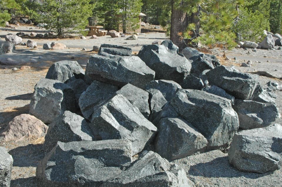
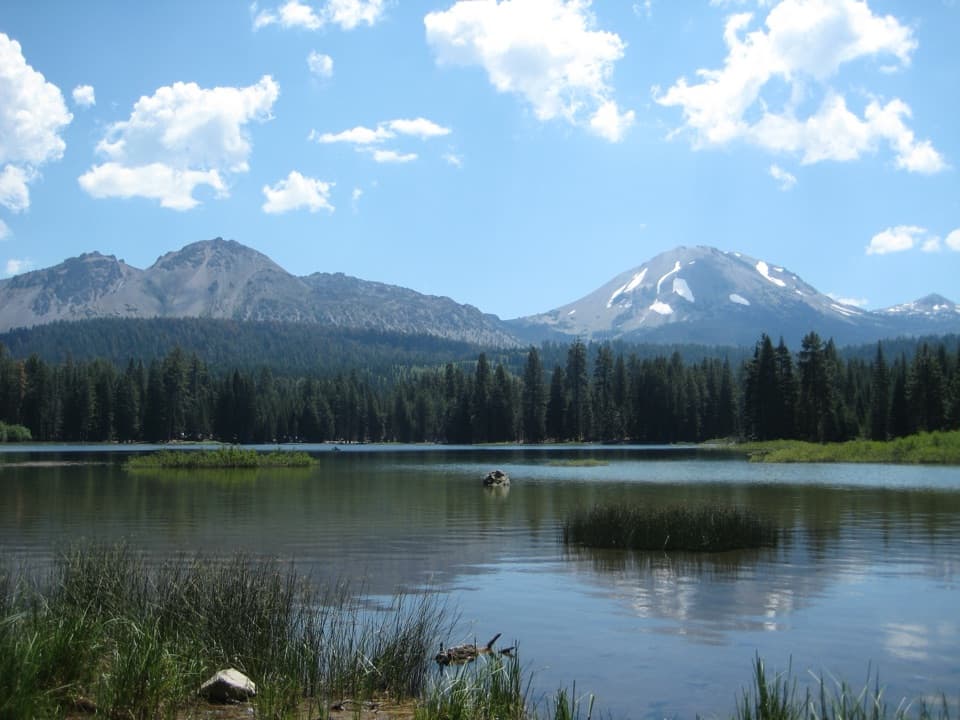
- Clear Lassen Peak views and huge eruption boulders
- Convenient stop with parking, restrooms, and picnic tables
CONS
- Very short; more a stroll than a hike
- Mosquitoes can be pesky in warm months
- Closed by snow in winter and often into spring
Overview
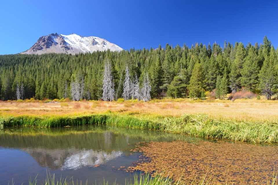
This quick interpretive loop walks you through the aftermath of Lassen Peak’s 1915 blowout. In 15–30 minutes you’ll wander past house‑sized boulders flung down the peak’s northeast flank, with the mountain itself filling the skyline. Panels (with push‑button audio) unpack what happened here and why it matters.
What You’ll See
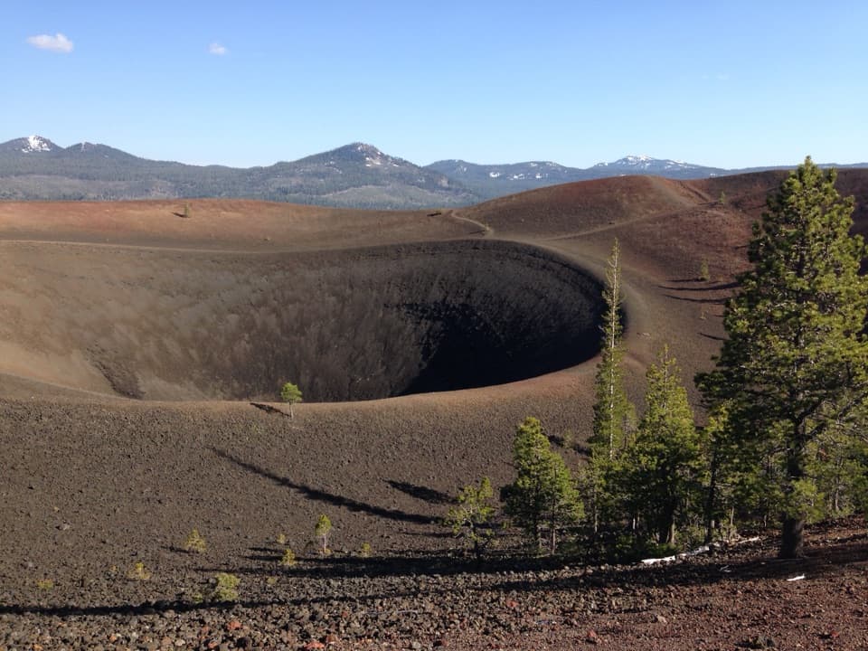
- A level loop across hard‑packed decomposed granite, dotted with massive volcanic boulders and clear views of Lassen Peak.
- Wayside exhibits that explain the 1915 eruption, debris flows, and rock types—complete with historic photos and audio narration.
- A setting that looks surprisingly recovered today, making the story behind the landscape even more striking.
Quick Facts
- Distance/time: 0.2–0.5‑mile loop; plan 15–30 minutes.
- Elevation: ~6,446 feet.
- Facilities: paved parking, vault toilets, picnic tables, trash/recycling.
- Location: along the park highway on the north side, about 10 miles from the Northwest Entrance.
Geology Snapshot
Lassen reawakened in 1914; the big May 22, 1915 explosion lofted a giant ash cloud and sent avalanches and mudflows roaring down this side of the mountain. The “Devastated Area” is the scar left by that event—today interpreted by excellent signage and rock displays.
Season & Conditions
The park road here typically opens around June and closes again when winter returns (often November–May). Snow can linger on the loop into June. Expect strong sun at 6,400+ feet and bring water.
Best Time to Visit
Morning or late afternoon gives softer light on the peak (and fewer mosquitoes). Summer weekends see steady turnover, but this is a fast stop. If you’re around near dusk, the broader area is known for dark skies—worth planning layers for the chill.
Is It Worth It?
Yes—especially if you’re curious about Lassen’s eruption story or traveling with mixed abilities and ages. It’s more of an educational stroll than a hike, so pair it with other north‑side stops like nearby lakes or viewpoints to round out your day.
Where it is
40.5158, -121.4650Tips for Devastated Area
- 01Hit the loop early or late for better light and fewer mosquitoes.
- 02Press the audio buttons at each panel—the narration adds great context.
- 03Check the park road status before you go in spring and fall.
- 04Pack sun protection and water; high elevation makes the sun feel stronger.
- 05Pair this with nearby north‑side stops to make a fuller outing.
Amenities
Near Devastated Area
All places →All trails →
0 mi awayHot RockA quick roadside viewpoint on the park’s 34‑mile scenic drivePullout · Parking
0.4 mi awayParadise Meadows TrailShaded creekside climb to a wildflower meadow with peak viewsModerate · 2.8 mi · 1.5 hr
0.4 mi awayParadise MeadowsWildflower meadow reached by a shady creek with small waterfallsScenic Viewpoint
2.3 mi awaySummit Lake Ranger StationSmall ranger outpost steps from Summit Lake and trailheadsRanger Station · Restroom
2.3 mi awayRainbow Lake TrailString-of-lakes walk to a quiet basin with Lassen Peak viewsModerate · 10.2 mi · 4.3 hr
2.3 mi awayCluster Lakes TrailLake-hopping loop with swims, solitude, and postfire viewsModerate · 10.8 mi · 6.5 hr
2.3 mi awaySummit Lake to Cluster/Twin Lakes LoopLake-hopping loop with great swim stops and long, sunny burn stretches.Challenging · 10.8 mi · 6.5 hr
2.6 mi awayTerrace LakeEmerald alpine pool a short, shady walk from the road