Parking
Use the Devastated Area parking area, off Lassen Volcanic National Park Highway about ten miles from the Northwest Entrance. The trail starts near the middle of the lot; restrooms and picnic tables are at the access.
Lassen Volcanic National Park, CA
A quick accessible loop among the rocks left by Lassen's 1915 eruption.
Overview
Map & elevation
Plan your hike

The highest, rockiest slopes around here are a summer buffet for grizzly bears.
Lassen Volcanic Tour Guide
Parkwolf is a GPS audio tour guide for Lassen Volcanic National Park. As you drive, it chimes in with what’s ahead: hidden gems, upcoming stops, history, geology, and wildlife, right through your car’s speakers.
See the Lassen Volcanic audio tourRecorded for this trailhead
Devastated Area: The Rocks and the Escape“Devastated Area is ahead, a short stop where volcanic boulders tell the story of Lassen's nineteen fifteen eruptions.”
Plays as you drive up to this trailhead in the Parkwolf Lassen Volcanic Tour Guide.
More stories near here in the app
“Fantastic app with many points of information… It’s great to just turn on while you’re driving and it gives you an audio tour of the national Park. We love it!!!!”


Trail guide
Devastated Area Interpretive Trail is a short loop from the parking area into the rocks left by Lassen Peak's 1915–16 eruptions. The complete circuit from the middle of the lot measures about 0.26 mile; published figures range from 0.2 to 0.3 mile. Allow 15–25 minutes if you stop at the signs. The hard-packed decomposed-granite path is about six feet wide with a gentle grade; the Park Service describes it as passable by wheelchair. This is a quick self-guided geology stop, not the route to Lassen Peak's summit.
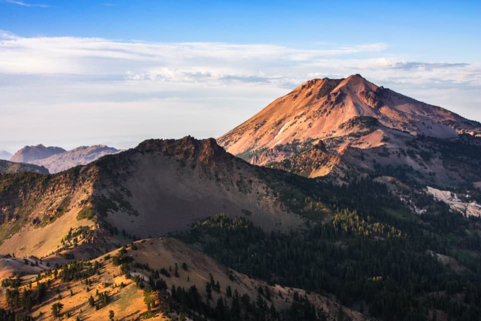
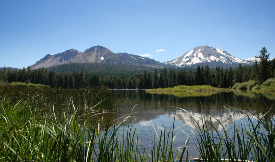
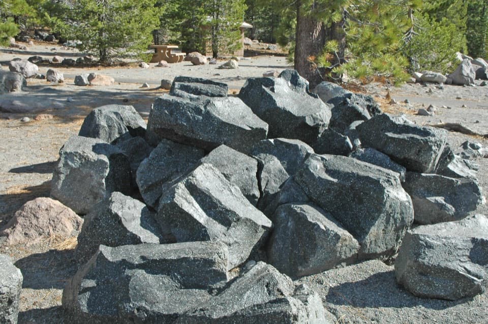
A short access path leads to the fork; follow either direction around the circuit, then return along the same connector. Wayside signs and push-button audio explain how the eruptions shaped the rocks around you. On May 19, 1915, a hot rock avalanche melted summit snow and sent a mud-and-rock flow, with broken trees and boulders, down the slope. Large dacite blocks are the clearest reminders of that force. Pines have grown back, so expect deposits among forest rather than an entirely barren field. At the openings, frame a boulder in the foreground with Lassen Peak and its southeast slope behind it.
The trail begins in the Devastated Area parking area, about ten miles from the Northwest Entrance. Restrooms and picnic tables are at the start. Pets are not allowed on park trails, even in carriers; service animals assisting people with disabilities are excepted. There is no separate fee for the walk, but park admission or a valid pass is required. Vehicle access follows the park highway's snow season: this section commonly closes in winter and early spring, roughly December through May, and snow can linger on the path into June. Plan around the approximate June–October walk season and check road access before setting out.
Wildlife
 103 sightingsBlack BearMost seen around 7 PMSighting map
 44 sightingsBald EagleMost seen around 7 AMSighting map
 348 sightingsMule DeerMost seen around 7 PMSighting map
 17 sightingsSandhill CraneMost seen around 6 AMSighting map
 47 sightingsGreat Blue HeronMost seen around 7 AMSighting map
 12 sightingsGreat EgretMost seen around 7 AMSighting map
Sighting maps show where each species has been reported across Lassen Volcanic. Wildlife moves, so no sighting is guaranteed.
Keep exploring
 ModerateNobles Emigrant Trail: Hat Lake to Butte Lake13 mi · 5.5 hr · 0.4 mi awayA historic forest traverse opens onto Cinder Cone’s volcanic landscape.
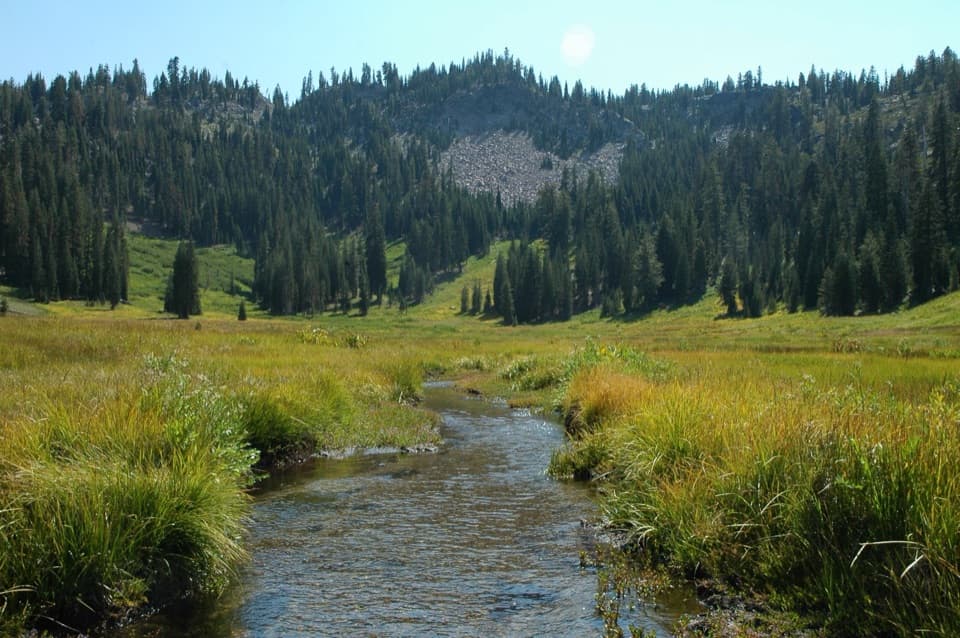 ChallengingHat Creek Headwaters Trail6.1 mi · 5 hr · 0.5 mi awayA shuttle hike from creekside falls to meadow and lake country.ModerateHat Lake to Paradise Meadows Trail2.8 mi · 2 hr · 0.5 mi awayA shaded creek climb to a meadow beneath Lassen’s rocky cliffs.
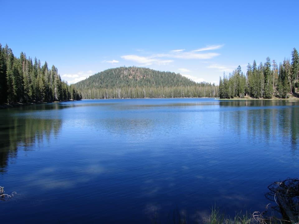 ChallengingCluster Lakes Loop11.9 mi · 7 hr · 2.3 mi awayEight lakes, volcanic views, and a stretch that demands route finding.ModerateUpper and Lower Twin Lakes Trail8.8 mi · 4.8 hr · 2.3 mi awayA ridge climb links Echo Lake with two forested Twin Lakes
 ChallengingGrassy Swale Loop13.4 mi · 9 hr · 2.3 mi awayA long high-country loop through Grassy Swale and the Twin Lakes.
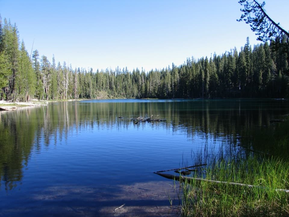 ModerateEcho Lake Trail4.4 mi · 2.5 hr · 2.4 mi awayA meadow boardwalk, Lassen Peak views and a blue-green lake.
 EasySummit Lake Loop0.8 mi · 30 min · 2.6 mi awayA short lake loop with Lassen Peak across the water.
 Sight · At the trailheadDevastated AreaA short accessible loop through Lassen’s 1915 eruption story.
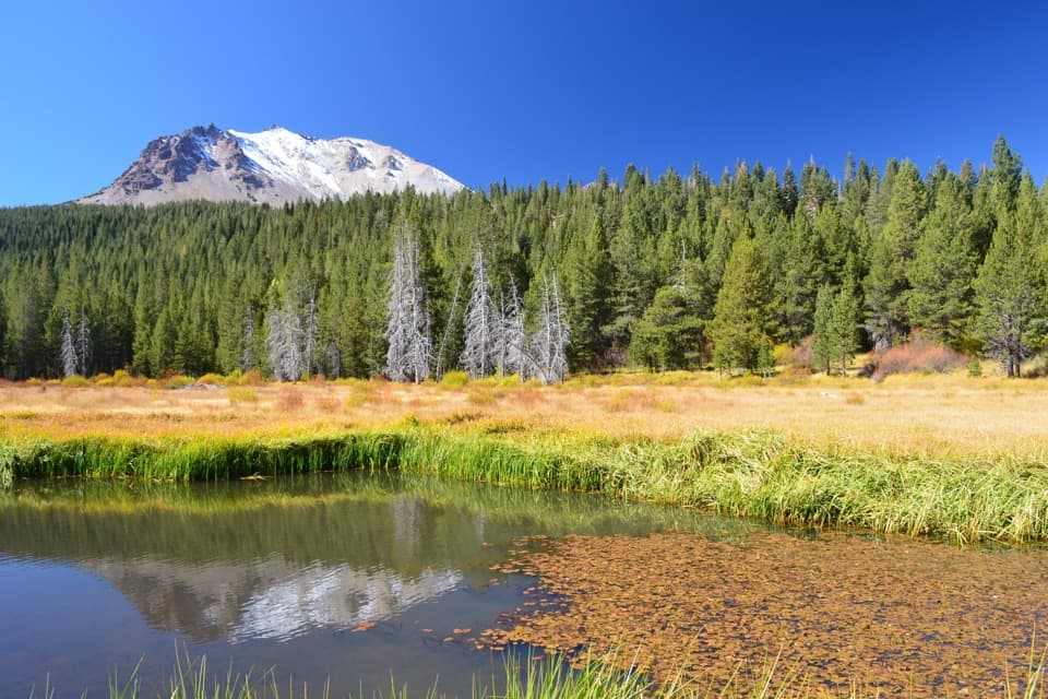 Scenic pullout · 0.5 mi awayHat Creek ViewpointA former lake is becoming meadow, still fed by spring water.Sight · 1.7 mi awayParadise MeadowsA stream threads a high meadow beneath a rocky glacial bowl.
 Sight · 1.9 mi awayHot RockA mudflow carried this boulder down Lassen Peak in 1915.
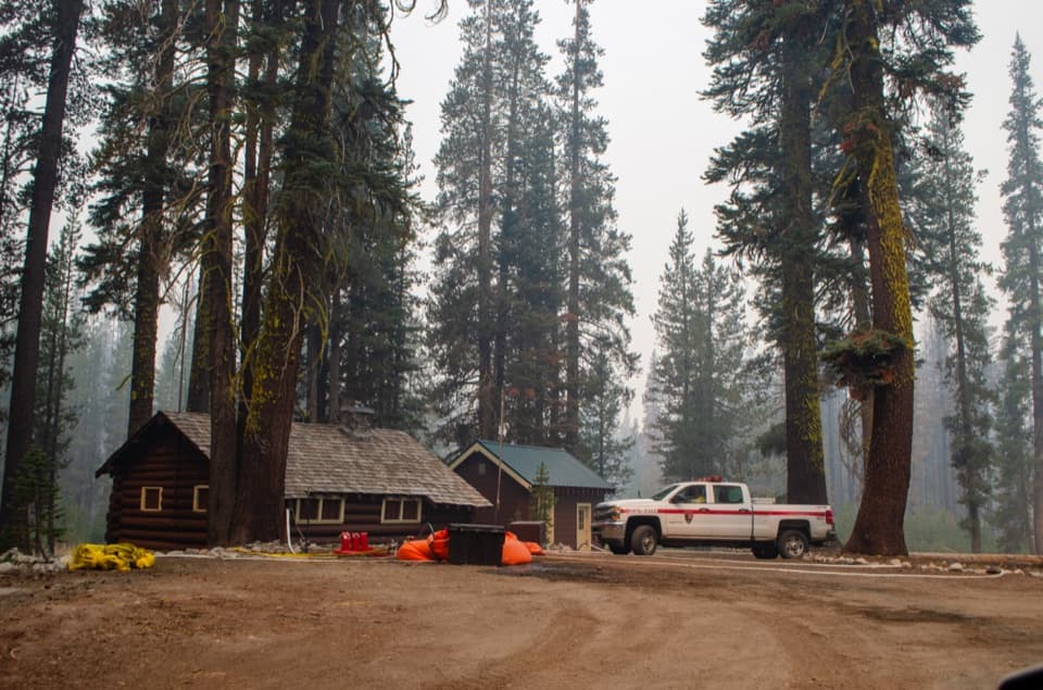 Sight · 2.3 mi awaySummit Lake Ranger StationA 1926 log cabin at the start of the Echo Lake hike.
 Campground · 2.6 mi awaySummit Lake North CampgroundHigh-country camping with Summit Lake and hikes close at hand.
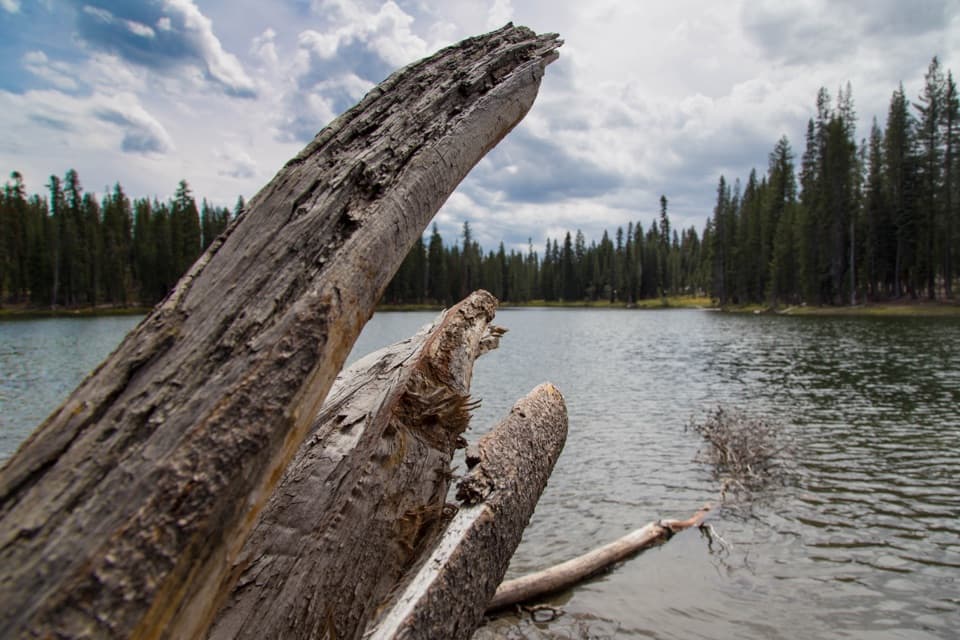 Sight · 2.6 mi awaySummit LakeA lake break with better swimming on the north shore.
 Campground · 2.8 mi awaySummit Lake South CampgroundA short lake walk and dark skies define this tent campground.
Parkwolf’s Lassen Volcanic ranking

The audio tour guide for the drive, plus offline maps, trails, and wildlife heatmaps for when the signal drops.