Parking
Use the Summit Lake Ranger Station/Trailhead access. Parking is limited.
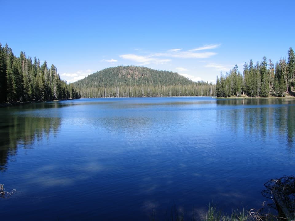
Lassen Volcanic National Park, CA
Eight lakes, volcanic views, and a stretch that demands route finding.
Overview
Map & elevation
Plan your hike

The highest, rockiest slopes around here are a summer buffet for grizzly bears.
Lassen Volcanic Tour Guide
Parkwolf is a GPS audio tour guide for Lassen Volcanic National Park. As you drive, it chimes in with what’s ahead: hidden gems, upcoming stops, history, geology, and wildlife, right through your car’s speakers.
See the Lassen Volcanic audio tourRecorded for this trailhead
Summit Lake Trailhead: The Echo Lake Walk“You’re approaching the Summit Lake Ranger Station trailhead, the start of the Echo Lake hike.”
Plays as you drive up to this trailhead in the Parkwolf Lassen Volcanic Tour Guide.
More stories near here in the app
“Fantastic app with many points of information… It’s great to just turn on while you’re driving and it gives you an audio tour of the national Park. We love it!!!!”


Trail guide
Cluster Lakes Loop is an 11.9-mile circuit from Summit Lake Ranger Station through a string of high lakes and back. It is a long, rocky forest hike with steady ups and downs rather than a flat lakeside walk. Allow about seven hours for the full line, lake stops and the route-finding section. The park's older route description lists 10.8 miles and 6.5 hours; the complete connected map line measures just under 12 miles, consistent with an independent GPS track. Plan for the longer day.
This is a good choice when you want a full day moving between lakes, not one dramatic summit payoff. The early views of Lassen Peak and Crescent Crater are a strong start, then the scenery shifts between open volcanic slopes, forested shores and the Twin Lakes basin.
Begin at the Summit Lake Ranger Station/Trailhead. The route starts on a boardwalk near the station and follows the east side of Summit Lake. At the Corral Meadows Trail junction, turn left; about a mile later, take the left fork toward Little Bear Lake. The first rise crosses open forest and pinemat manzanita, with Lassen Peak and Crescent Crater in view. Hat Mountain, a nearby cinder cone made of andesitic lava flows, is another landmark on this stretch.
The trail keeps gaining and losing elevation over its length. Expect rocky tread and a mix of open and shaded sections, not a steady climb with one easy finish. If you're choosing a shorter walk, the separate Echo Lake out-and-back is about four miles round trip; it reaches one of the loop's best lake stops without committing to the full circuit.
Little Bear and Big Bear lead to Silver Lake, then Feather Lake. Big Bear and Silver have forested shorelines and established backcountry campsites. At Silver, calm early-morning water can reflect the surrounding mountains. Save a few minutes at the shore instead of treating it as a junction to hurry past.
The lakes also make the route feel like more than a mileage challenge: you pass from small alpine water to wooded shoreline, with volcanic slopes visible between the trees. Later summer is the better season for wildflowers, swimming and fishing. Earlier in the season, mosquitoes can be abundant around nearly every lake.
From Silver Lake the route continues by Feather Lake and southeast toward Lower Twin Lake, briefly sharing tread with the Pacific Crest Trail. The park warns that navigation is necessary for about 2.5 miles between Silver and Lower Twin. Carry an offline copy of the complete route and stay deliberate through this section; a faint line on the ground may not make the next turn obvious. Fire-affected sections can also have standing dead trees that fall without warning.
At Lower Twin, follow the signs toward Upper Twin rather than staying on the Pacific Crest Trail. The walk between the lakes is gentler before a short, steep climb leaves the valley. A long narrow pond comes before Echo Lake's eastern shore, the last named lake on the circuit. From there the loop returns to Summit Lake.
Red mountain heather, primrose monkeyflower and tobacco brush grow along the later stretch. The park also identifies the lakes as places for swimming and fishing in later summer. For an overnight version, wilderness permits are required. Pets are prohibited on park hiking trails.
Wildlife
 103 sightingsBlack BearMost seen around 7 PMSighting map
 44 sightingsBald EagleMost seen around 7 AMSighting map
 348 sightingsMule DeerMost seen around 7 PMSighting map
 17 sightingsSandhill CraneMost seen around 6 AMSighting map
 47 sightingsGreat Blue HeronMost seen around 7 AMSighting map
 12 sightingsGreat EgretMost seen around 7 AMSighting map
Sighting maps show where each species has been reported across Lassen Volcanic. Wildlife moves, so no sighting is guaranteed.
Keep exploring
ModerateUpper and Lower Twin Lakes Trail8.8 mi · 4.8 hr · At the trailheadA ridge climb links Echo Lake with two forested Twin Lakes ChallengingGrassy Swale Loop13.4 mi · 9 hr · At the trailheadA long high-country loop through Grassy Swale and the Twin Lakes.
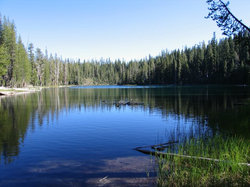 ModerateEcho Lake Trail4.4 mi · 2.5 hr · 0.1 mi awayA meadow boardwalk, Lassen Peak views and a blue-green lake.
 EasySummit Lake Loop0.8 mi · 30 min · 0.3 mi awayA short lake loop with Lassen Peak across the water.
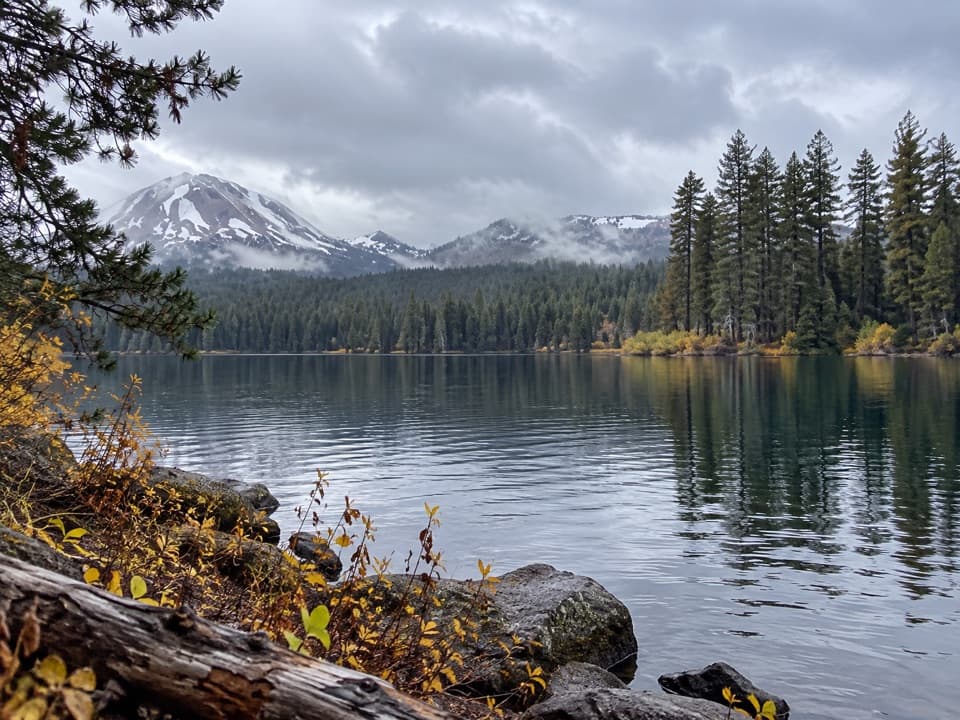 ChallengingSummit Lake, Corral Meadow and Bench Lake Loop10.1 mi · 5.5 hr · 0.7 mi awayA long, high-country loop links Corral Meadow, Kings Creek and Bench Lake.
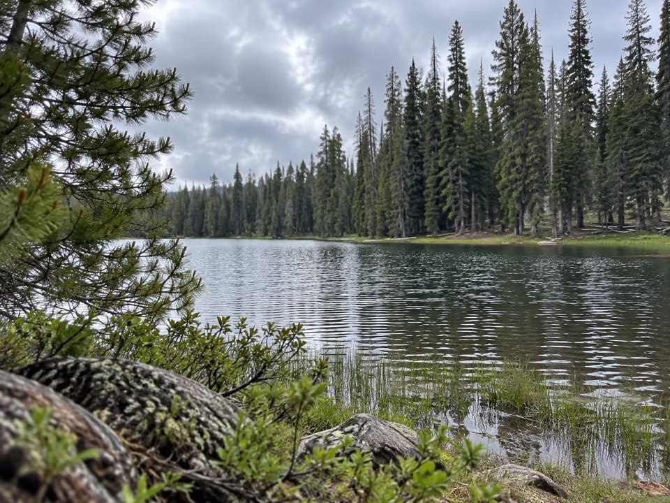 ModerateSummit Lake South to Kings Creek Trail Connector1.7 mi · 1.3 hr · 0.7 mi awayA meadow connector descends from Summit Lake South to Kings Creek.
 ModerateNobles Emigrant Trail: Hat Lake to Butte Lake13 mi · 5.5 hr · 2 mi awayA historic forest traverse opens onto Cinder Cone’s volcanic landscape.
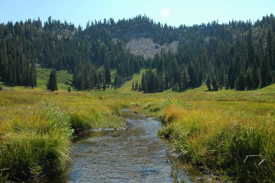 ModerateHat Lake to Paradise Meadows Trail2.8 mi · 2 hr · 2.1 mi awayA shaded creek climb to a meadow beneath Lassen’s rocky cliffs.
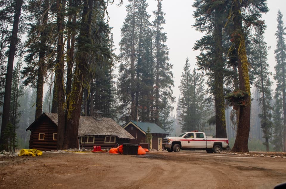 Sight · At the trailheadSummit Lake Ranger StationA 1926 log cabin at the start of the Echo Lake hike.
 Campground · 0.3 mi awaySummit Lake North CampgroundHigh-country camping with Summit Lake and hikes close at hand.
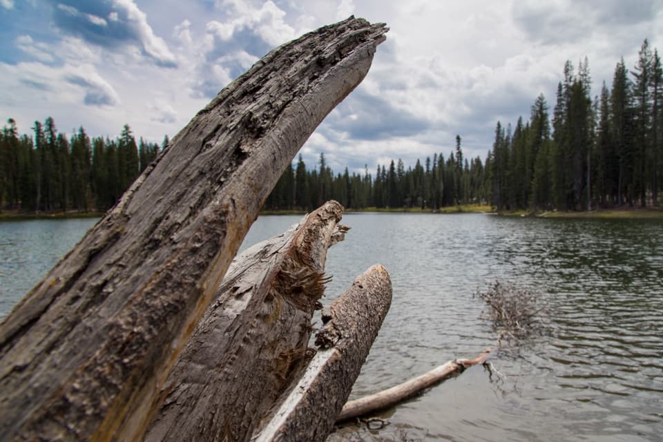 Sight · 0.4 mi awaySummit LakeA lake break with better swimming on the north shore.
 Campground · 0.6 mi awaySummit Lake South CampgroundA short lake walk and dark skies define this tent campground.Sight · 2.1 mi awayParadise MeadowsA stream threads a high meadow beneath a rocky glacial bowl.
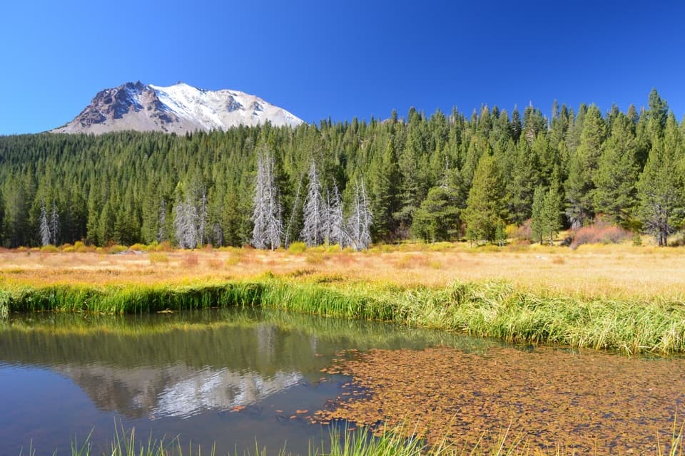 Scenic pullout · 2.1 mi awayHat Creek ViewpointA former lake is becoming meadow, still fed by spring water.
 Sight · 2.3 mi awayDevastated AreaA short accessible loop through Lassen’s 1915 eruption story.
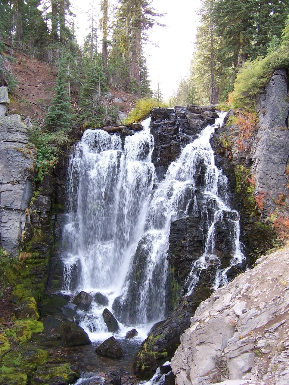 Sight · 2.7 mi awayKings Creek FallsThe creekside stone steps are half the payoff.
Parkwolf’s Lassen Volcanic ranking

The audio tour guide for the drive, plus offline maps, trails, and wildlife heatmaps for when the signal drops.




