Parking
Park at the Hat Lake parking area along the park road, then cross to the marked trailhead by the lake. Parking is limited.
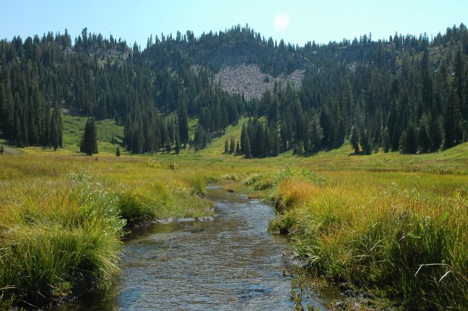
#10 of 59 trails in Lassen Volcanic
Lassen Volcanic National Park, CA
A shaded creek climb to a meadow beneath Lassen’s rocky cliffs.
Overview
Map & elevation
Plan your hike

The highest, rockiest slopes around here are a summer buffet for grizzly bears.
Lassen Volcanic Tour Guide
Parkwolf is a GPS audio tour guide for Lassen Volcanic National Park. As you drive, it chimes in with what’s ahead: hidden gems, upcoming stops, history, geology, and wildlife, right through your car’s speakers.
See the Lassen Volcanic audio tourRecorded for this trailhead
Hat Creek: Where Hat Lake Became Meadow“Hat Creek Viewpoint is ahead, an easy roadside look at the meadow that used to be Hat Lake. Lassen Peak’s eruptions dammed the creek to form the lake, and beavers kept it going for decades.”
Plays as you drive up to this trailhead in the Parkwolf Lassen Volcanic Tour Guide.
More stories near here in the app
“Fantastic app with many points of information… It’s great to just turn on while you’re driving and it gives you an audio tour of the national Park. We love it!!!!”


Trail guide
This 2.8-mile out-and-back runs from Hat Lake to the edge of Paradise Meadows. It climbs through shaded conifer forest, drops into a creek ravine, then reaches an open meadow ringed by rock. Allow about two hours. It is a moderate hike with roughly 600–700 feet of elevation change, depending on the route estimate; the steepest push comes after the ravine, so it feels harder than the mileage suggests. I’d pick it for the meadow, cascades and flowers, not as a lakeshore stroll.
Park at Hat Lake, then cross the park road to the marked trailhead by the lake. Spaces are limited and potable water isn’t available at the trailhead. Short side paths at the start reach the shore for a view of Lassen Peak’s south face. The main trail leaves the lake behind quickly. Its first half-mile climbs gently on sandy tread through mostly shaded forest, with mountain hemlock, a large boulder and occasional glimpses of Lassen through the trees.
After about half a mile, the path drops into a narrow ravine beside a tributary of West Fork Hat Creek. Cross two small wooden bridges, then climb the steeper, rockier section. Footing can loosen here; trekking poles help with stability. The sound of rushing water leads to a tumbling fall as the forest opens, followed by smaller cascades nearer the junction. One of the falls is a rougher off-path approach; you don’t need to leave the trail to get the walk’s main payoff.
At the junction, the longer route across the footbridge continues toward Terrace Lake. This hike takes the roughly 0.1-mile spur to Paradise Meadows and turns around at its edge; wandering farther into the grasses isn’t part of the mapped 2.8 miles. The meadow opens into a rocky basin with a winding stream, thick grasses and paintbrush, clover, lupine and gentian. Mount Conard and Lassen Peak show above the surrounding cliffs. Give yourself a little time here before retracing the same trail.
The meadow’s plants shift with the season. Recorded walks have found columbine, Jacob’s-ladder, monkeyflowers, alpine asters, penstemon and pinemat manzanita along with the meadow flowers; a late-summer visit still found blooms, but timing varies with snowmelt. The bowl-shaped setting is a glacial cirque, with talus below the cliffs and the stream winding through the grass. For a photo, use the creek in the foreground and keep the meadow and rocky rim in the frame.
Lassen trails emerge gradually as snow melts in late spring and summer, so the hiking season varies from year to year; check the current trail and road status before driving. The park prohibits pets on hiking trails, including in carriers; service animals are allowed. If you want a short stop instead of the climb, the Hat Lake side paths offer the lake-edge view of Lassen Peak without the walk to the meadow.
Wildlife
 103 sightingsBlack BearMost seen around 7 PMSighting map
 44 sightingsBald EagleMost seen around 7 AMSighting map
 348 sightingsMule DeerMost seen around 7 PMSighting map
 17 sightingsSandhill CraneMost seen around 6 AMSighting map
 47 sightingsGreat Blue HeronMost seen around 7 AMSighting map
 12 sightingsGreat EgretMost seen around 7 AMSighting map
Sighting maps show where each species has been reported across Lassen Volcanic. Wildlife moves, so no sighting is guaranteed.
Keep exploring
ChallengingHat Creek Headwaters Trail6.1 mi · 5 hr · At the trailheadA shuttle hike from creekside falls to meadow and lake country. ModerateNobles Emigrant Trail: Hat Lake to Butte Lake13 mi · 5.5 hr · 0.2 mi awayA historic forest traverse opens onto Cinder Cone’s volcanic landscape.
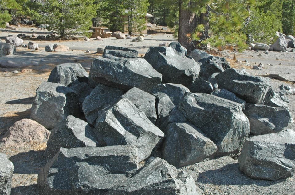 EasyDevastated Area Interpretive Trail0.3 mi · 20 min · 0.5 mi awayA quick accessible loop among the rocks left by Lassen's 1915 eruption.
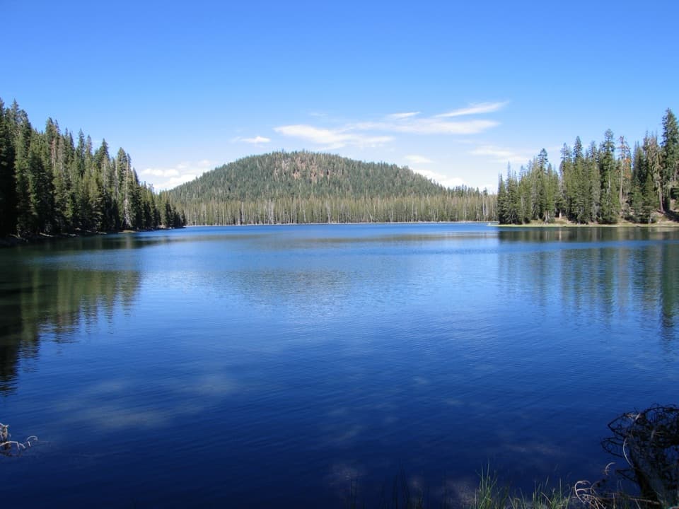 ChallengingCluster Lakes Loop11.9 mi · 7 hr · 2.1 mi awayEight lakes, volcanic views, and a stretch that demands route finding.ModerateUpper and Lower Twin Lakes Trail8.8 mi · 4.8 hr · 2.1 mi awayA ridge climb links Echo Lake with two forested Twin Lakes
 ChallengingGrassy Swale Loop13.4 mi · 9 hr · 2.1 mi awayA long high-country loop through Grassy Swale and the Twin Lakes.
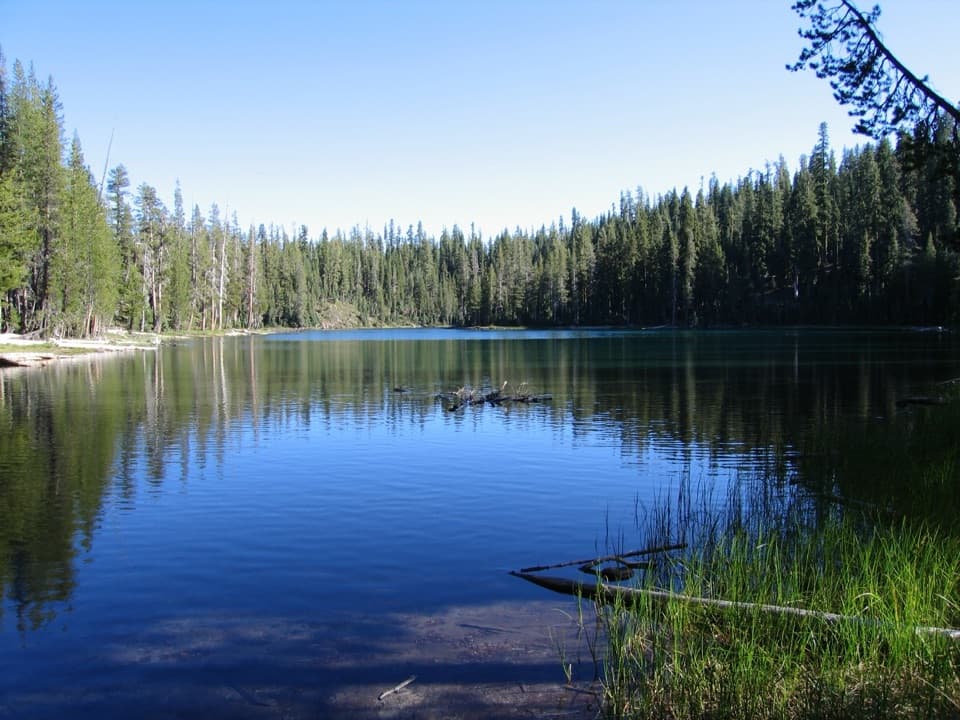 ModerateEcho Lake Trail4.4 mi · 2.5 hr · 2.2 mi awayA meadow boardwalk, Lassen Peak views and a blue-green lake.
 EasySummit Lake Loop0.8 mi · 30 min · 2.4 mi awayA short lake loop with Lassen Peak across the water.
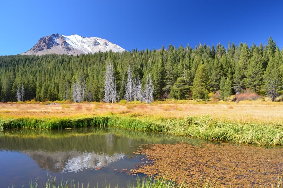 Scenic pullout · At the trailheadHat Creek ViewpointA former lake is becoming meadow, still fed by spring water.
 Sight · 0.4 mi awayDevastated AreaA short accessible loop through Lassen’s 1915 eruption story.Sight · 1.3 mi awayParadise MeadowsA stream threads a high meadow beneath a rocky glacial bowl.
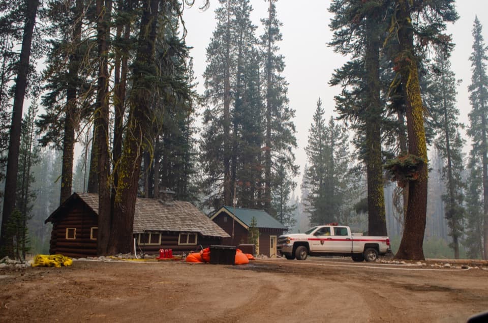 Sight · 2.1 mi awaySummit Lake Ranger StationA 1926 log cabin at the start of the Echo Lake hike.
 Sight · 2.2 mi awayHot RockA mudflow carried this boulder down Lassen Peak in 1915.
 Campground · 2.4 mi awaySummit Lake North CampgroundHigh-country camping with Summit Lake and hikes close at hand.
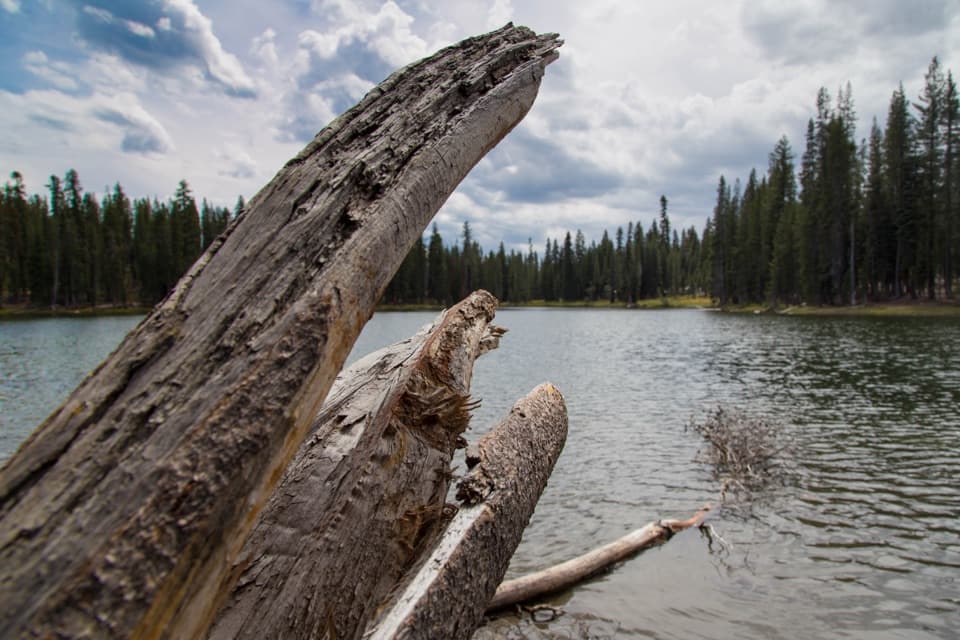 Sight · 2.4 mi awaySummit LakeA lake break with better swimming on the north shore.
 Campground · 2.5 mi awaySummit Lake South CampgroundA short lake walk and dark skies define this tent campground.
Parkwolf’s Lassen Volcanic ranking

The audio tour guide for the drive, plus offline maps, trails, and wildlife heatmaps for when the signal drops.




