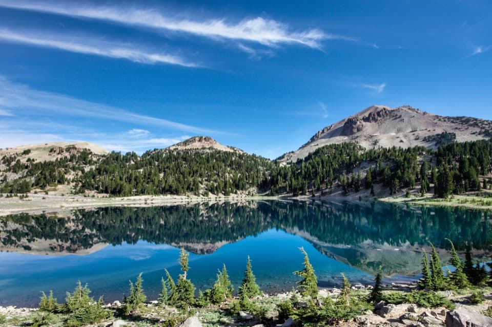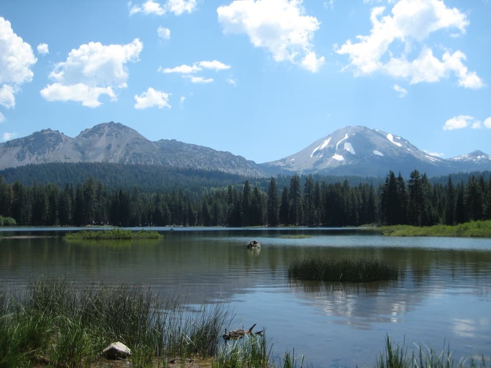
Hat Creek Viewpoint in Lassen Volcanic National Park

Scenic pullout · Lassen Volcanic National Park

Hat Creek Viewpoint

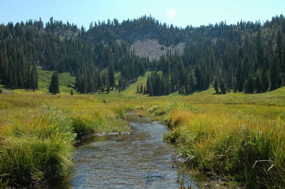
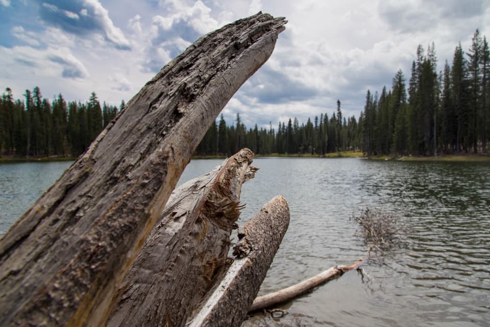
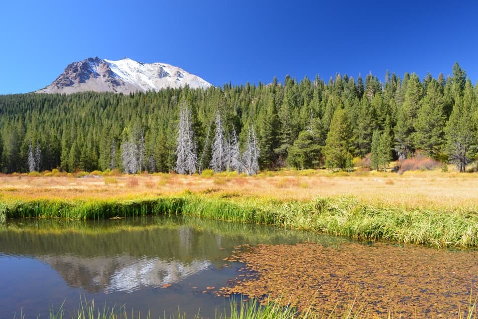
A former lake is becoming meadow, still fed by spring water.

Photo: National Park Service
Type
Scenic pullout
Nearest trail
Right here
Audio stories
4 nearby
  • Pullout
  • Parking
  • Scenic viewpoint
  • Trailhead

Hear the audio tour

Hat Creek: Where Hat Lake Became Meadow

Overview

About Hat Creek Viewpoint

Why stop

  • Lush summer greenery and autumn color from a quick roadside stop.

Heads up

  • Snow usually closes the through road in winter and early spring.

Map

Where it is

Loading the Lassen Volcanic map
Full map
Scenic pulloutHat Creek Viewpoint40.50941, -121.46584
Keep this map with you offline in the Parkwolf app

Plan your stop

Before you go

1 active Lassen Volcanic alert

  • ClosureJuniper Lake campground and day-use area closedJuniper Lake Campground and day-use area are closed for maintenance and campground-improvement projects. - Potable water is unavailable in the campground.Official details

Lassen Volcanic alerts
A park ranger sits on a dash-mounted phone, talking, as Parkwolf’s Tour Guide plays “Army Cutworm Moths: A Grizzly Bear Buffet” on Grand Loop Road below Dunraven Pass in Yellowstone
Parkwolf Tour GuideThe highest, rockiest slopes around here are a summer buffet for grizzly bears.

Lassen Volcanic Tour Guide

Your drive to Hat Creek Viewpoint, narrated.

Parkwolf is a GPS audio tour guide for Lassen Volcanic National Park. As you drive, it chimes in with what’s ahead: hidden gems, upcoming stops, history, geology, and wildlife, right through your car’s speakers.

See the Lassen Volcanic audio tour

Recorded for this place

Hat Creek: Where Hat Lake Became Meadow
0:00 / 0:29
“Hat Creek Viewpoint is ahead, an easy roadside look at the meadow that used to be Hat Lake. Lassen Peak’s eruptions dammed the creek to form the lake, and beavers kept it going for decades.”

Plays as you drive up to Hat Creek Viewpoint in the Parkwolf Lassen Volcanic Tour Guide.

More stories near here in the app

  • Devastated Area: The Rocks and the Escape
  • A Songbird Underwater
  • Check the Squirrel’s Face
  • Summit Lake Trailhead: The Echo Lake Walk
  • 45 audio storiesacross Lassen Volcanic’s roads, triggered by GPS as you drive
  • Wildlife heatmapsfor Black Bear, Bald Eagle, Mule Deer, and 13 more
  • Works offlinemaps, 59 trails, 56 places, and audio download before you lose signal
  • CarPlay readysimple controls built for the drive
★★★★★
“Fantastic app with many points of information… It’s great to just turn on while you’re driving and it gives you an audio tour of the national Park. We love it!!!!”
JMJamesApp Store review
Download Parkwolf on the App StoreGet Parkwolf on Google Play

4.7 from 8,600+ ratings

Guide

More about Hat Creek Viewpoint

A roadside stop for the old Hat Lake basinHat Creek Viewpoint is a roadside pullout on Lassen Volcanic National Park Highway, looking…

Hat Creek Viewpoint is a roadside pullout on Lassen Volcanic National Park Highway, looking across Hat Creek toward the spring-fed basin that once held Hat Lake. It’s an easy pause if you’re already driving the highway, especially in autumn, when the meadow is among the park’s most colorful foliage spots. In summer, the spring keeps it green. This is a view stop, not a walk across the basin.

How a lake became meadowEruptions of Lassen Peak dammed Hat Creek and formed Hat Lake.

Eruptions of Lassen Peak dammed Hat Creek and formed Hat Lake. American beavers maintained the lake for decades, then left for reasons that remain unknown. The year-round spring kept feeding the basin; now its water runs through the former lakebed as the ground slowly dries and meadow takes hold.

Watch the plants and the waterQuaking aspen and willow grow in wetter patches, while wildflowers and grasses are spreading…

Quaking aspen and willow grow in wetter patches, while wildflowers and grasses are spreading across the former lakebed. In fall, frame the creek and golden grasses with Lassen Peak above the conifers; summer brings a greener scene. Stay at the edges: there’s no trail through the meadow, and walking across it compacts soil and can damage roots.

Plan around the highwayAuto parking serves the viewpoint, and a park entrance fee or valid pass is required.

Auto parking serves the viewpoint, and a park entrance fee or valid pass is required. The highway usually closes for snow in winter and early spring, roughly December through May, though dates vary. Check road status before making this a seasonal stop.

Wildlife

Wildlife in Lassen Volcanic

All Lassen Volcanic wildlife maps

Sighting maps show where each species has been reported across Lassen Volcanic. Wildlife moves, so no sighting is guaranteed.

Keep exploring

Near Hat Creek Viewpoint

See it all on the map

Trails nearby

More stops nearby

Parkwolf’s Lassen Volcanic ranking

Top sights in Lassen Volcanic

All 56 places
  1. 1Bumpass HellSight
  2. 2Lassen PeakSight
  3. 3Sulphur WorksSight
  4. 4Cinder ConeSight
  5. 5Lake HelenSight
  6. 6Manzanita LakeSight

Take Parkwolf to Lassen Volcanic.

The audio tour guide for the drive, plus offline maps, trails, and wildlife heatmaps for when the signal drops.

4.7 from 8,600+ ratings

Download Parkwolf on the App StoreGet Parkwolf on Google Play