Parking
Use the Warner Valley Trailhead parking area. From Chester, follow Feather River Road to Warner Valley Road, continue past Warner Valley Campground toward Drakesbad, then turn off on the dirt road for the trailhead.

#7 of 59 trails in Lassen Volcanic
Lassen Volcanic National Park, CA
A meadow walk to a bubbling, steam-filled volcanic basin.
Overview
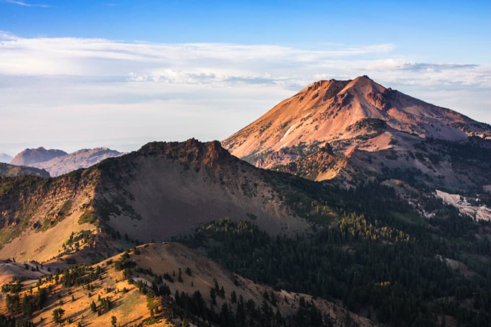
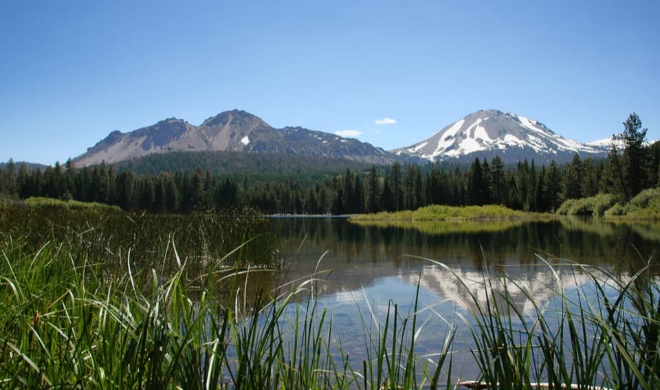
Devils Kitchen Trail is a 4.2-mile out-and-back from Warner Valley Trailhead to a short walking loop among boiling springs, mudpots and steam vents. It crosses meadows and woods before dropping into Lassen's second-largest hydrothermal area. The park calls it moderate and estimates about two hours; allow two to three hours if you want time to explore the basin. The geothermal features are the reason to come. Most of the walking is the approach, and you return the same way.
 Parkwolf’s verdictIs this the hike for you?
Map & elevation
Plan your hike

The highest, rockiest slopes around here are a summer buffet for grizzly bears.
Lassen Volcanic Tour Guide
Parkwolf is a GPS audio tour guide for Lassen Volcanic National Park. As you drive, it chimes in with what’s ahead: hidden gems, upcoming stops, history, geology, and wildlife, right through your car’s speakers.
See the Lassen Volcanic audio tourRecorded for this trailhead
Warner Valley and Drakesbad“You're coming up on the Warner Valley trailhead, a starting point for meadow walks and hydrothermal hikes.”
Plays as you drive up to this trailhead in the Parkwolf Lassen Volcanic Tour Guide.
More stories near here in the app
“Fantastic app with many points of information… It’s great to just turn on while you’re driving and it gives you an audio tour of the national Park. We love it!!!!”


Trail guide
The first 0.4 mile passes over small footbridges and boardwalks through meadow before crossing Hot Springs Creek. At the first junction, turn right for Devils Kitchen. Footbridges and boardwalks carry you through more marsh and woodland; at the Dream Lake Basin junction around 0.6 mile, keep right again. The wet ground is part of the walk, not a side trip.
The trail follows Hot Springs Creek toward a meadow, then climbs through forest and woodland. It isn't one steady uphill grind: expect a run of rises and dips, with two seasonal stream crossings before the final climb to the basin rim. At the third junction, turn right for the last 0.9 mile. The final 0.2 mile descends to a bridge over milky Hot Springs Creek. Remember that this is the turn that starts the return, so save a bit for the climb back out.
A short loop winds through the basin, where steam rises from vents and hot springs and mudpots make a steady plopping, hissing soundtrack. Look for the crackled yellow and red ground around the features. The basin's close-up details are the reward after the longer meadow-and-forest approach; take your time here instead of rushing straight back.
Rain and snowmelt seep deep underground and are heated by hot or molten rock beneath Lassen Peak. As that water rises, it boils and releases steam through fractures. Devils Kitchen is the park's second-largest hydrothermal area, and these vents are one visible sign that volcanic activity continues below Lassen. The colors and sounds at the surface come from a system still moving heat and water through the ground.
The pale ground can look solid while hiding a thin crust over acidic, boiling water or mud. Stay on the trail and boardwalk throughout the basin; the dangerous-looking part isn't always the one that looks soft. Pets aren't allowed on park hiking trails.
From Chester, take Feather River Road north to the Warner Valley and Juniper Lake fork, then follow Warner Valley Road toward Drakesbad. The final approach includes dirt road; continue past Warner Valley Campground to the trailhead parking turnoff. The trailhead is about 16 miles northwest of Chester. Check park conditions before driving over for current access information.
Wildlife
 103 sightingsBlack BearMost seen around 7 PMSighting map
 44 sightingsBald EagleMost seen around 7 AMSighting map
 348 sightingsMule DeerMost seen around 7 PMSighting map
 17 sightingsSandhill CraneMost seen around 6 AMSighting map
 47 sightingsGreat Blue HeronMost seen around 7 AMSighting map
 12 sightingsGreat EgretMost seen around 7 AMSighting map
Sighting maps show where each species has been reported across Lassen Volcanic. Wildlife moves, so no sighting is guaranteed.
Keep exploring
 EasyBoiling Springs Lake Trail3 mi · 2 hr · 0.2 mi awayAn easy three-mile walk to steaming water and lakeside mudpots.
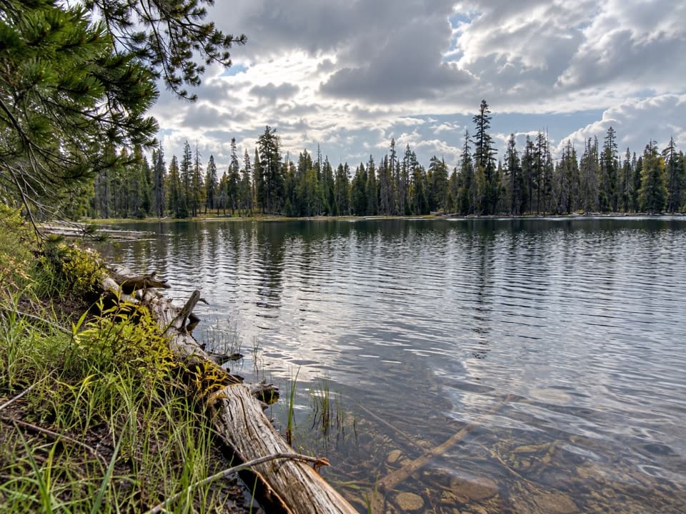 ModerateDrake Lake Trail5 mi · 3.5 hr · 0.2 mi awaySteep switchbacks climb from a meadow to a quiet forest lake.
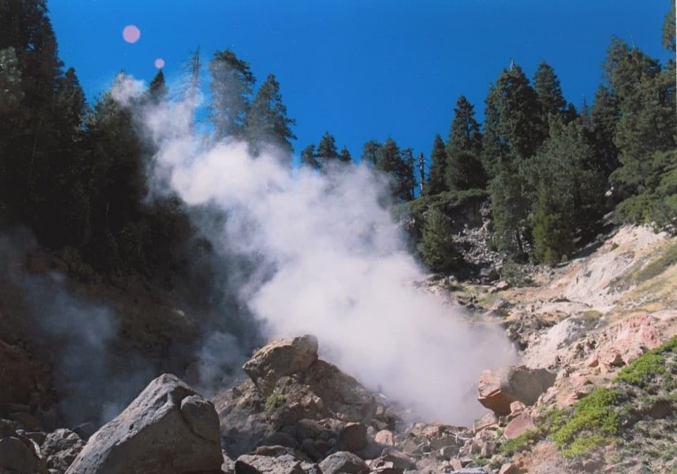 ModerateTerminal Geyser Trail5.8 mi · 2.8 hr · 0.2 mi awayA forest climb ends at a steam plume in Willow Creek’s canyon.
 ChallengingKings Creek Loop from Warner Valley10.5 mi · 8 hr · 0.2 mi awayA hard loop over Flatiron Ridge, Kings Creek Falls and Bench Lake.
 EasyDream Lake Basin Trail1.5 mi · 45 min · 0.2 mi awayA former lake basin threaded by springs and meadow plants.
 ModerateLittle Willow Lake to Terminal Geyser Trail3.2 mi · 2.3 hr · 2.4 mi awayA lakeside fen leads to a steam vent in the woods.
 ChallengingPacific Crest Trail through Lassen Volcanic19.1 mi · 10 hr · 2.5 mi awayA true PCT crossing strings together remote lakes and forest.
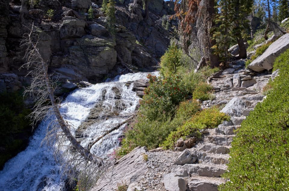 ModerateKings Creek Falls Trail2.8 mi · 2 hr · 3.3 mi awayA waterfall loop ends beside the creek on steep stone stairs.
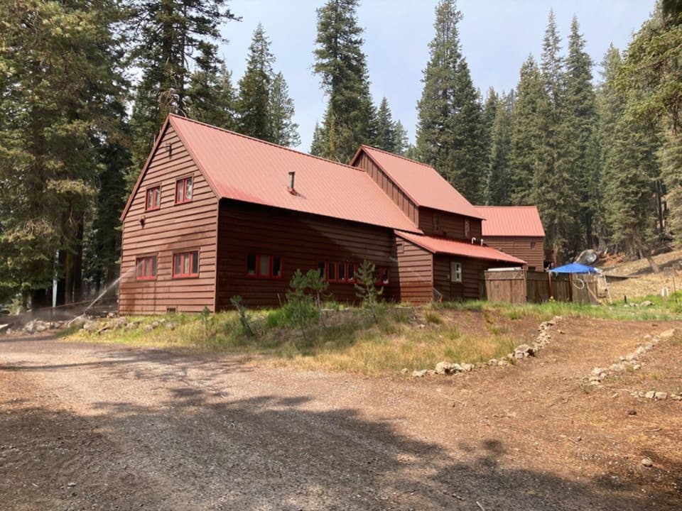 Lodging · 0.2 mi awayDrakesbad Guest RanchA remote Warner Valley base for meals, lodging, and nearby hikes
 Campground · 0.3 mi awayWarner Valley CampgroundA remote, wooded base for Warner Valley's trail network.
 Picnic area · 0.4 mi awayWarner Valley Day Use AreaA trailhead picnic stop for Lassen's hydrothermal corner.
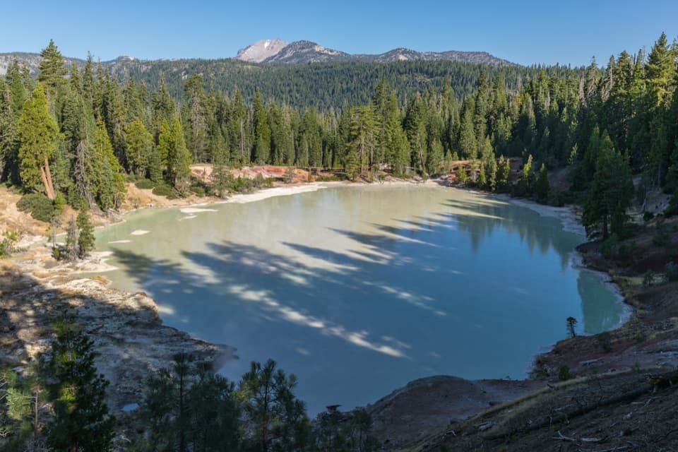 Sight · 0.5 mi awayBoiling Springs LakeA warm, milky lake ringed by steam and bubbling mudpots.Sight · 1.8 mi awayDevils KitchenBubbling pools and steam after a longer Warner Valley hike.Sight · 1.9 mi awayTerminal GeyserA creekside steam vent at the end of a long hike.
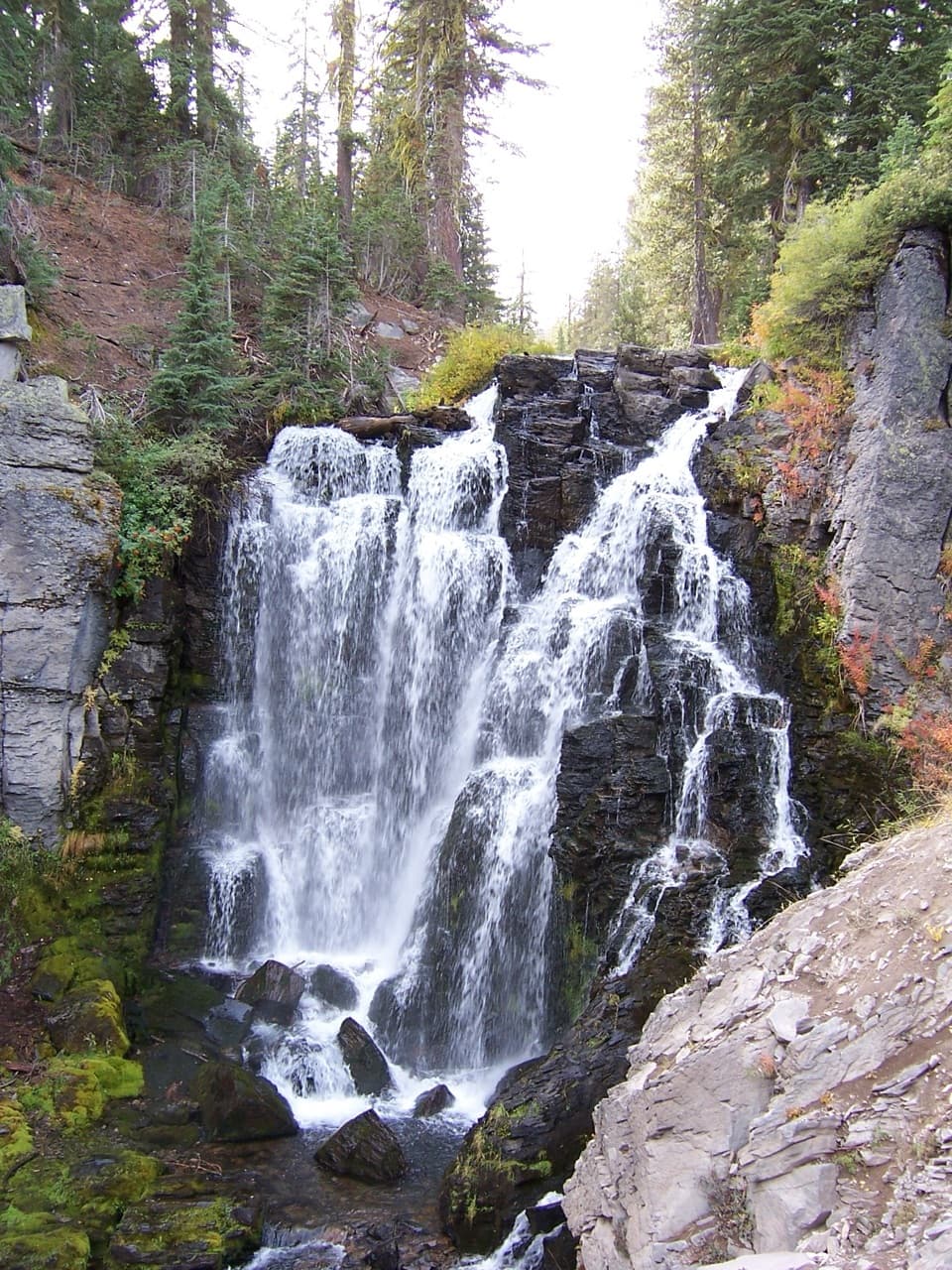 Sight · 2.5 mi awayKings Creek FallsThe creekside stone steps are half the payoff.
 Campground · 3.6 mi awaySummit Lake South CampgroundA short lake walk and dark skies define this tent campground.
Parkwolf’s Lassen Volcanic ranking
The audio tour guide for the drive, plus offline maps, trails, and wildlife heatmaps for when the signal drops.