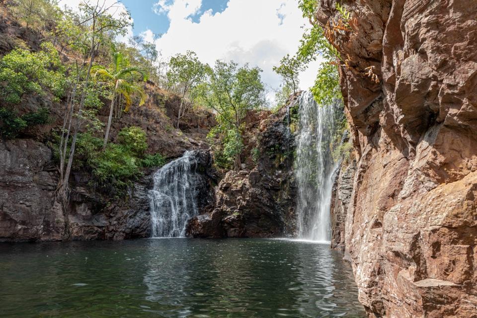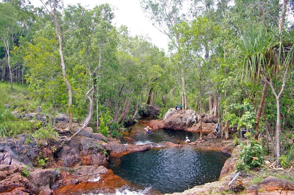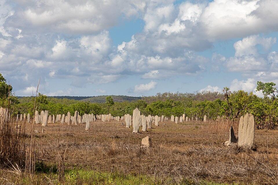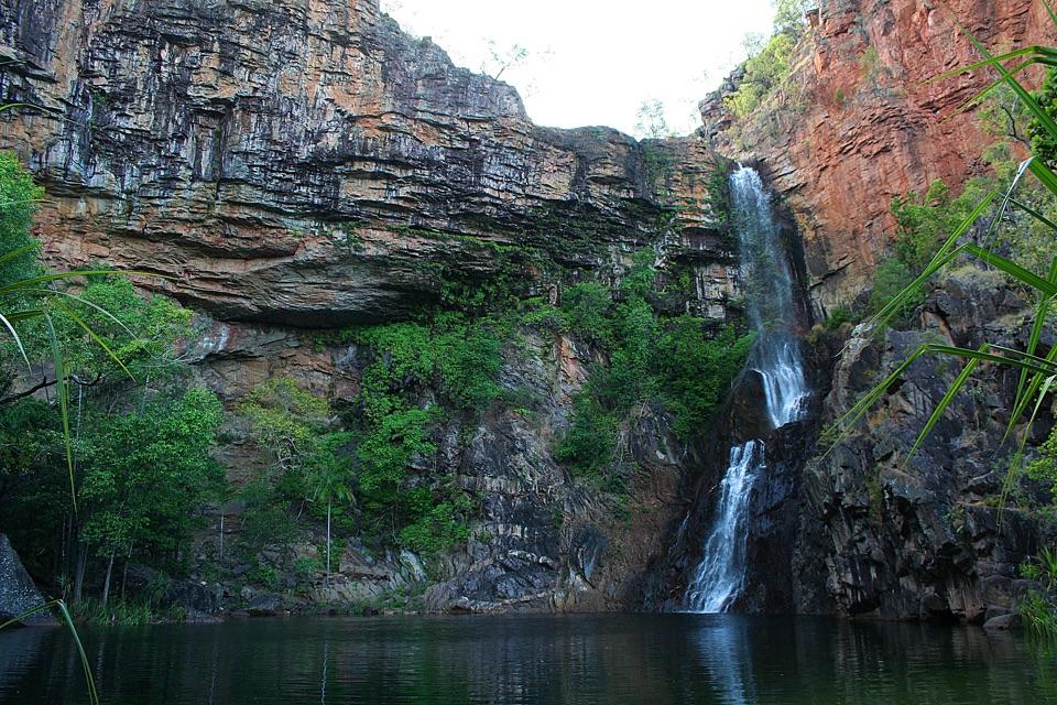
Tjaynera Falls (Sandy Creek Falls) in Litchfield National Park

#7 of 17 sights in Litchfield

Sight · Litchfield National Park

Tjaynera Falls (Sandy Creek Falls)

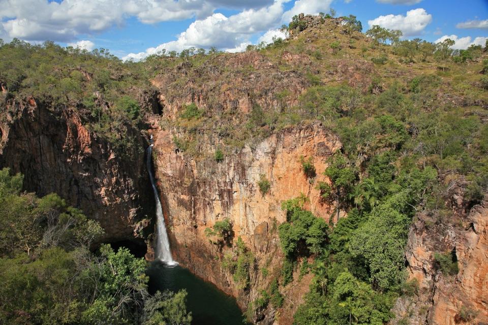
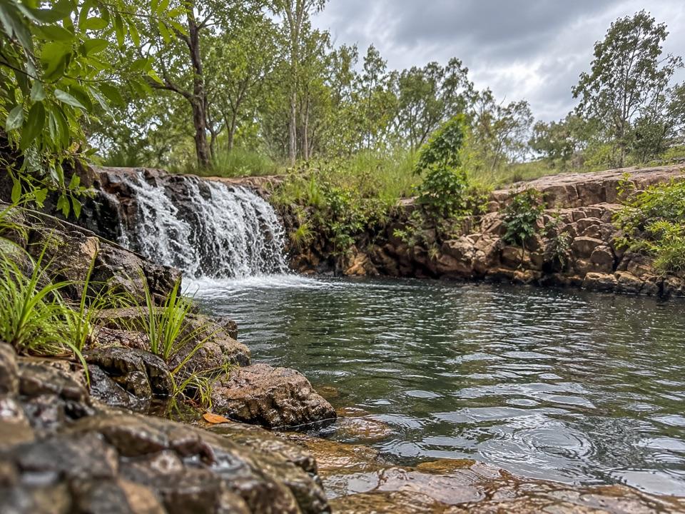
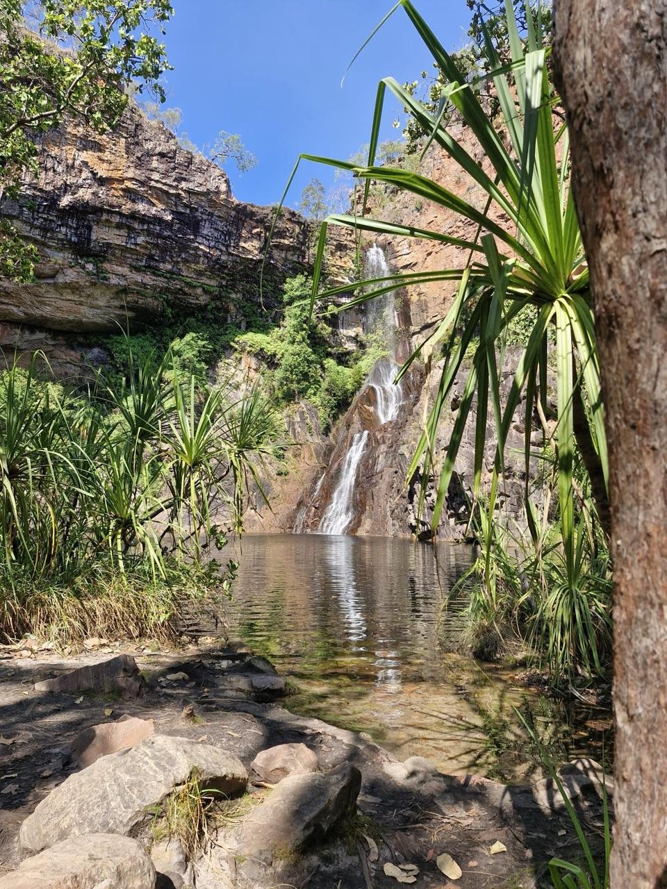
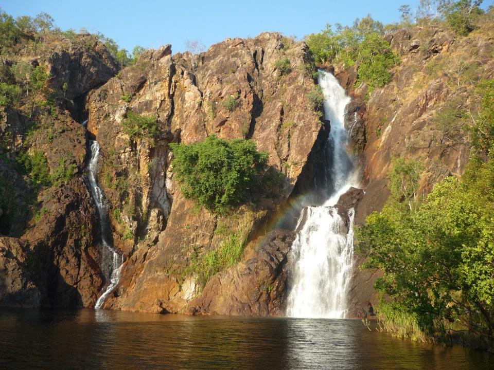
Deep plunge pool at the end of a 4WD-only creek walk

Photo: Bäras, CC BY-SA 3.0

Type
Sight
Nearest trail
1.5 km
Audio stories
2 nearby
  • Trailhead
  • Parking
  • Restrooms
  • Campground

Hear the audio tour

Tjaynera Falls and Sandy Creek
Download Parkwolf on the App StoreGet Parkwolf on Google Play

4.7 from 8,600+ ratings

Overview

About Tjaynera Falls (Sandy Creek Falls)

Why stop

  • Dramatic plunge pool beneath a cliff waterfall
  • Quieter, more remote feel than easy-access Litchfield falls

Heads up

  • Rough 4WD approach and creek-track access
  • Moderate walk and uneven sections require planning

Map

Where it is

Loading the Litchfield map
Full map
SightTjaynera Falls (Sandy Creek Falls)-13.24447, 130.75752
Keep this map with you offline in the Parkwolf app

Plan your stop

Before you go

Best time to go

An earlier start is the practical call, since it gives you unhurried time for the moderate walk and the swim rather than rushing the return leg. The tradeoffs are straightforward: a rough 4WD approach, a moderate walk on uneven ground, and access that depends on the condition of the Reynolds Track. Without a suitable vehicle or the time to commit to the track, the more accessible falls closer to the sealed roads are the better use of a day. With both, this one repays the trip.

Getting there

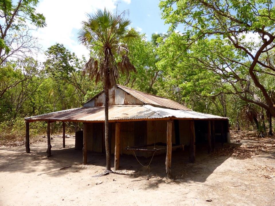
Access is by 4WD track only, via the Reynolds Track, a 44 km route leaving Litchfield Park Road between Tolmer and Wangi Falls and connecting south to Daly River Road. It passes Blyth Homestead and the turnoff to Surprise Creek Falls. Treat the drive as the main commitment of the day rather than a quick detour, and check track conditions before you set out, since getting here depends entirely on the state of the Reynolds Track.

2 active Litchfield alerts

  • ClosureSurprise Creek access closedMentions Surprise Creek, referenced in this guideSurprise Creek Falls and Surprise Creek Campground are closed because access is impassable.Official details
  • ClosureTabletop Track closed for extreme heatTabletop Track is closed to general access because of seasonal closure during extreme heat conditions; access is by permit only. Check current Tabletop Track status before travelling.Official details
Litchfield alerts
A park ranger sits on a dash-mounted phone, talking, as Parkwolf’s Tour Guide plays “Army Cutworm Moths: A Grizzly Bear Buffet” on Grand Loop Road below Dunraven Pass in Yellowstone
Parkwolf Tour GuideThe highest, rockiest slopes around here are a summer buffet for grizzly bears.

Litchfield Tour Guide

Your drive to Tjaynera Falls (Sandy Creek Falls), narrated.

Parkwolf is a GPS audio tour guide for Litchfield National Park. As you drive, it chimes in with what’s ahead: hidden gems, upcoming stops, history, geology, and wildlife, right through your car’s speakers.

See the Litchfield audio tour

Recorded for this place

Tjaynera Falls and Sandy Creek
0:00 / 0:24
“You're approaching the Sandy Creek carpark for Tjaynera Falls, a creekside walk to a pool beneath a layered rock face.”

Plays as you drive up to Tjaynera Falls (Sandy Creek Falls) in the Parkwolf Litchfield Tour Guide.

More stories near here in the app

  • The Trees Holding Sandy Creek
  • Blyth's Waterworks
  • Blyth Homestead
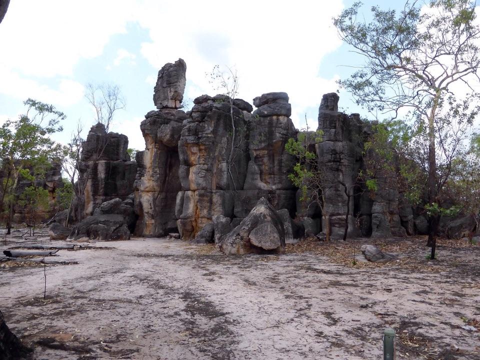
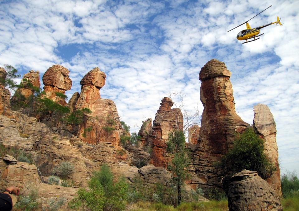
  • The Lost City
  • 68 audio storiesacross Litchfield’s roads, triggered by GPS as you drive
  • Wildlife heatmapsfor Black Flying-fox, Rockhole Frog, Western Laughing Tree Frog, and 13 more
  • Works offlinemaps, 18 trails, 33 places, and audio download before you lose signal
  • CarPlay readysimple controls built for the drive
★★★★★
“Fantastic app with many points of information… It’s great to just turn on while you’re driving and it gives you an audio tour of the national Park. We love it!!!!”
JMJamesApp Store review
Download Parkwolf on the App StoreGet Parkwolf on Google Play

4.7 from 8,600+ ratings

Guide

More about Tjaynera Falls (Sandy Creek Falls)

Why botherTjaynera Falls is one of the Litchfield waterfalls you have to work for, and that effort is the…

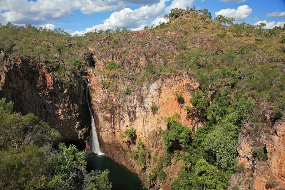
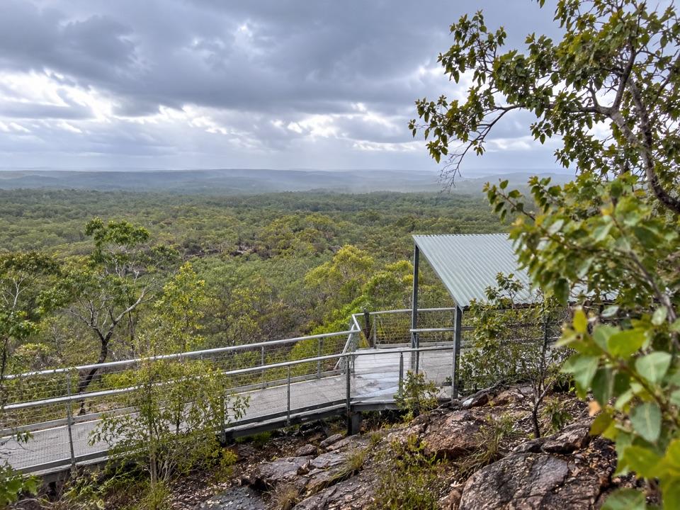
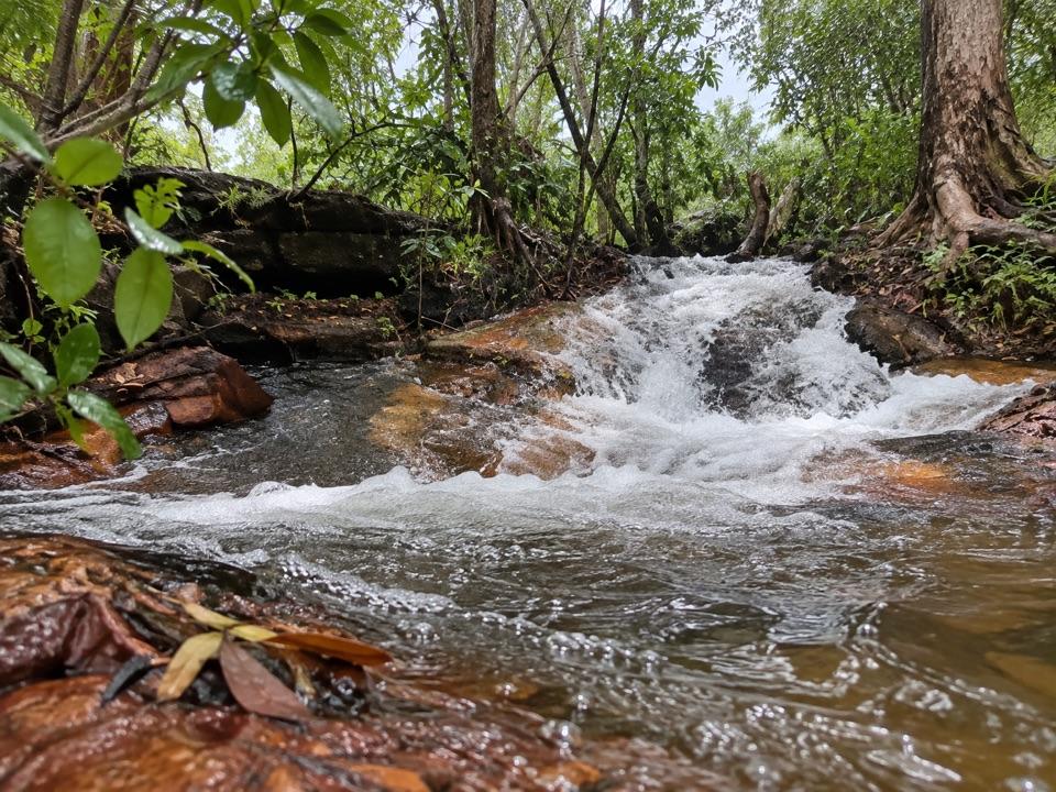
Tjaynera Falls is one of the Litchfield waterfalls you have to work for, and that effort is the whole point. A narrow fall slips down layered red-brown rock into a plunge pool where swimming is permitted, framed by pandanus and creek vegetation. Because the only way in is a rough 4WD track plus a walk, it draws less traffic than the easy-access waterholes elsewhere in the park.

The walkFrom the car park it is a 1.7 km track to the falls, 3.4 km return, allow about 1.

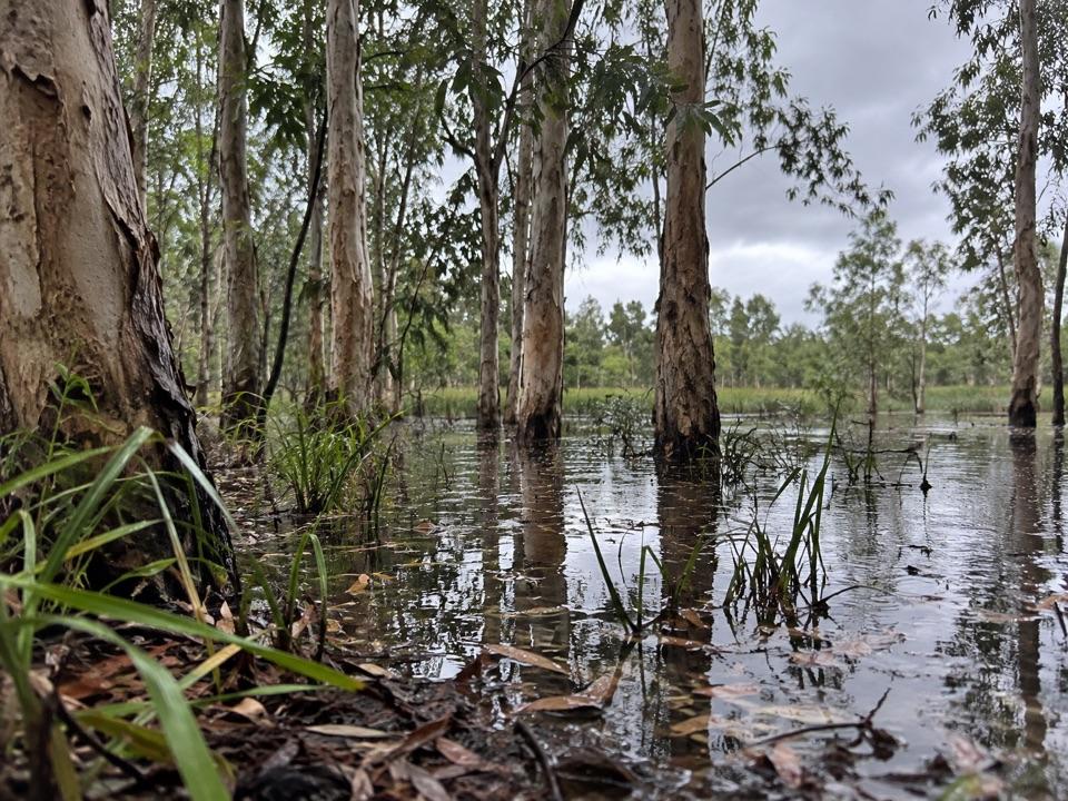
From the car park it is a 1.7 km track to the falls, 3.4 km return, allow about 1.5 hours, officially rated Grade 3 moderate. It follows the creek, passes a hillside full of cycads, and finishes at the pool below the falls. Visitors commonly describe a mostly green, creekside route with some rock hopping and short steeper sections, so wear proper shoes and carry plenty of water.

Camping and practicalitiesThe walk starts at the Tjaynera Falls bush campground, a basic category B site with toilets and…

The walk starts at the Tjaynera Falls bush campground, a basic category B site with toilets and showers. Campsites are designated and must be booked and paid for online, and visitors to the NT need an NT Parks Visitor Pass, while NT residents are exempt. Given the remote 4WD setting, come self-sufficient with your own water, food, and fuel.

Wildlife

Wildlife in Litchfield

All Litchfield wildlife maps

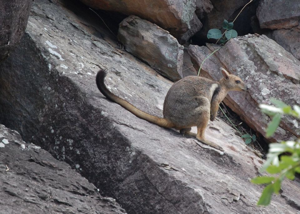
Sighting maps show where each species has been reported across Litchfield. Wildlife moves, so no sighting is guaranteed.

Keep exploring

Near Tjaynera Falls (Sandy Creek Falls)

See it all on the map

Trails nearby

More stops nearby

Parkwolf’s Litchfield ranking

Top sights in Litchfield

All 33 places
  1. 1Wangi FallsSight
  2. 2Florence FallsSight
  3. 3Buley RockholeSight
  4. 4Magnetic Termite MoundsSight
  5. 5Tolmer FallsSight
  6. 6The Lost CitySight

Take Parkwolf to Litchfield.

The audio tour guide for the drive, plus offline maps, trails, and wildlife heatmaps for when the signal drops.

4.7 from 8,600+ ratings

Download Parkwolf on the App StoreGet Parkwolf on Google Play