Parking
Start at the Tjaynera Falls carpark beside Sandy Creek campground, 1.7 km south of Blyth Homestead on Reynolds Track. Reaching it requires the 4WD-only Reynolds River Track.
#7 of 17 trails in Litchfield
Litchfield National Park, NT
Cycads, paperbarks, and a plunge pool beneath the falls.
Overview
Tjaynera Falls Walk is the 3.4 km (2.1 mi) out-and-back from the Sandy Creek campground car park to the plunge pool beneath Tjaynera Falls. Plan for about 1.5 hours on a Grade 3, moderate track. You follow Sandy Creek to a real pool at the foot of the falls, where swimming is allowed. The walk fits into half a day; getting there on the rough Reynolds Track is what turns it into a bigger outing.
 Parkwolf’s verdictThe payoff at the end
Map & elevation
Plan your hike

The highest, rockiest slopes around here are a summer buffet for grizzly bears.
Litchfield Tour Guide
Parkwolf is a GPS audio tour guide for Litchfield National Park. As you drive, it chimes in with what’s ahead: hidden gems, upcoming stops, history, geology, and wildlife, right through your car’s speakers.
Recorded for this trailhead
Tjaynera Falls and Sandy Creek“You're approaching the Sandy Creek carpark for Tjaynera Falls, still a one-point-seven-kilometre walk away.”
Plays as you drive up to this trailhead in the Parkwolf Litchfield Tour Guide.
More stories near here in the app
“Fantastic app with many points of information… It’s great to just turn on while you’re driving and it gives you an audio tour of the national Park. We love it!!!!”


Trail guide
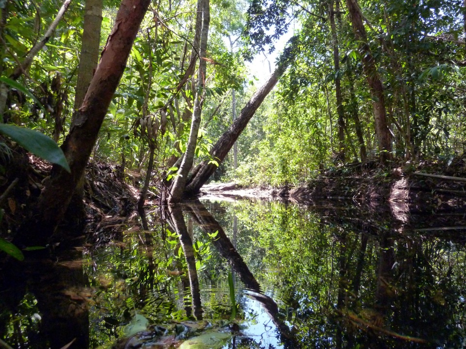
From the carpark, the track winds beside the creek through an open valley lined with paperbarks. The cycad-covered hillside is the landmark on the approach, before the path reaches the pool. It's a quiet track, with the creek and plants giving the short walk a little more to notice than a straight line to the falls.
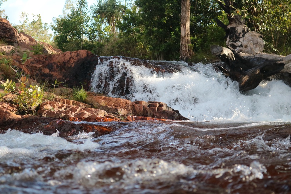
Underfoot, expect broken rock and sand, with a steeper, rockier finish near the falls. Take your time as the tread roughens. Grade 3 means moderate rather than a flat stroll, and the same uneven section is underfoot again on the return. The route itself is simple to describe: start at the carpark, follow the creek to the plunge pool, then retrace your steps.
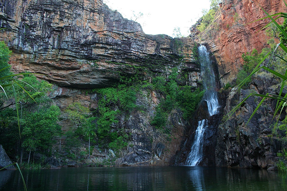
The path ends at a broad swimming hole below Tjaynera Falls. Swimming is permitted in the plunge pool, so the official 1.5-hour estimate is for walking; give yourself longer if you want to stay by the water instead of turning straight around.
For a photo, get to the pool edge and include water across the bottom of the frame with the falls above it. The waterfall drops against a layered rock face, and the pool shows its scale better than a tight crop of the cascades. Keep to the established access and pool edge; no separate lookout was identified.
Use the Tjaynera Falls carpark at Sandy Creek campground as the start. The campground is beside the parking area and has toilets and showers; camping is separate from the walk and must be booked and paid online. The carpark lies 1.7 km south of Blyth Homestead along Reynolds Track. It was also the site of a timber-cutting camp in the mid-1990s, a small reminder that this quiet corner has an industrial past.
Reynolds River Track is 4WD-only and rough, with wet-season closures and water crossings that change with conditions. Check NT Parks' current access notice before setting out; an earlier crossing depth is no promise about today's drive. Visitors to the NT need an NT Parks Visitor Pass for Litchfield, and pets aren't allowed in the park.
I'd plan this as the point of a day on the Reynolds road, rather than a quick detour. This is a walk through creek country to the base of a waterfall: the payoff is the pool, a hillside of cycads and the return along the same path. If the long 4WD approach isn't part of your plan, this is the wrong walk to squeeze in.
Keep exploring
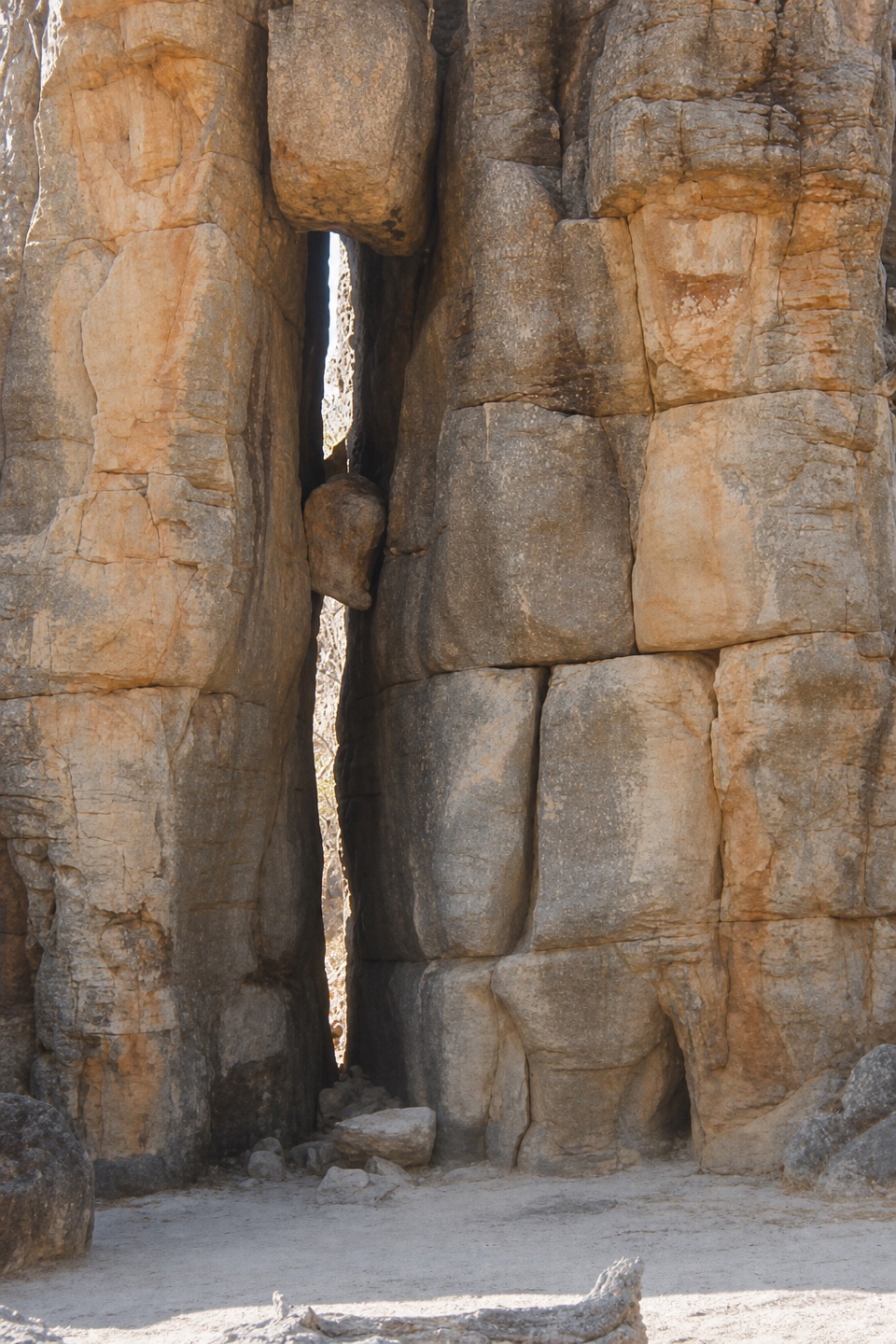 EasyThe Lost City Walk0.7 km · 30 min · 3.8 km awayA short wander among sandstone pillars, reached only by 4WD.
 EasyTolmer Falls Lookout Walk0.8 km · 20 min · 6.3 km awayA short sealed path to two decks over Tolmer's deep gorge.
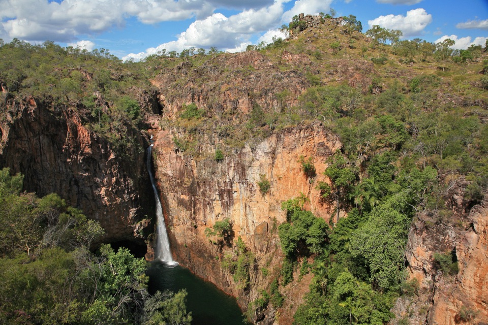 ModerateTolmer Falls Walk1.6 km · 45 min · 6.3 km awayA short loop pairs the falls platform with a rocky creek return.
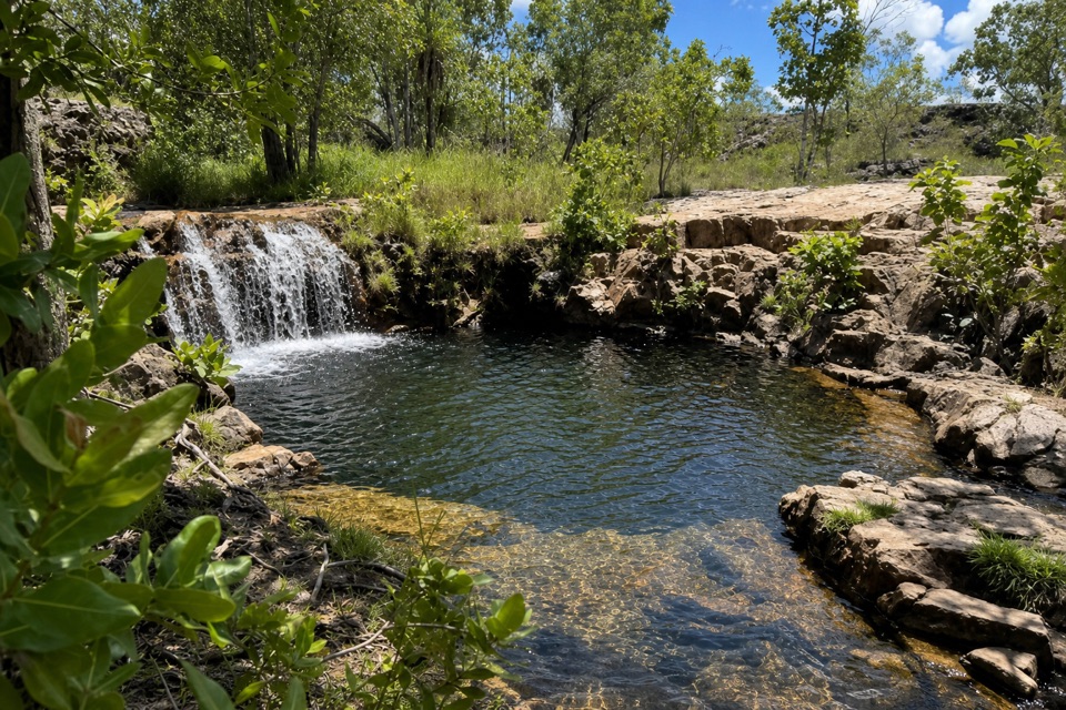 ModerateGreenant Creek Walk3.1 km · 1.5 hr · 7.3 km awayShade gives way to a steep climb and a falls lookout.
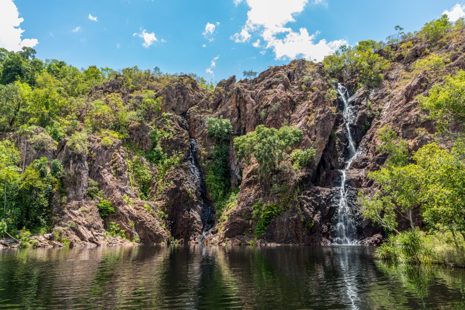 ModerateWangi Falls Walk1.6 km · 1 hr · 11.7 km awayA short loop pairs the plunge pool with an escarpment climb.
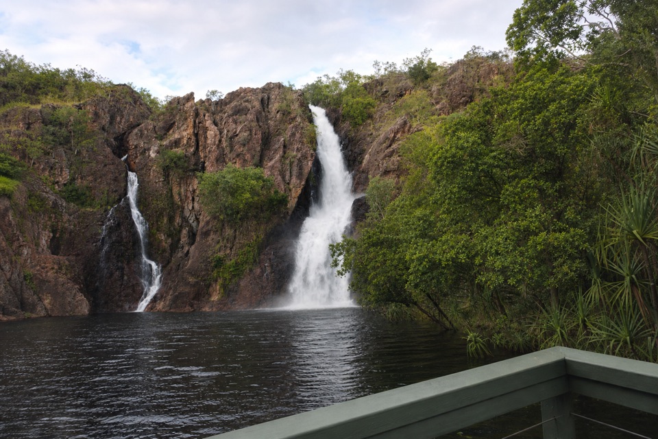 ChallengingTabletop Track: Wangi Falls to Walker Creek20.2 km · 12 hr · 11.9 km awayA rugged two-day Tabletop crossing with waterfalls and long dry stretches.
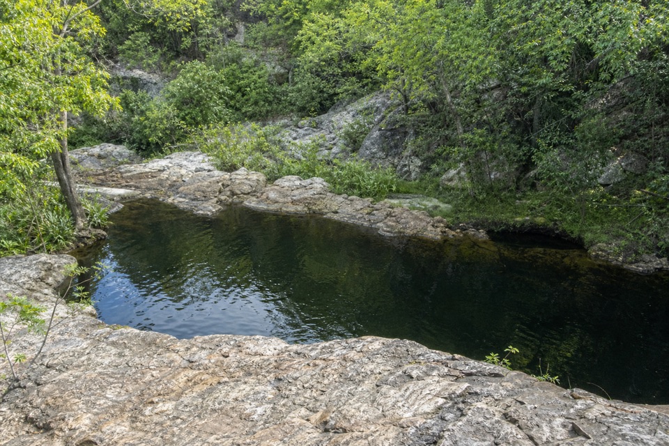 ModerateLower Cascades Walk2.6 km · 1.5 hr · 16.4 km awayQuickest, shadiest access to Curtain Falls and its rocky plunge pool.
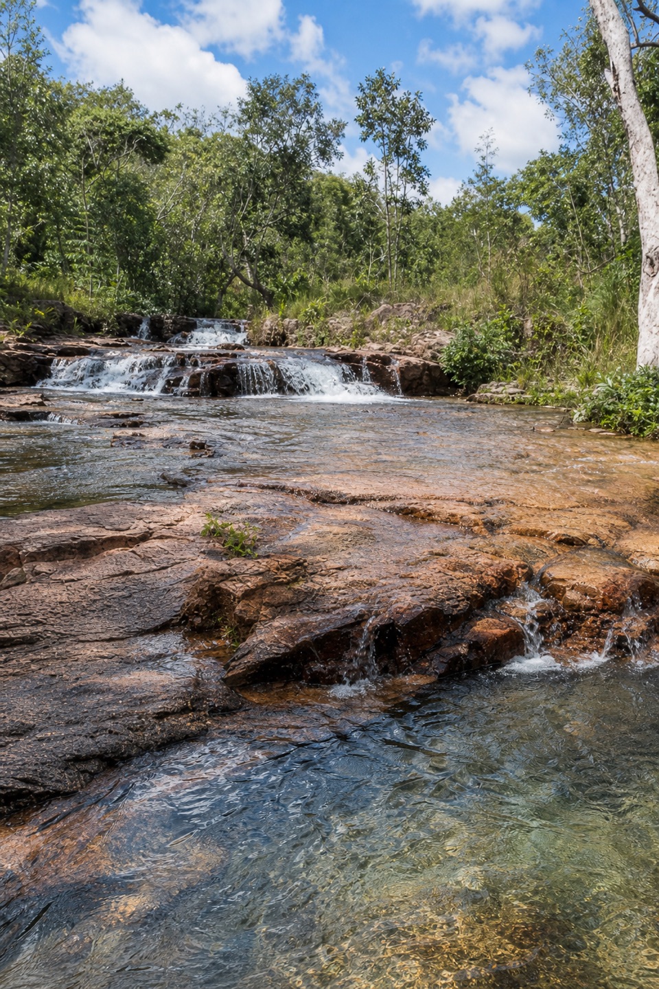 ModerateUpper Cascades Walk3.3 km · 2 hr · 16.4 km awayA rocky climb opens onto plateau lookouts and stepped cascades.
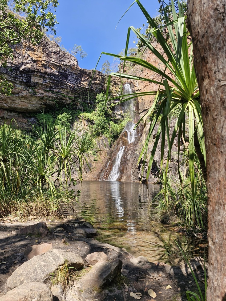 Campground · At the trailheadTjaynera Falls Campground (Sandy Creek)Secluded 4WD bush camp with a paperbark walk to a plunge poolSight · 1.5 km awayTjaynera Falls (Sandy Creek Falls)Deep plunge pool at the end of a 4WD-only creek walk
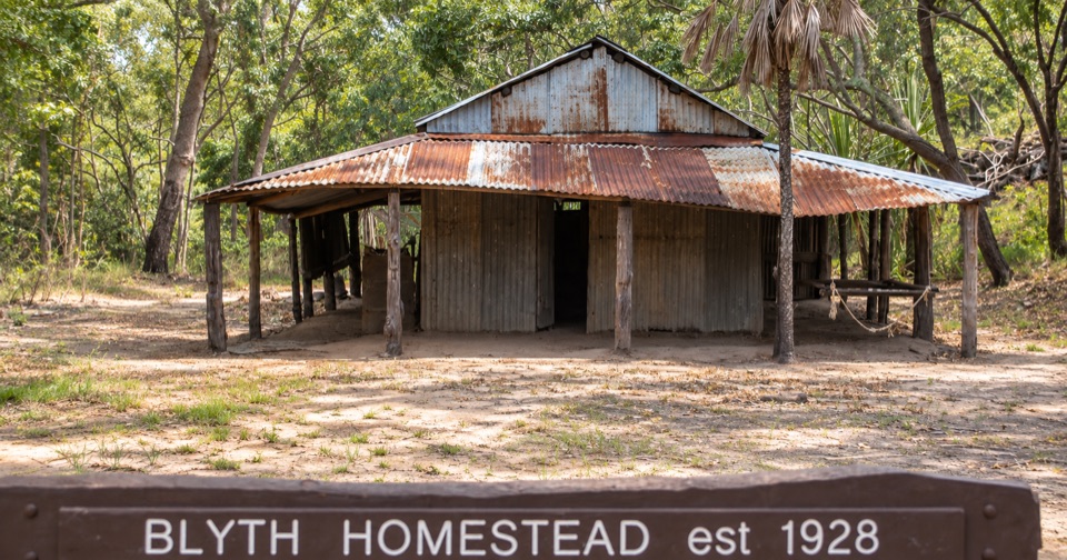 Sight · 2.9 km awayBlyth HomesteadRestored 1928 pastoral homestead deep on the Reynolds River 4WD track
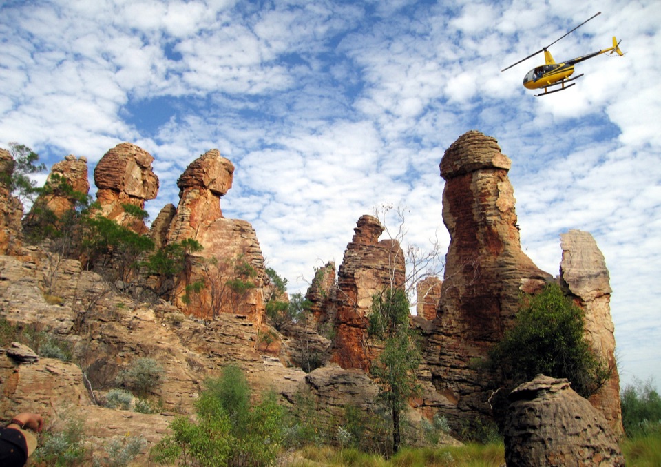 Sight · 3.8 km awayThe Lost CityTowering sandstone blocks like ruined city streets, reached only by 4WDSight · 5.9 km awayTolmer FallsTwin escarpments, one deep plunge pool, and a short sealed path
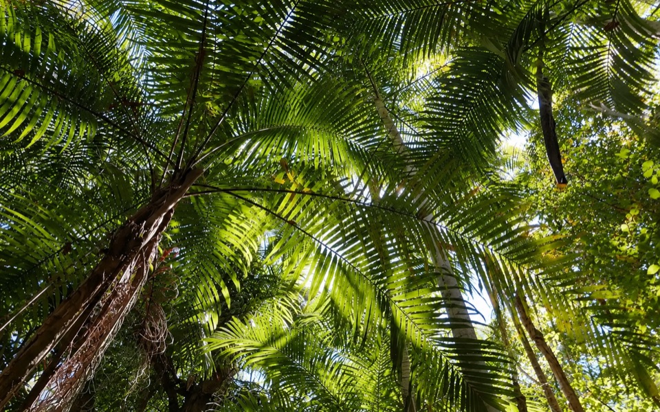 Picnic area · 7.3 km awayGreenant Creek Picnic AreaShady creekside start to a 2.7 km return walk and lookout
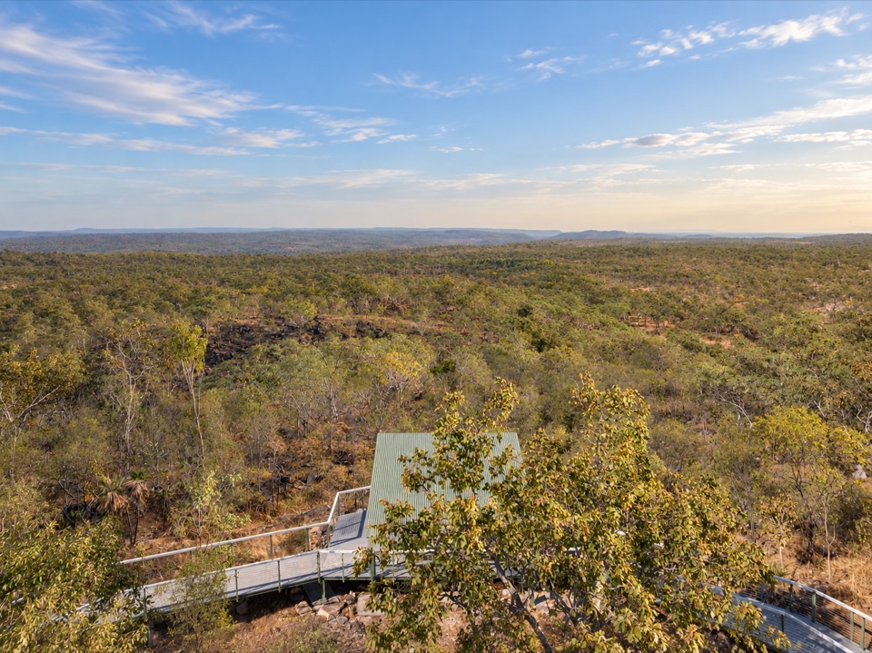 Sight · 7.5 km awayCentral Valley Escarpment LookoutRoofed platform above vast wooded savanna, rough 4WD access
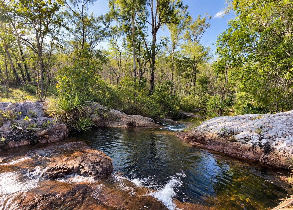 Campground · 7.7 km awayCentral Valley Campground 3Secluded 4WD-only camping beside the East Reynolds River
Parkwolf’s Litchfield ranking
The audio tour guide for the drive, plus offline maps, trails, and wildlife heatmaps for when the signal drops.