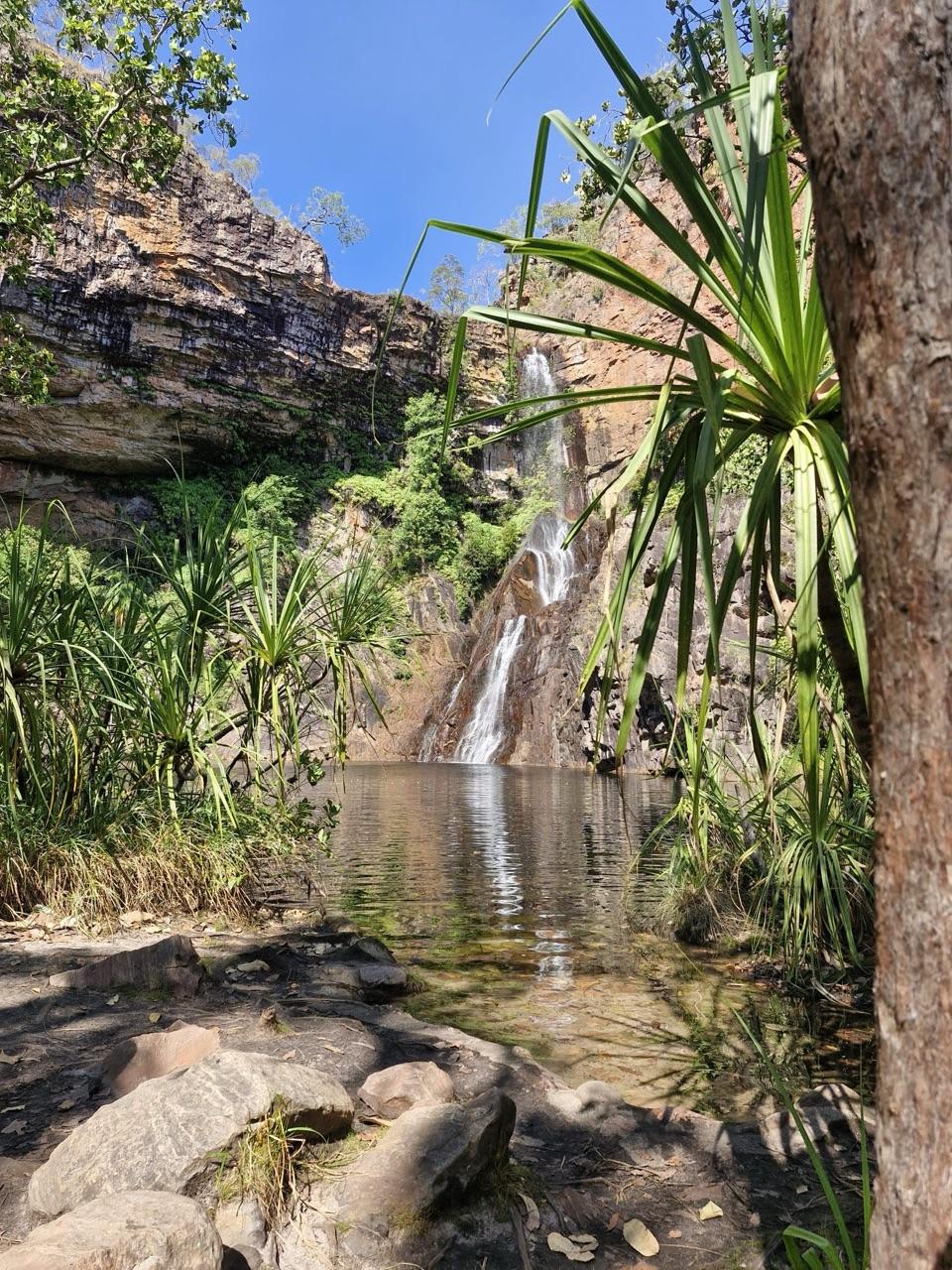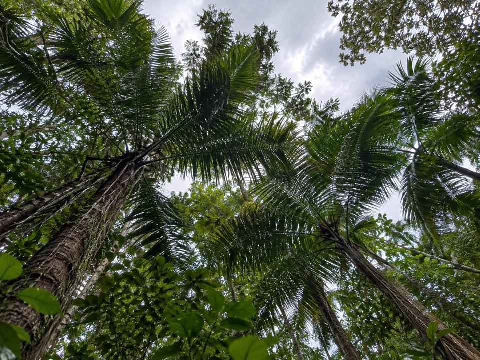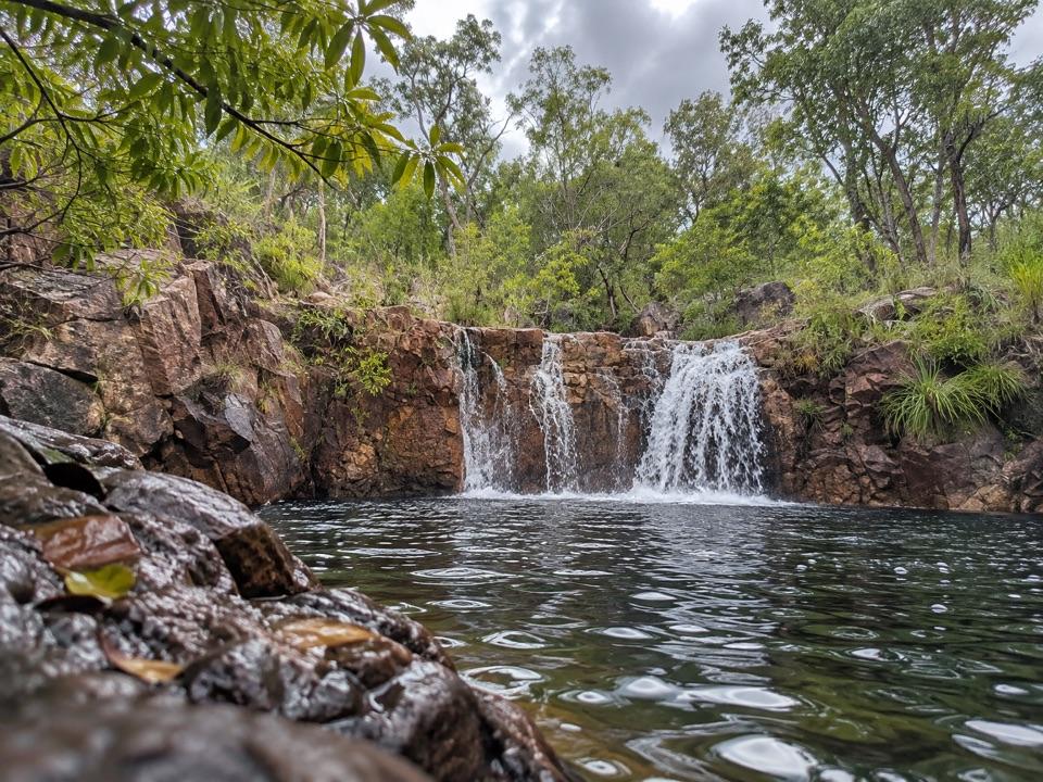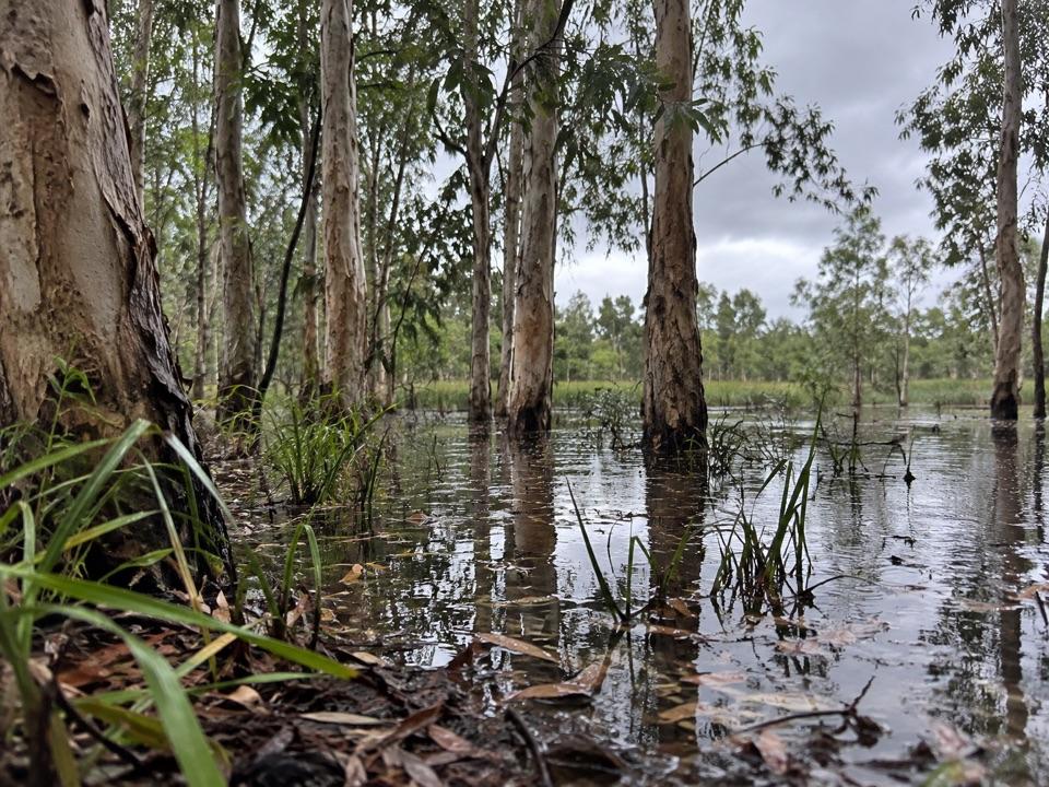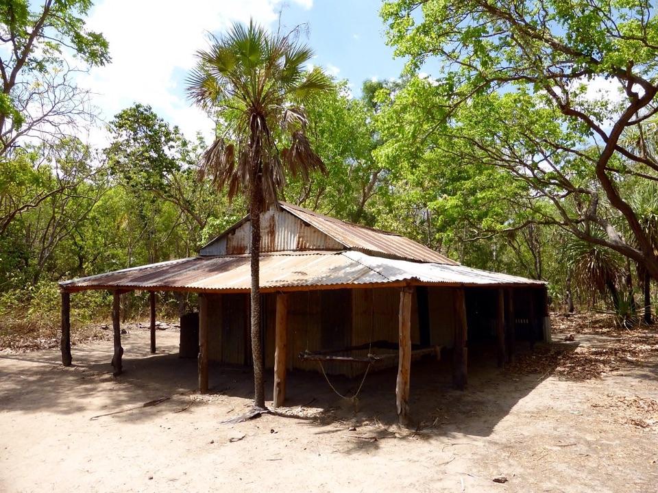
Blyth Homestead in Litchfield National Park

Sight · Litchfield National Park

Blyth Homestead

Restored 1928 pastoral homestead deep on the Reynolds River 4WD track

Photo: Bryn Pinzgauer, CC BY 2.0

Type
Sight
Nearest trail
2.1 km
Audio stories
5 nearby
  • Parking
  • Exhibit

Hear the audio tour

Blyth Homestead
Download Parkwolf on the App StoreGet Parkwolf on Google Play

4.7 from 8,600+ ratings

Overview

About Blyth Homestead

Why stop

  • Restored homestead with a rare look at Top End pastoral history

Heads up

  • Rough 4WD-only access makes it a committed side trip

Map

Where it is

Loading the Litchfield map
Full map
SightBlyth Homestead-13.23242, 130.72514
Keep this map with you offline in the Parkwolf app

Plan your stop

Before you go

Getting there

The Reynolds Track is 4WD only and rough, with water crossings. The 44 km track lies between Tolmer and Wangi Falls and connects south to Daly River Road. Make the homestead part of a prepared 4WD day, carrying food and drinking water. The site is regularly inaccessible in the tropical wet season, generally November to April; check current track conditions before setting out.

There's a car park, picnic area and interpretation at the homestead. The low corrugated-metal house, timber posts and verandah sit in woodland around the old station.

2 active Litchfield alerts

  • ClosureSurprise Creek access closedSurprise Creek Falls and Surprise Creek Campground are closed because access is impassable.Official details
  • ClosureTabletop Track closed for extreme heatTabletop Track is closed to general access because of seasonal closure during extreme heat conditions; access is by permit only. Check current Tabletop Track status before travelling.Official details
Litchfield alerts
A park ranger sits on a dash-mounted phone, talking, as Parkwolf’s Tour Guide plays “Army Cutworm Moths: A Grizzly Bear Buffet” on Grand Loop Road below Dunraven Pass in Yellowstone
Parkwolf Tour GuideThe highest, rockiest slopes around here are a summer buffet for grizzly bears.

Litchfield Tour Guide

Your drive to Blyth Homestead, narrated.

Parkwolf is a GPS audio tour guide for Litchfield National Park. As you drive, it chimes in with what’s ahead: hidden gems, upcoming stops, history, geology, and wildlife, right through your car’s speakers.

See the Litchfield audio tour

Recorded for this place

Blyth Homestead
0:00 / 0:24
“Blyth Homestead is coming up along the Reynolds Track. Harry Sargent and his family established this corrugated-metal home in 1928, when pastoral work and tin mining made for a hard life in this remote country.”

Plays as you drive up to Blyth Homestead in the Parkwolf Litchfield Tour Guide.

More stories near here in the app

  • Blyth's Waterworks
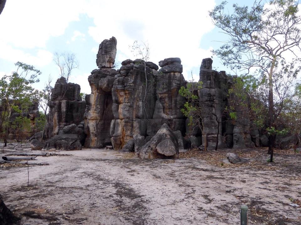
  • The Lost City
  • The Homestead That Moved
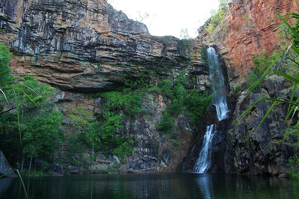
  • Tjaynera Falls and Sandy Creek
  • 68 audio storiesacross Litchfield’s roads, triggered by GPS as you drive
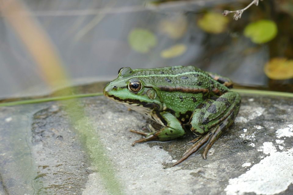
  • Wildlife heatmapsfor Black Flying-fox, Rockhole Frog, Western Laughing Tree Frog, and 13 more
  • Works offlinemaps, 18 trails, 33 places, and audio download before you lose signal
  • CarPlay readysimple controls built for the drive
★★★★★
“Fantastic app with many points of information… It’s great to just turn on while you’re driving and it gives you an audio tour of the national Park. We love it!!!!”
JMJamesApp Store review
Download Parkwolf on the App StoreGet Parkwolf on Google Play

4.7 from 8,600+ ratings

Guide

More about Blyth Homestead

A different sort of Litchfield stopBlyth Homestead is a restored 1928 bush homestead on the Reynolds Track, where the Sargent…

Blyth Homestead is a restored 1928 bush homestead on the Reynolds Track, where the Sargent family combined cattle work with tin mining. It is a small heritage stop rather than another plunge pool: walk around the old house, read the interpretation and sign the visitor book. It's worth stopping if you're interested in how people lived and worked in this remote country, but a long rough drive solely to see it may feel like a lot for a small site.

A house carried across the plateauHarry Sargent established Blyth in 1928 as an outstation of Stapleton Station.

Harry Sargent established Blyth in 1928 as an outstation of Stapleton Station. The house had been built elsewhere: Harry and his children dismantled it and hauled the materials across the Tabletop Plateau on a cart drawn by 32 horses, then rebuilt it and packed an earth floor.

Cattle, tin and waterThe family managed cattle on the floodplains in the dry season and worked the nearby Mt Tolmer…

The family managed cattle on the floodplains in the dry season and worked the nearby Mt Tolmer tin mine in the wet. Harry and his son Max had found the abandoned mine and tin ore before he applied for a mining licence. Springs and the creek supplied the homestead and the mining work; the family made troughs to carry water to the house and vegetable garden, and used saplings for rails along which ore trucks could run.

The name and what remainsBlyth took its name from the Hundred of Blyth land title.

Blyth took its name from the Hundred of Blyth land title. The homestead was later abandoned and restored; it became part of Litchfield National Park in 1986 and was declared a heritage site in 1997. The display gives the family story and the hard work behind this modest building more room than a quick look at the iron walls can.

Wildlife

Wildlife in Litchfield

All Litchfield wildlife maps

Sighting maps show where each species has been reported across Litchfield. Wildlife moves, so no sighting is guaranteed.

Parkwolf’s Litchfield ranking

Top sights in Litchfield

All 33 places
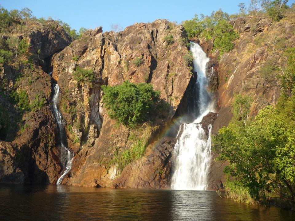
  1. 1Wangi FallsSight
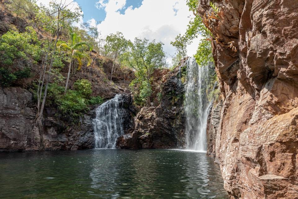
  2. 2Florence FallsSight
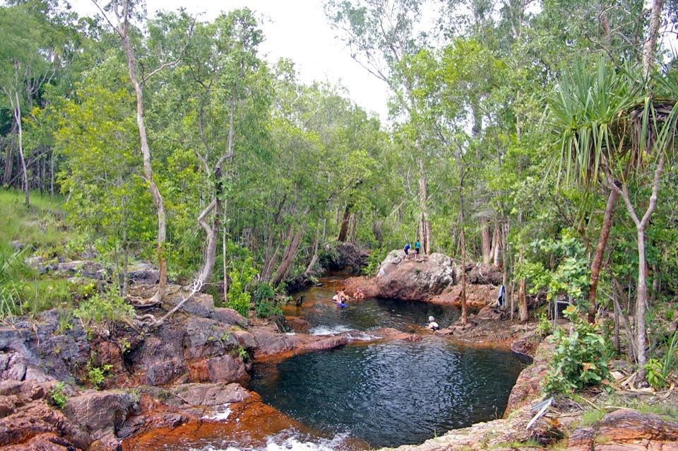
  3. 3Buley RockholeSight
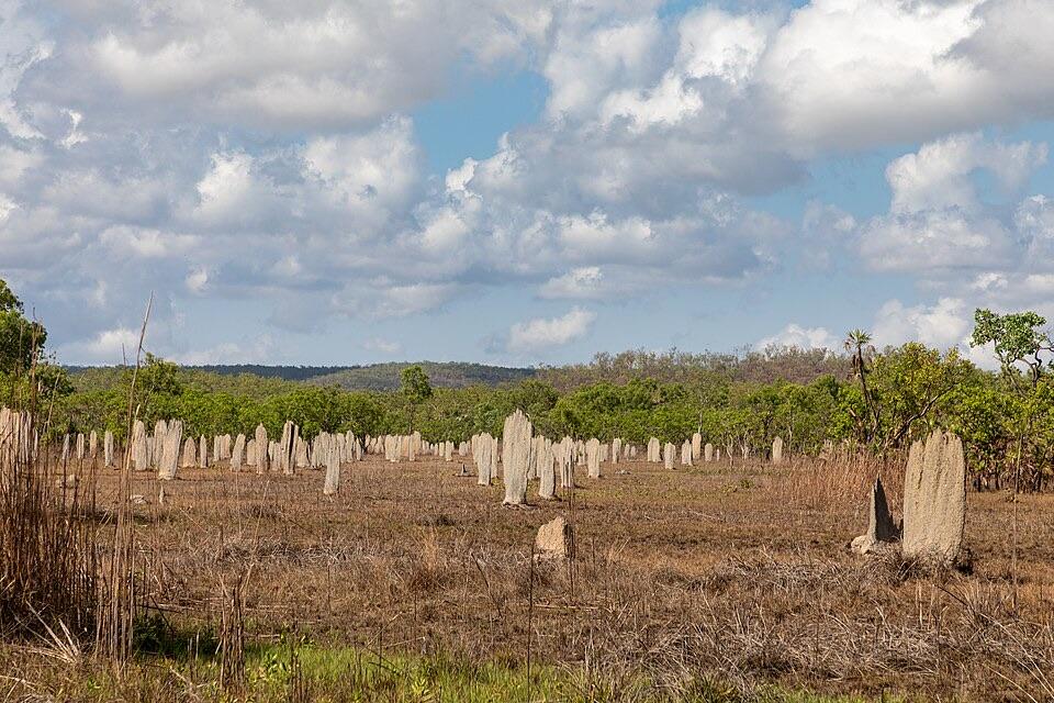
  4. 4Magnetic Termite MoundsSight
  5. 5Tolmer FallsSight
  6. 6The Lost CitySight

Take Parkwolf to Litchfield.

The audio tour guide for the drive, plus offline maps, trails, and wildlife heatmaps for when the signal drops.

4.7 from 8,600+ ratings

Download Parkwolf on the App StoreGet Parkwolf on Google Play