Best time to go
Aim for earlier or later in the day to manage heat and get softer light through the canopy, and give yourself enough daylight for the return leg if you are doing the full walk.
Picnic area · Litchfield National Park
Shady creekside start to a 2.7 km return walk and lookout
Overview
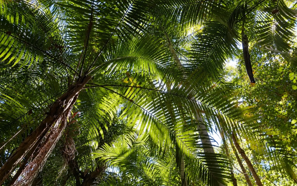
This is the trailhead end of the Greenant Creek experience: a car park, a few picnic tables and the bridge over Greenant Creek where the walk begins. It suits visitors who want a walk and a lookout rather than another swimming stop, and it sits right on sealed Litchfield Park Road near the Wangi side of the park, so it is an easy add-on to a day of driving.
 Parkwolf’s verdictWhy stop here
Map
Plan your stop

The highest, rockiest slopes around here are a summer buffet for grizzly bears.
Litchfield Tour Guide
Parkwolf is a GPS audio tour guide for Litchfield National Park. As you drive, it chimes in with what’s ahead: hidden gems, upcoming stops, history, geology, and wildlife, right through your car’s speakers.
Recorded for this place
Greenant Creek and Tjaetaba Falls“You're approaching Greenant Creek, where a shady walk climbs to the Tjaetaba Falls lookout. It's two-point-seven kilometres return and steep in sections, so allow about an hour and a half.”
Plays as you drive up to Greenant Creek Picnic Area in the Parkwolf Litchfield Tour Guide.
More stories near here in the app
“Fantastic app with many points of information… It’s great to just turn on while you’re driving and it gives you an audio tour of the national Park. We love it!!!!”


Guide
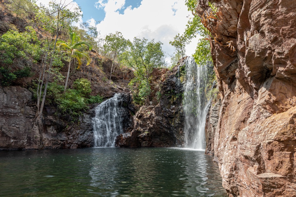
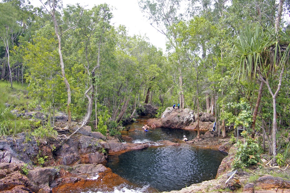
Park, cross the bridge over Greenant Creek, and follow the track upstream through a shady, dense monsoon-forest setting. The full route is 2.7 km return and ends at Tjaetaba Falls Lookout, which is a separate listing and the destination of the walk rather than something you see from the car park.
Officially it is Grade 3, moderate, steep in sections. Expect a steady creek-side walk broken up by climbs that get genuinely steep, so it is more effort than a flat boardwalk stroll. If you only have a few minutes, you can wander to the bridge and the picnic area and turn back without committing to the full return trip.
Swimming is not allowed at the base of Tjaetaba Falls or downstream, because the area is a sacred site. Please treat that as a firm rule, not a suggestion. The top of the falls is not monitored, and swimming there is not recommended. Do not treat the upper pool as an approved swimming hole.
The payoff is the walk and the lookout, so this stop rewards people willing to climb. The steep sections make it unsuitable for anyone wanting a flat, easy stroll, facilities are basic, and the no-swimming restriction at the base and downstream means this is not a place to plan a cool-off dip.
Keep exploring
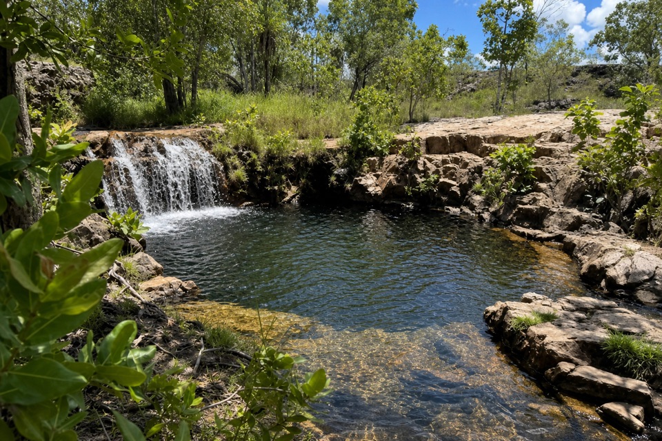 ModerateGreenant Creek Walk3.1 km · 1.5 hr · At the trailheadShade gives way to a steep climb and a falls lookout.
 EasyTolmer Falls Lookout Walk0.8 km · 20 min · 1.4 km awayA short sealed path to two decks over Tolmer's deep gorge.
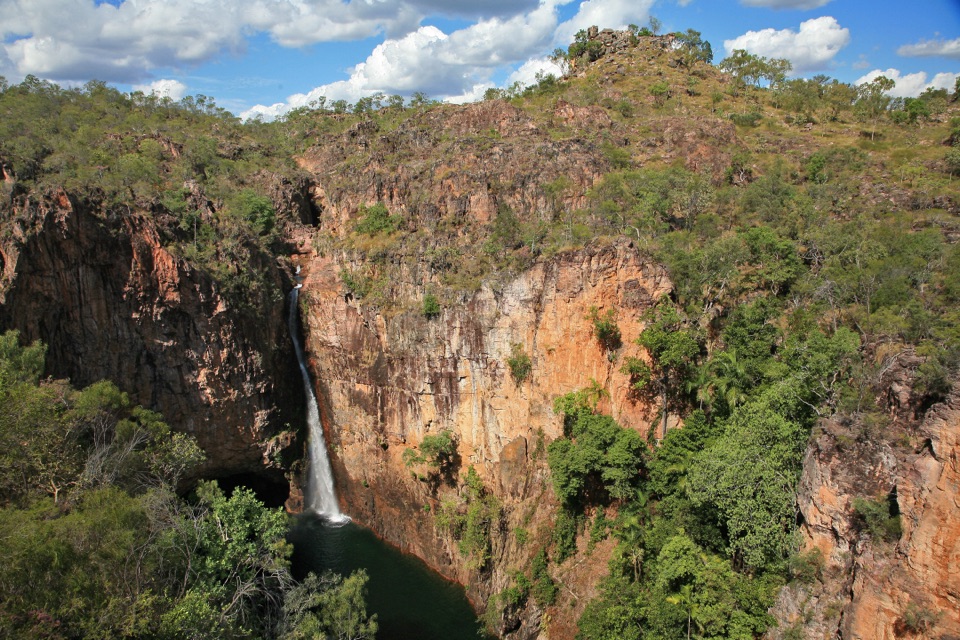 ModerateTolmer Falls Walk1.6 km · 45 min · 1.4 km awayA short loop pairs the falls platform with a rocky creek return.
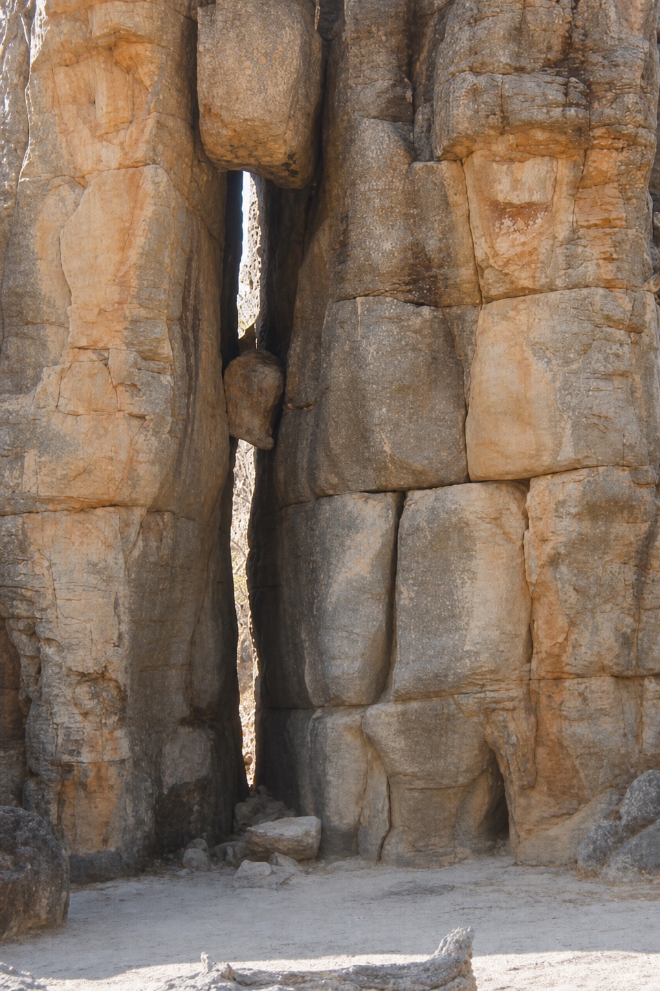 EasyThe Lost City Walk0.7 km · 30 min · 4.2 km awayA short wander among sandstone pillars, reached only by 4WD.
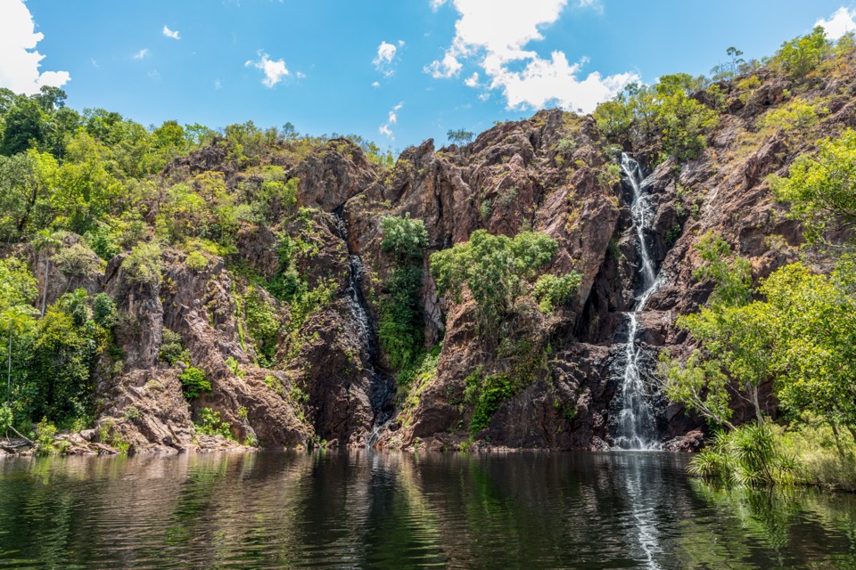 ModerateWangi Falls Walk1.6 km · 1 hr · 4.5 km awayA short loop pairs the plunge pool with an escarpment climb.
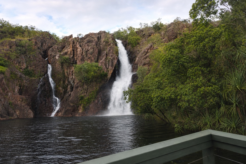 ChallengingTabletop Track: Wangi Falls to Walker Creek20.2 km · 12 hr · 4.7 km awayA rugged two-day Tabletop crossing with waterfalls and long dry stretches.
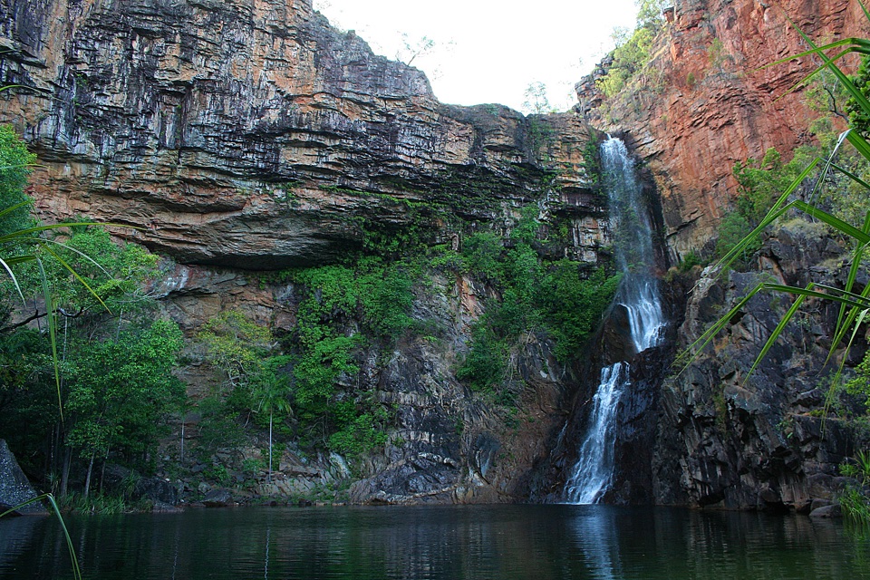 ModerateTjaynera Falls Walk3.4 km · 1.5 hr · 7.3 km awayCycads, paperbarks, and a plunge pool beneath the falls.
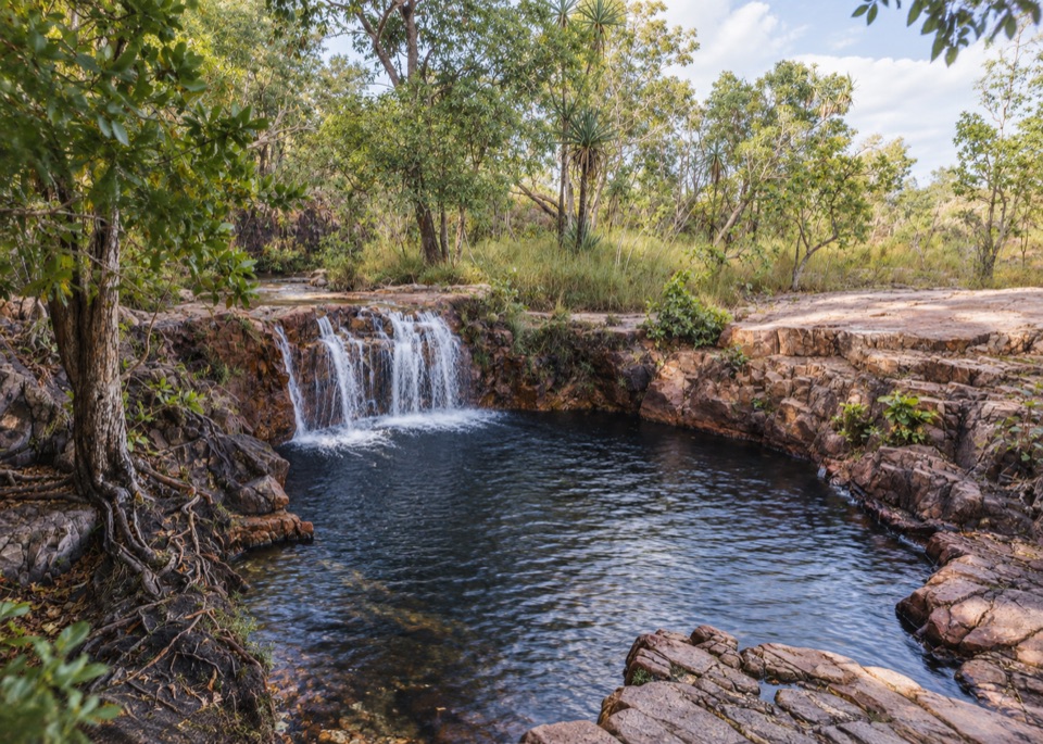 Sight · 1 km awayTjaetaba FallsShady creek walk climbing to a quiet rocky cascadeSight · 1.6 km awayTolmer FallsTwin escarpments, one deep plunge pool, and a short sealed path
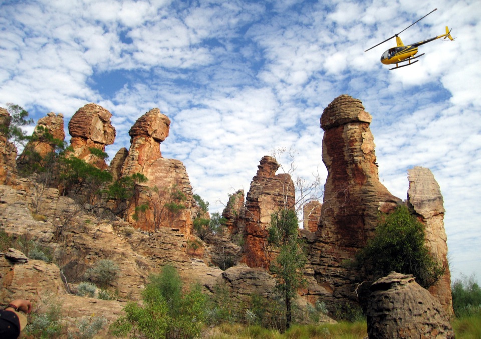 Sight · 4.2 km awayThe Lost CityTowering sandstone blocks like ruined city streets, reached only by 4WD
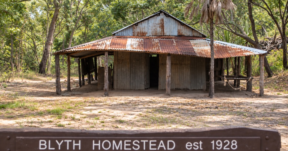 Sight · 4.4 km awayBlyth HomesteadRestored 1928 pastoral homestead deep on the Reynolds River 4WD track
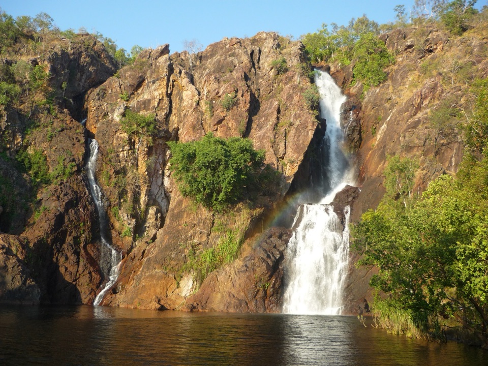 Sight · 4.5 km awayWangi FallsTwin falls into a deep swimming pool, minutes from the carpark
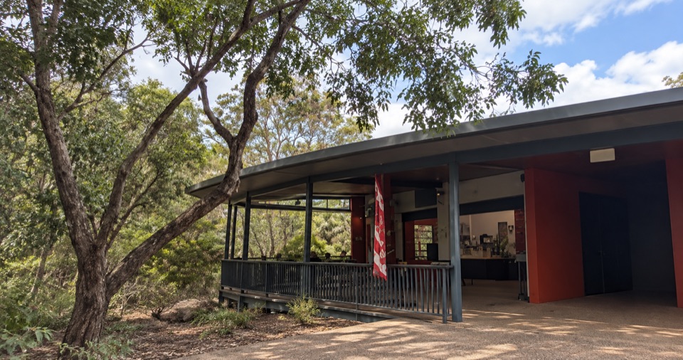 Food · 4.7 km awayWangi Falls CafeShaded open-air kiosk steps from the plunge pool, with cold drinksCampground · 4.8 km awayWangi Falls CampgroundCamp minutes from year-round falls and a deep monsoon-forest pool
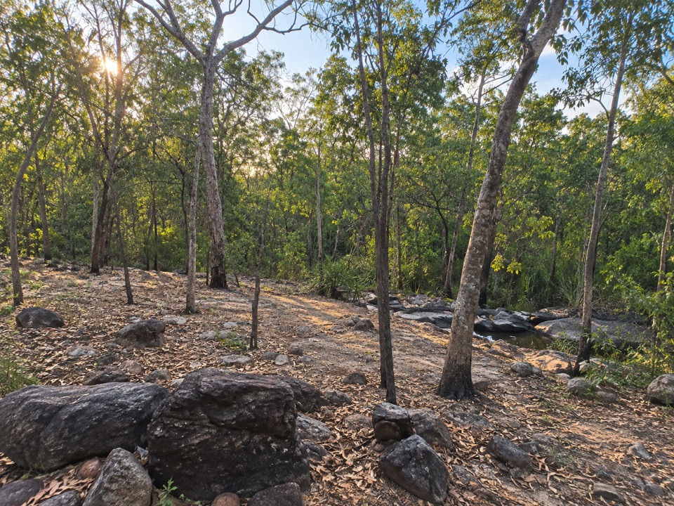 Campground · 5.2 km awaySouthern Campground (Tabletop Track)Rugged riverbed camp 15 km into the Tabletop Track loop
Parkwolf’s Litchfield ranking
The audio tour guide for the drive, plus offline maps, trails, and wildlife heatmaps for when the signal drops.