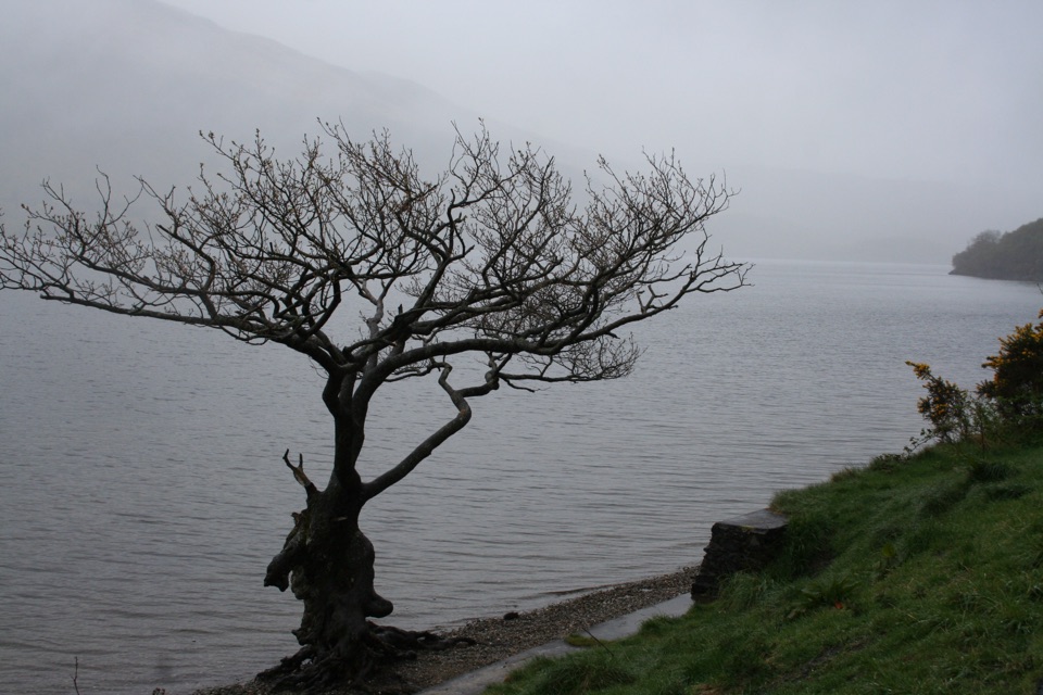
Firkin Point in Loch Lomond & The Trossachs National Park

Sight · Loch Lomond & The Trossachs National Park

Firkin Point

A lochside stop with Ben Lomond views and a long flat path.

Photo: Wikimedia Commons
Type
Sight
Nearest trail
Right here
Audio stories
5 nearby
  • Parking
  • Restrooms
  • Picnic tables
  • Scenic viewpoint

Hear the audio tour

Firkin Point on Loch Lomond

Overview

About Firkin Point

Why stop

  • Flat, accessible lochside path with picnic benches
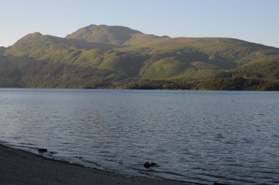
  • Wide views toward Ben Lomond

Heads up

  • A82 traffic noise reaches the shoreline

Map

Where it is

Loading the Loch Lomond & The Trossachs map
Full map
SightFirkin Point56.17072, -4.67769
Keep this map with you offline in the Parkwolf app

Plan your stop

Before you go

4 active Loch Lomond & The Trossachs alerts

  • CautionLoch Lomond navigation-aid defectsMentions Loch Lomond, referenced in this guideSeveral navigation aids and hazard marks on Loch Lomond are off station or have lighting discrepancies; boaters should account for them when navigating.Official details
  • CautionA82 restriction near Kings House HotelThe A82 is restricted in both directions near Kings House Hotel, Glencoe, because of planned roadworks. - Temporary traffic lights are in place; follow the traffic management.Official details

See all 4 alerts
A park ranger sits on a dash-mounted phone, talking, as Parkwolf’s Tour Guide plays “Army Cutworm Moths: A Grizzly Bear Buffet” on Grand Loop Road below Dunraven Pass in Yellowstone
Parkwolf Tour GuideThe highest, rockiest slopes around here are a summer buffet for grizzly bears.

Loch Lomond & The Trossachs Tour Guide

Your drive to Firkin Point, narrated.

Parkwolf is a GPS audio tour guide for Loch Lomond & The Trossachs National Park. As you drive, it chimes in with what’s ahead: hidden gems, upcoming stops, history, geology, and wildlife, right through your car’s speakers.

Recorded for this place

Firkin Point on Loch Lomond
0:00 / 0:21
“Up ahead is Firkin Point, an easy pull-off for Loch Lomond's shore and a view toward Ben Lomond.”

Plays as you drive up to Firkin Point in the Parkwolf Loch Lomond & The Trossachs Tour Guide.

More stories near here in the app

  • Scotland’s Rainforest Clues
  • The Osprey’s Return
  • The River Map Before the Loch
  • Ben Lomond from Rowardennan
  • 196 audio storiesacross Loch Lomond & The Trossachs’s roads, triggered by GPS as you drive
  • Wildlife heatmapsfor Golden Eagle, Red Deer, Mute Swan, and 13 more
  • Works offlinemaps, 93 trails, 73 places, and audio download before you lose signal
  • CarPlay readysimple controls built for the drive
★★★★★
“Fantastic app with many points of information… It’s great to just turn on while you’re driving and it gives you an audio tour of the national Park. We love it!!!!”
JMJamesApp Store review
Download Parkwolf on the App StoreGet Parkwolf on Google Play

4.7 from 8,600+ ratings

Guide

More about Firkin Point

An easy stop on the lochFirkin Point is a popular roadside viewpoint and picnic area on the west bank of Loch Lomond,…

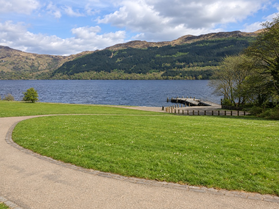
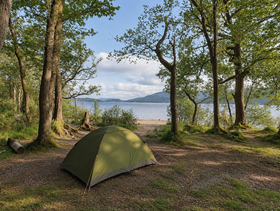
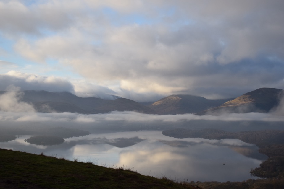
Firkin Point is a popular roadside viewpoint and picnic area on the west bank of Loch Lomond, roughly halfway between Inverbeg and Tarbet. You pull off the A82 to reach a patch of grass, picnic benches, and the shore, with the loch opening out toward Ben Lomond. I'd keep this one for a simple break with a big view, not as a destination hike. The road is close enough that traffic noise is part of the visit, but the water and mountains are right there.

The view and the pathThe best bit is the short walk from the car park to the loch edge.

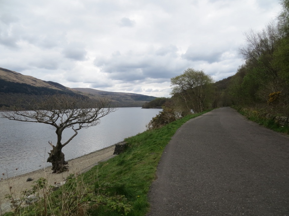
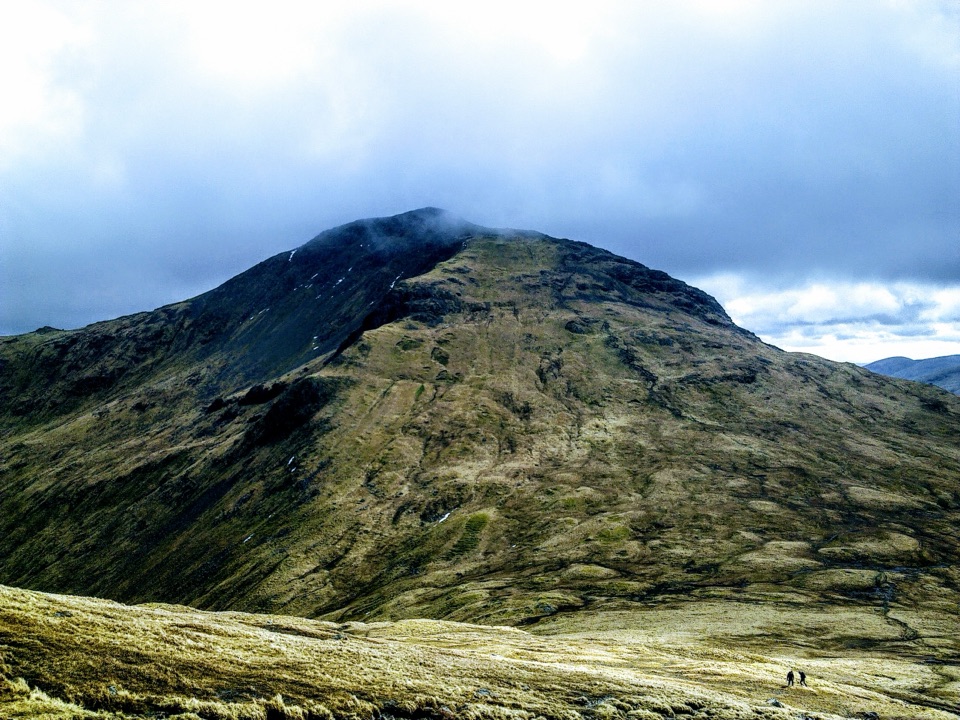
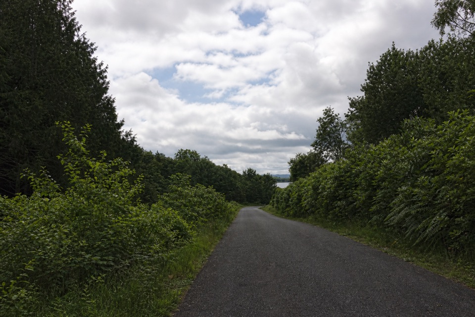
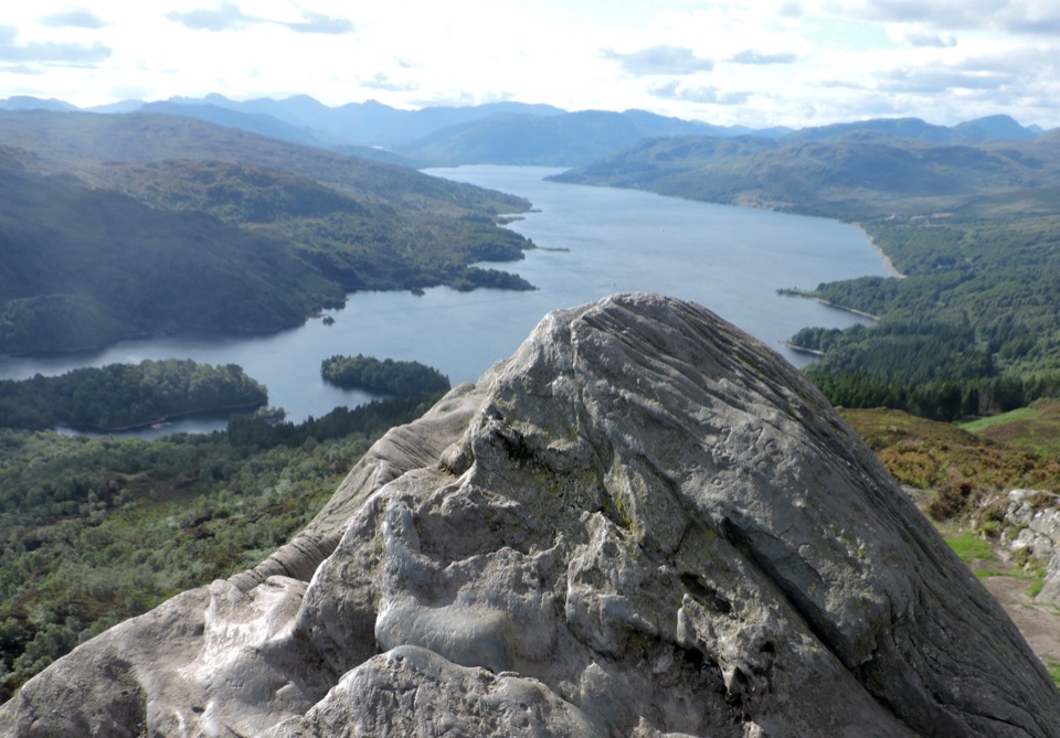
The best bit is the short walk from the car park to the loch edge. There's shingle at the shoreline and a level surfaced path that continues for about three miles north or south as part of the West Loch Lomond Cycle Path. The park describes the route as suitable for wheelchair users and families with prams, so this is one of the easier ways to get a proper lochside view without committing to a climb. At the water, look along the length of Loch Lomond toward the hills and Ben Lomond. The loch is Britain's largest inland stretch of water, extending 24 miles north from Balloch and dotted with more than 30 islands.

Make the stop workThe car park is free, and picnic benches and an accessible toilet are provided by the visitor…

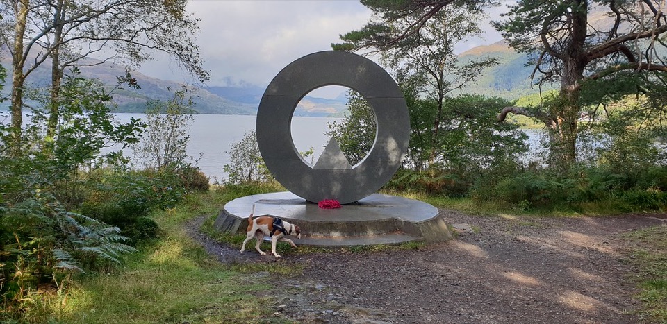
The car park is free, and picnic benches and an accessible toilet are provided by the visitor area. There is no verified café or current refreshment stop here, so plan it as a bring-your-own picnic rather than counting on buying lunch. The A82 gives it easy access from either direction, but it also means the shore path is not a silent escape. If you're driving north from Inverbeg or south from Tarbet, it's a good place to stretch your legs and get to the water without adding a long detour. For photos, walk to the shingle edge and use the water as a low foreground, with Ben Lomond or the wooded loch shores behind it. The gnarled shore tree can make a strong frame when it's visible.

Wildlife

Wildlife in Loch Lomond & The Trossachs

All Loch Lomond & The Trossachs wildlife maps

Sighting maps show where each species has been reported across Loch Lomond & The Trossachs. Wildlife moves, so no sighting is guaranteed.

Keep exploring

Near Firkin Point

See it all on the map

Trails nearby

More stops nearby

Parkwolf’s Loch Lomond & The Trossachs ranking

Top sights in Loch Lomond & The Trossachs

All 73 places
  1. 1Ben LomondSight
  2. 2Trossachs PierSight
  3. 3Conic HillSight
  4. 4Falls of DochartSight
  5. 5Ben A’anSight
  6. 6Bracklinn FallsSight

Take Parkwolf to Loch Lomond & The Trossachs.

The audio tour guide for the drive, plus offline maps, trails, and wildlife heatmaps for when the signal drops.

4.7 from 8,600+ ratings

Download Parkwolf on the App StoreGet Parkwolf on Google Play