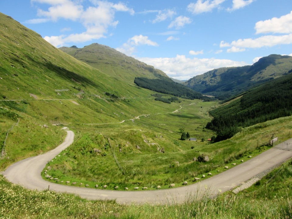
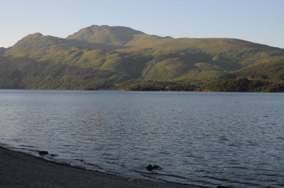
Beinn Narnain and Beinn Ìme in Loch Lomond & The Trossachs National Park

Loch Lomond & The Trossachs National Park, SC

Beinn Narnain and Beinn Ìme

A rough 13.8 km loop over two Arrochar Munros.

Photo: Wikimedia Commons
Length
13.8km
Time
6.5hr
Elev. change
960m
Difficulty
Challenging
  • Loop
  • Dogs allowed
  • High point 975 m
  • #13 of 93 in Loch Lomond & The Trossachs

Hear the audio tour

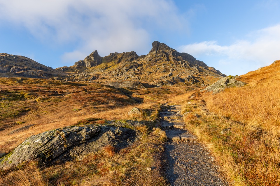
The Cobbler from Succoth

Overview

About Beinn Narnain and Beinn Ìme

Why go

  • Two Munro summits and broad sea-loch views
  • Hydro remains and the Narnain Boulders add memorable detail to the descent

Heads up

  • The unmarked Narnain branch is easy to miss
  • About 1,350 m of ascent, rough ground and a rocky gully make this a full day

Map & elevation

The route

Loading the Loch Lomond & The Trossachs map
Full map
Elevation15–975 m
TrailheadSuccoth Car Park56.20625, -4.75043
Keep this map with you offline in the Parkwolf app

Plan your hike

Before you go

Parking

Succoth Car Park lies beside the A83 at the south end of Succoth. Cross the road to reach the signed Cobbler path, then look for the early Narnain branch. A bus stop in Succoth village is roughly half a mile away; the A83/A814 junction in Arrochar is about a mile away.

Safety

The Spearhead gully is steep, rocky and hands-on. Wet rock, winter ice or poor visibility make it more serious, and the broad Beinn Ìme summit and upper junctions are difficult to navigate in cloud. Dogs are allowed under Scotland’s outdoor access rules when properly controlled.

4 active Loch Lomond & The Trossachs alerts

  • CautionA82 restriction near Kings House HotelThe A82 is restricted in both directions near Kings House Hotel, Glencoe, because of planned roadworks. - Temporary traffic lights are in place; follow the traffic management.Official details
  • ClosureDaytime A827 closure at KillinThe A827 at Killin is closed during the day for roadworks from 28 September through 9 October 2026. - Closure hours: 9:30am to 3:30pm; avoid the route during those hours.Official details
See all 4 alerts
A park ranger sits on a dash-mounted phone, talking, as Parkwolf’s Tour Guide plays “Army Cutworm Moths: A Grizzly Bear Buffet” on Grand Loop Road below Dunraven Pass in Yellowstone
Parkwolf Tour GuideThe highest, rockiest slopes around here are a summer buffet for grizzly bears.

Loch Lomond & The Trossachs Tour Guide

Your drive to Beinn Narnain and Beinn Ìme, narrated.

Parkwolf is a GPS audio tour guide for Loch Lomond & The Trossachs National Park. As you drive, it chimes in with what’s ahead: hidden gems, upcoming stops, history, geology, and wildlife, right through your car’s speakers.

Recorded for this trailhead

The Cobbler from Succoth
0:00 / 0:25
“You're approaching the Succoth trailhead for the Cobbler, the three-topped mountain above Loch Long. Allow five to six hours for the steep, six and a half mile return; the forest path becomes rough and rocky higher up.”

Plays as you drive up to this trailhead in the Parkwolf Loch Lomond & The Trossachs Tour Guide.

More stories near here in the app

  • The Bell That Hung in a Tree
  • The Sea at Arrochar
  • MacFarlane’s Lantern
  • Tarbet Pier and Loch Lomond Boats
  • 196 audio storiesacross Loch Lomond & The Trossachs’s roads, triggered by GPS as you drive
  • Wildlife heatmapsfor Golden Eagle, Red Deer, Mute Swan, and 13 more
  • Works offlinemaps, 93 trails, 73 places, and audio download before you lose signal
  • CarPlay readysimple controls built for the drive
★★★★★
“Fantastic app with many points of information… It’s great to just turn on while you’re driving and it gives you an audio tour of the national Park. We love it!!!!”
JMJamesApp Store review
Download Parkwolf on the App StoreGet Parkwolf on Google Play

4.7 from 8,600+ ratings

Trail guide

Hiking Beinn Narnain and Beinn Ìme

Two Munros, one full dayThe Succoth circuit is a 13.8 km (about 8.

The Succoth circuit is a 13.8 km (about 8.6 mi) loop over Beinn Narnain (926 m) and Beinn Ìme (1,011 m). You climb Narnain first, cross to Bealach a’ Mhaim, climb Ime, then descend through Allt a’ Bhalachain to the car park. Allow 6 to 7 hours and about 1,350 m of ascent. This is a tough day on rough mountain paths, with a short scramble and a couple of easy-to-miss turns, but it gives you two summits and a long look over Loch Long, the Arrochar Alps and the Cowal Peninsula.

Narnain is the rough startFrom Succoth Car Park, cross the A83 and take the marked Cobbler path.

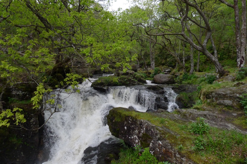
From Succoth Car Park, cross the A83 and take the marked Cobbler path. In just a few paces, before its first bend, the Narnain route peels off onto a muddy, unmarked line through undergrowth. It’s easy to miss. The path climbs steeply through ground that stays wet after rain, passing overgrown concrete squares left by a hydro project. Cross a track, then tackle a rocky step that can run like a small waterfall in wet weather. Higher up, the path becomes clearer and Loch Long with Ben Lomond behind it opens over your shoulder.

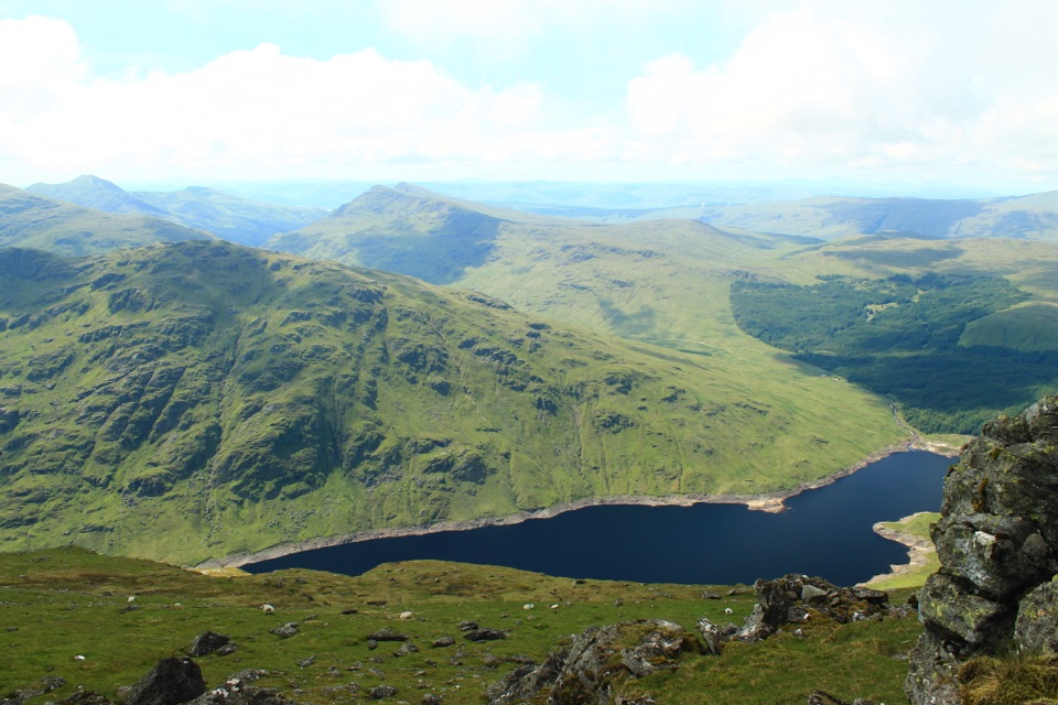
Keep straight uphill where a left branch traverses toward the Cobbler. A boggy patch and a few easy rocky scrambles lead to Cruach nam Miseag, then the path rises and falls before the Spearhead. Pass to the right of the buttress and climb the rock-filled gully to the trig point. It’s a hands-on section where wet rock, ice or poor visibility make the route more serious. From the summit, Loch Long runs toward the Firth of Clyde. Frame the loch from the trig point to show how it narrows toward the sea.

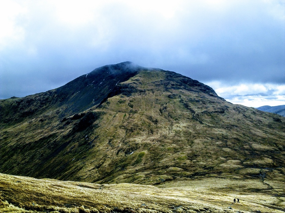
The crossing to Beinn ÌmeFrom Narnain's stony summit, cross the plateau, descend boulders and follow the clearer path…

From Narnain's stony summit, cross the plateau, descend boulders and follow the clearer path down to Bealach a’ Mhaim. The old direct line toward Ime is eroded; use the better path to the bealach between Narnain and the Cobbler, then turn right. The second summit is a long, broad grassy grind, gaining almost 400 m from the pass to its trig point at 1,011 m. Ime is the highest peak in the Arrochar Alps, and its wide top can be hard to pin down in cloud. An oval stone enclosure sits near the summit. It may mark the old boundary between Dalriada and Strathclyde, but that connection is uncertain. On a clear day the summit view stretches across the surrounding mountains, sea lochs and Cowal Peninsula.

After Ime, retrace the ascent to the bealach, then turn toward the glen instead of climbing the Cobbler spur.

The glen returnFrom the bealach, take the main path into Allt a’ Bhalachain, ignoring the steep Cobbler spur…

From the bealach, take the main path into Allt a’ Bhalachain, ignoring the steep Cobbler spur on the right and a later branch dropping from it. The improved glen path is easier underfoot, but crosses side streams on large stepping stones. You pass the two Narnain Boulders, where early Glasgow climbers reportedly sheltered while exploring the Cobbler's cliffs, then a small hydro dam. Follow the main route past felled trees and down its zigzags to the road opposite Succoth Car Park.

The final walkout comes after both summits, so don't underestimate it. Navigation matters most at the muddy unmarked start and the upper junctions. The nearest bus stop is in Succoth, about half a mile from the car park; another is at the A83/A814 junction in Arrochar, roughly a mile away. Dogs are allowed under Scotland's outdoor access rules, but keep them in sight and under proper control; use a lead whenever in doubt.

Wildlife

Wildlife in Loch Lomond & The Trossachs

All Loch Lomond & The Trossachs wildlife maps

Sighting maps show where each species has been reported across Loch Lomond & The Trossachs. Wildlife moves, so no sighting is guaranteed.

Keep exploring

Near Beinn Narnain and Beinn Ìme

See it all on the map

Trails that start nearby

Places near the trailhead

Parkwolf’s Loch Lomond & The Trossachs ranking

Top-rated trails in Loch Lomond & The Trossachs

All 93 trails
  1. 1West Highland WayChallenging · 154.5 km
  2. 2Ben Lomond from RowardennanChallenging · 12.9 km
  3. 3Ben A’anModerate · 3.7 km
  4. 4Conic HillModerate · 4 km
  5. 5The CobblerChallenging · 10.5 km
  6. 6The Great Trossachs PathModerate · 48.3 km

Take Parkwolf to Loch Lomond & The Trossachs.

The audio tour guide for the drive, plus offline maps, trails, and wildlife heatmaps for when the signal drops.

4.7 from 8,600+ ratings

Download Parkwolf on the App StoreGet Parkwolf on Google Play