Parking
Free parking at Firkin Point off the A82, beside the picnic area, benches and accessible toilets.
Loch Lomond & The Trossachs National Park, SC
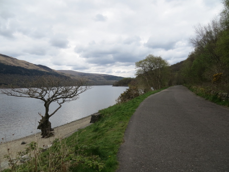
A level lochside path with Ben Lomond across the water.
Overview
Map & elevation
Plan your hike

The highest, rockiest slopes around here are a summer buffet for grizzly bears.
Loch Lomond & The Trossachs Tour Guide
Parkwolf is a GPS audio tour guide for Loch Lomond & The Trossachs National Park. As you drive, it chimes in with what’s ahead: hidden gems, upcoming stops, history, geology, and wildlife, right through your car’s speakers.
Recorded for this trailhead
Firkin Point on Loch Lomond“Up ahead is Firkin Point, an easy pull-off for Loch Lomond's shore and a view toward Ben Lomond.”
Plays as you drive up to this trailhead in the Parkwolf Loch Lomond & The Trossachs Tour Guide.
More stories near here in the app
“Fantastic app with many points of information… It’s great to just turn on while you’re driving and it gives you an audio tour of the national Park. We love it!!!!”


Trail guide
Firkin Point Lochside Walk is a roughly 5.4-mile out-and-back from Firkin Point to Tarbet and back, following the level, surfaced West Loch Lomond Cycle Path. The northbound leg is about three miles; the mapped line to Tarbet measures 2.72 miles one way. It is a good choice for an easy, longer walk by Loch Lomond, with Ben Lomond visible from the viewpoint at Firkin Point.
Head north from the car park toward Tarbet, then return the same way. This is a shared cycle path, so expect bikes as well as walkers. The approach into Tarbet finishes on a short stretch of pavement beside the A82; take care around traffic there. Allow about two and a half hours, including a stop by the loch.
There is free parking at Firkin Point, next to a picnic area, benches and accessible toilets. Take a few minutes at the start: the surfaced path makes a useful foreground for the view across Loch Lomond toward Ben Lomond. Dogs are allowed under Scotland's normal access rules when kept under proper control.
Wildlife
 14 sightingsGolden EagleMost seen around 6 PMSighting map
 37 sightingsRed DeerMost seen around 7 PMSighting map
 100 sightingsMute SwanMost seen around 11 AMSighting map
 48 sightingsOspreyMost seen around 6 PMSighting map
 24 sightingsEurasian BeaverMost seen around 8 PMSighting map
 37 sightingsEurasian Pine MartenMost seen around 7 PMSighting map
Sighting maps show where each species has been reported across Loch Lomond & The Trossachs. Wildlife moves, so no sighting is guaranteed.
Keep exploring
 ChallengingBen Lomond from Rowardennan12.9 km · 5 hr · 3 km awayA long climb to a trig point with Loch Lomond spread below.
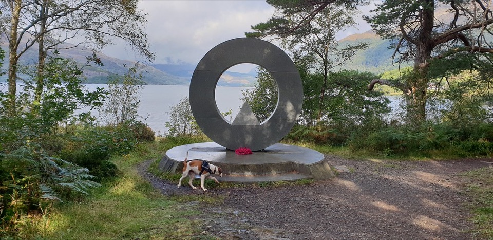 EasyBen Lomond Memorial Trail0.4 km · 15 min · 3 km awayA stone ring frames Ben Vorlich across Loch Lomond.
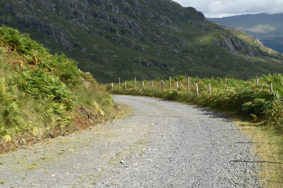 ModerateGlen Loin and Coiregrograin Walking Circuit17.7 km · 5 hr · 5.7 km awayA full Highland glen circuit with Ben Lomond and Loch Long views.
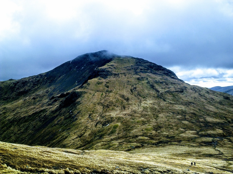 ChallengingBeinn Narnain and Beinn Ìme13.8 km · 6.5 hr · 6 km awayA rough 13.8 km loop over two Arrochar Munros.
 ChallengingThe Cobbler10.5 km · 5.5 hr · 6 km awayStone steps lead to an airy summit beside a dramatic overhang.
 ChallengingThe Brack from Ardgartan7.2 km · 4.5 hr · 7.5 km awayA steep Corbett climb that earns its views over Loch Long.
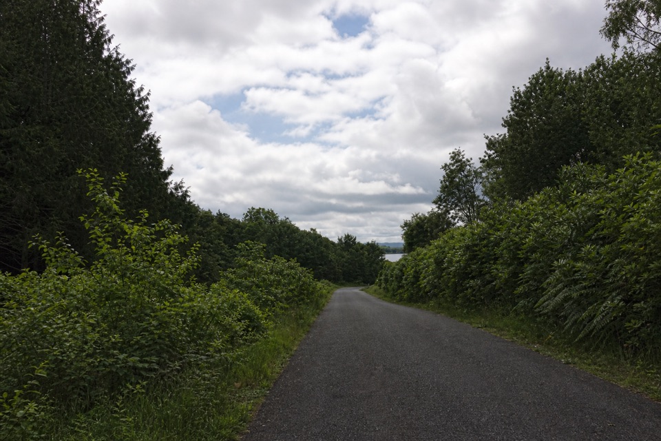 EasyBirch Path: Memorial and Pond1 km · 30 min · 7.7 km awayA pond, old birches and a memorial in one easy kilometre.
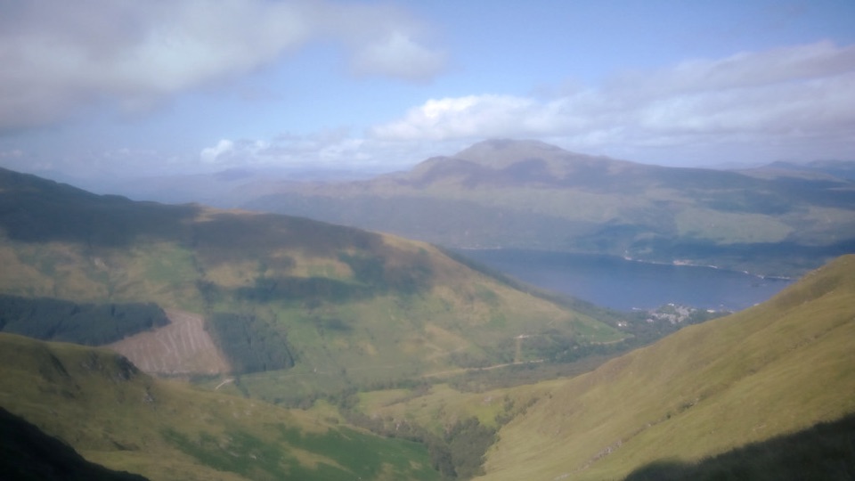 ChallengingBeinn Dubh–Glen Striddle Horseshoe11.6 km · 4.5 hr · 7.9 km awayLoch Lomond views reward a long, boggy horseshoe above the village.
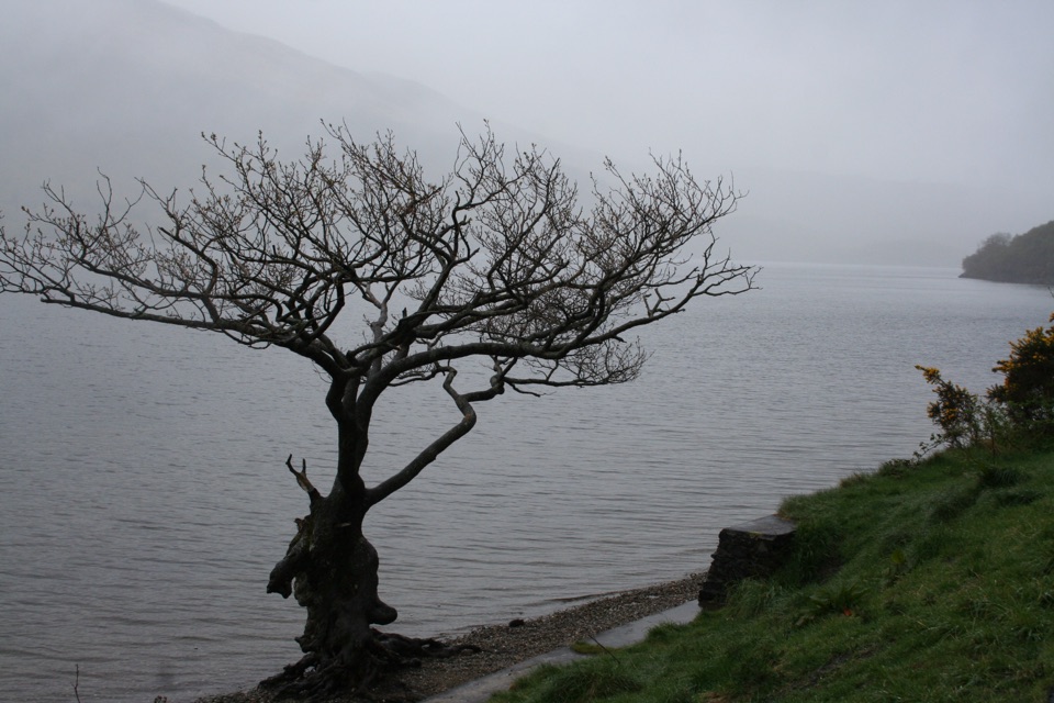 Sight · At the trailheadFirkin PointA lochside stop with Ben Lomond views and a long flat path.
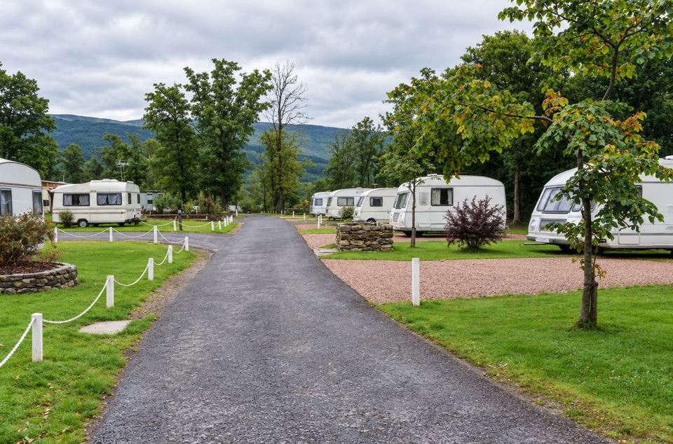 Lodging · 2.8 km awayInverbeg Holiday ParkA lochside base with lodges, a play area and an on-site shop.
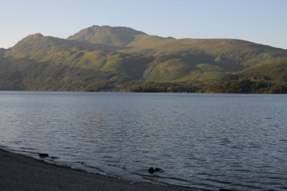 Sight · 3.5 km awayBen LomondA hard climb to a summit with Loch Lomond spread below.
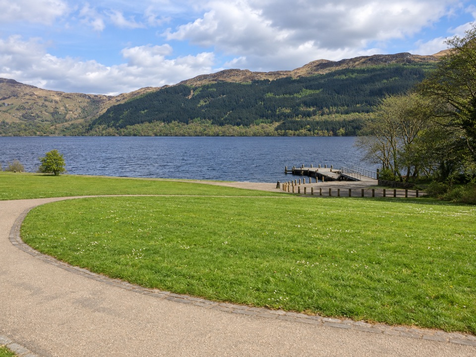 Sight · 4 km awayTarbet Pier and Picnic AreaBoard a circular cruise, or just take a short lochside break
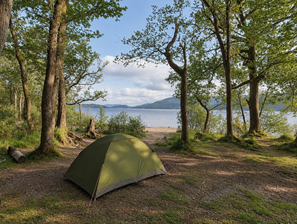 Campground · 6.5 km awaySallochy CampsiteTent-only pitches by old oak woodland on the loch shore
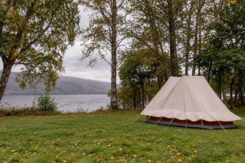 Campground · 7.5 km awayLuss Caravan & CampsiteGrassy pitches on the loch shore, short walk into Luss village
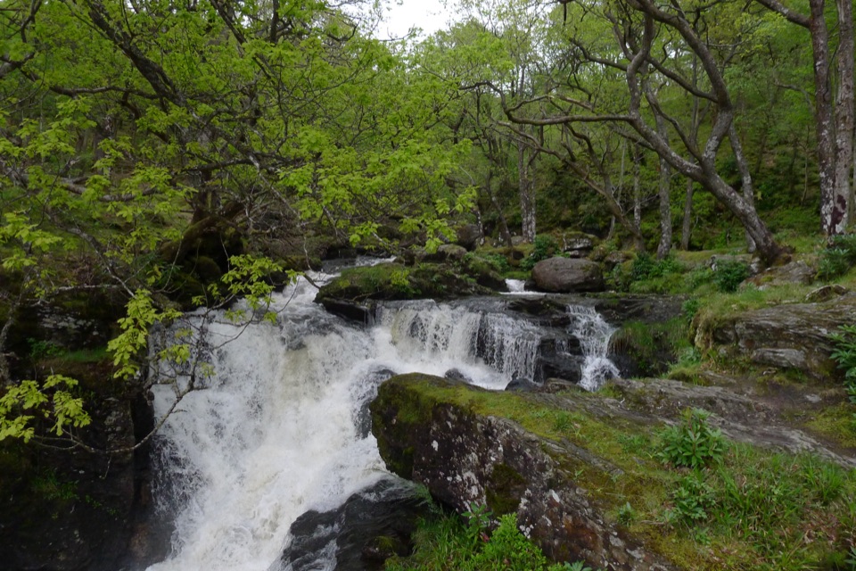 Sight · 8 km awayInversnaid FallsA footbridge brings you close to the tumbling Arklet Burn.
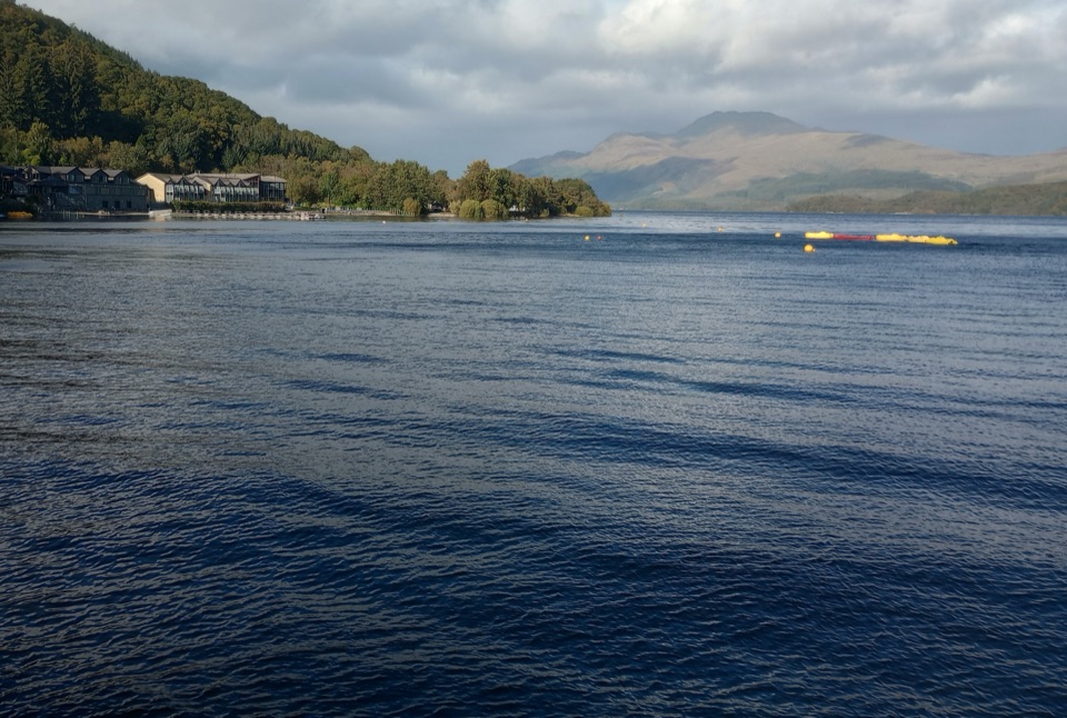 Sight · 8 km awayLuss Pier and LochshoreA pier, beach and village view that makes Loch Lomond feel close.
Parkwolf’s Loch Lomond & The Trossachs ranking

The audio tour guide for the drive, plus offline maps, trails, and wildlife heatmaps for when the signal drops.



