Getting there
Allow about 25 minutes to drive west from the park Visitor Center. Route directions warn that phone GPS can be misleading on the way here, so check the directions before setting out.
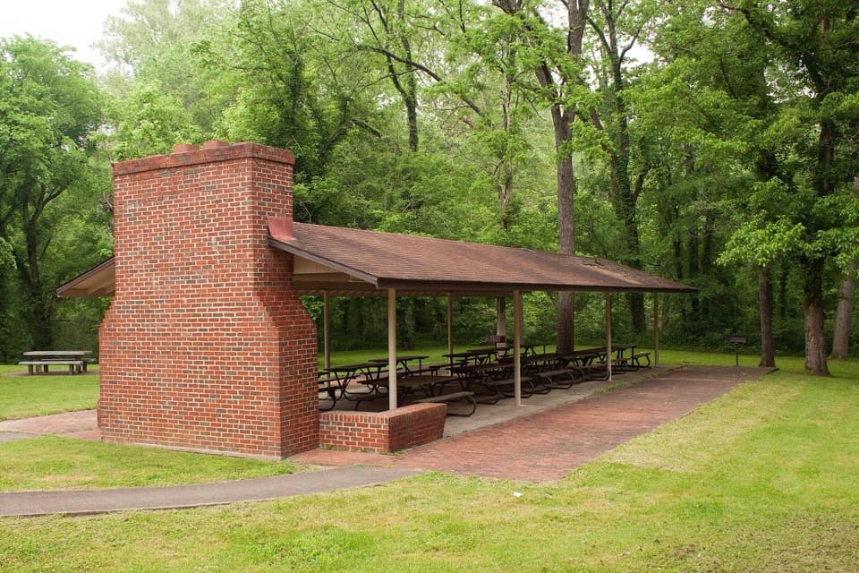
Picnic area · Mammoth Cave National Park
A shady Green River picnic stop at Mammoth Cave’s former ferry landing.
Overview
Map
Plan your stop

The highest, rockiest slopes around here are a summer buffet for grizzly bears.
Mammoth Cave Tour Guide
Parkwolf is a GPS audio tour guide for Mammoth Cave National Park. As you drive, it chimes in with what’s ahead: hidden gems, upcoming stops, history, geology, and wildlife, right through your car’s speakers.
Recorded for this place
Houchin Ferry Picnic Area“You're nearing Houchin Ferry Picnic Area, a shady place for lunch beside the Green River.”
Plays as you drive up to Houchin Ferry Picnic Area in the Parkwolf Mammoth Cave Tour Guide.
More stories near here in the app
“Fantastic app with many points of information… It’s great to just turn on while you’re driving and it gives you an audio tour of the national Park. We love it!!!!”


Guide
Houchin Ferry Picnic Area is a wooded day-use spot on the Green River’s south bank, with picnic tables, benches, grills and a covered shelter. It works for an easy riverside meal or as a launch for a canoe or kayak. The overnight campground is right next door but is a separate place, so keep its campsites and camper facilities separate from this stop. There is no active ferry here, so this isn’t a river crossing.
Bring your own meal; there’s no food service. The picnic area has potable water and portable toilets, plus a covered shelter with a fireplace and charcoal grills. Park rules allow camp stoves and self-contained charcoal grills; fires are allowed only in park-provided grills. There are no designated hiking trails here, so come for the picnic and river access rather than a walk in the woods.
The Houchin Ferry to Brownsville paddle is 3.6 miles and usually takes 1.5 to 2 hours, ending near the former Lock and Dam No. 6 site or at Brownsville’s boat ramp. It’s considered flat water, but the current can still run swiftly, with submerged trees, rocks, drifting debris and logjams as hazards. The park recommends prior paddling experience and lists the outing for summer.
Houchin Ferry once connected Brownsville directly with northeastern Edmonson County. The vehicle ferry was put out of service in 2013. After Lock and Dam No. 6 was breached in 2016 and later removed, river levels fell by 8 to 10 feet and the crossing was no longer reliable. The landing remains a useful picnic and boat-access stop, but the ferry itself is part of the area’s history.
Wildlife
 228 sightingsWhite-tailed DeerMost seen around 7 AMSighting map
 23 sightingsTricolored BatMost seen around 8 PMSighting map
 75 sightingsCave SalamanderMost seen around 6 PMSighting map
 151 sightingsWild TurkeyMost seen around 7 AMSighting map
 13 sightingsBarred OwlMost seen around 7 PMSighting map
 40 sightingsSnapping TurtleMost seen around 11 AMSighting map
Sighting maps show where each species has been reported across Mammoth Cave. Wildlife moves, so no sighting is guaranteed.
Keep exploring
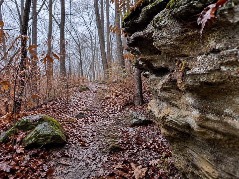 ChallengingMcCoy Hollow Trail6.4 mi · 3.5 hr · 1.5 mi awayRavine after ravine on a rugged, one-way backcountry route.
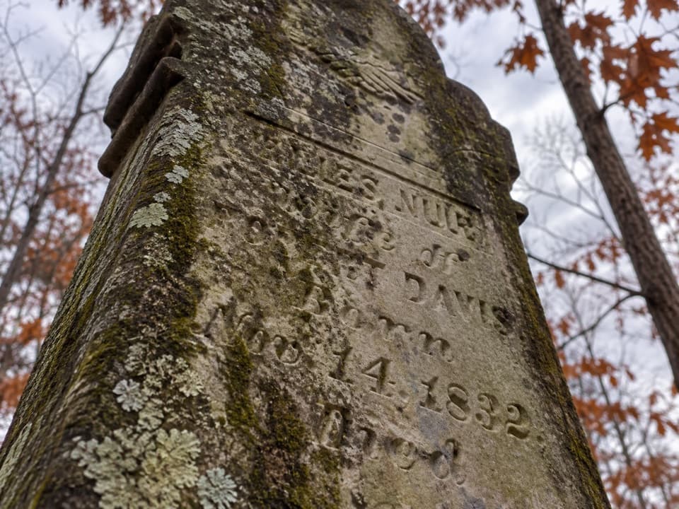 EasyMiles-Davis Cemetery Trail0.5 mi · 30 min · 3.3 mi awayA short cemetery spur tucked deep in the backcountry.
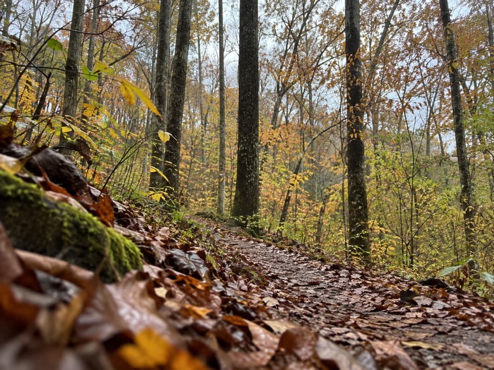 ModerateFirst Creek Trail6.3 mi · 3.5 hr · 3.8 mi awayA wooded backcountry crossing with Nolin River views.
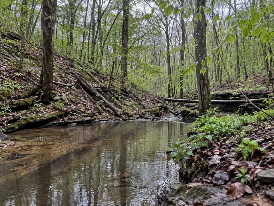 ChallengingFirst Creek Trail, McCoy Hollow Trail and Wet Prong Trail Loop16.4 mi · 8 hr · 3.8 mi awayA full-day loop through backcountry creeks and rugged ravines.
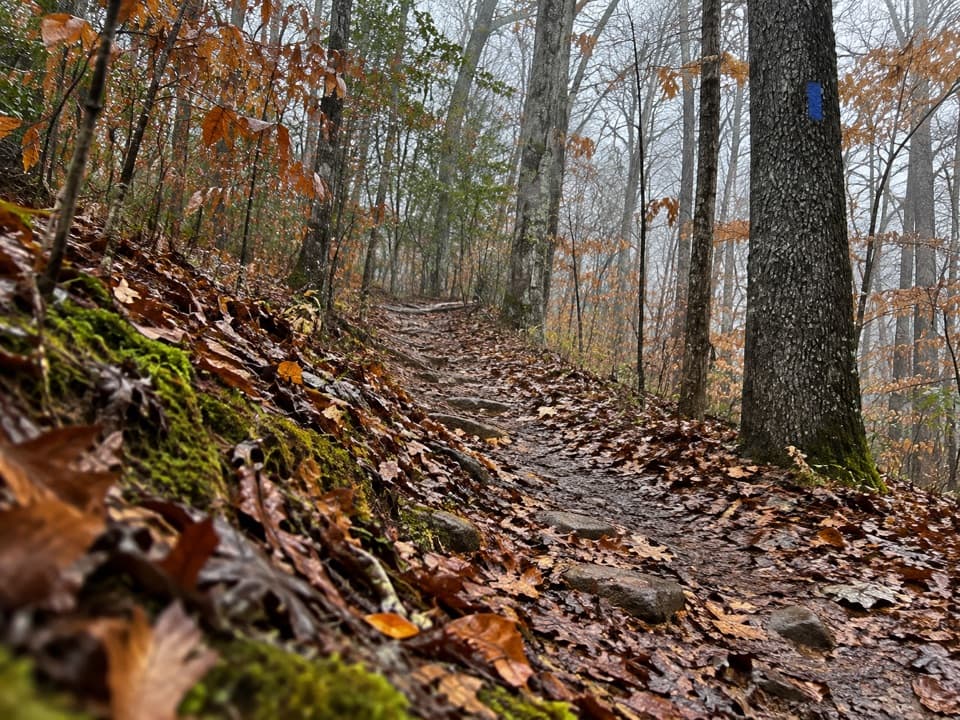 ModerateWet Prong Trail4.6 mi · 2.5 hr · 3.9 mi awayA wooded backcountry traverse with creek crossings and blue blazes
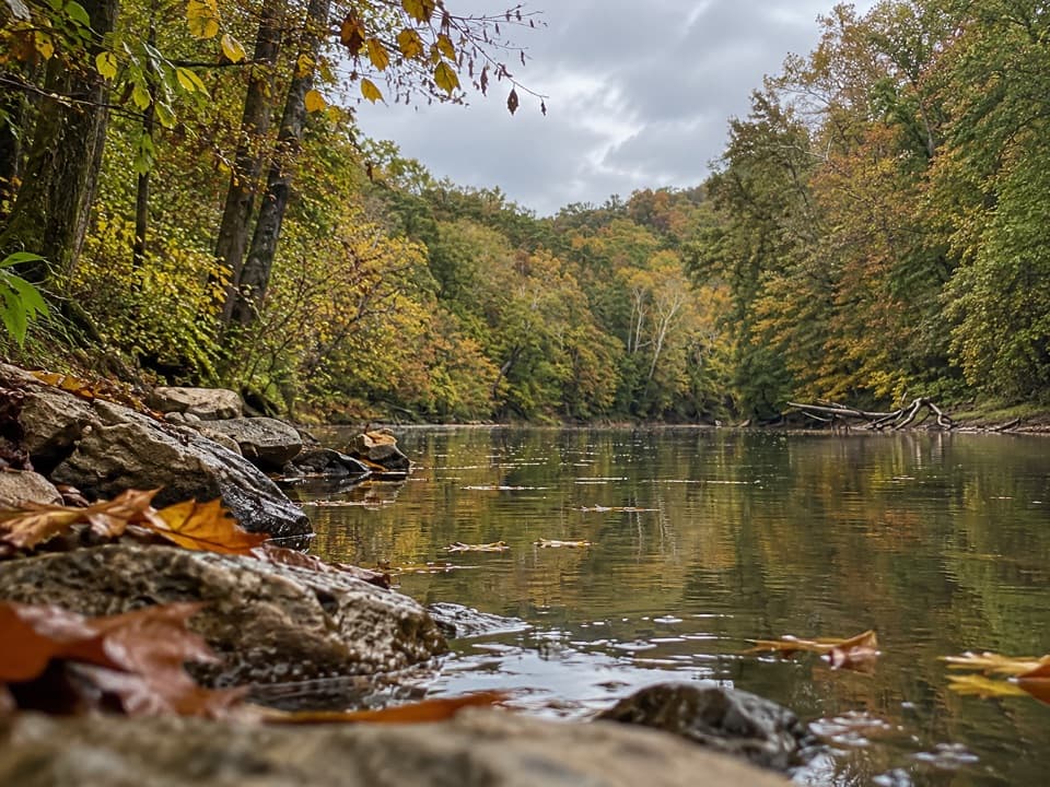 ModerateBlair Springs Hollow Trail1.8 mi · 1 hr · 4.2 mi awayCreek crossing, hollow tread, and a steady climb through backcountry.
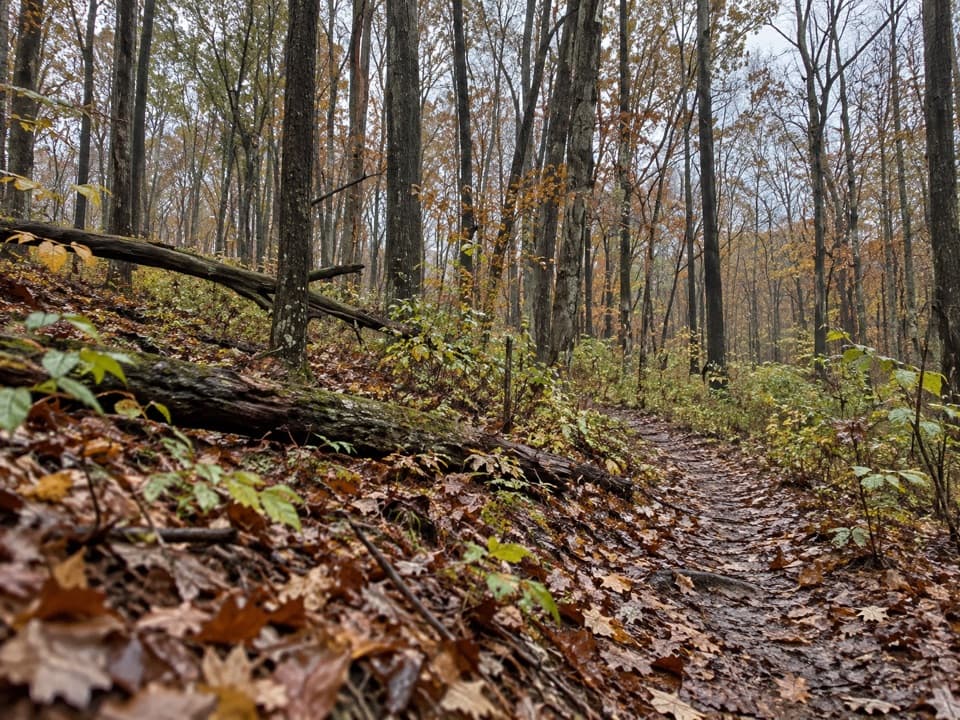 ModerateDry Prong Trail2.4 mi · 1.5 hr · 4.4 mi awayA rough connector best folded into a longer backcountry hike.
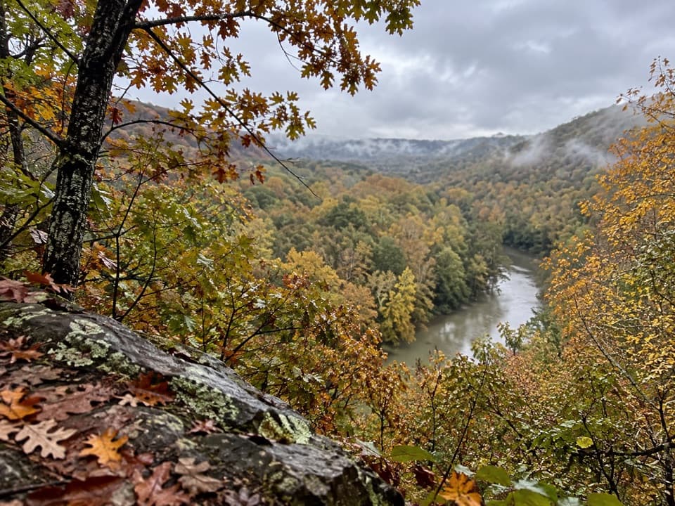 ModerateTurnhole Bend Trail1.8 mi · 1 hr · 4.5 mi awayA backcountry camp route with one steep ravine at the end.
Parkwolf’s Mammoth Cave ranking

The audio tour guide for the drive, plus offline maps, trails, and wildlife heatmaps for when the signal drops.