Parking
Start at Temple Hill Trailhead on Houchin Ferry Road. The gravel lot is small; its capacity and overflow options were not documented.
Mammoth Cave National Park, KY
Ravine after ravine on a rugged, one-way backcountry route.
Overview
Map & elevation
Plan your hike

The highest, rockiest slopes around here are a summer buffet for grizzly bears.
Mammoth Cave Tour Guide
Parkwolf is a GPS audio tour guide for Mammoth Cave National Park. As you drive, it chimes in with what’s ahead: hidden gems, upcoming stops, history, geology, and wildlife, right through your car’s speakers.
Recorded for this trailhead
Temple Hill Trailhead and McCoy Hollow“Temple Hill Trailhead is ahead, for McCoy Hollow's wooded ridges and creek ravines. I'd save this for a planned backcountry hike: steep, rocky gullies and repeated climbs make it more than a casual forest stroll.”
Plays as you drive up to this trailhead in the Parkwolf Mammoth Cave Tour Guide.
More stories near here in the app
“Fantastic app with many points of information… It’s great to just turn on while you’re driving and it gives you an audio tour of the national Park. We love it!!!!”


Trail guide
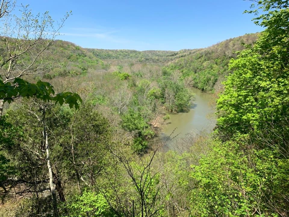
McCoy Hollow Trail is a 6.4-mile, one-way walk from Temple Hill Trailhead to a junction with Wet Prong Trail. The route follows wooded ridges above creek ravines; it is a rough backcountry traverse, not a loop. Allow about three to four hours one way. The far end is another trail junction, not a parking lot, so arrange a ride or return along the same path for a 12.8-mile day.
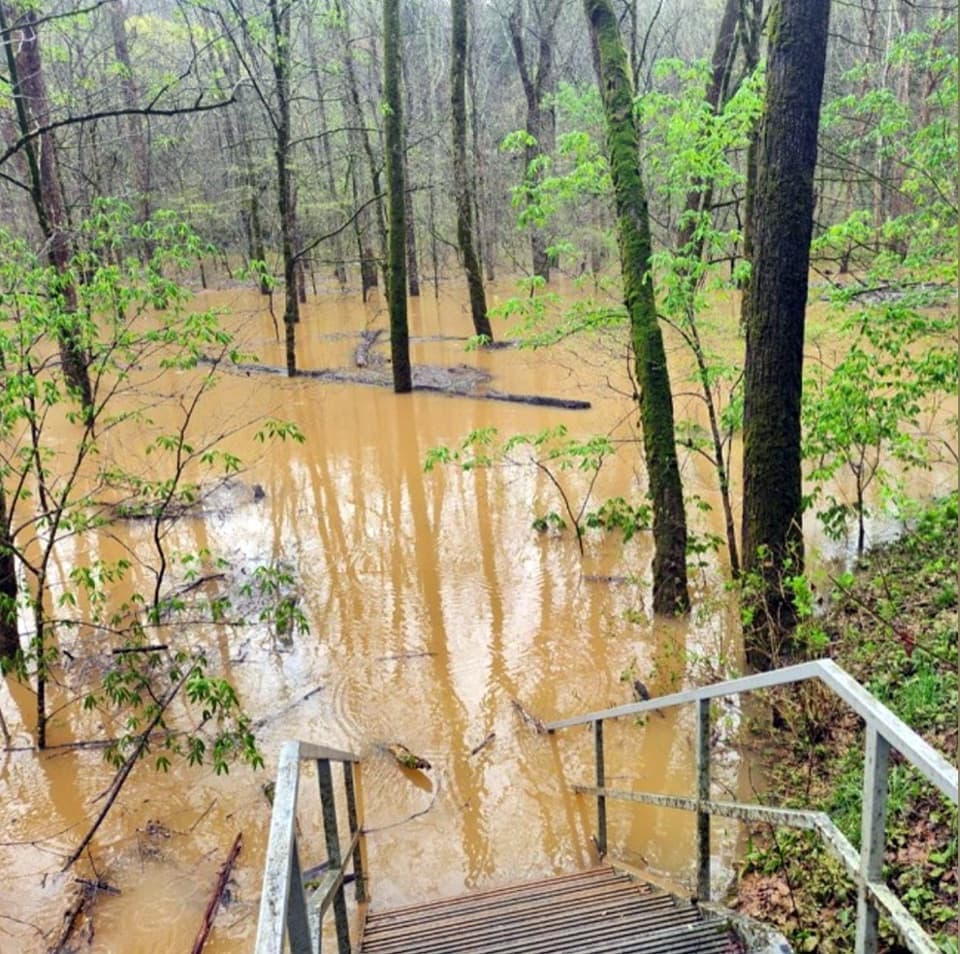
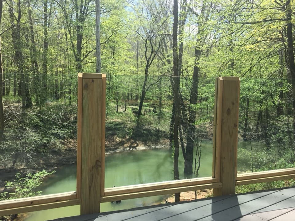
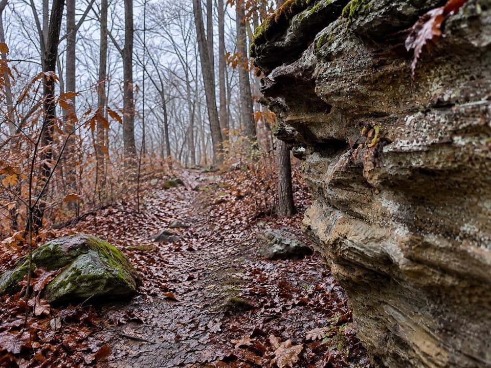
The trail drops through a narrow, rocky gully near Temple Hill, then rises and falls along ridges around several ravines. Expect uneven tread, short steep climbs and eroded edges. A 2024 trail account describes a sharp left turn near a rock ledge around mile 4.25, while an unofficial path continues straight. A 2021 inventory counted 123 visitor-made paths in this corridor, some hard to distinguish from the marked trail. Carry the current park map and stay on the designated line.
The hike-in McCoy Hollow campsite branches off the route about 4.3 miles from Temple Hill, including its short spur. It is a separate, single campsite rather than a trail facility; check current backcountry and reservation rules before planning an overnight.
The park's current backcountry list still describes the full Temple Hill–Wet Prong corridor as 6.4 miles. A 2024 trail-plan draft proposed retiring 2.3 miles, and I could not confirm which changes have been completed on the ground. Check the latest park map before relying on the entire route. Leashed pets are allowed on park surface trails; keep them on a leash no longer than six feet, and give horseback riders room to pass.
Wildlife
 228 sightingsWhite-tailed DeerMost seen around 7 AMSighting map
 23 sightingsTricolored BatMost seen around 8 PMSighting map
 75 sightingsCave SalamanderMost seen around 6 PMSighting map
 151 sightingsWild TurkeyMost seen around 7 AMSighting map
 13 sightingsBarred OwlMost seen around 7 PMSighting map
 40 sightingsSnapping TurtleMost seen around 11 AMSighting map
Sighting maps show where each species has been reported across Mammoth Cave. Wildlife moves, so no sighting is guaranteed.
Keep exploring
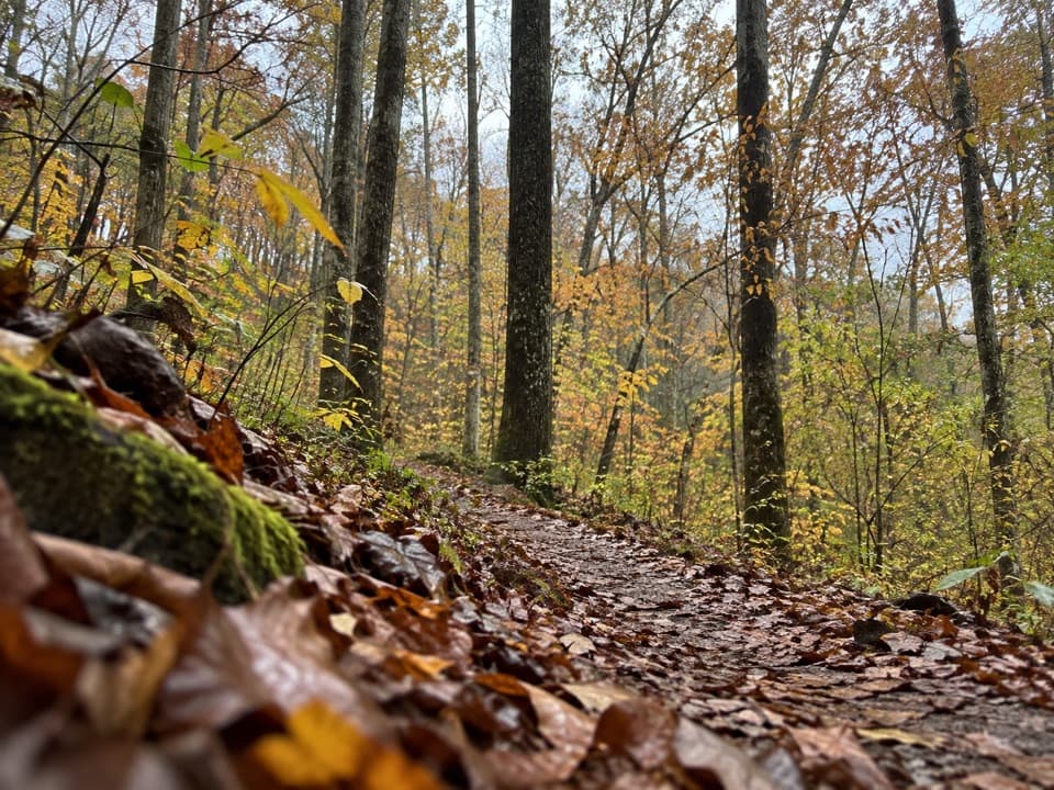 ModerateFirst Creek Trail6.3 mi · 3.5 hr · 2.4 mi awayA wooded backcountry crossing with Nolin River views.
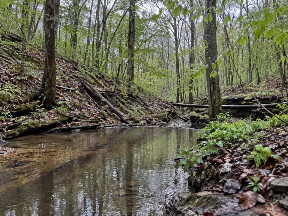 ChallengingFirst Creek Trail, McCoy Hollow Trail and Wet Prong Trail Loop16.4 mi · 8 hr · 2.4 mi awayA full-day loop through backcountry creeks and rugged ravines.
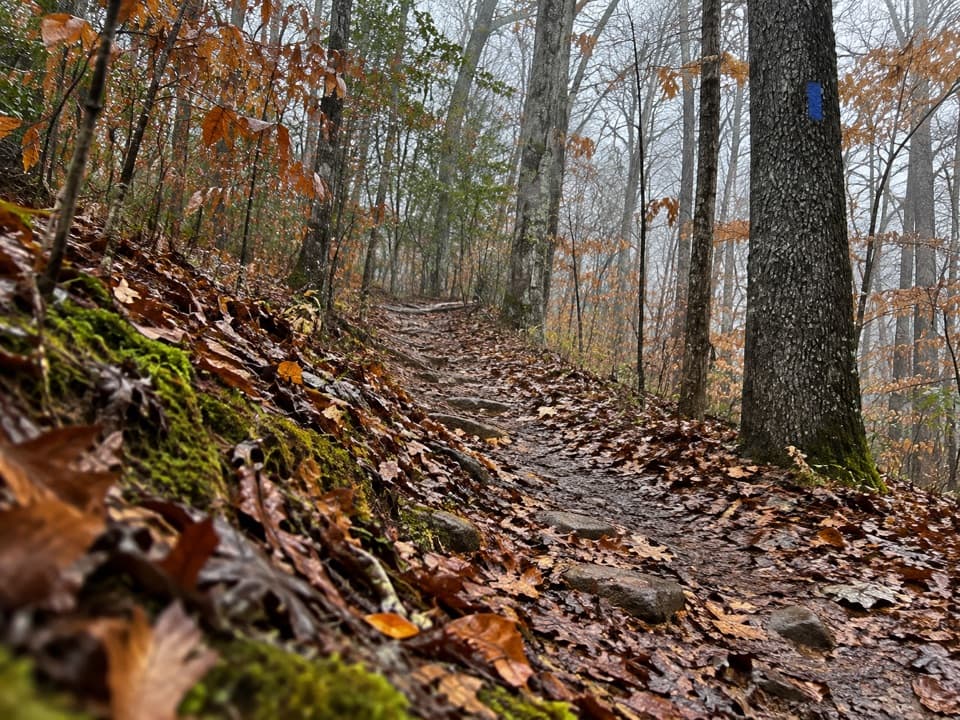 ModerateWet Prong Trail4.6 mi · 2.5 hr · 2.4 mi awayA wooded backcountry traverse with creek crossings and blue blazes
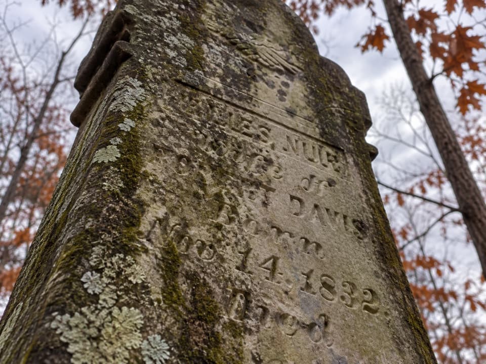 EasyMiles-Davis Cemetery Trail0.5 mi · 30 min · 2.7 mi awayA short cemetery spur tucked deep in the backcountry.
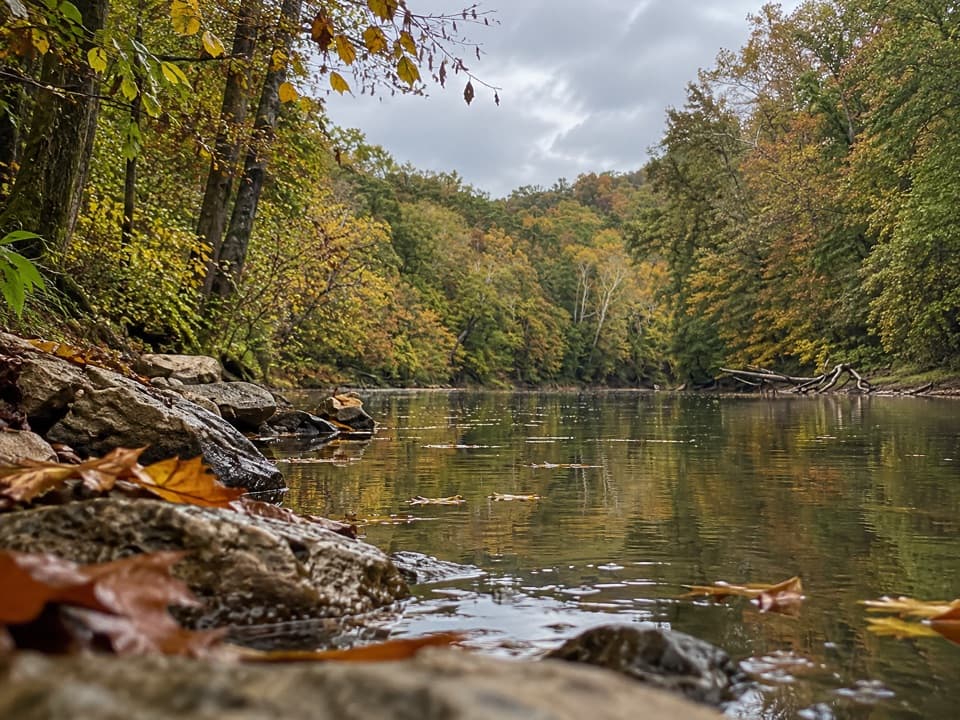 ModerateBlair Springs Hollow Trail1.8 mi · 1 hr · 2.9 mi awayCreek crossing, hollow tread, and a steady climb through backcountry.
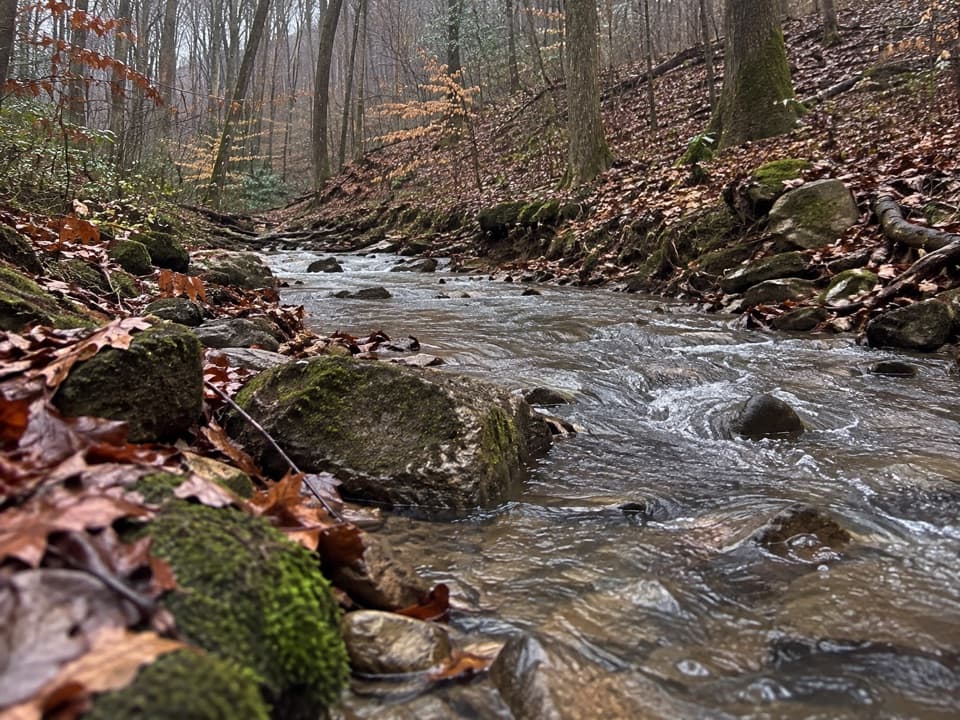 ModerateMill Branch Trail3 mi · 2 hr · 3.5 mi awayA rough three-mile link with a creekbed turn to catch.
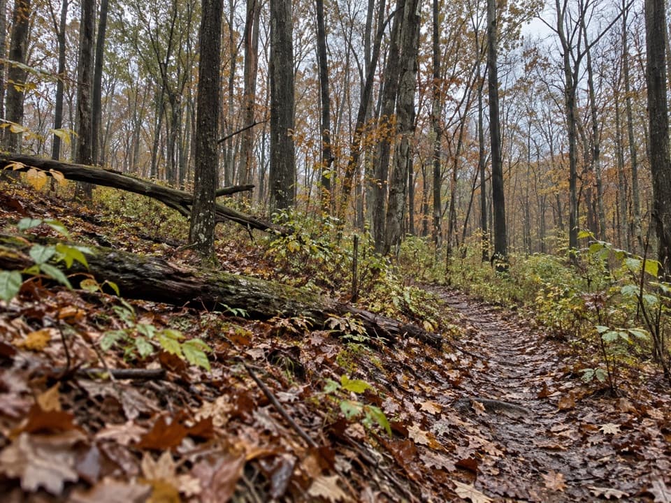 ModerateDry Prong Trail2.4 mi · 1.5 hr · 3.8 mi awayA rough connector best folded into a longer backcountry hike.
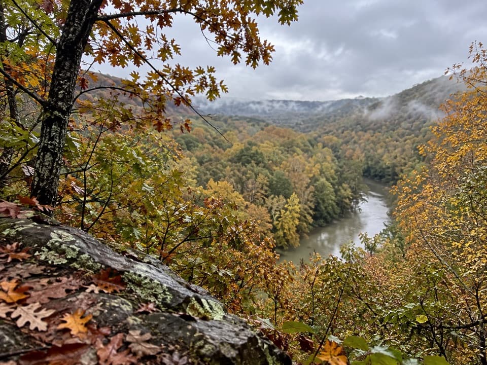 ModerateTurnhole Bend Trail1.8 mi · 1 hr · 3.9 mi awayA backcountry camp route with one steep ravine at the end.
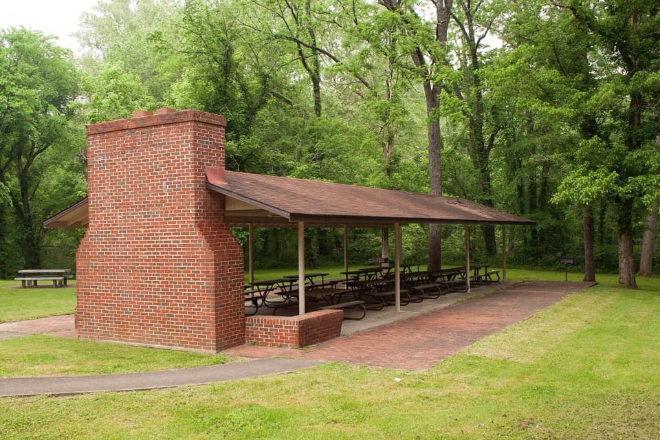 Picnic area · 1.5 mi awayHouchin Ferry Picnic AreaA shady Green River picnic stop at Mammoth Cave’s former ferry landing.
 Campground · 1.5 mi awayHouchin Ferry CampgroundA tent camp on the Green River, with a public boat launch.
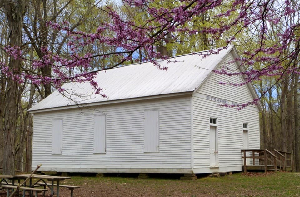 Sight · 4.1 mi awayGood Spring Baptist Church & CemeteryA small church and cemetery preserve the lost Cade community.
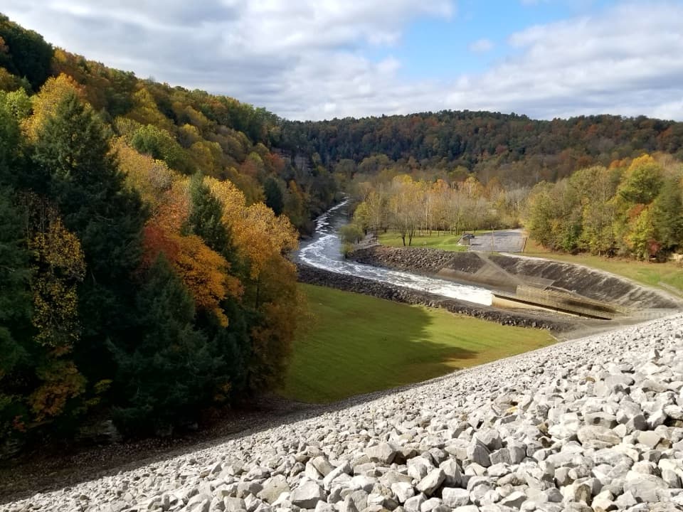 Sight · 4.2 mi awayNolin River Tailwater Recreation AreaA useful launch, picnic stop and gateway to the Nolin River.
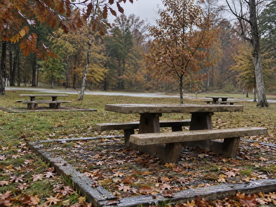 Picnic area · 4.7 mi awayMaple Springs Day Use AreaPicnic tables with access to north-side hiking and horse trails.
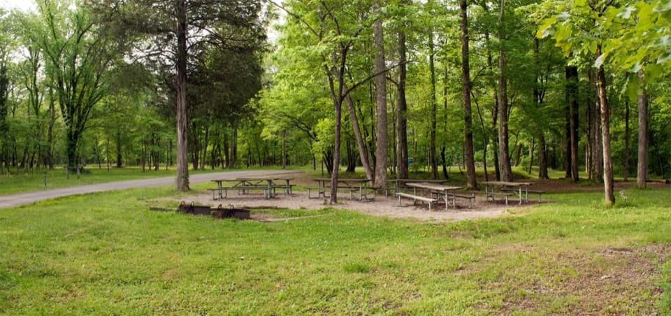 Campground · 4.8 mi awayMaple Springs Group CampgroundA quiet base for group camping near northern backcountry trails.
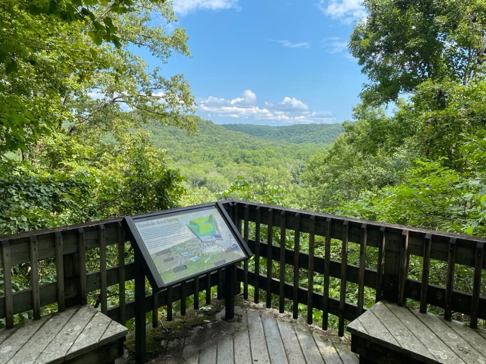 Sight · 5.1 mi awayTurnhole Bend OverlookA half-mile loop pairs sinkhole geology with a riverboat-era story.
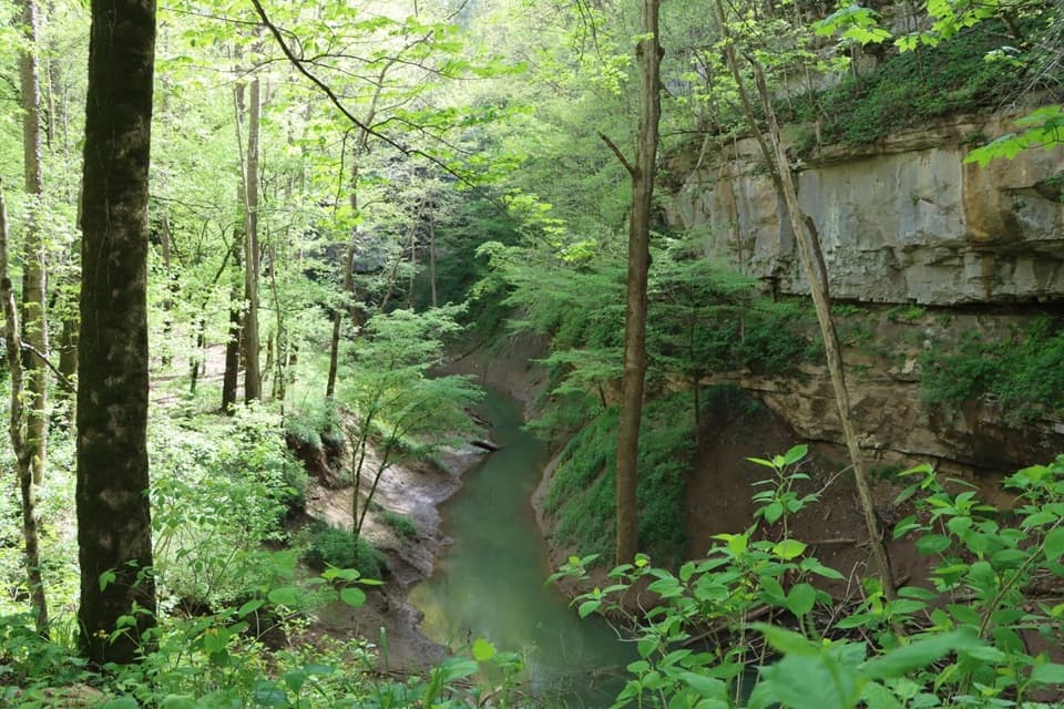 Sight · 6.1 mi awayCedar SinkNearly 300 stairs lead into a forested sinkhole.
Parkwolf’s Mammoth Cave ranking

The audio tour guide for the drive, plus offline maps, trails, and wildlife heatmaps for when the signal drops.