Parking
Start and finish at the First Creek Trailhead parking area. This recorded loop begins at First Creek, though Temple Hill is another access point on the circuit.
Mammoth Cave National Park, KY
A full-day loop through backcountry creeks and rugged ravines.
Overview
Do this if you want a long, rugged circuit through several named backcountry corridors and are comfortable with creek crossings and route-finding. Skip it if you need a quick hike, an easy tread, or a dependable turnaround time; the distance and ravine climbs make it a full-day commitment.
 Parkwolf’s verdictWho should take it on
Map & elevation
Plan your hike

The highest, rockiest slopes around here are a summer buffet for grizzly bears.
Mammoth Cave Tour Guide
Parkwolf is a GPS audio tour guide for Mammoth Cave National Park. As you drive, it chimes in with what’s ahead: hidden gems, upcoming stops, history, geology, and wildlife, right through your car’s speakers.
Recorded for this trailhead
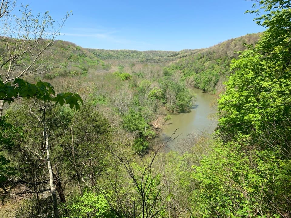
First Creek Trailhead“First Creek Trailhead is ahead, a starting point for a long woodland hike with Nolin River views.”
Plays as you drive up to this trailhead in the Parkwolf Mammoth Cave Tour Guide.
More stories near here in the app
“Fantastic app with many points of information… It’s great to just turn on while you’re driving and it gives you an audio tour of the national Park. We love it!!!!”


Trail guide
This is a roughly 16-mile circuit through Mammoth Cave’s western backcountry, joining First Creek, McCoy Hollow, and Wet Prong. Start and finish at First Creek Trailhead: follow First Creek to Temple Hill, take McCoy Hollow to its Wet Prong junction, then head north on Wet Prong to close the loop. It’s a linked trail circuit, not three out-and-back hikes. Published totals range from about 15.7 to 16.4 miles, so plan for the longer figure. Allow around eight hours for the distance and rough ground.
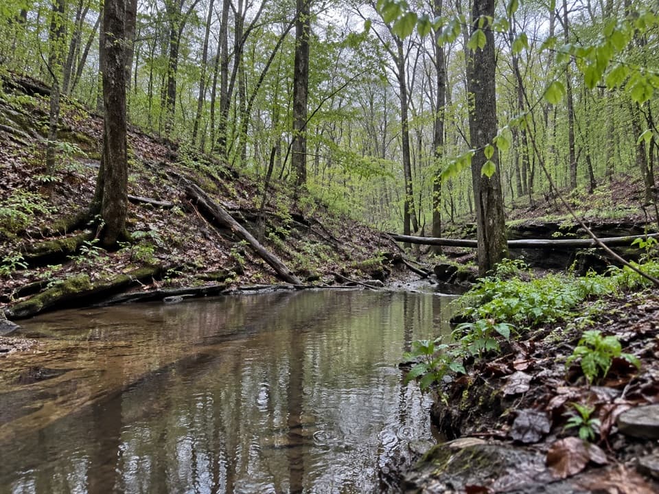
First Creek follows wooded hillsides beside the Nolin River, with creek views and spring wildflowers along the way to Temple Hill. McCoy Hollow drops into a narrow, horse-worn gully, then repeatedly climbs in and out of ravines. Expect uneven, rocky footing rather than a smooth park path; muddy and overgrown stretches have been reported on this corridor. This is a hard day even before you add stops.
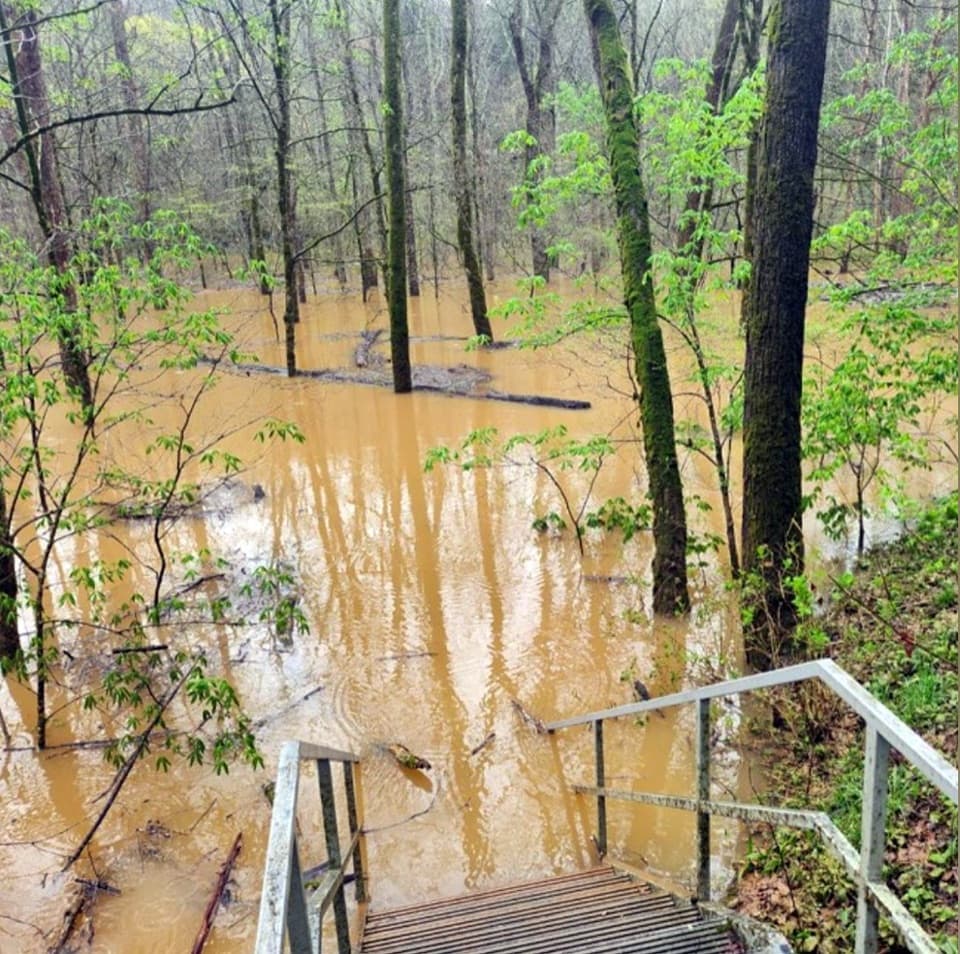
The Wet Prong section works down into Wildcat Hollow to reach a shallow creek crossing, then climbs out toward First Creek Trailhead. Water can be too high for a dry crossing, so conditions there can decide whether it’s safe to continue. A small rock shelter sits beside Wildcat Hollow Creek, with the stream running through it. Some forks in this backcountry network are unsigned, so keep the route map handy, especially where side trails branch off.
Start from the First Creek Trailhead parking area; the loop also passes Temple Hill, but this mapped version begins at First Creek. Treat it as a self-supported day: no food or drinking-water stop was confirmed along the route. Park rules allow pets on surface trails on a leash up to six feet. Horses also use the backcountry trails, so move to the side and keep a dog calm when a rider passes.
Wildlife
 227 sightingsWhite-tailed DeerMost seen around 7 AMSighting map
 21 sightingsTricolored BatMost seen around 8 PMSighting map
 75 sightingsCave SalamanderMost seen around 6 PMSighting map
 149 sightingsWild TurkeyMost seen around 7 AMSighting map
 13 sightingsBarred OwlMost seen around 7 PMSighting map
 40 sightingsSnapping TurtleMost seen around 11 AMSighting map
Sighting maps show where each species has been reported across Mammoth Cave. Wildlife moves, so no sighting is guaranteed.
Keep exploring
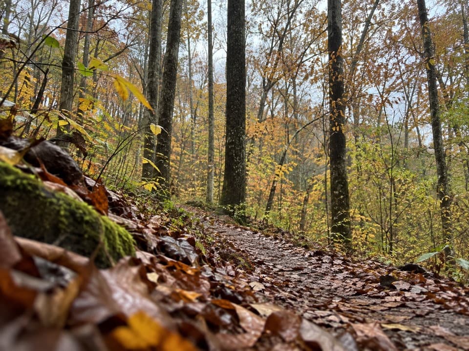 ModerateFirst Creek Trail6.3 mi · 3.5 hr · At the trailheadA wooded backcountry crossing with Nolin River views.
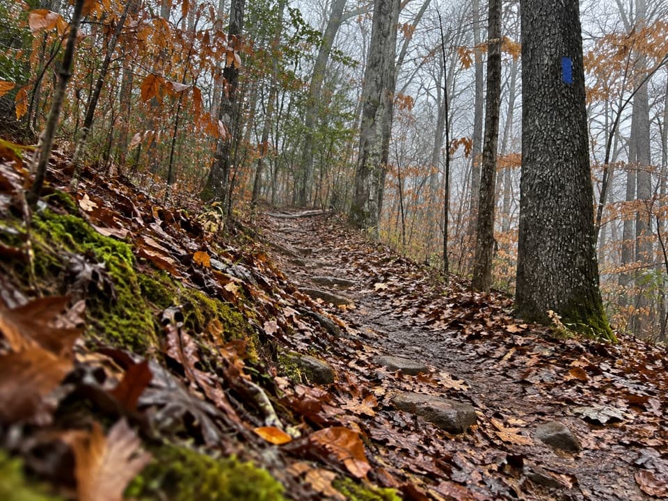 ModerateWet Prong Trail4.6 mi · 2.5 hr · 0.1 mi awayA wooded backcountry traverse with creek crossings and blue blazes
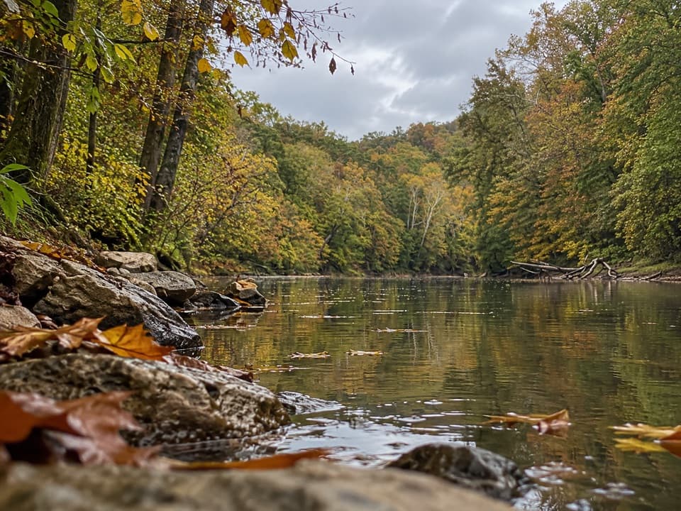 ModerateBlair Springs Hollow Trail1.8 mi · 1 hr · 1.1 mi awayCreek crossing, hollow tread, and a steady climb through backcountry.
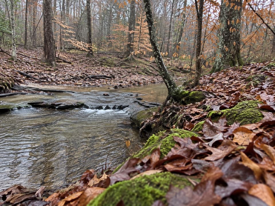 ModerateCollie Ridge Loop10.7 mi · 4.3 hr · 2 mi awayRidge forest, creek hollows, and a long way back
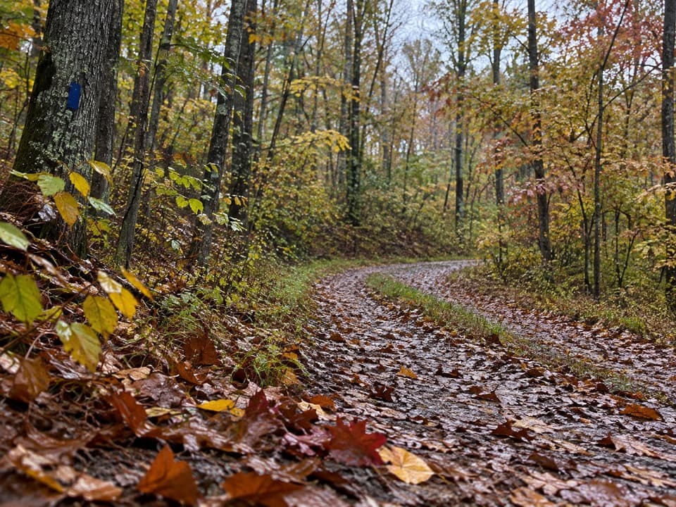 ModerateCollie Ridge Trail8.4 mi · 4.5 hr · 2 mi awayA forested old road passes a remote cemetery and ridge junctions.
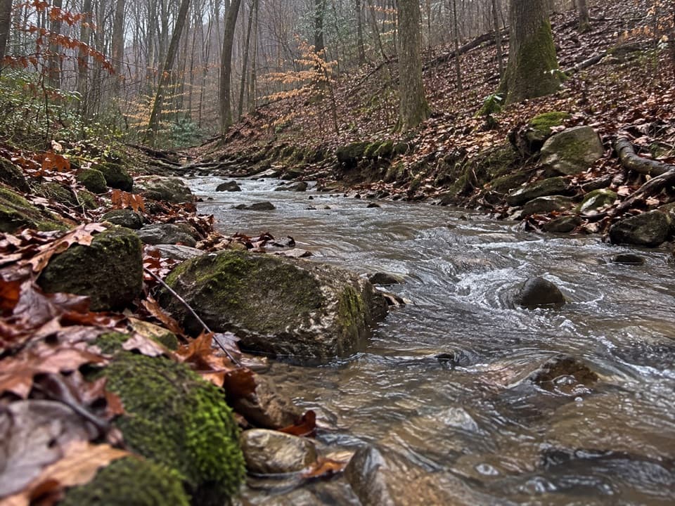 ModerateMill Branch Trail3 mi · 2 hr · 2.1 mi awayA rough three-mile link with a creekbed turn to catch.
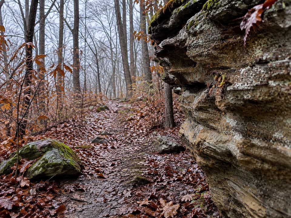 ChallengingMcCoy Hollow Trail6.4 mi · 3.5 hr · 2.4 mi awayRavine after ravine on a rugged, one-way backcountry route.
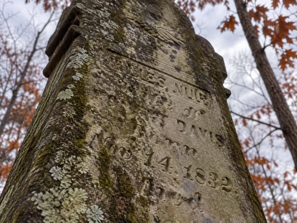 EasyMiles-Davis Cemetery Trail0.5 mi · 30 min · 3 mi awayA short cemetery spur tucked deep in the backcountry.
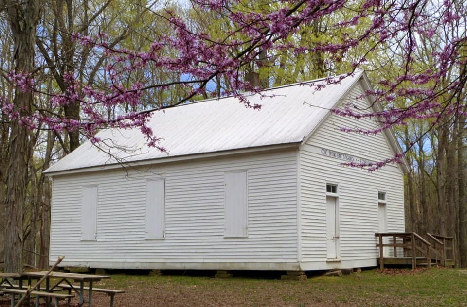 Sight · 3.5 mi awayGood Spring Baptist Church & CemeteryA small church and cemetery preserve the lost Cade community.
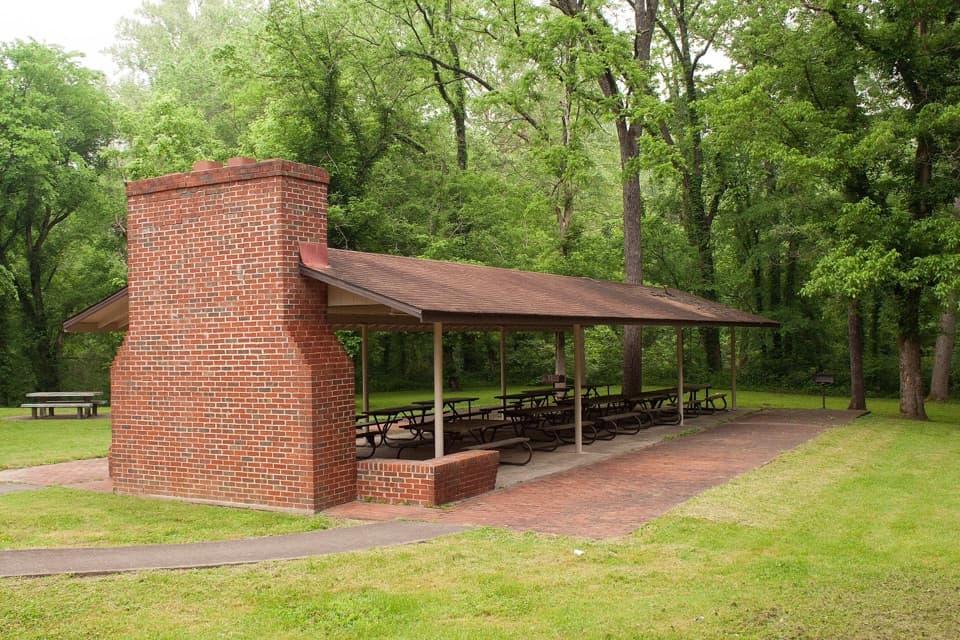 Picnic area · 3.8 mi awayHouchin Ferry Picnic AreaA shady Green River picnic stop at Mammoth Cave’s former ferry landing.
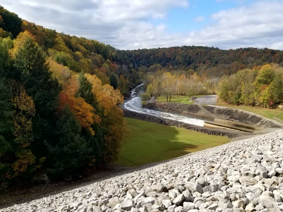 Sight · 3.9 mi awayNolin River Tailwater Recreation AreaA useful launch, picnic stop and gateway to the Nolin River.
 Campground · 3.9 mi awayHouchin Ferry CampgroundA tent camp on the Green River, with a public boat launch.
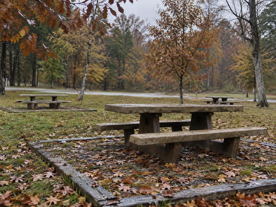 Picnic area · 4 mi awayMaple Springs Day Use AreaPicnic tables with access to north-side hiking and horse trails.
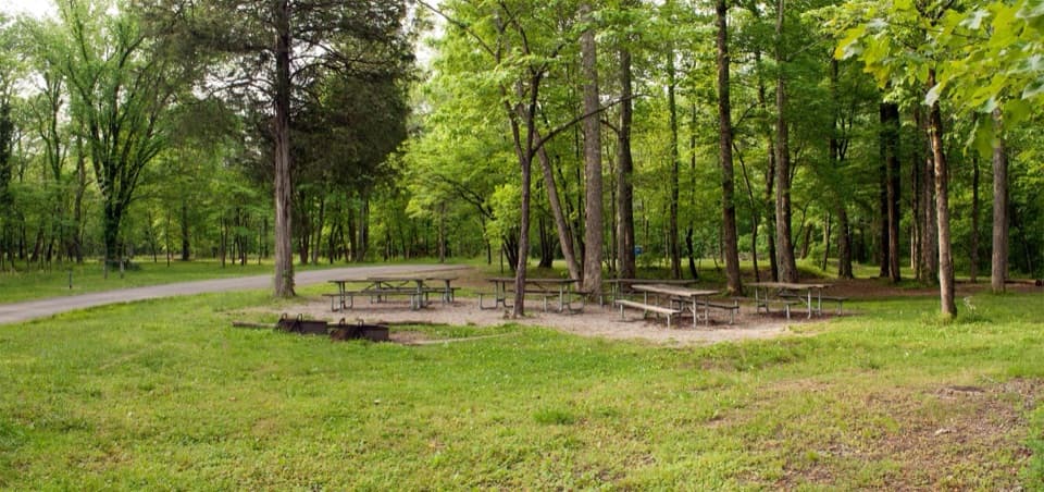 Campground · 4.1 mi awayMaple Springs Group CampgroundA quiet base for group camping near northern backcountry trails.
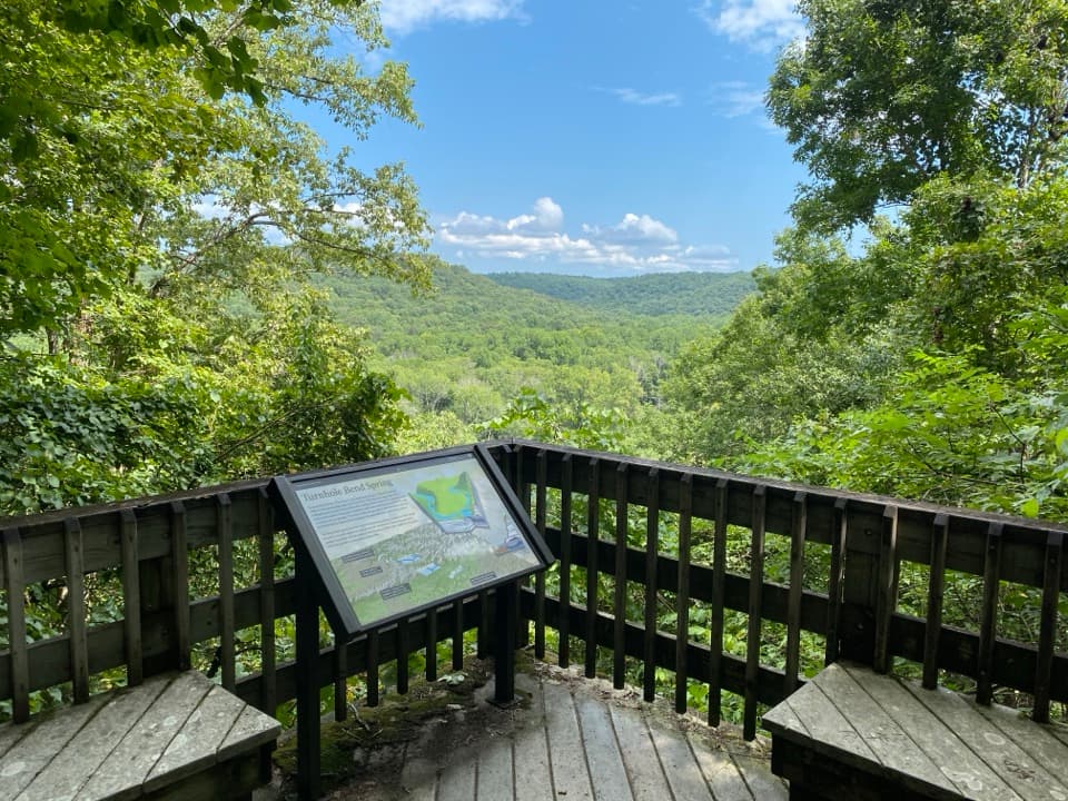 Sight · 5.8 mi awayTurnhole Bend OverlookA half-mile loop pairs sinkhole geology with a riverboat-era story.
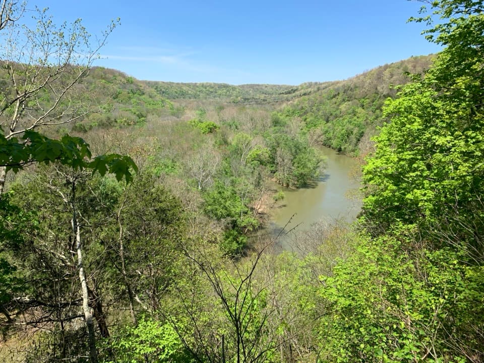 Sight · 6 mi awayGreen River Bluffs OverlookCatch the Green River's curves from this wooded overlook.
Parkwolf’s Mammoth Cave ranking
The audio tour guide for the drive, plus offline maps, trails, and wildlife heatmaps for when the signal drops.