
Place · 3.4 mi away
Moderate
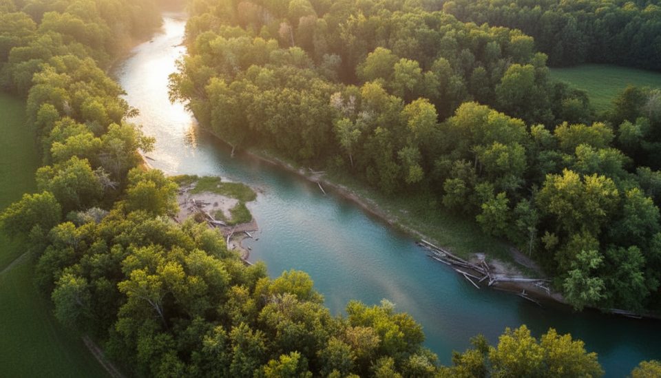
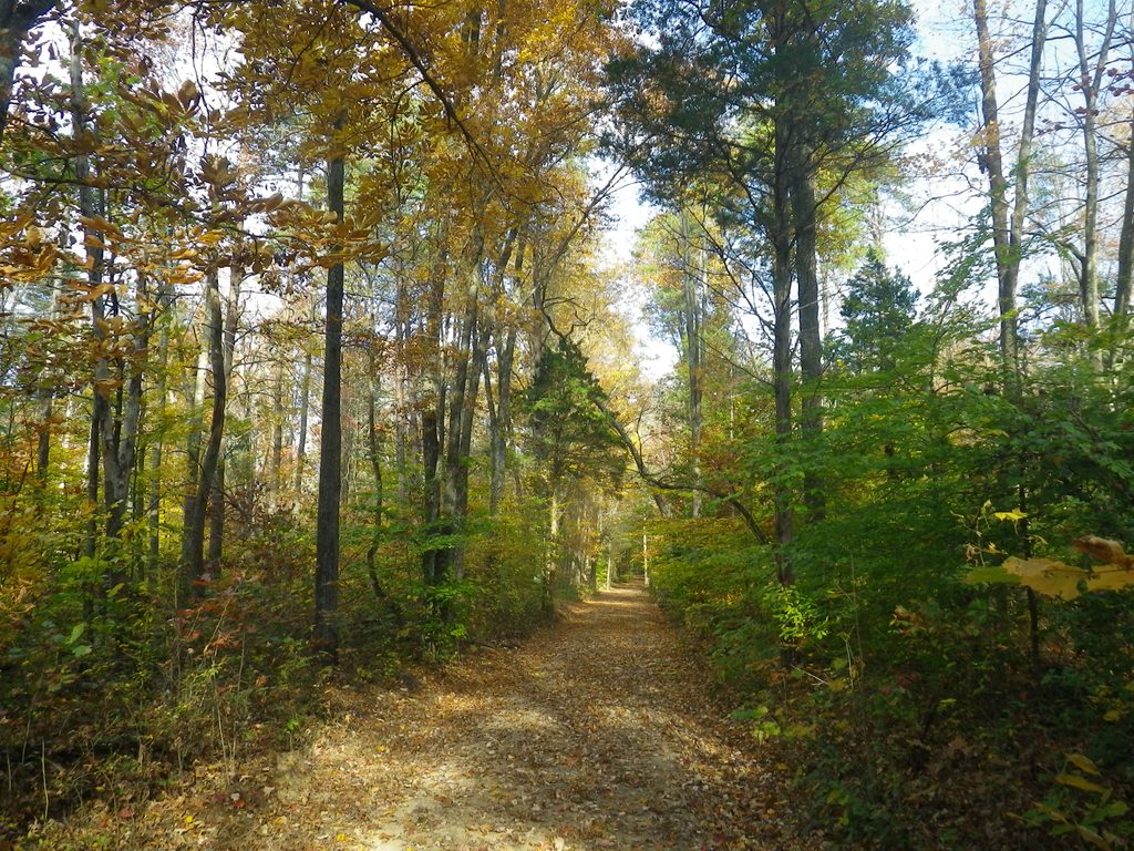
Wet Prong is a shared-use backcountry track that drops through hardwood forest to the Wet Prong of Buffalo Creek, with rock formations and a real sense of solitude. Expect horse traffic—and the churned-up tread that comes with it. Plan roughly 9.1 miles total for the full out-and-back (about 4.6 miles one way) with around 800–900 feet of cumulative gain, and 3.5–5+ hours depending on mud and creek levels.
Start from the First Creek Trailhead (near Mammoth Cave Horse Camp). The first ~1.25 miles are more improved/gravel, then it narrows to singletrack and rolls toward the creek. Blue blazes mark the route, though a few posts can be missing; carry a good map or offline GPS. You’ll reach the Wet Prong of Buffalo Creek—this crossing is the crux—then climb toward Collie Ridge. The mile approaching Collie Ridge is the cleanest, best-maintained stretch and makes a pleasant turnaround for a shorter day. Connections to McCoy Hollow and Blair Springs Hollow open up loop options if you want more miles.
This trail is notorious for persistent mud and horse‑wallowed ruts, especially near the creek. Hikers report deep, soft spots—watch your footing and use faint bypasses sparingly to avoid braiding the trail. Vegetation can overgrow sections in summer, obscuring rocks and roots. After storms, expect downed limbs or trees and slick pitches near the creek.
You must cross the Wet Prong of Buffalo Creek. At low water you might rock‑hop; at higher flows you’ll wade. Waterproof boots and trekking poles help. If the water looks pushy or turbid, turn back—there’s no shame in waiting for a drier spell.
Go during drier periods in spring or fall for firmer tread, cooler temps, and fewer ticks. Summer brings lush growth that hides obstacles and ramps up bugs; winter lowers the vegetation but can mean cold water at the crossing. Weekends often see more riders; start early for a quieter walk.
Leashed pets (max 6 feet) are allowed on the park’s surface trails. No pets in caves or park buildings.
If you like a quiet, woodsy ramble with a bit of scruff and a creek crossing, this is an underrated slice of the park. If mud and manure are deal‑breakers, sample the well‑maintained stretch near Collie Ridge as an out‑and‑back and skip the creek on high‑water days.
Park at the First Creek Trailhead near Houchin Ferry/Ollie Ridge roads, across from the Mammoth Cave Horse Camp area.
Expect deep mud, horse traffic, and a creek crossing that may require wading; ticks are common in warm months and some blazes/posts can be missing—carry an offline map.
Place · 3.4 mi away
Place · 3.9 mi away
Place · 3.9 mi away
Place · 4.1 mi away
Challenging · 0.1 mi away
Moderate · 1.9 mi away
Moderate · 3.9 mi away
Moderate · 3.9 mi away

Parkwolf Tour Guide
