Parking
Use Maple Springs Trailhead within Maple Springs Campground, then follow Big Hollow trail connections to North Loop Junction. The approach from the campground is outside the listed South Loop distance; parking capacity was not established.
Mammoth Cave National Park, KY
A shaded woodland loop with rocky singletrack and a return connector.
Overview
Map & elevation
Plan your hike

The highest, rockiest slopes around here are a summer buffet for grizzly bears.
Mammoth Cave Tour Guide
Parkwolf is a GPS audio tour guide for Mammoth Cave National Park. As you drive, it chimes in with what’s ahead: hidden gems, upcoming stops, history, geology, and wildlife, right through your car’s speakers.
Recorded for this area
A Mussel’s First Ride“A freshwater mussel starts life with a journey on a fish. The Green River holds many kinds of mussels, including the sheepnose. Its tiny larvae attach to a fish's gills or fins and develop there for a few weeks.”
Plays on the road 0.4 mi from the trailhead in the Parkwolf Mammoth Cave Tour Guide.
More stories near here in the app
“Fantastic app with many points of information… It’s great to just turn on while you’re driving and it gives you an audio tour of the national Park. We love it!!!!”


Trail guide
Big Hollow Trail South Loop is a wooded, multiuse lollipop in Mammoth Cave’s Big Hollow system. Start at North Loop Junction, follow the South Loop Connector to the closed circuit, walk the loop, then retrace the connector. The park lists 3.7 miles from the junction. The circuit alone measures about 2.5 miles; the full connector, circuit and return line maps to about 4.1 miles, so leave room for a little extra. Set aside roughly two to three hours from the junction, plus the walk in from Maple Springs.
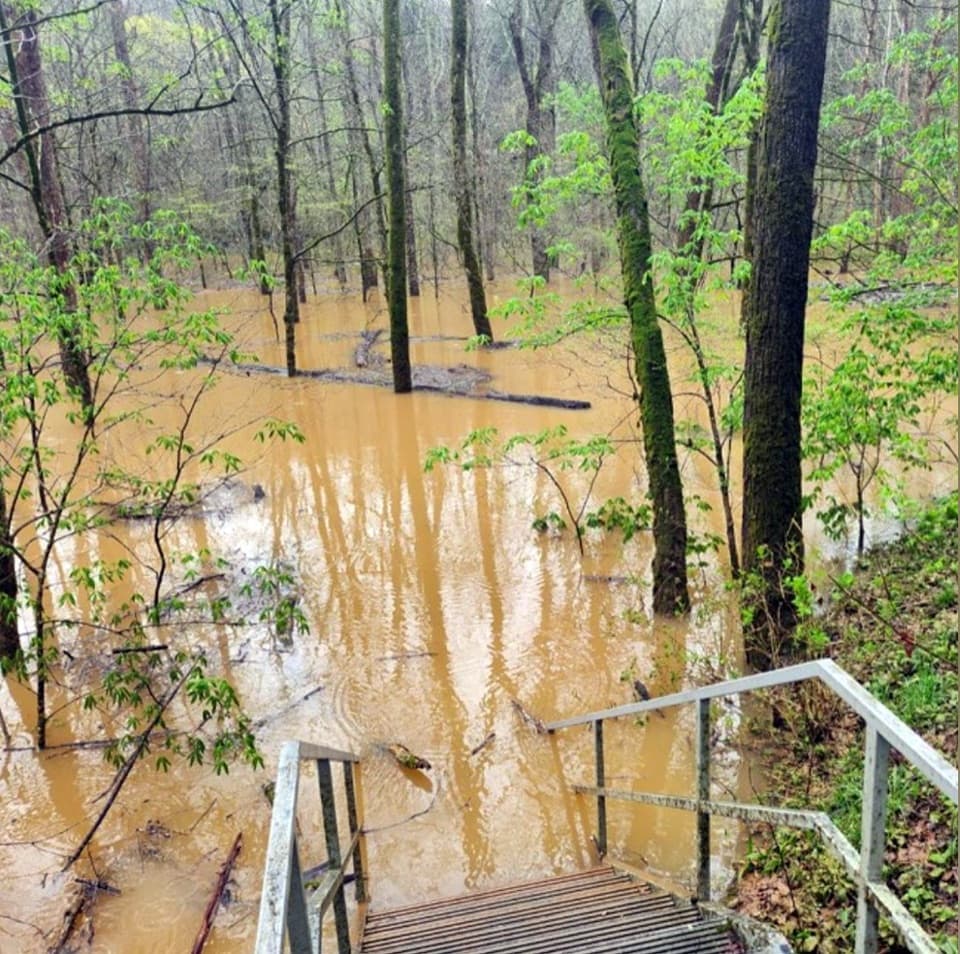
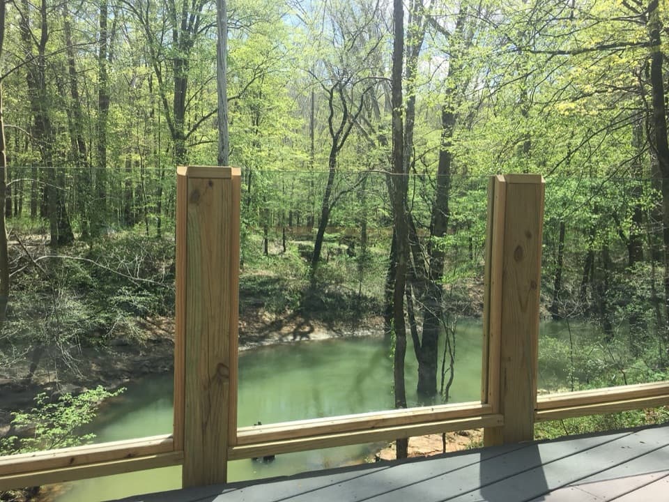
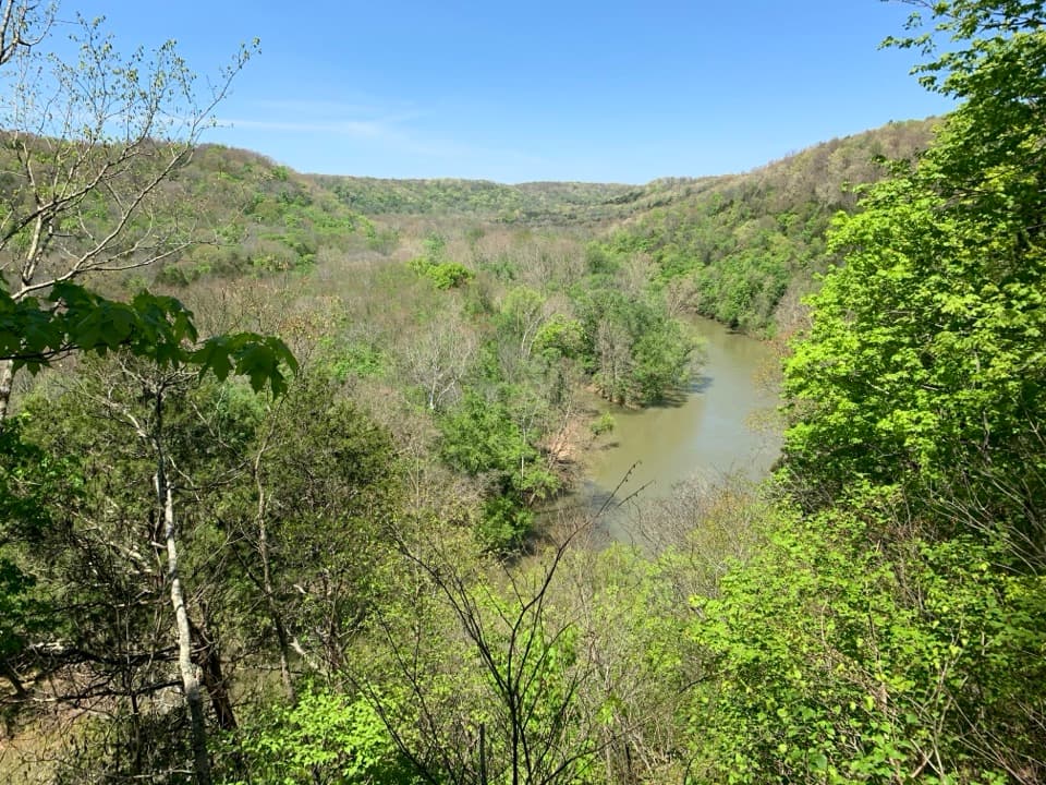
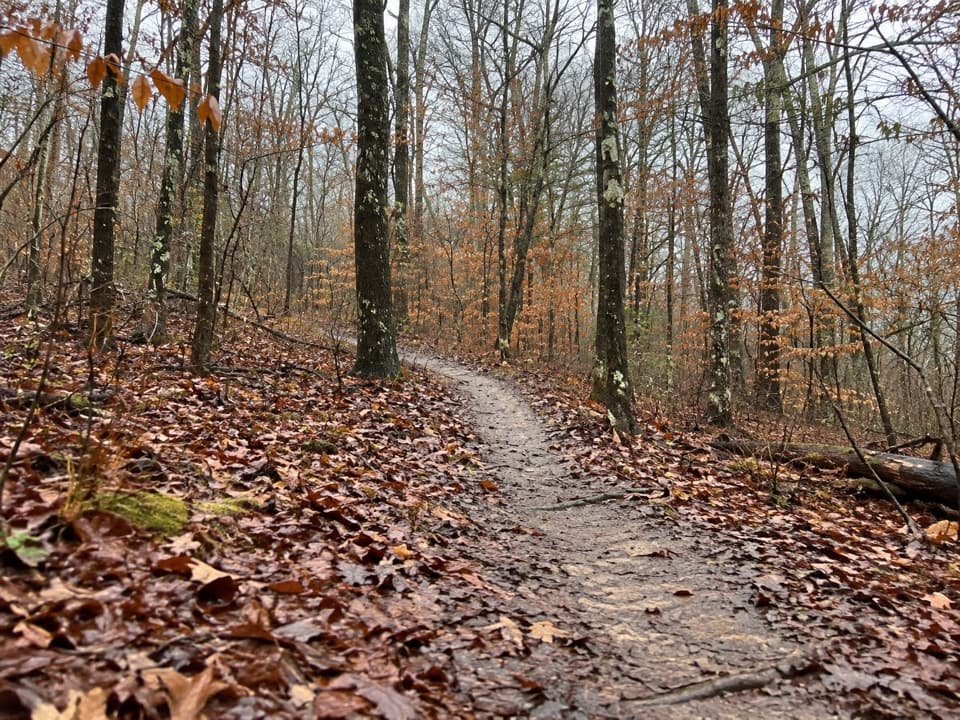
The route runs through dense woodland on dirt singletrack, with rocky outcroppings, changing trail width and regular grade changes. There is no named overlook or summit; the appeal is the wooded circuit and the rougher rock features along it. The park’s trail descriptions treat Big Hollow as a shared hiking and mountain-biking system, so watch and listen for riders on the same track, especially around bends.
The park directs visitors to the Maple Springs Trailhead within Maple Springs Campground for access to Big Hollow. From there, follow the Big Hollow trail connections to North Loop Junction; that approach from the campground is outside the route distance above. Dogs are allowed on surface trails when leashed no longer than six feet.
Wildlife
 227 sightingsWhite-tailed DeerMost seen around 7 AMSighting map
 21 sightingsTricolored BatMost seen around 8 PMSighting map
 75 sightingsCave SalamanderMost seen around 6 PMSighting map
 149 sightingsWild TurkeyMost seen around 7 AMSighting map
 13 sightingsBarred OwlMost seen around 7 PMSighting map
 40 sightingsSnapping TurtleMost seen around 11 AMSighting map
Sighting maps show where each species has been reported across Mammoth Cave. Wildlife moves, so no sighting is guaranteed.
Keep exploring
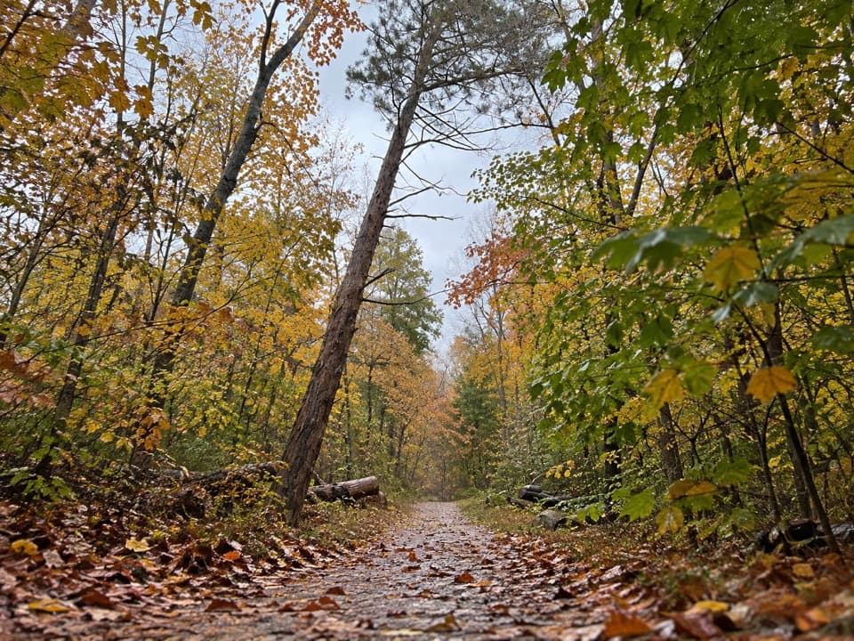 ModerateBig Hollow Trail North Loop5.3 mi · 2.7 hr · 1.1 mi awayA 5.3-mile forest loop on shared, rooty singletrack.
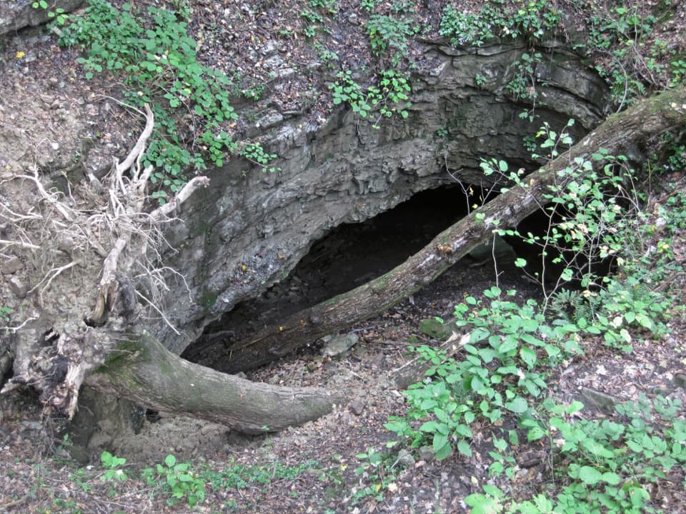 EasyDixon Cave Overlook Trail0.1 mi · 15 min · 1.2 mi awayA short descent ends at Dixon Cave's shadowed entrance.
 EasyTwo Springs Trail0.6 mi · 30 min · 1.2 mi awayA short, steep link between two springs fed by the cave.
 ModerateBig Hollow North and South Loops Trail11.1 mi · 4.5 hr · 1.2 mi awayTwo wooded loops, a creek footbridge, and a rocky southern climb.
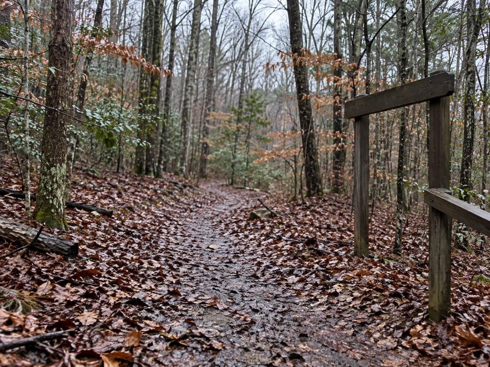 ChallengingSal Hollow & Buffalo Creek Loop10.8 mi · 7 hr · 1.2 mi awayA long hardwood loop with creek crossings and a rough hollow descent.
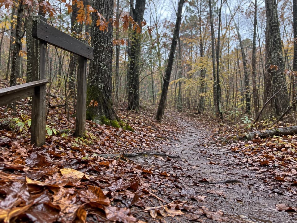 ModerateSal Hollow Trail8.6 mi · 4.5 hr · 1.2 mi awayA long woodland walk with muddy ruts and a small creek cascade.
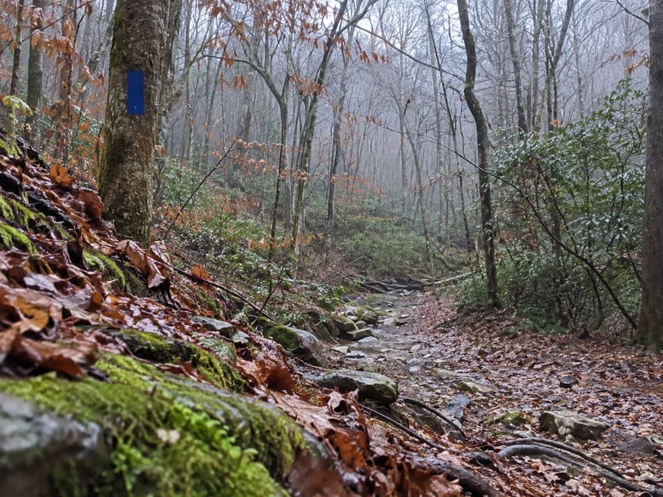 ModerateBuffalo Creek, Collie Ridge & Mill Branch Loop9.3 mi · 5 hr · 1.2 mi awayA 9.3-mile backcountry loop with creek crossings and rocky climbs.
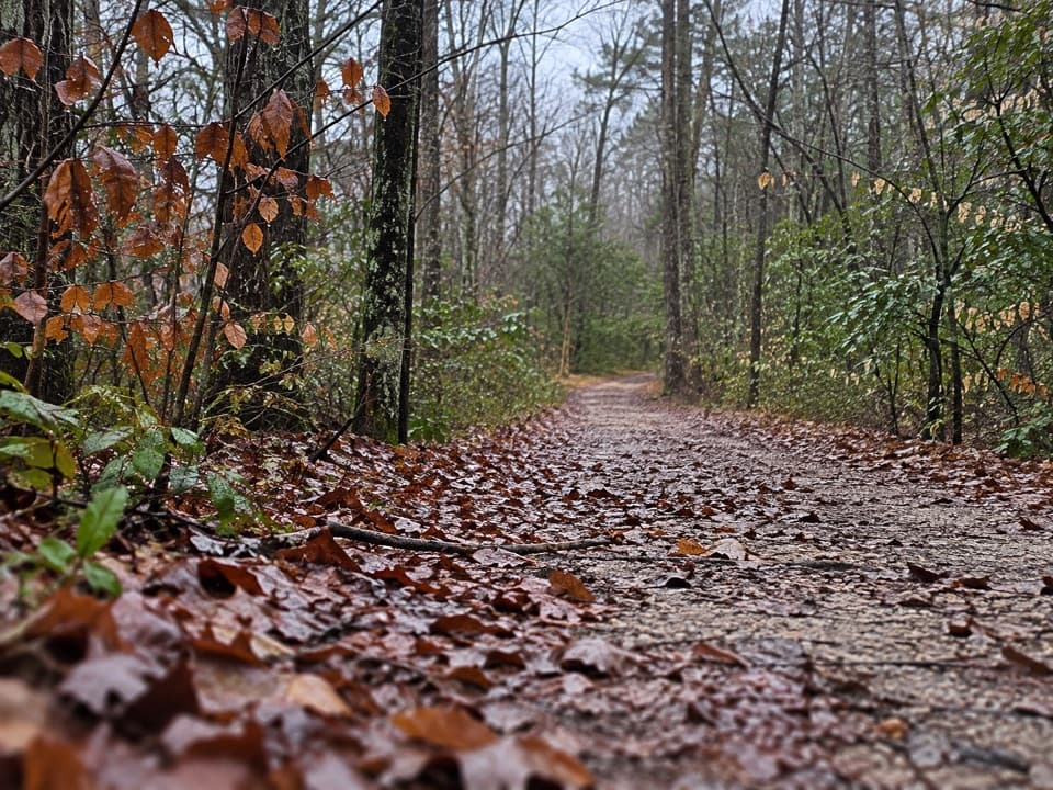 ModerateBuffalo Creek Trail4.4 mi · 2.5 hr · 1.2 mi awayA backcountry road past sinkholes and muddy, stone-filled patches.
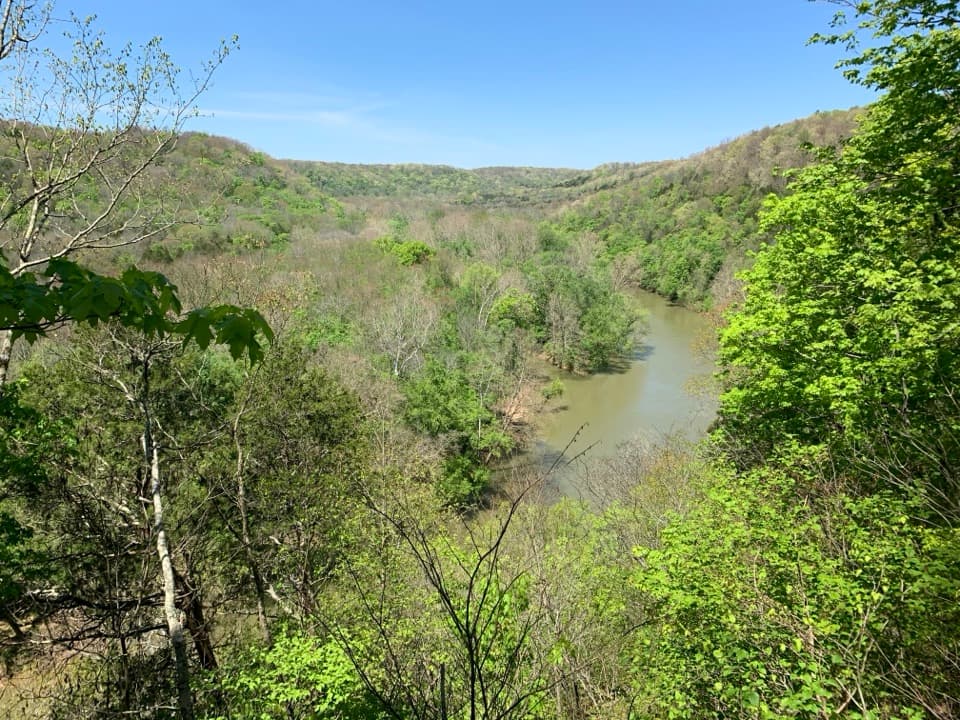 Sight · 1.1 mi awayGreen River Bluffs OverlookCatch the Green River's curves from this wooded overlook.
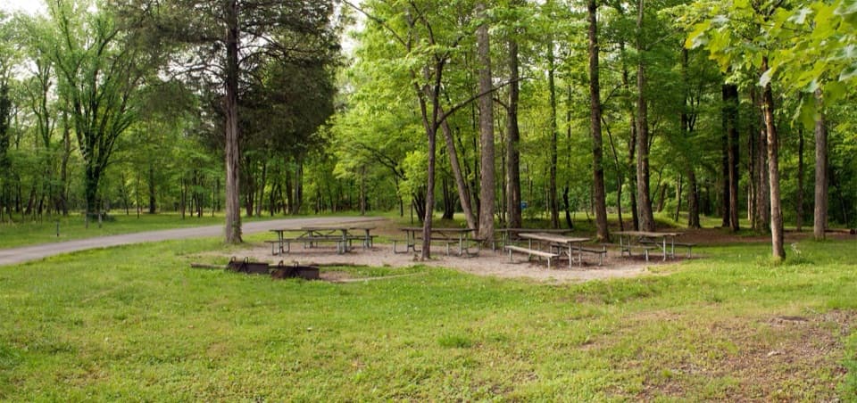 Campground · 1.1 mi awayMaple Springs Group CampgroundA quiet base for group camping near northern backcountry trails.
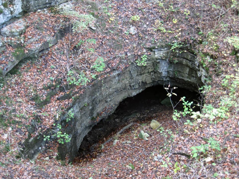 Sight · 1.2 mi awayDixon Cave OverlookA raised deck for a quick look at Dixon Cave’s limestone entrance.
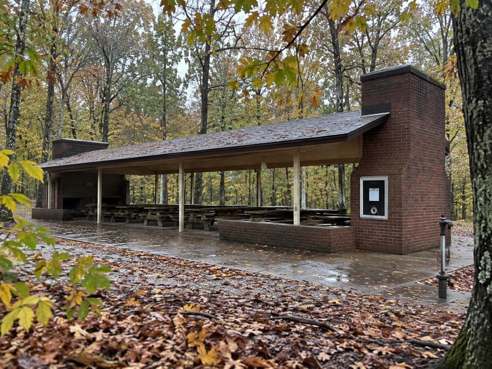 Picnic area · 1.2 mi awayMammoth Cave Picnic AreaThe park's biggest picnic grounds have grills, drinking water, and trails.
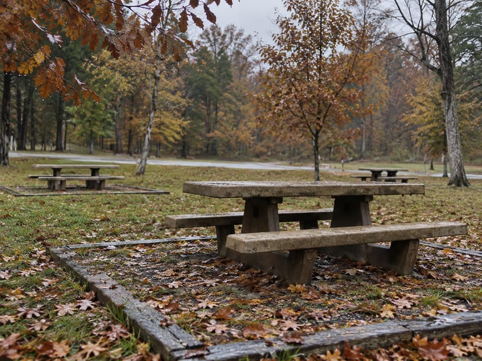 Picnic area · 1.2 mi awayMaple Springs Day Use AreaPicnic tables with access to north-side hiking and horse trails.Sight · 1.3 mi awayRiver Styx SpringA short walk to see cave water emerge at the surface.
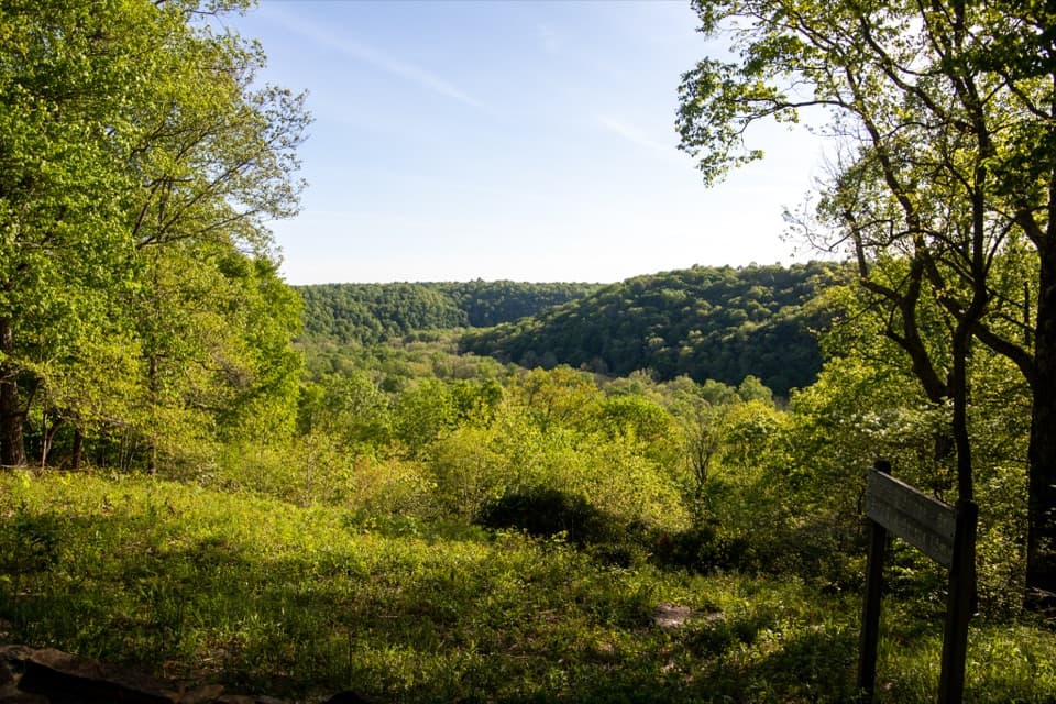 Sight · 1.3 mi awaySunset PointAn easy, accessible trail opens onto the Green River valley.
 Sight · 1.4 mi awayOld Guide’s CemeteryStephen Bishop’s grave puts the cave’s guiding history in focus.
Parkwolf’s Mammoth Cave ranking

The audio tour guide for the drive, plus offline maps, trails, and wildlife heatmaps for when the signal drops.