Two Springs Trail in Mammoth Cave National Park

Mammoth Cave National Park, KY

Two Springs Trail

A short, steep link between two springs fed by the cave.

Photo: National Park Service
Length
0.6mi
Time
30min
Elev. change
60ft
Difficulty
Easy
  • Dogs allowed
  • High point 514 ft
  • #16 of 47 in Mammoth Cave

Hear the audio tour

Mammoth Cave Picnic Area and Dixon Cave

Overview

About Two Springs Trail

Why go

  • Connects two cave-fed springs in a short walk.
  • River Styx boardwalk and viewing platform overlook the water.
  • A 1930s chlorinating house adds a specific history stop.

Heads up

  • A short but steep climb comes at the River Styx end.
  • Point-to-point mileage leaves the approach and return to you.

Map & elevation

The route

Loading the Mammoth Cave map
Full map
Elevation454–514 ft
TrailheadRiver Styx Spring Trail junction37.18764, -86.10980
Keep this map with you offline in the Parkwolf app

Plan your hike

Before you go

Parking

Park at the Mammoth Cave Visitor Center. Walk the paved path to Historic Entrance, then follow River Styx Spring Trail to the north Two Springs junction; the 0.6-mile figure begins there. The south end meets Echo River Springs Trail, so plan your return or pickup.


Safety

The opening climb above River Styx Spring is steep. The River Valley Trail junction is unsigned; check your map there to stay on Two Springs.

4 active Mammoth Cave alerts

  • ClosureAccessible Tour unavailableThe Accessible Tour is currently unavailable because mechanical issues have taken the cave elevator out of service. - Check back for updates or call the visitor center at (270) 758-2180.Official details
  • ClosureGreen River Ferry temporarily out of serviceThe Green River Ferry has temporarily suspended operations because low water levels make service unsafe. - Ferry service will resume once water levels rise and conditions are safe.Official details
See all 4 alerts
A park ranger sits on a dash-mounted phone, talking, as Parkwolf’s Tour Guide plays “Army Cutworm Moths: A Grizzly Bear Buffet” on Grand Loop Road below Dunraven Pass in Yellowstone
Parkwolf Tour GuideThe highest, rockiest slopes around here are a summer buffet for grizzly bears.

Mammoth Cave Tour Guide

Your drive to Two Springs Trail, narrated.

Parkwolf is a GPS audio tour guide for Mammoth Cave National Park. As you drive, it chimes in with what’s ahead: hidden gems, upcoming stops, history, geology, and wildlife, right through your car’s speakers.

Recorded for this area

Mammoth Cave Picnic Area and Dixon Cave
0:00 / 0:31
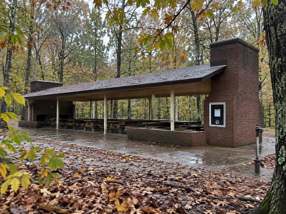
“The side road to Mammoth Cave Picnic Area is ahead, leading to the park's largest picnic ground. It's a good place to eat a meal you've brought, with tables in the woods and a pavilion for a covered break.”

Plays on the road 0.4 mi from the trailhead in the Parkwolf Mammoth Cave Tour Guide.

More stories near here in the app

  • The Lodge and Heritage Trail
  • Visitor Center and Historic Entrance
  • Green River Ferry and Echo River Springs
  • Mammoth Cave Campground and Caver's Camp Store
  • 52 audio storiesacross Mammoth Cave’s roads, triggered by GPS as you drive
  • Wildlife heatmapsfor White-tailed Deer, Tricolored Bat, Cave Salamander, and 13 more
  • Works offlinemaps, 47 trails, 42 places, and audio download before you lose signal
  • CarPlay readysimple controls built for the drive
★★★★★
“Fantastic app with many points of information… It’s great to just turn on while you’re driving and it gives you an audio tour of the national Park. We love it!!!!”
JMJamesApp Store review
Download Parkwolf on the App StoreGet Parkwolf on Google Play

4.7 from 8,600+ ratings

Trail guide

Hiking Two Springs Trail

Two springs, one short crossingTwo Springs is a 0.

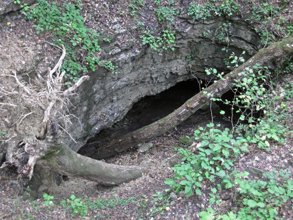
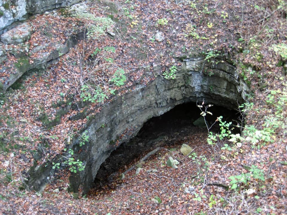
Two Springs is a 0.6-mile point-to-point trail from the River Styx Spring Trail junction to the Echo River Springs Trail junction. The distance is one way; it does not include either approach trail or a return. Allow about 30 minutes for this leg. The two springs are places where underground streams emerge from Mammoth Cave and flow toward the Green River, so you see two points where the cave's water returns to the surface.

The climb above River StyxThe north end starts with a short, steep climb above River Styx Spring.

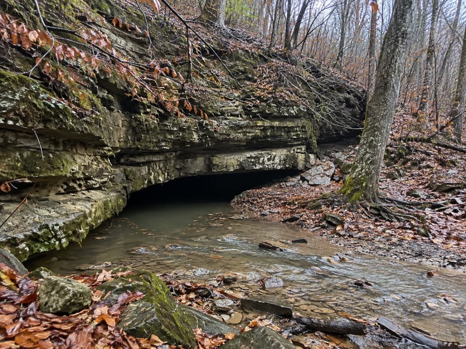
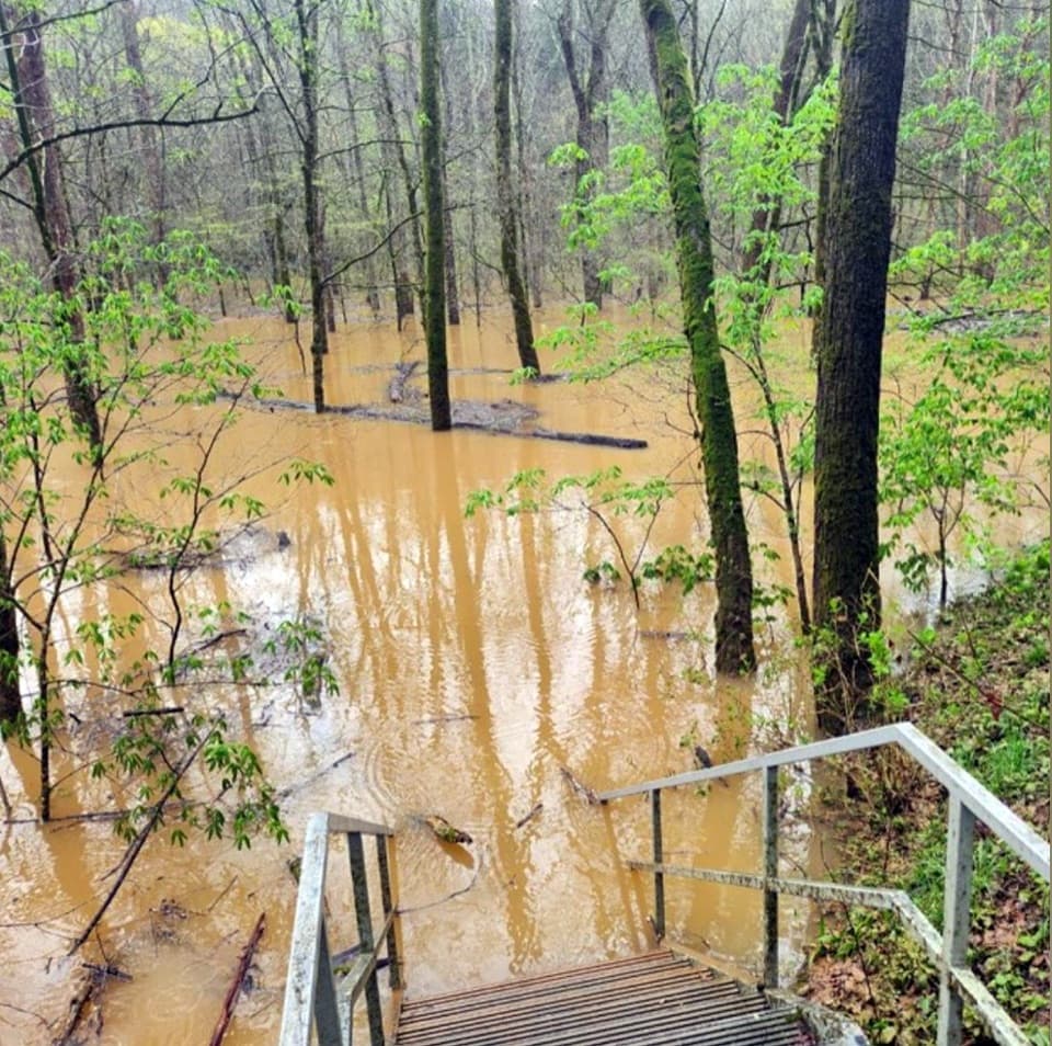
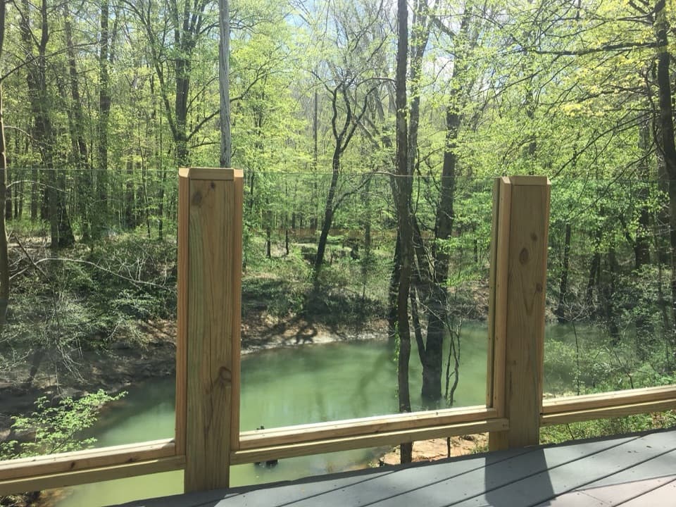
The north end starts with a short, steep climb above River Styx Spring. A wooden boardwalk crosses the spring area to an observation platform, then the path levels out. The overall climb is modest, but this opening rise is noticeably steeper than the rest of the walk. From the boardwalk, frame the water with the layered limestone ledges to show where the spring emerges.

Through the woods to Echo RiverPast the boardwalk, the trail follows dirt path through a wooded ridge, then gradually descends.

Past the boardwalk, the trail follows dirt path through a wooded ridge, then gradually descends. A 1930s Civilian Conservation Corps chlorinating house stands beside the route. An unsigned T-junction with River Valley Trail is the point to check your map; stay on Two Springs for the final narrower stretch to the Echo River Springs Trail junction and the spring view.

Plan the one-way outingFor the north start, park at the Mammoth Cave Visitor Center, walk the paved path to Historic…

For the north start, park at the Mammoth Cave Visitor Center, walk the paved path to Historic Entrance, then follow River Styx Spring Trail to the Two Springs junction. That approach is additional mileage. Retrace Two Springs for a 1.2-mile out-and-back on this trail alone, or arrange another return before setting off. Leashed pets are allowed on surface trails; keep the leash to six feet or shorter.

Wildlife

Wildlife in Mammoth Cave

All Mammoth Cave wildlife maps

Sighting maps show where each species has been reported across Mammoth Cave. Wildlife moves, so no sighting is guaranteed.

Keep exploring

Near Two Springs Trail

See it all on the map

Trails that start nearby

Places near the trailhead

Parkwolf’s Mammoth Cave ranking

Top-rated trails in Mammoth Cave

All 47 trails
  1. 1Cedar Sink TrailModerate · 1.6 mi
  2. 2Echo River Springs Loop TrailEasy · 0.7 mi
  3. 3Green River Bluffs TrailModerate · 1.3 mi
  4. 4River Styx Spring TrailModerate · 0.4 mi
  5. 5Heritage TrailEasy · 0.7 mi
  6. 6Sunset Point TrailModerate · 0.3 mi

Take Parkwolf to Mammoth Cave.

The audio tour guide for the drive, plus offline maps, trails, and wildlife heatmaps for when the signal drops.

4.7 from 8,600+ ratings

Download Parkwolf on the App StoreGet Parkwolf on Google Play