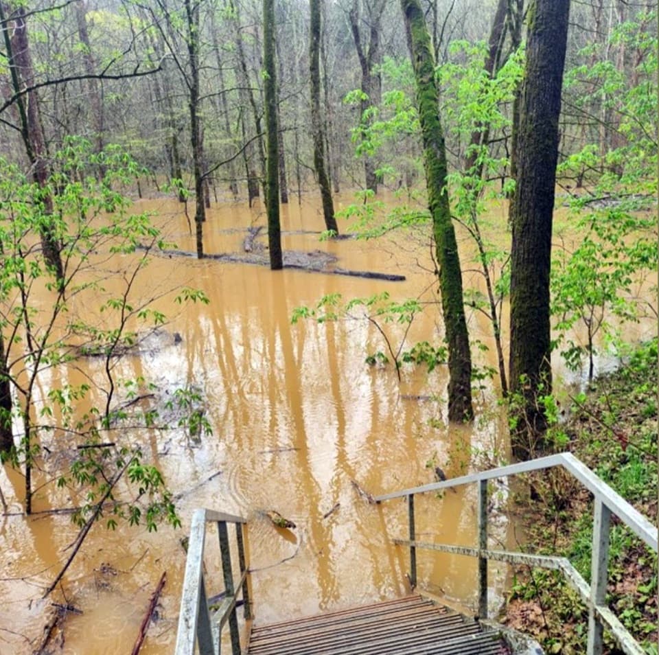
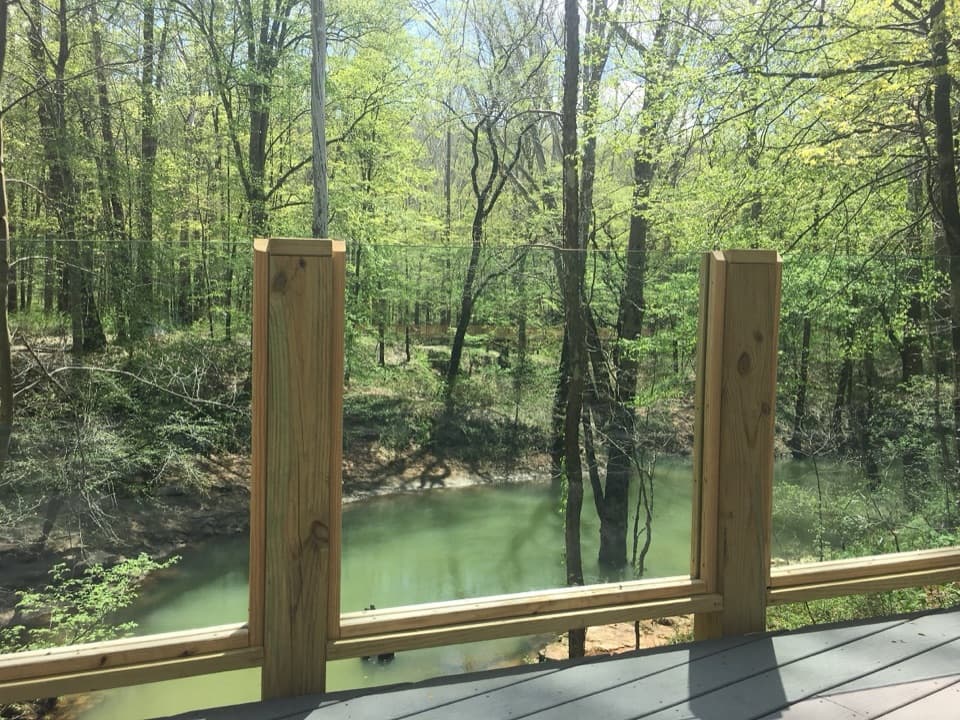
Parking
Use Lodge parking and walk about 0.3 mile to the campground-side trail junction. This is a point-to-point segment, so plan a return or continue on the connected trails.
Mammoth Cave National Park, KY
A 0.6-mile connector with two steep hills.
Overview
Map & elevation
Plan your hike

The highest, rockiest slopes around here are a summer buffet for grizzly bears.
Mammoth Cave Tour Guide
Parkwolf is a GPS audio tour guide for Mammoth Cave National Park. As you drive, it chimes in with what’s ahead: hidden gems, upcoming stops, history, geology, and wildlife, right through your car’s speakers.
Recorded for this area
Mammoth Cave Campground and Caver's Camp Store“You're nearing Mammoth Cave Campground and the seasonal Caver's Camp Store, a handy stop for groceries, snacks, cold drinks, or a forgotten camping item.”
Plays on the road 0.1 mi from the trailhead in the Parkwolf Mammoth Cave Tour Guide.
More stories near here in the app
“Fantastic app with many points of information… It’s great to just turn on while you’re driving and it gives you an audio tour of the national Park. We love it!!!!”


Trail guide
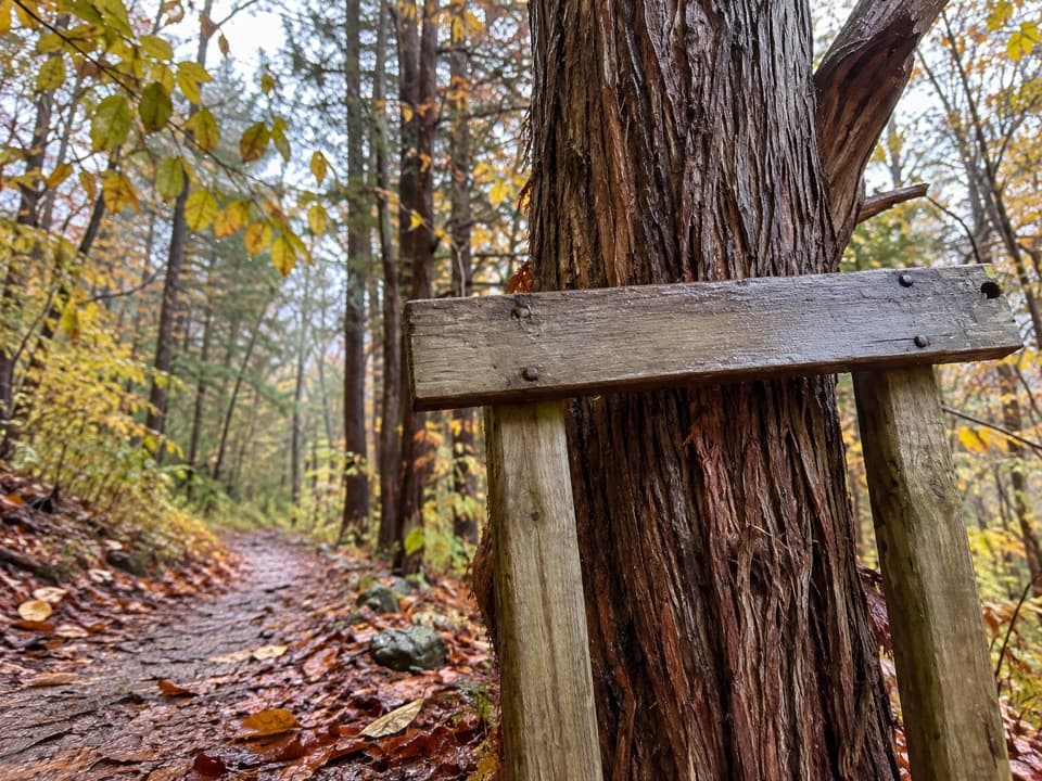
Whites Cave Trail is a 0.6-mile point-to-point link from Mammoth Cave Campground Trail to Sinkhole Trail. The stored distance is the one-way connector; walking it back the same way makes a roughly 1.2-mile outing. It is useful as part of a longer south-side walk, but by itself you need to arrange a return or continue onto connected trails.
From the Sinkhole end, the path starts nearly level, then climbs two short, steep hills with a level patch between. At the four-way junction, follow the Campground sign east; that branch is easy to miss on a schematic map. The remaining climb is gentler, then the trail levels near Campfire Circle and the campground. From the campground end, the steep hills are downhill. The unpaved path is generally smooth; allow about 20 minutes each way.
Whites Cave sits just off Sinkhole Trail near the connector's western end, not on this connector. You can add the short side trip to see its gated entrance, but the cave is closed to visitor entry. Leashed pets are allowed on surface trails; the leash must be no longer than 6 feet.
Wildlife
 227 sightingsWhite-tailed DeerMost seen around 7 AMSighting map
 21 sightingsTricolored BatMost seen around 8 PMSighting map
 75 sightingsCave SalamanderMost seen around 6 PMSighting map
 149 sightingsWild TurkeyMost seen around 7 AMSighting map
 13 sightingsBarred OwlMost seen around 7 PMSighting map
 40 sightingsSnapping TurtleMost seen around 11 AMSighting map
Sighting maps show where each species has been reported across Mammoth Cave. Wildlife moves, so no sighting is guaranteed.
Keep exploring
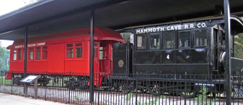 EasyEngine No. 4 Trail0.2 mi · 15 min · 0.2 mi awayA 0.2-mile out-and-back to Mammoth Cave Railroad locomotive No. 4.
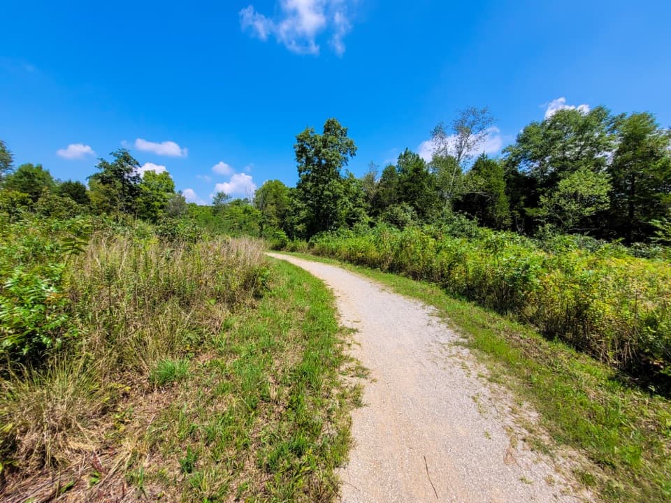 ModerateMammoth Cave Railroad Bike and Hike Trail9 mi · 3.5 hr · 0.2 mi awayA 9-mile former railroad trail from Hotel Parking to Park City
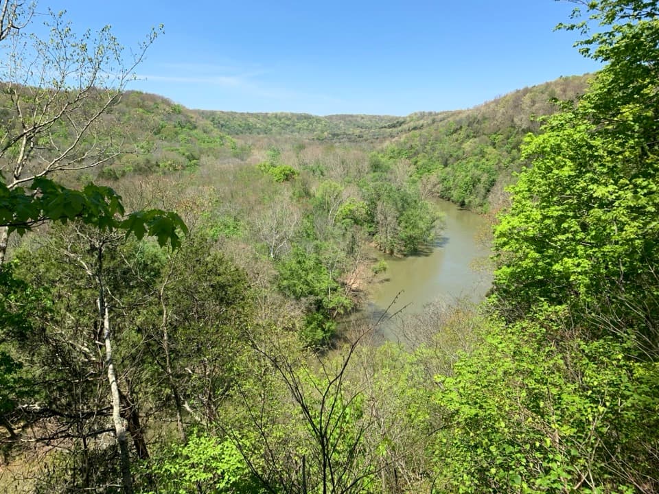 ModerateMammoth Cave Visitor Center Loop5.8 mi · 3.5 hr · 0.2 mi awayCave entrances, a spring boardwalk, and a steep Green River climb.
 EasyHeritage Trail0.7 mi · 45 min · 0.3 mi awayA gentle walk pairs a historic cemetery with a valley overlook.
 EasyHistoric Entrance Trail0.2 mi · 18 min · 0.3 mi awayA short paved walk to Mammoth Cave's largest natural entrance.
 ModerateEcho River and River Styx Springs Trail3.2 mi · 1.8 hr · 0.3 mi awayA steep ridge links two springs fed by the cave system.ModerateRiver Styx Spring Trail0.4 mi · 15 min · 0.3 mi awayA short connector toward River Styx Spring and the river trails.
 EasyOld Guide's Cemetery Trail0.1 mi · 18 min · 0.4 mi awayA short walk to early cave guides' graves and their stories.
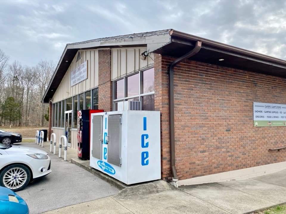 Store · 0.1 mi awayCaver’s Camp StoreA campground-side stop for supplies, quick food, showers, and laundry.
 Campground · 0.1 mi awayMammoth Cave CampgroundA wooded base about a five-minute walk from cave tours.
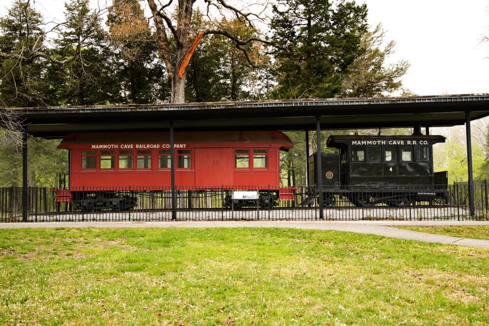 Sight · 0.1 mi awayMammoth Cave Historic TrainAn 1880s train that carried travelers to the cave.
 Sight · 0.2 mi awayGiant’s CoffinA giant fallen boulder with a two-century cave-tour story.
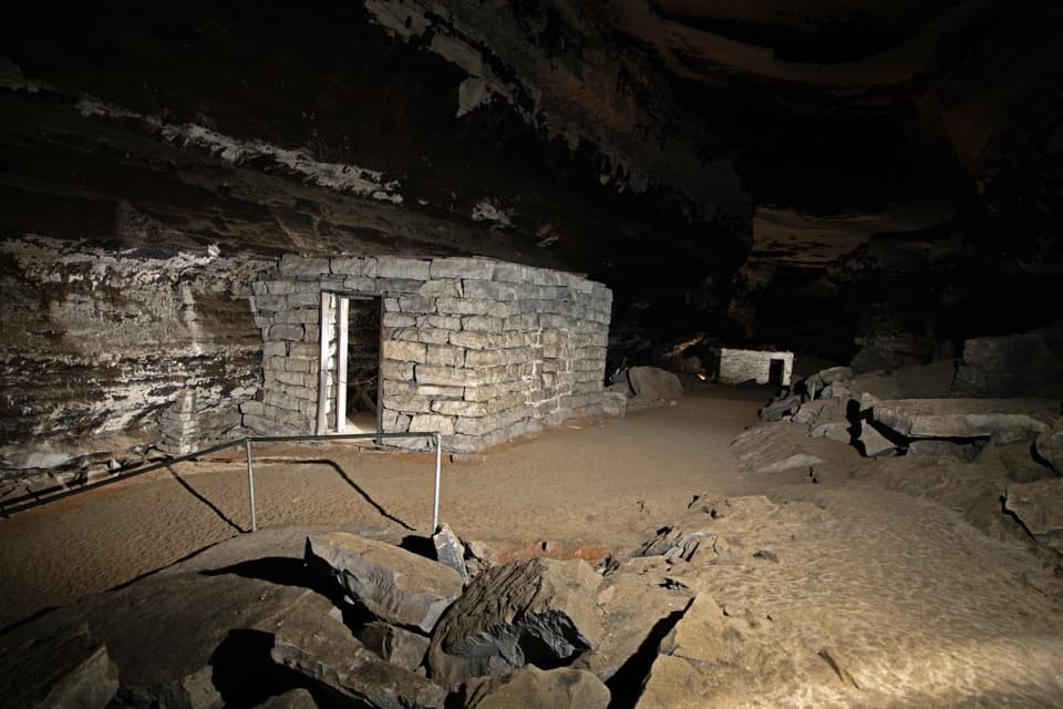 Sight · 0.2 mi awayTuberculosis HutsA failed cave hospital still tells a stark 1840s story.
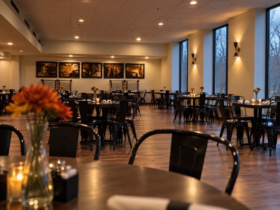 Restaurant · 0.3 mi awayGreen River GrillKentucky favorites and a handy sit-down stop between cave tours.
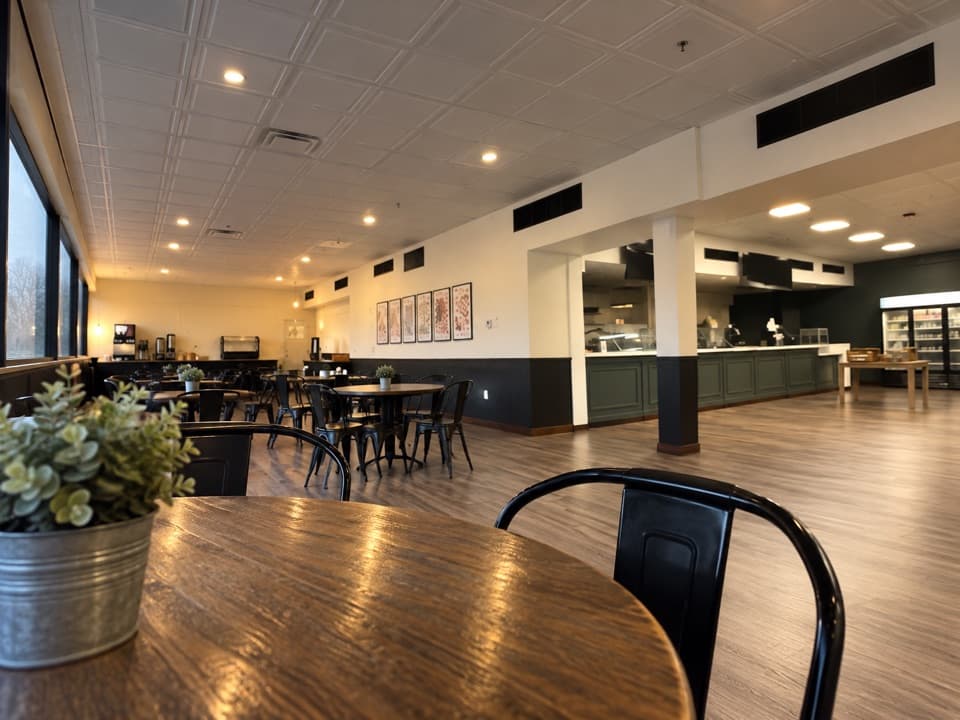 Food · 0.3 mi awayThe Lantern Café & Ice Cream ParlorIce cream and quick bites after your cave tour.
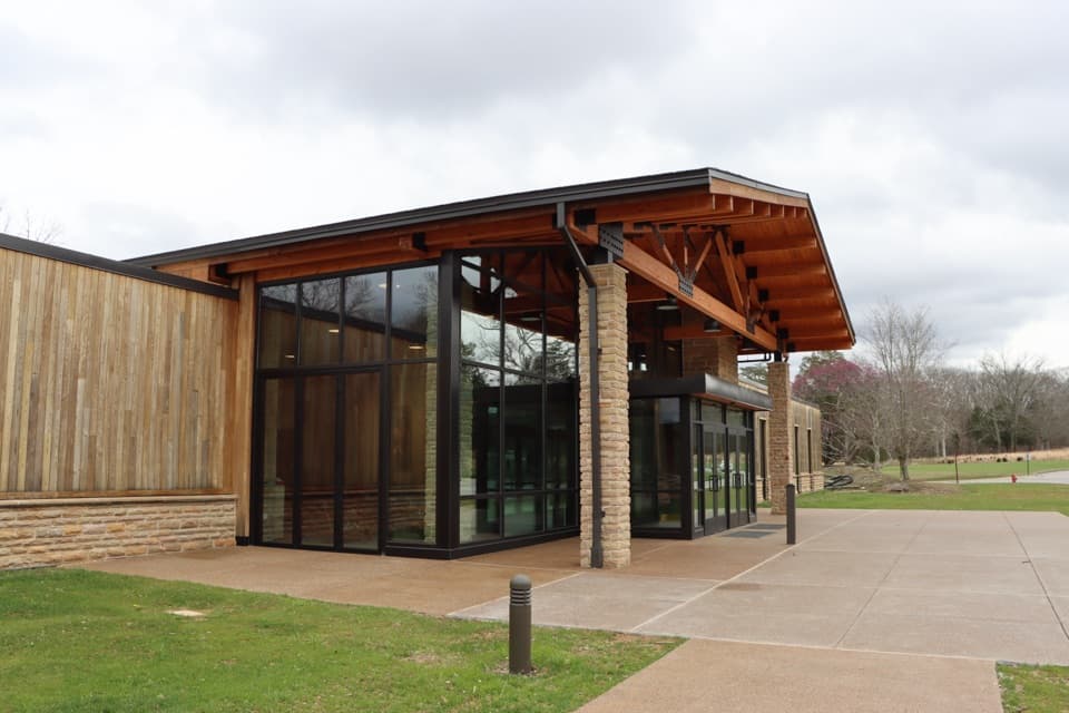 Lodging · 0.3 mi awayThe Lodge at Mammoth CaveIn-park lodging by cave tours, from simple cottages to family cabins.
Parkwolf’s Mammoth Cave ranking

The audio tour guide for the drive, plus offline maps, trails, and wildlife heatmaps for when the signal drops.