Parking
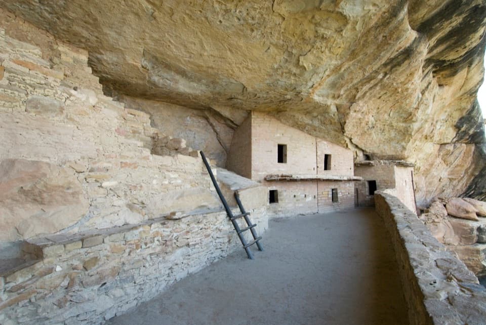
Use the Prater Ridge Trailhead on the west side of Morefield Campground; a surface lot serves the trailhead.
Mesa Verde National Park, CO
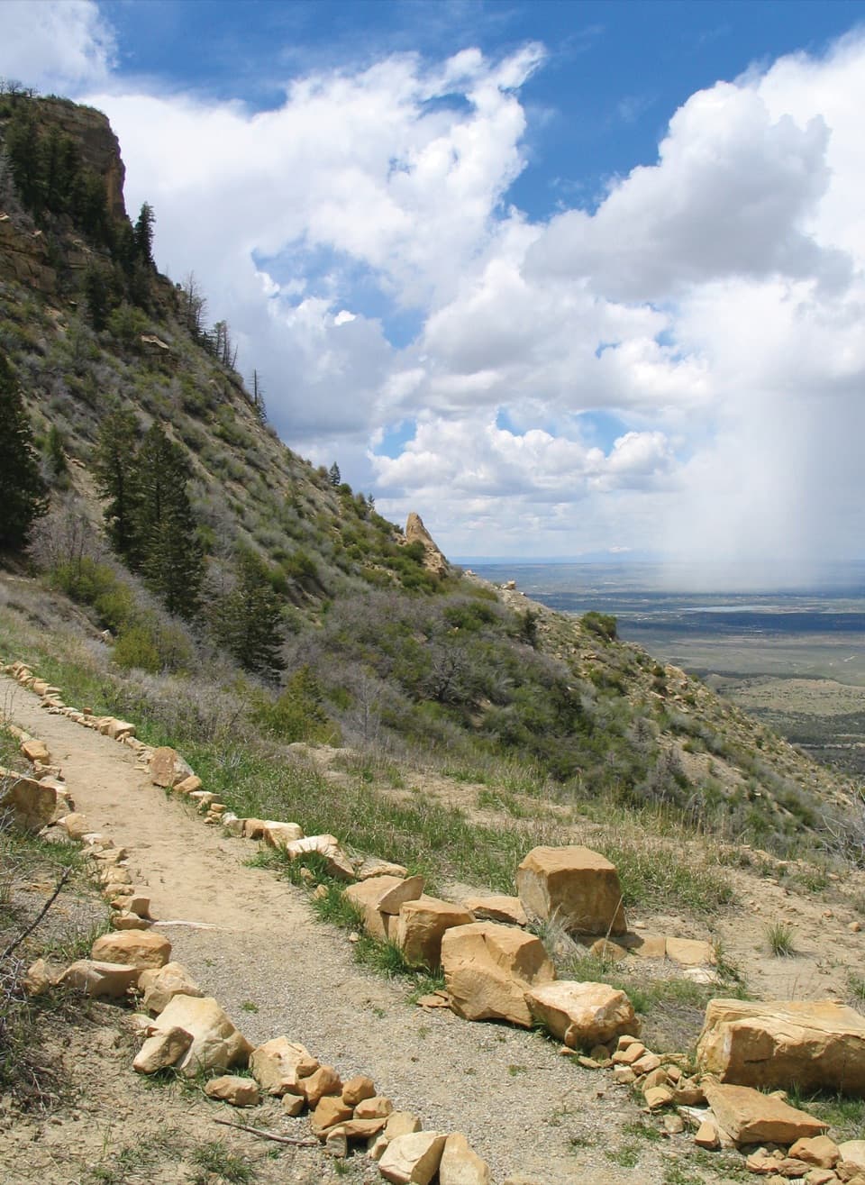
A steady climb opens to Montezuma Valley and San Juan views.
Overview
Prater Ridge North Loop is the longer of two hiking loops on the mesa, a 5.7-mile round trip from Morefield Campground. The ridge circuit itself is listed at 3.6 miles, reached by a 1.1-mile climb; the same approach gets you back to the west-side trailhead. Go for an open high ridge and a look into Montezuma Valley, not for a shaded walk. Plan roughly three to four hours with stops, and take the right branch for the North Loop at the top.
 Parkwolf’s verdictIs this the ridge walk for you?
Map & elevation
Plan your hike

The highest, rockiest slopes around here are a summer buffet for grizzly bears.
Mesa Verde Tour Guide
Parkwolf is a GPS audio tour guide for Mesa Verde National Park. As you drive, it chimes in with what’s ahead: hidden gems, upcoming stops, history, geology, and wildlife, right through your car’s speakers.
Recorded for this trailhead
Prater Ridge Trails“Up ahead is the Prater Ridge trailhead, where a sustained climb leads to open canyon views. For a shorter outing, I'd choose the South Loop: four-point-six miles round trip and about two to three hours.”
Plays as you drive up to this trailhead in the Parkwolf Mesa Verde Tour Guide.
More stories near here in the app
“Fantastic app with many points of information… It’s great to just turn on while you’re driving and it gives you an audio tour of the national Park. We love it!!!!”


Trail guide
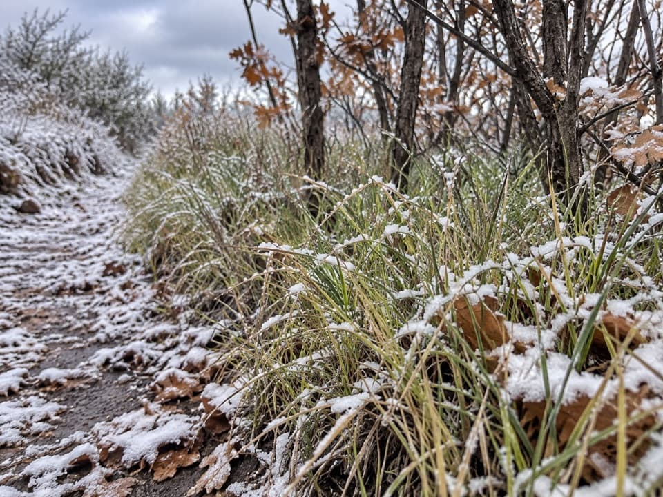
The opening 1.1 miles climbs steadily from the campground to the ridge. A couple of switchbacks work through a low cliff band. The upper route rolls along the mesa edge rather than climbing steadily. At the ridge junction, stay right for the North Loop; the left branch is the separate South Loop.
The North Loop follows the mesa edge high above Montezuma Valley, with the San Juan Mountains beyond. Its high point looks down into the valley. Give yourself time for that stretch instead of rushing through it. For a photo, keep a little ridge or trail foreground in the frame so the landscape has scale.
Prater Ridge separates Prater Canyon and Morefield Canyon. Prater Canyon takes its name from an early pioneer family. The South Loop branches left and is the shorter choice, listed at 4.6 miles round trip, with views into both canyons. You do not need to add it to get the North Loop’s valley-side ridge walk; doing both makes a 7.8-mile outing.
Start at the Prater Ridge Trailhead on the west side of Morefield Campground; a surface lot serves the trailhead. This is day-use only, and pets and bicycles are not allowed. The park warns about dehydration, altitude sickness, and unfenced, unstable cliff edges, so drink water, rest, stay on the trail, and avoid the hottest part of the day.
Wildlife
 36 sightingsBlack BearMost seen around 8 PMSighting map
 159 sightingsMule DeerMost seen around 7 AMSighting map
 14 sightingsGolden EagleMost seen around noonSighting map
 53 sightingsWild HorseMost seen around 7 AMSighting map
 24 sightingsCoyoteMost seen around 8 PMSighting map
 37 sightingsWild TurkeyMost seen around 7 AMSighting map
Sighting maps show where each species has been reported across Mesa Verde. Wildlife moves, so no sighting is guaranteed.
Keep exploring
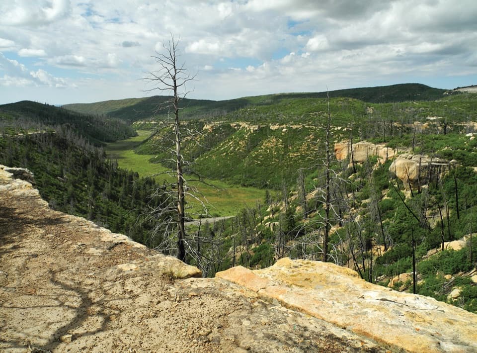 ChallengingPrater Ridge Trail7.8 mi · 4 hr · At the trailheadTwo loops open onto canyons on opposite sides of the ridge.ModeratePrater Ridge South Loop Trail4.6 mi · 2.5 hr · At the trailheadA steady climb buys wide views into two canyon heads.
 EasyKnife Edge Trail1.5 mi · 45 min · 0.7 mi awayA level old road, a wide sunset view over Montezuma Valley.
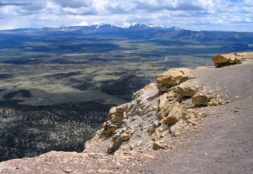 ModeratePoint Lookout Trail2.2 mi · 2 hr · 0.7 mi awaySteep switchbacks lead to valley views and the winding park road.
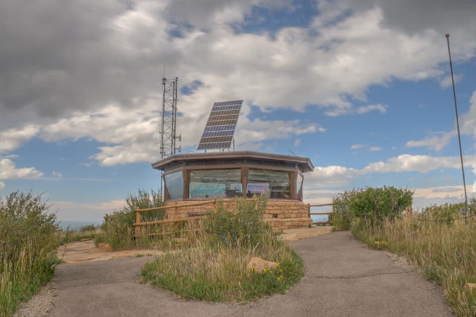 EasyPark Point Overlook Trail0.4 mi · 30 min · 2.7 mi awaySteep paved climb to Four Corners views from Mesa Verde's high point.
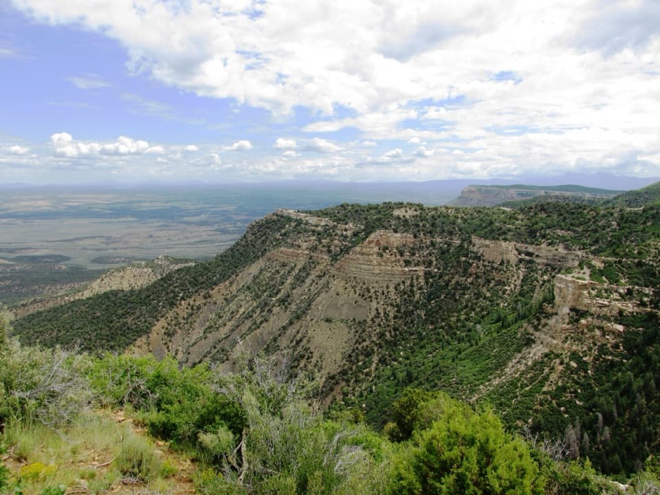 EasyGeologic Overlook Trail0.2 mi · 15 min · 3.8 mi awayTwo Mesa Verde geology viewpoints on a very short uphill walk.
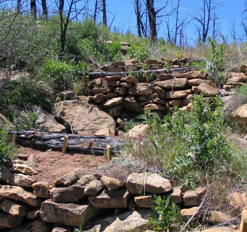 EasyFarming Terrace Trail0.5 mi · 36 min · 7.7 mi awayA half-mile loop through 800-year-old farming terraces
 ChallengingSpruce Canyon Trail2.4 mi · 2 hr · 8.7 mi awayA steep loop into Mesa Verde's cool, shaded canyon.
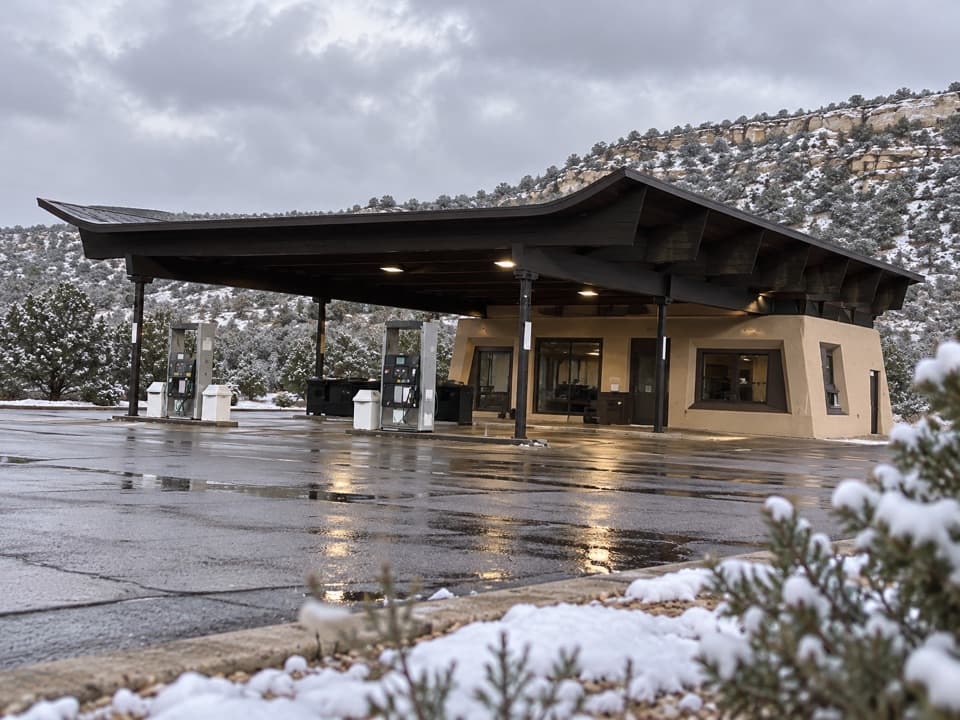 Gas station · 0.2 mi awayMorefield Gas StationYear-round gasoline about four miles beyond the entrance.
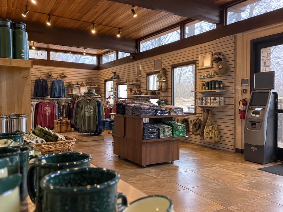 Store · 0.2 mi awayMorefield Campground StoreA quick camp check-in and a fix for the forgotten essential.
 Restaurant · 0.2 mi awayKnife Edge CaféSave a summer morning for all-you-can-eat pancakes.
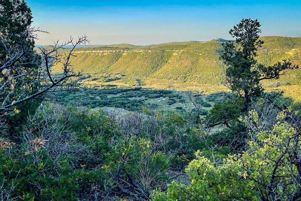 Campground · 0.4 mi awayMorefield CampgroundCamp inside Mesa Verde, four miles beyond the entrance.
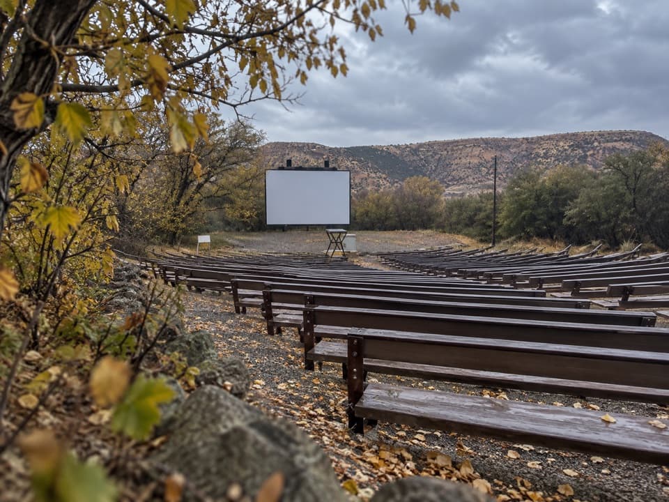 Sight · 0.6 mi awayMorefield Campground AmphitheaterRanger talks here carry on an evening tradition from 1907.
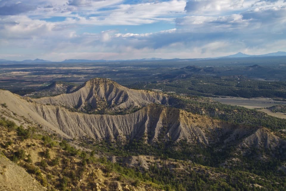 Sight · 0.7 mi awayMancos OverlookA quick roadside panorama across Mancos Valley.
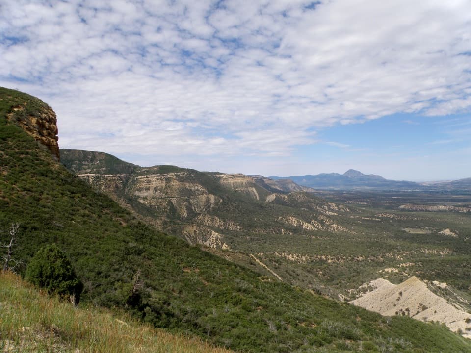 Sight · 1.3 mi awayMontezuma OverlookA broad valley view with a short Knife Edge road story.Sight · 1.4 mi awayPoint LookoutA 2.2-mile climb earns big valley-and-mountain views.
Parkwolf’s Mesa Verde ranking
The audio tour guide for the drive, plus offline maps, trails, and wildlife heatmaps for when the signal drops.