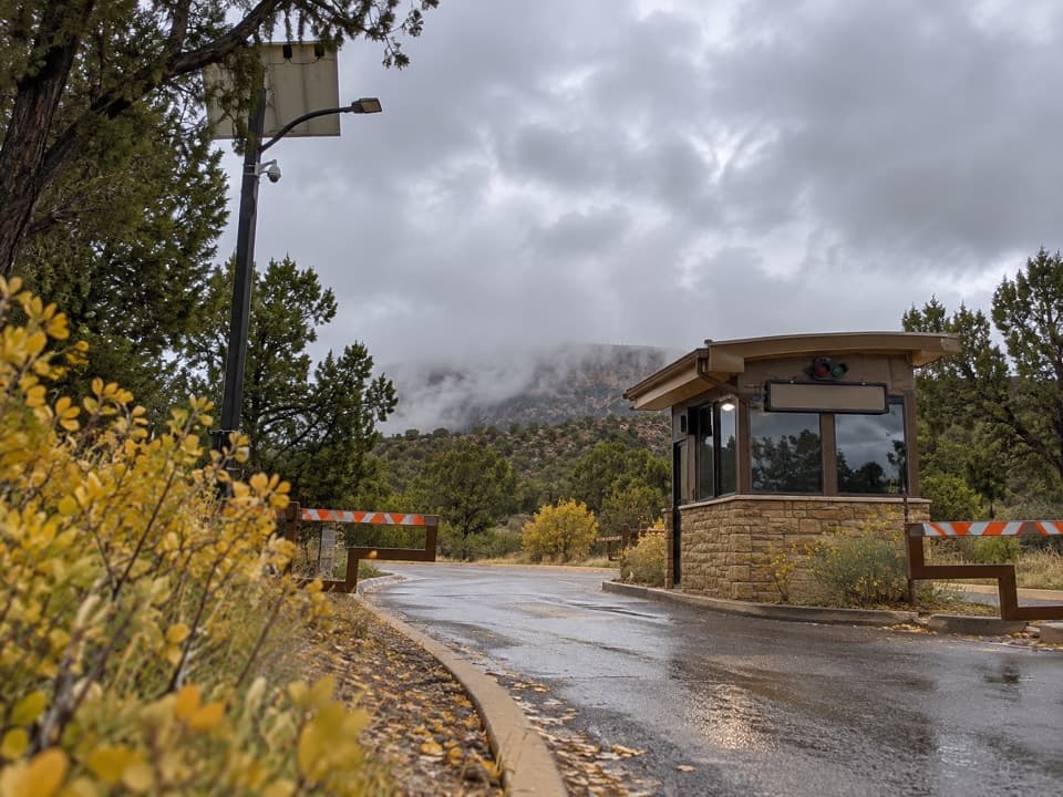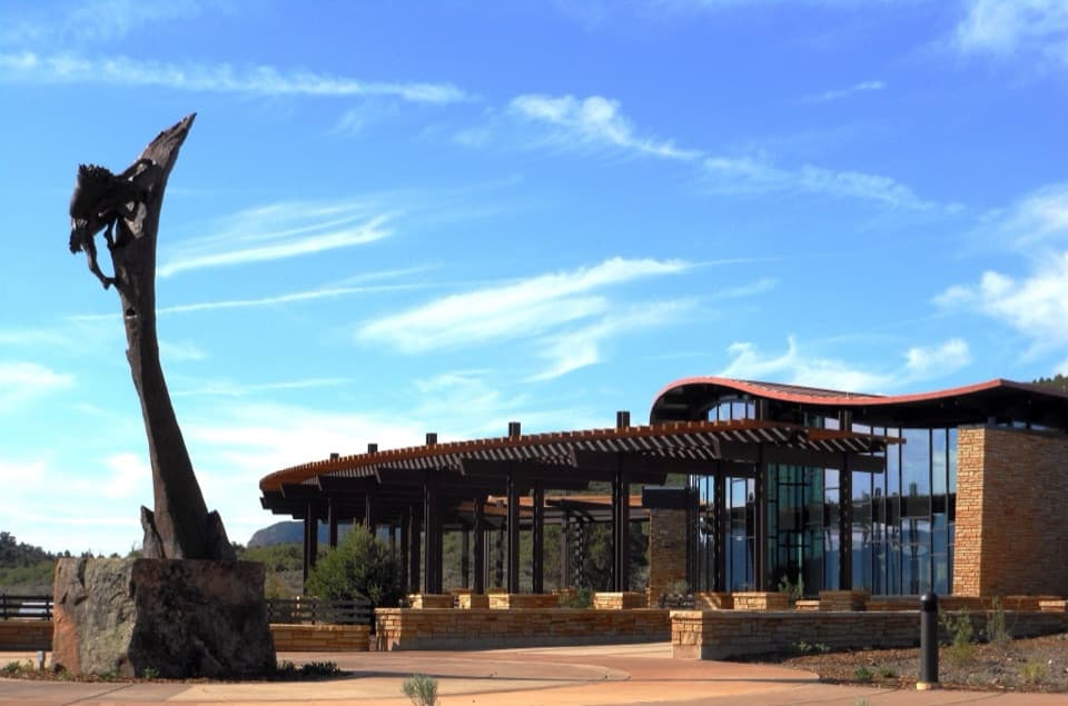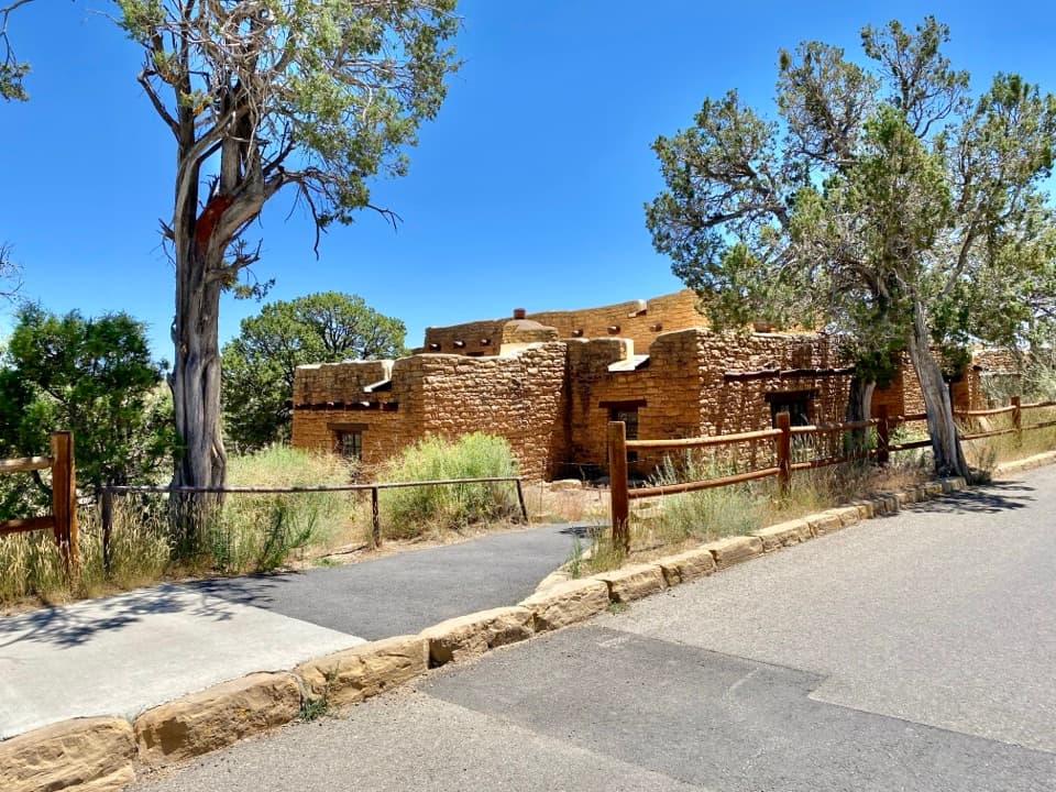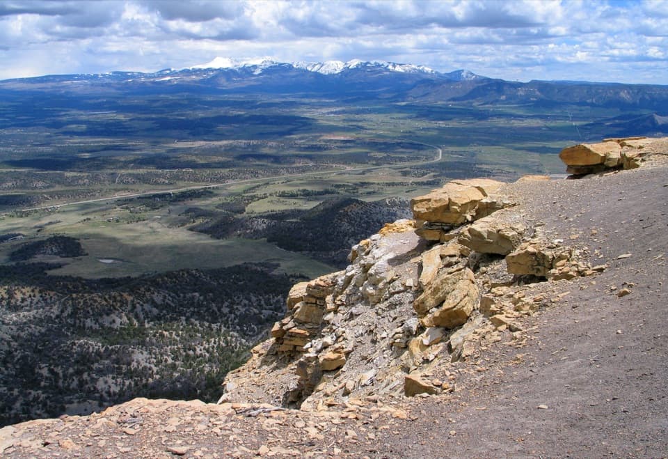
Point Lookout in Mesa Verde National Park

Sight · Mesa Verde National Park

Point Lookout

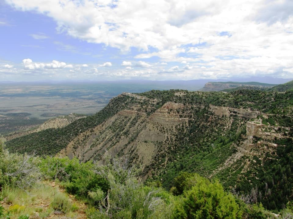
A 2.2-mile climb earns big valley-and-mountain views.

Photo: National Park Service
Type
Sight
Nearest trail
0.7 mi
Audio stories
8 nearby
  • Trailhead
  • Parking
  • Scenic viewpoint

Hear the audio tour

Point Lookout

Overview

About Point Lookout

Why stop

  • Wide views span both valleys and the La Plata and San Juan ranges.

Heads up

  • The steep switchbacks make the summit a real hike, not a roadside stop.

Map

Where it is

Loading the Mesa Verde map
Full map
SightPoint Lookout37.31660, -108.41949
Keep this map with you offline in the Parkwolf app

Plan your stop

Before you go

2 active Mesa Verde alerts

  • ClosureRoad improvements close Far View and Cedar Tree Tower access roadsRoad improvements have closed the access roads to Far View Sites and Cedar Tree Tower to all traffic. - Road work on the first four miles of Main Park Road may cause delays of up to 15 minutes.Official details
  • CautionRockfall area on Knife Edge Trail—keep outDo not enter the rockfall area along the last quarter of Knife Edge Trail; a serious rockfall occurred there. Check current trail information before hiking.Official details

Mesa Verde alerts
A park ranger sits on a dash-mounted phone, talking, as Parkwolf’s Tour Guide plays “Army Cutworm Moths: A Grizzly Bear Buffet” on Grand Loop Road below Dunraven Pass in Yellowstone
Parkwolf Tour GuideThe highest, rockiest slopes around here are a summer buffet for grizzly bears.

Mesa Verde Tour Guide

Your drive to Point Lookout, narrated.

Parkwolf is a GPS audio tour guide for Mesa Verde National Park. As you drive, it chimes in with what’s ahead: hidden gems, upcoming stops, history, geology, and wildlife, right through your car’s speakers.

See the Mesa Verde audio tour

Recorded for this place

Point Lookout
0:00 / 0:30
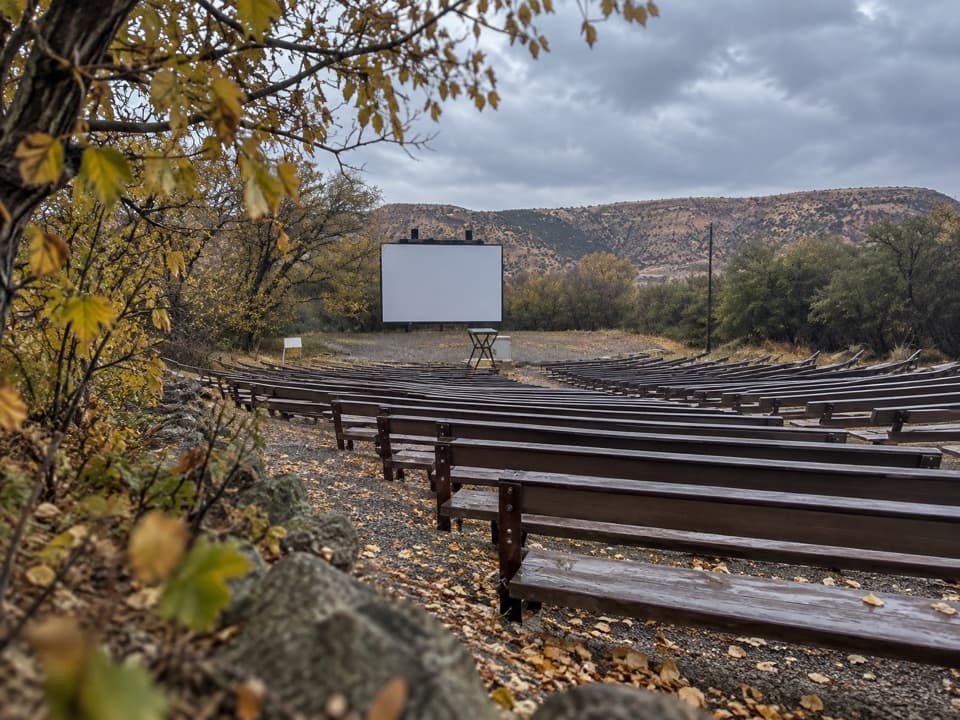
“You're coming up on the Point Lookout trailhead beside Morefield's amphitheater.”

Plays as you drive up to Point Lookout in the Parkwolf Mesa Verde Tour Guide.

More stories near here in the app

  • Where the Families Went
  • Mancos Valley Overlook
  • Knife Edge Trail
  • Morefield Campground and Village
  • 43 audio storiesacross Mesa Verde’s roads, triggered by GPS as you drive
  • Wildlife heatmapsfor Black Bear, Mule Deer, Golden Eagle, and 13 more
  • Works offlinemaps, 22 trails, 48 places, and audio download before you lose signal
  • CarPlay readysimple controls built for the drive
★★★★★
“Fantastic app with many points of information… It’s great to just turn on while you’re driving and it gives you an audio tour of the national Park. We love it!!!!”
JMJamesApp Store review
Download Parkwolf on the App StoreGet Parkwolf on Google Play

4.7 from 8,600+ ratings

Guide

More about Point Lookout

The summit is the stopPoint Lookout is the sandstone-capped formation above Mesa Verde's entrance, reached on foot by…

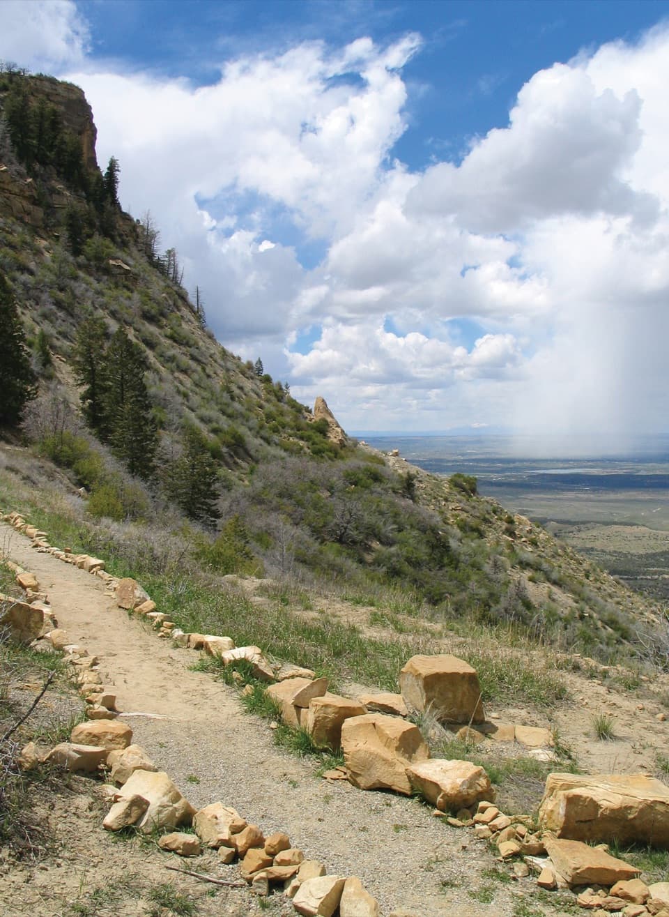
Point Lookout is the sandstone-capped formation above Mesa Verde's entrance, reached on foot by steep switchbacks rather than a summit road. The 2.2-mile round trip starts beside Morefield Campground's Amphitheater Parking Lot, gains 400 feet and takes about two hours. It is rated moderate, though hikers often find the climb strenuous at this elevation. Leave time to catch your breath and look around at the top.

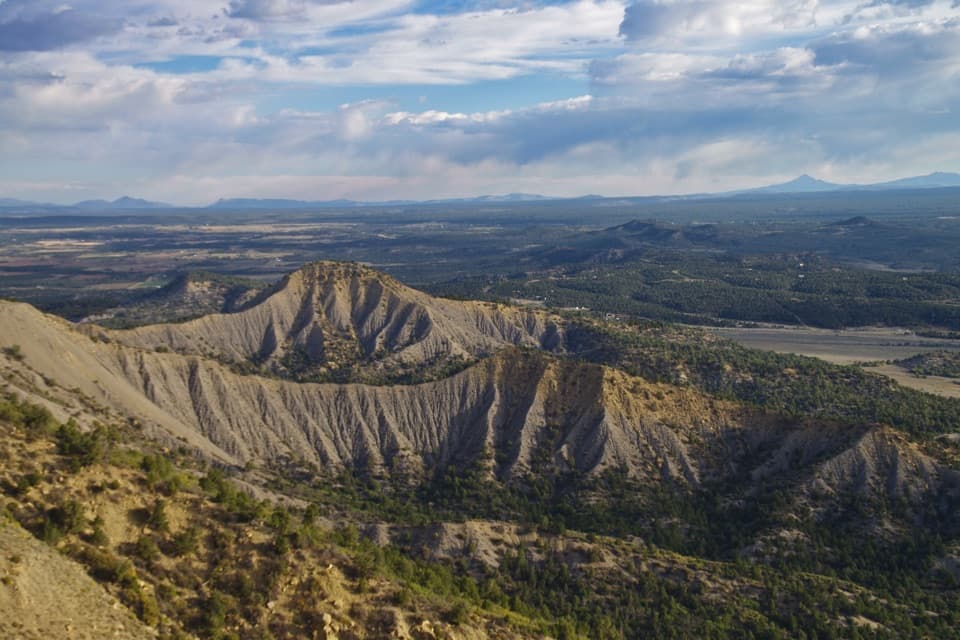
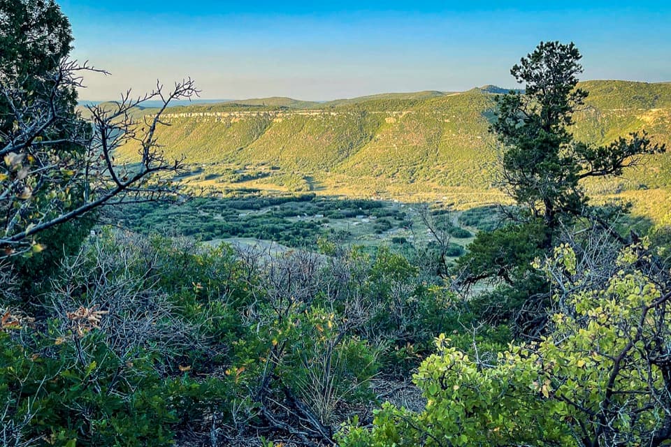
Take in the whole sweepFrom the summit, the view reaches across Mancos and Montezuma valleys to the San Juan and La…

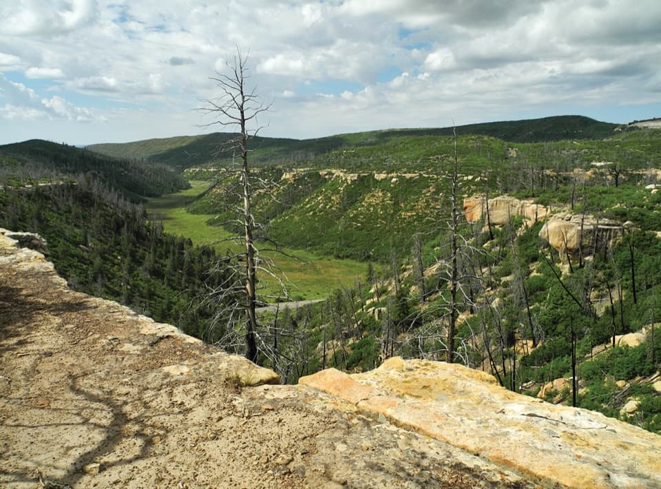
From the summit, the view reaches across Mancos and Montezuma valleys to the San Juan and La Plata Mountains. The historic entrance road winds up onto the mesa below. For a photo that explains the place, include a bend of that road beneath the far ridges; getting that frame means hiking up from the trailhead.

What the sandstone recordsThe Point Lookout Formation sits above Mancos Shale.

The Point Lookout Formation sits above Mancos Shale. As the Western Interior Seaway retreated and its water grew shallower, beach sands replaced the shale deposits. The tan-to-buff sandstone contains shale lenses; fossils recorded in the formation include clams, ammonites, crustaceans, driftwood and palm leaves. Geologists named the Mesaverde Group in 1875, with Point Lookout as its oldest formation.

The mountains on the horizonThe La Plata Mountains took shape during the Laramide mountain-building episode, which began…

The La Plata Mountains took shape during the Laramide mountain-building episode, which began about 65 million years ago. Magma pushed rock layers upward without erupting at the surface. On a clear day, those mountains are part of the far-reaching view from the summit.

Keep to the trailThis is a day-use hike; pets and bicycles are not allowed.

This is a day-use hike; pets and bicycles are not allowed. Nearby cliff edges are unfenced and unstable, so stay on the route.

Wildlife

Wildlife in Mesa Verde

All Mesa Verde wildlife maps

Sighting maps show where each species has been reported across Mesa Verde. Wildlife moves, so no sighting is guaranteed.

Keep exploring

Near Point Lookout

See it all on the map

Trails nearby

More stops nearby

Parkwolf’s Mesa Verde ranking

Top sights in Mesa Verde

All 48 places
  1. 1Cliff PalaceSight
  2. 2Balcony HouseSight
  3. 3Long HouseSight
  4. 4Spruce Tree House OverlookSight
  5. 5Square Tower House OverlookSight
  6. 6Mesa Verde MuseumSight

Take Parkwolf to Mesa Verde.

The audio tour guide for the drive, plus offline maps, trails, and wildlife heatmaps for when the signal drops.

4.7 from 8,600+ ratings

Download Parkwolf on the App StoreGet Parkwolf on Google Play