
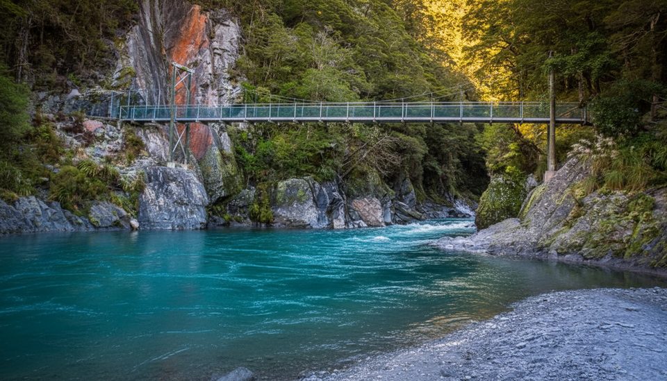
Place · 1 mi away
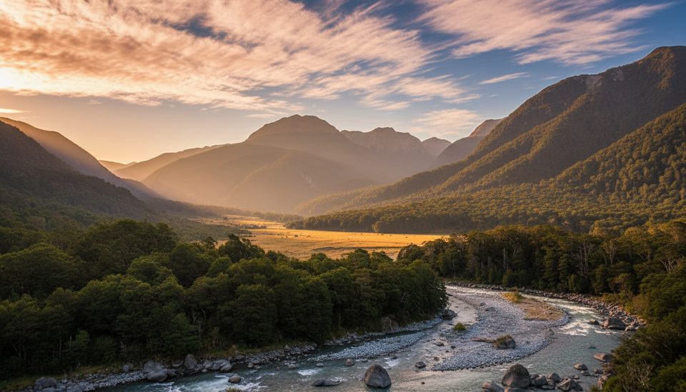
Cameron Lookout is a quick forest climb to a small viewing platform above Cameron Creek with sweeping views down the Makarora Valley toward Mount Birnam. It’s the classic Haast Pass leg‑stretcher—short, pretty, and a welcome break from the windshield.
From the carpark on State Highway 6, a well-formed track heads through silver beech with short bridges over side streams. Expect a gentle but steady climb of roughly 35–60 m over about 1.1 km return. Most people take around 20–30 minutes, though some guides suggest allowing up to an hour if you’re ambling.
At the platform (fits a small group), you look straight over Cameron Creek—there’s even a neat oxbow visible below—and out to the broader Makarora Valley. Along the way, pockets of mossy trunks and big native trees (miro, rimu, hīnau, red beech) make the walk itself part of the show.
Listen for native birds in the beech: bellbird, tūī, fantail, bush robin, and the tiny rifleman are all reported here, with occasional sightings of kākā, kākāriki, and even whio on local waterways. Bring a bit of patience and you’ll likely be rewarded with birdsong.
Beyond the lookout the route turns rough as the Cameron Valley Track heads toward Cameron Hut (about 5 hours one way). Expect exposed sidles, an unstable slip area, unmarked river flats, and multiple river crossings that can become impassable when levels rise. Treat this as a full tramping route for fit, experienced parties only.
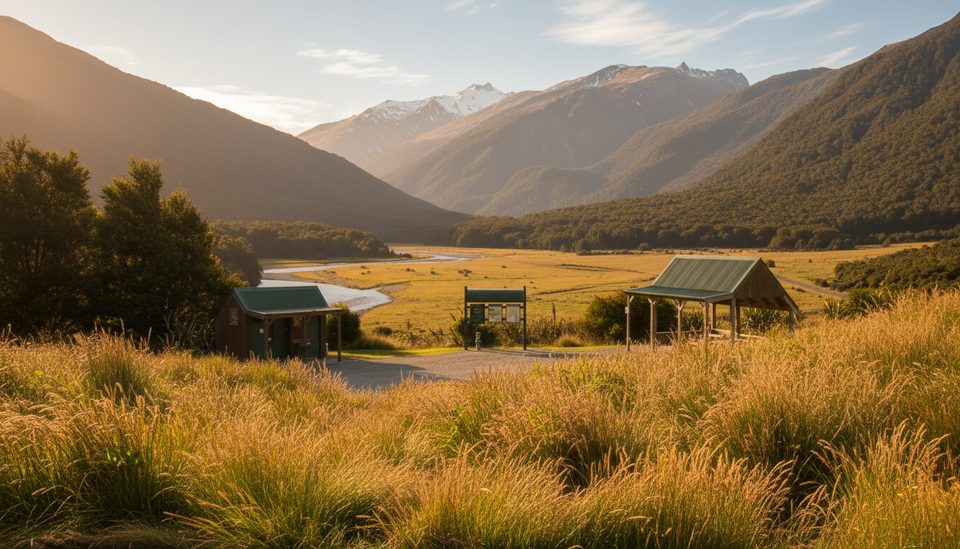
There’s a small roadside carpark and an information kiosk, but no toilets, water, or bins—plan to pack in/out and use facilities elsewhere along SH6. Footwear: sturdy walking shoes are fine to the lookout; tramping boots if you’re continuing up-valley.
This is an anytime stop when driving Haast Pass. It’s short enough to squeeze into a travel day and is usually quieter than the headline stops nearby. After rain, sections can be slippery. If you’re heading past the platform into the valley, note that avalanche risk typically affects the area May–November and river levels dictate progress—choose a settled-weather window.
Place · 1 mi away
Place · 1 mi away
Place · 1.8 mi away
Place · 1.8 mi away
Easy · 1 mi away
Easy · 1.8 mi away
Challenging · 6.8 mi away
Easy · 6.8 mi away

Parkwolf Tour Guide
