Parking
Cameron Lookout/Cameron Creek car park on SH6, about 70 km north of Wānaka.

Mount Aspiring National Park, OT · WC
Steep gorge bluffs lead to a remote four-bunk hut.
Overview
Map & elevation
Plan your hike

The highest, rockiest slopes around here are a summer buffet for grizzly bears.
Mount Aspiring Tour Guide
Parkwolf is a GPS audio tour guide for Mount Aspiring National Park. As you drive, it chimes in with what’s ahead: hidden gems, upcoming stops, history, geology, and wildlife, right through your car’s speakers.
See the Mount Aspiring audio tourRecorded for this trailhead
Cameron Lookout: Turn Around at the Platform“Ahead is Cameron Lookout car park, for a short climb through silver beech forest.”
Plays as you drive up to this trailhead in the Parkwolf Mount Aspiring Tour Guide.
More stories near here in the app
“Fantastic app with many points of information… It’s great to just turn on while you’re driving and it gives you an audio tour of the national Park. We love it!!!!”


Trail guide
Cameron Track to Cameron Hut is a 14 km return out-and-back from Cameron Lookout/Cameron Creek car park on SH6. It climbs above the Cameron Gorge, crosses the river, then threads through native forest to a grassy flat and the four-bunk hut. DOC calls it an advanced tramping track and allows 5–6 hours each way, so a same-day return means roughly 10–12 hours on foot. This is a demanding hut trip; the shorter Cameron Lookout walk from the same car park is a separate route.
The track climbs through a series of small bluffs, then sidles above the gorge. Some traverses are narrow, steep and exposed above drop-offs. Roots and rocky steps make the footing technical, with repeated ups and downs despite the short map distance. At the valley entrance, towering bluffs frame a cascading waterfall; this is the route’s signature view.
About two hours from the car park, the track crosses a large slip to the river. There is no bridge; the route re-enters forest about 20 metres downstream. The ford can be impassable during or after rain, and spring snowmelt can raise it even in dry weather. Judge the crossing before committing to the hut and again before the return; be ready to turn back or wait for the water to drop.
Beyond the ford, the track climbs steadily and sidles along the valley, dropping twice toward the river before descending to the south branch of Cameron Creek and a grassy flat. The marked track ends there, with Cameron Hut on the true left at the flat’s southern end. The standard hut has four bunks, heating, mattresses, a non-flush toilet and stream water; it is first come, with no booking. DOC recommends carrying a tent in summer because the hut can fill.
Weather can change rapidly, and DOC warns that hypothermia is a real risk even in summer. Winter can bring muddy, slippery footing and occasional snow. Dogs are not allowed. The exposed bluffs and unbridged crossing make this a poor choice when you are not equipped for a serious backcountry tramp.
Wildlife
 60 sightingsKeaMost seen around 5 PMSighting map
 112 sightingsRockwrenMost seen around 8 AMSighting map
 26 sightingsYellowheadMost seen around 8 AMSighting map
 13 sightingsTūīMost seen around 7 AMSighting map
 27 sightingsBellbirdMost seen around 7 AMSighting map
 35 sightingsRiflemanMost seen around 8 AMSighting map
Sighting maps show where each species has been reported across Mount Aspiring. Wildlife moves, so no sighting is guaranteed.
Keep exploring
 EasyCameron Lookout Walk1 km · 20 min · At the trailheadShort climb through silver beech to a Cameron Creek lookout.
 ChallengingBlue Valley Track to Camp Flat5 km · 5 hr · 1.3 km awaySteep beech forest opens at a grassy camp beside the Blue River.
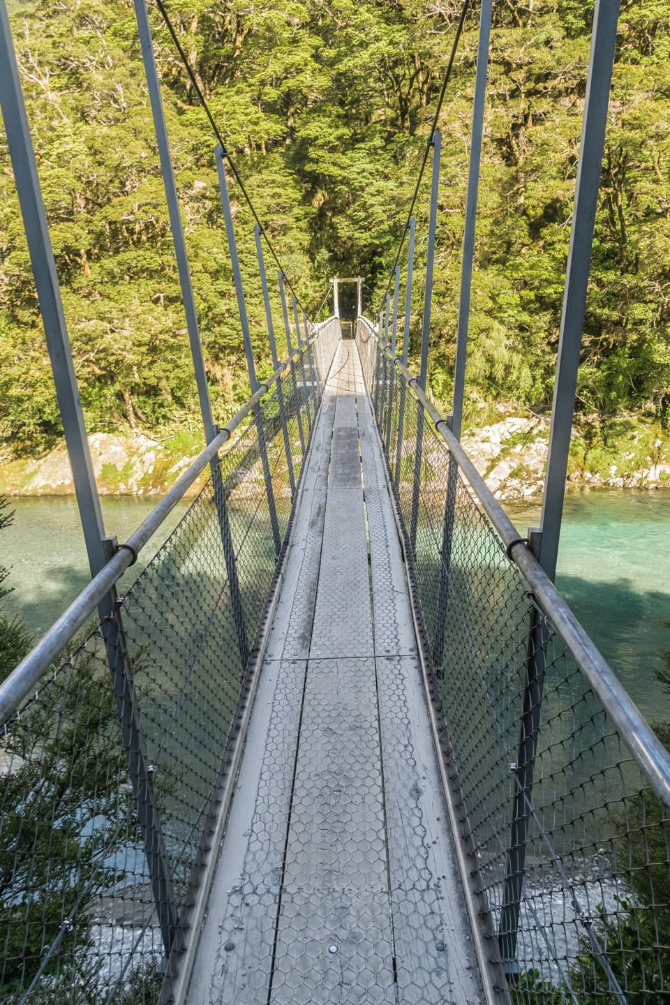 ModerateYoung River Link Track14 km · 3.5 hr · 1.4 km awayA longer Blue Pools walk to the Young River mouth.
 EasyBlue Pools Track3.2 km · 1.5 hr · 1.4 km awayTwo swingbridges make this easy walk feel like an adventure.
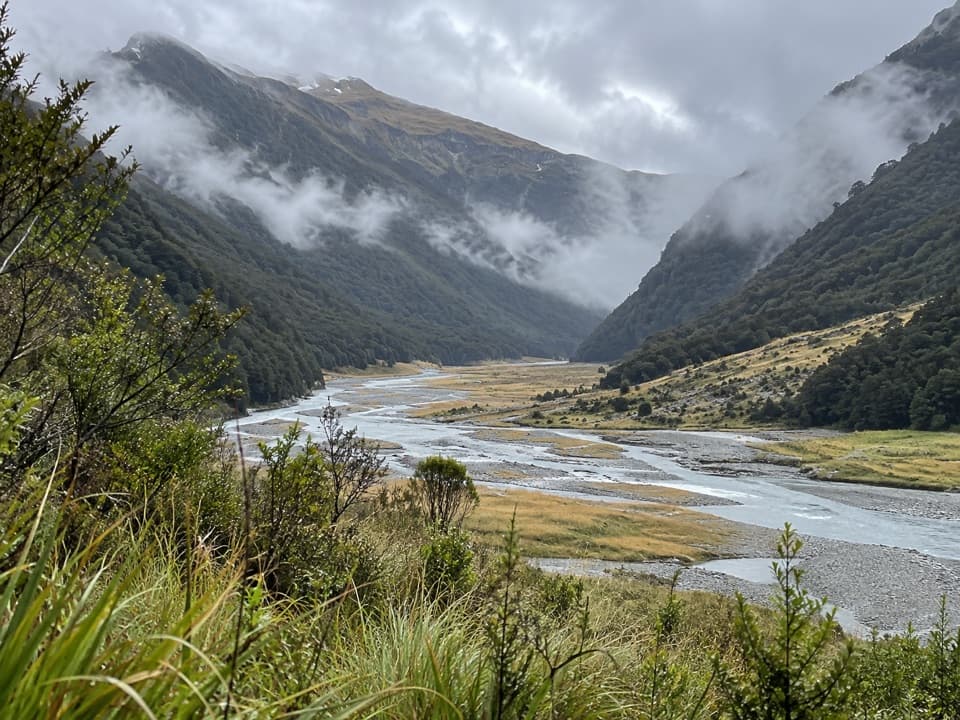 ChallengingMakarora Track to Makarora Hut21 km · 14 hr · 2.7 km awayA rough valley tramp to a four-bunk hut beneath Mount Brewster.
 ChallengingYoung River Track to Young Hut32.5 km · 13 hr · 5.7 km awayA remote hut trek with a dangerous river crossing and unstable slips
 ModerateHaast Pass Lookout Track1.5 km · 1 hr · 6.8 km awayA short climb to a timber-railed Southern Alps lookout.
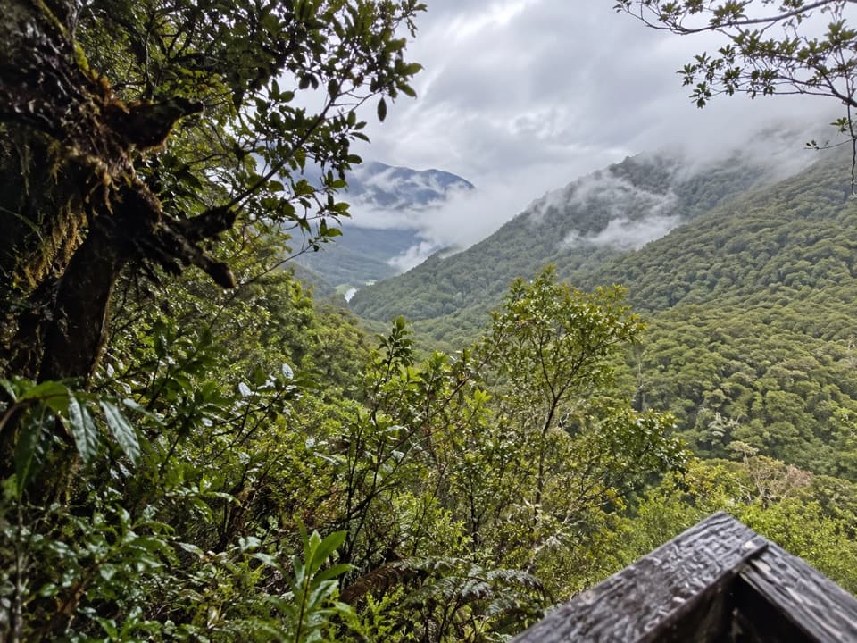 EasyBridle Track3.5 km · 1.5 hr · 6.8 km awayWalk a graded stretch of the old Otago to Westland route
 Sight · 0.4 km awayCameron LookoutA short beech-forest climb to a platform above Cameron Creek.
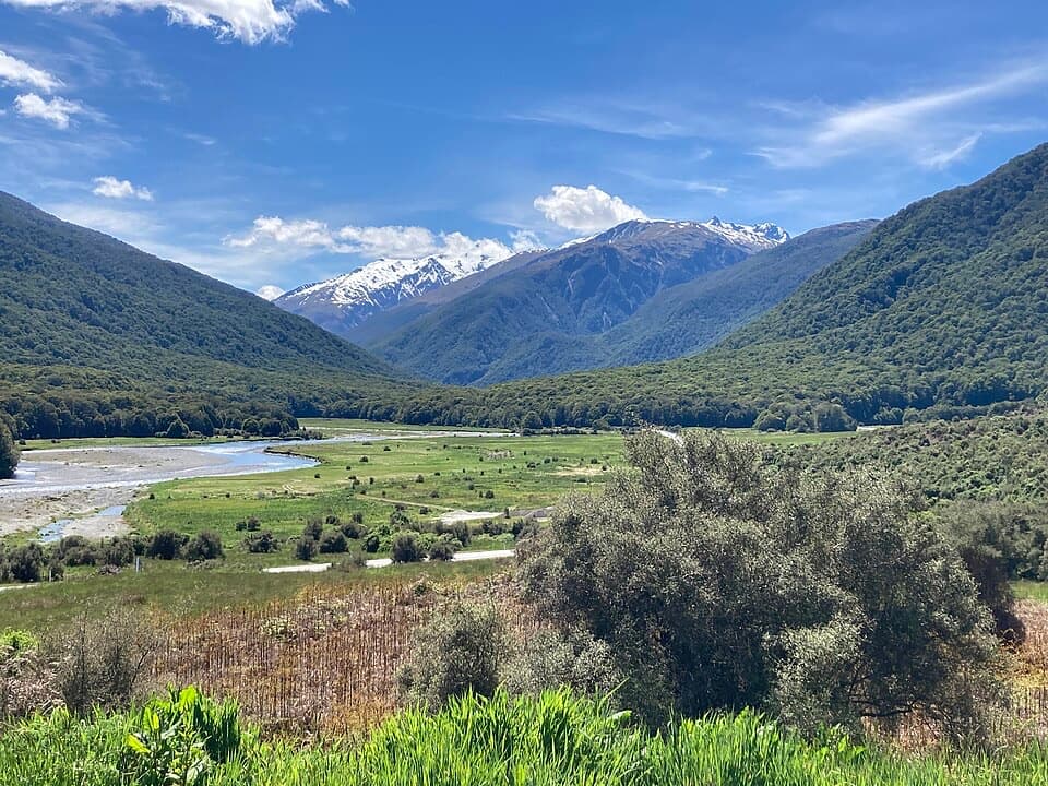 Campground · 1.4 km awayCameron Flat CampsiteA simple campsite opposite the Blue Pools track.
 Sight · 2.6 km awayBlue PoolsTwo swing bridges lead to blue water, when the weather cooperates.
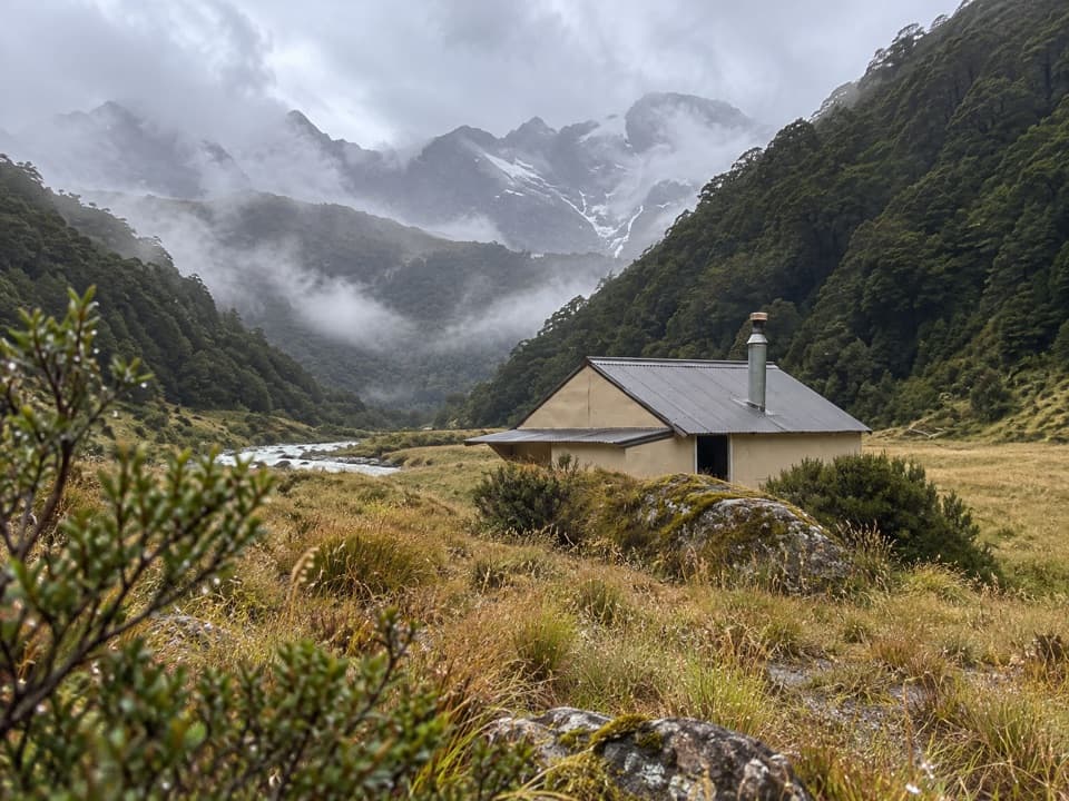 Lodging · 5 km awayCameron HutA four-bunk hut beyond a steep gorge and unbridged river.Sight · 6.8 km awayHaast Pass LookoutA steep climb buys a higher view over Haast Pass.
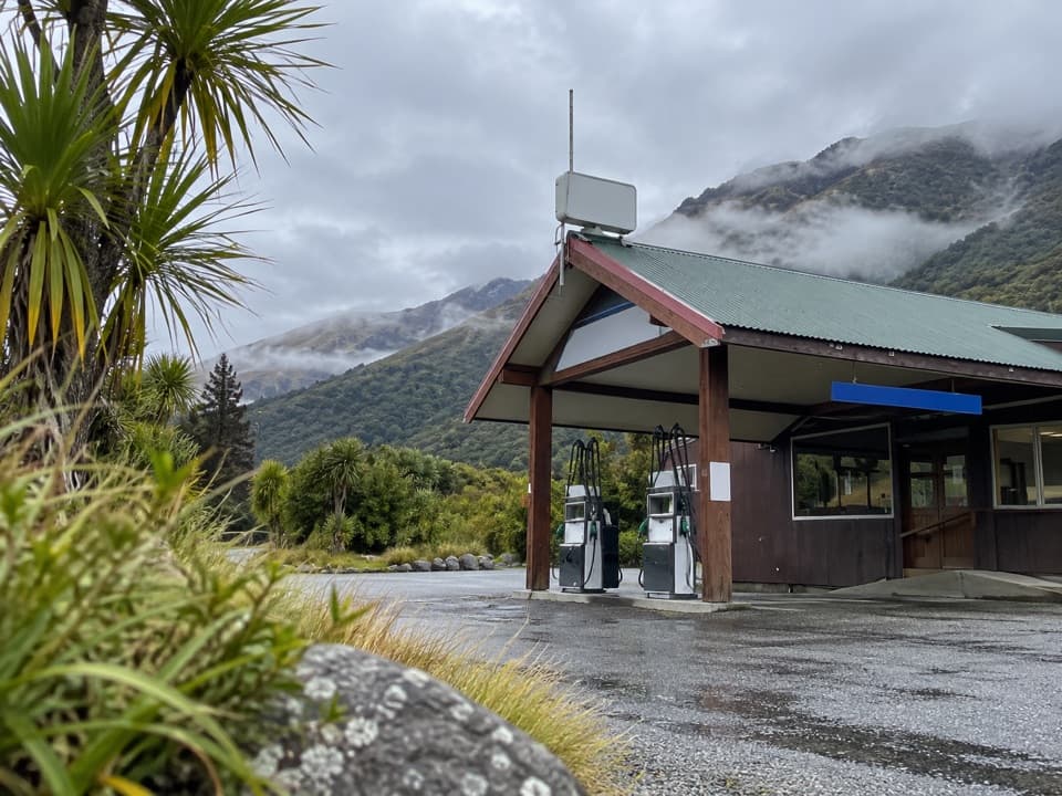 Gas station · 10.2 km awayMakarora Allied Fuel StopA handy top-up, but keep a backup fuel plan.
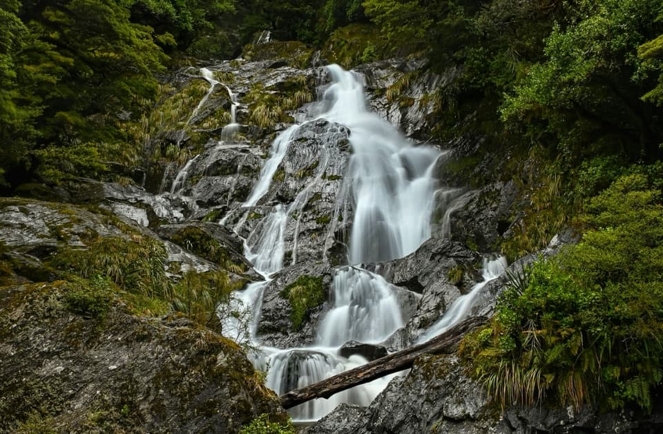 Sight · 10.9 km awayFantail FallsA five-minute walk to a 23 m fan-shaped waterfall.
 Lodging · 11.4 km awayMakarora HutA small four-bunk hut at the end of a challenging valley tramp.
Parkwolf’s Mount Aspiring ranking

The audio tour guide for the drive, plus offline maps, trails, and wildlife heatmaps for when the signal drops.



