Parking
Start at the roadside car park at Haast Pass/Tioripatea on State Highway 6. The nearest listed toilets are at Cameron Flat Campsite, about 10 km south.

Mount Aspiring National Park, OT · WC
A short climb to a timber-railed Southern Alps lookout.
Overview
Map & elevation
Plan your hike

The highest, rockiest slopes around here are a summer buffet for grizzly bears.
Mount Aspiring Tour Guide
Parkwolf is a GPS audio tour guide for Mount Aspiring National Park. As you drive, it chimes in with what’s ahead: hidden gems, upcoming stops, history, geology, and wildlife, right through your car’s speakers.
See the Mount Aspiring audio tourRecorded for this trailhead
Haast Pass Lookout at Tioripatea“You're approaching the Haast Pass lookout car park at Tioripatea. The view of Mount Brewster is above the beech forest, reached by a steep one point five kilometre return walk taking about an hour.”
Plays as you drive up to this trailhead in the Parkwolf Mount Aspiring Tour Guide.
More stories near here in the app
“Fantastic app with many points of information… It’s great to just turn on while you’re driving and it gives you an audio tour of the national Park. We love it!!!!”


Trail guide
Haast Pass Lookout Track is a 1.5 km return walk from the Haast Pass/Tioripatea car park on State Highway 6 to an open viewpoint above the beech forest. Allow about an hour round trip for the sustained climb of roughly 150 m and the same track back down. It is a worthwhile leg-stretcher when the mountain ridges are clear; low cloud can take away most of the view that makes the climb worthwhile.
The gravel track climbs through silver beech before emerging above the bushline. It is short but steadily uphill, so the grade can feel more demanding than the distance suggests. Turn around at the viewpoint and retrace the same route; this is an out-and-back, not a loop.
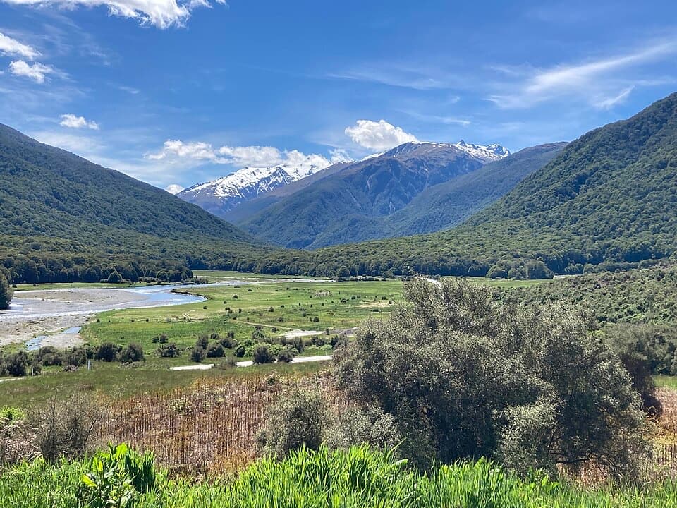
The top is a small gravel platform with a timber railing above a forested valley. The Southern Alps fill the wider view, with Mount Brewster prominent to the northeast on a clear day. For a photo, include the railing in the foreground and the valley and ridges beyond; it shows the actual viewpoint as well as the landscape.
Tioripatea is glossed as “the way ahead is clear.” Māori crossed the pass between Central Otago and the West Coast to trade pounamu and food. Charles Cameron is generally credited with the first European crossing in 1863; Julius Haast followed soon after with a party of four. The highway reached Haast in 1960, and its northern link through Westland was completed in 1965.
Start at the roadside car park at Haast Pass/Tioripatea on State Highway 6. The nearest listed toilets are at Cameron Flat Campsite, about 10 km south; no food stop on the route was identified. Dogs and other pets are not permitted in New Zealand national parks.
Wildlife
 60 sightingsKeaMost seen around 5 PMSighting map
 112 sightingsRockwrenMost seen around 8 AMSighting map
 26 sightingsYellowheadMost seen around 8 AMSighting map
 13 sightingsTūīMost seen around 7 AMSighting map
 27 sightingsBellbirdMost seen around 7 AMSighting map
 35 sightingsRiflemanMost seen around 8 AMSighting map
Sighting maps show where each species has been reported across Mount Aspiring. Wildlife moves, so no sighting is guaranteed.
Keep exploring
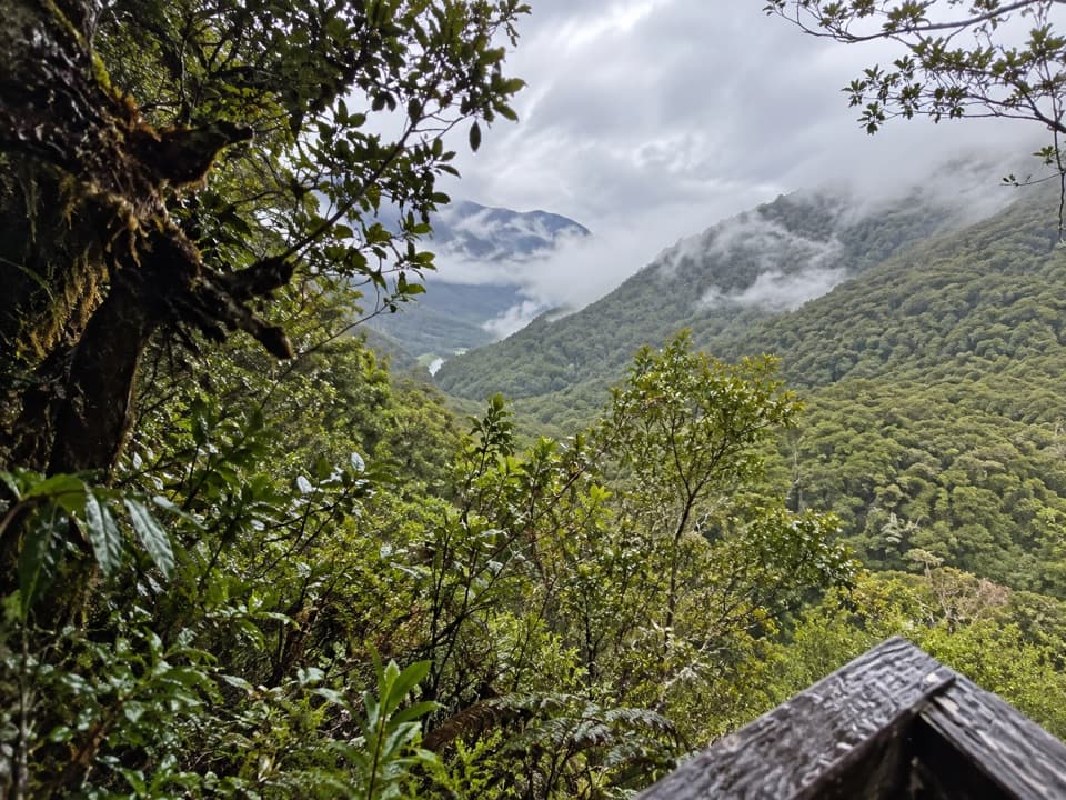 EasyBridle Track3.5 km · 1.5 hr · At the trailheadWalk a graded stretch of the old Otago to Westland route
 ChallengingBrewster Track5.6 km · 7 hr · 4.2 km awayA steep alpine climb to a hut above the Haast River
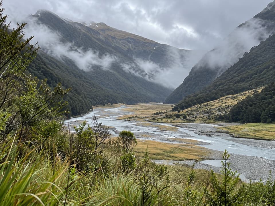 ChallengingMakarora Track to Makarora Hut21 km · 14 hr · 4.2 km awayA rough valley tramp to a four-bunk hut beneath Mount Brewster.
 EasyFantail Falls Walk0.2 km · 5 min · 4.2 km awayA five-minute return walk to a fan-shaped waterfall.
 EasyCameron Lookout Walk1 km · 20 min · 6.8 km awayShort climb through silver beech to a Cameron Creek lookout.
 ChallengingCameron Track to Cameron Hut14 km · 11 hr · 6.8 km awaySteep gorge bluffs lead to a remote four-bunk hut.
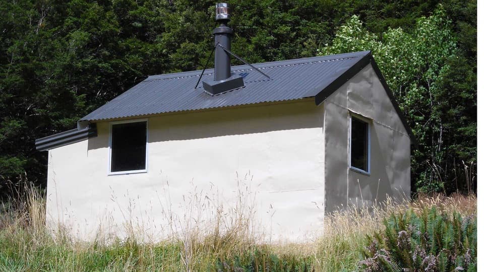 ChallengingWills Valley Track15 km · 11 hr · 7.8 km awayAn unstable gorge approach leads to a remote four-bunk hut.
 EasyThunder Creek Falls Walk0.2 km · 9 min · 7.9 km awayA sealed path ends above Haast River, facing a 28 m waterfall.Sight · 0.3 km awayHaast Pass LookoutA steep climb buys a higher view over Haast Pass.
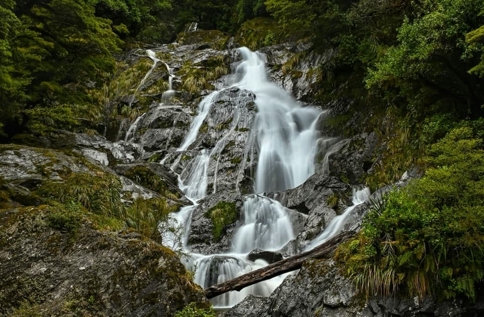 Sight · 4.1 km awayFantail FallsA five-minute walk to a 23 m fan-shaped waterfall.
 Lodging · 5.1 km awayBrewster HutA 12-bunk alpine hut at the end of a steep climb.
 Sight · 6.8 km awayCameron LookoutA short beech-forest climb to a platform above Cameron Creek.
 Lodging · 7.3 km awayMakarora HutA small four-bunk hut at the end of a challenging valley tramp.
 Sight · 7.8 km awayGates of HaastBlue-green rapids under a narrow truss bridge make a quick stop.
 Sight · 7.8 km awayThunder Creek FallsA five-minute forest walk to a 28 m waterfall.
 Campground · 8.1 km awayCameron Flat CampsiteA simple campsite opposite the Blue Pools track.
Parkwolf’s Mount Aspiring ranking

The audio tour guide for the drive, plus offline maps, trails, and wildlife heatmaps for when the signal drops.



