Pros & cons
PROS
- Spectacular alpine traverse right above the lake on the way to Harris Saddle
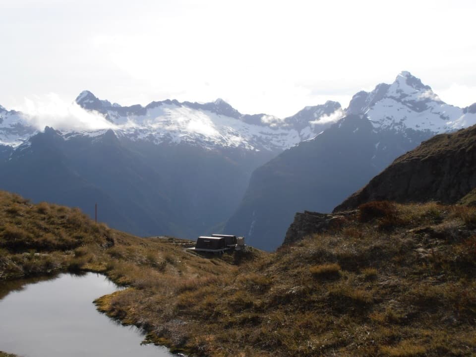
- Harris Saddle Shelter is only a few minutes from the shoreline
- Frequent kea encounters around the saddle area
CONS
- Fully alpine and exposed; weather turns quickly with steep drop‑offs
- No road access—reached only by a substantial hike on the Routeburn Track
- Outside Great Walks season there’s avalanche risk and winter hazards
Overview
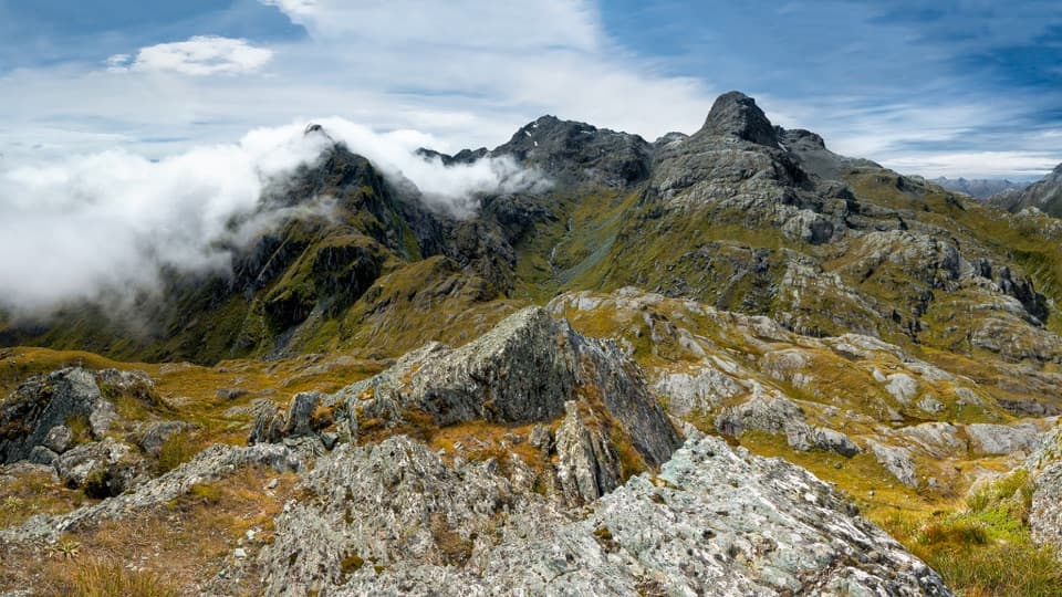
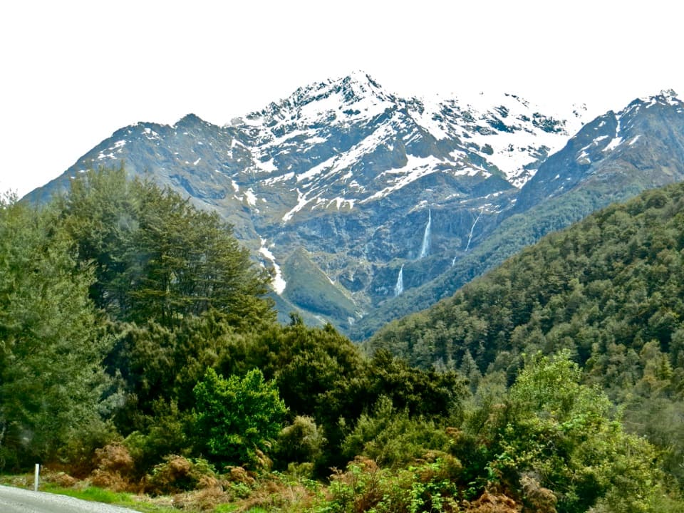
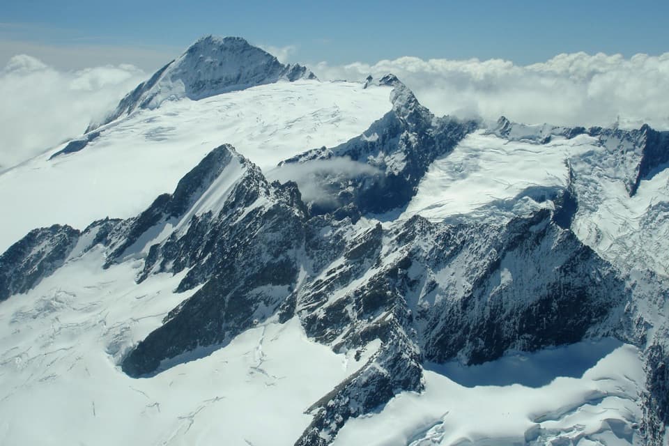
Lake Harris is a high alpine jewel tucked beside the Routeburn Track between Routeburn Falls Hut and Harris Saddle/Tarahaka Whakatipu (1,255 m). The track sidles across bluffs above the lake, so you’re looking down into a glacier‑carved basin while climbing to the saddle. Expect huge vistas, reflective water, and that “I’m properly in the mountains” feeling.
Getting There on the Track
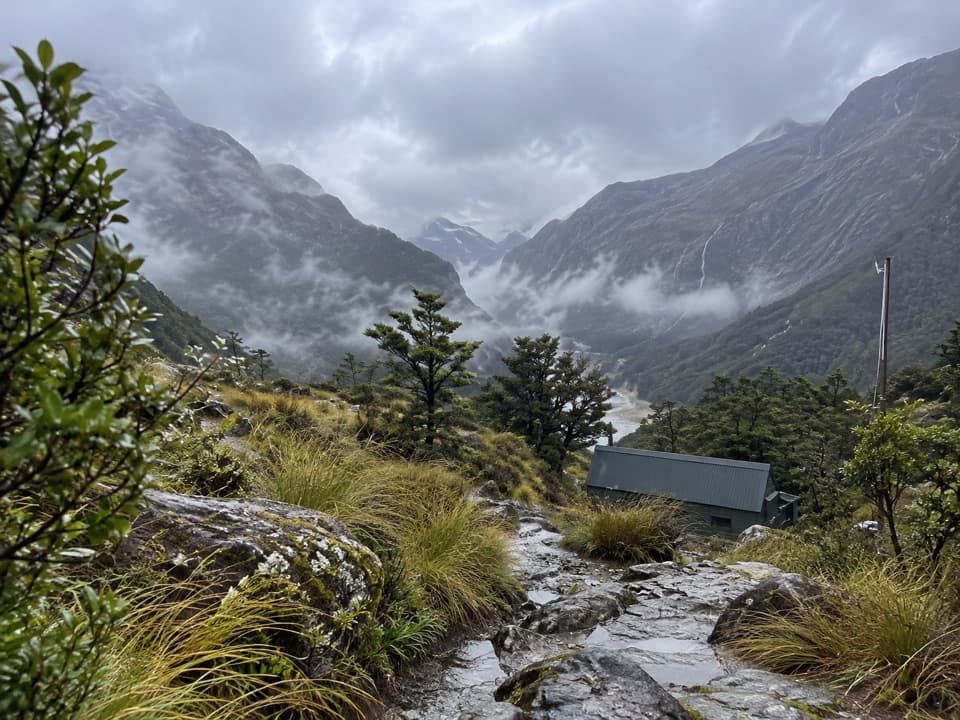
Most walkers reach Lake Harris on Day 2 when traveling east→west from Routeburn Shelter (Glenorchy side). From Routeburn Falls Hut you soon break into the alpine zone and traverse above the lake en route to Harris Saddle, continuing later to Lake Mackenzie Hut. If you’re coming the other way, you’ll encounter the lake after the long climb from Lake Mackenzie. A practical perk: the Harris Saddle Shelter sits about a 3‑minute walk from the lake—handy for a break if the weather’s moody.
Approximate on‑trail times people report: about 1.5 hours from Routeburn Falls Hut to the lake, and roughly 3.5 hours from Lake Mackenzie Hut. Treat these as ballpark—conditions and fitness matter.
What You’ll See
- A classic cirque lake ringed by tussock and rock, with the Routeburn Track perched high above it.
- Big panoramas open up as you near Harris Saddle; after the saddle, the traverse toward the Hollyford Face reveals extensive alpine plant communities.
- Kea are often active around the saddle—curious, vocal, and photogenic.
Season and Conditions
Great Walks season runs 1 November–30 April. Even then, this section is fully alpine: weather can change fast and the track can be steep, rough, muddy, and slippery. Outside the season (May–October), snow, ice, and avalanche terrain become serious factors, and facilities are reduced or removed (bridges between Lake Mackenzie and Harris Saddle may be gone). The avalanche risk can extend into December—plan accordingly.
Safety Essentials
- Expect exposure and steep drop‑offs—this isn’t ideal for young kids; the track isn’t recommended for under‑10s.
- In winter conditions, you’ll need the skills and gear for alpine travel and avalanche terrain (think ice axe, crampons, beacon, shovel, probe), plus full self‑sufficiency.
- If you’re thru‑hiking, remember the Routeburn’s ends are far apart—there’s a 325 km road gap between trailheads, so sort transport in advance.
- Follow Check, Clean, Dry protocols—didymo is present in local waterways.
Best Time to Visit
For light and solitude, overnight at Routeburn Falls Hut and walk up pre‑dawn—sunrise at Lake Harris can be breathtaking, with calm reflections before the wind picks up. In Great Walks season, start early from either hut to enjoy quieter track time. Off‑season trips are only for experienced parties with winter/alpine skills.
Photo Tips and Side Trips
- Dawn or early morning gives the best chance of mirror‑calm water and soft side‑light on the basin walls.
- From Harris Saddle, the short, steep detour up Conical Hill rewards you with expansive views over the Hollyford and out toward the coast—worth it if the weather is stable.
Where it is
-44.7314, 168.1781Tips for Lake Harris
- 01Overnight at Routeburn Falls Hut if you want a realistic sunrise shot at the lake.
- 02From Routeburn Falls Hut it’s roughly 1.5 hours to Lake Harris; from Lake Mackenzie Hut allow about 3.5 hours.
- 03Use the nearby Harris Saddle Shelter for a quick breather if the weather turns.
- 04Consider the short climb to Conical Hill from the saddle for the widest vistas.
- 05Book huts/campsites for Nov 1–Apr 30 and treat any off‑season visit as full alpine travel.
Amenities
Near Lake Harris
All places →All trails →
0.5 mi awayHarris Saddle / Tarahaka WhakatipuWindy alpine pass with big views and a handy day shelterRestroom · Scenic Viewpoint
0.5 mi awayConical HillSteep spur to sweeping Tasman Sea and Lake Harris viewsRestroom · Scenic Viewpoint
1.1 mi awayRouteburn Falls HutFalls-side Great Walk hut with views and a solid kitchenLodging · Restroom
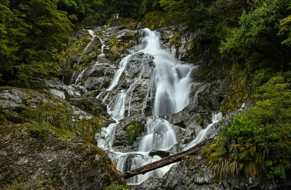
1.2 mi awayRouteburn FallsThundering alpine cascade reached by a classic Routeburn day hikeScenic Viewpoint · Restroom
5 mi awayRouteburn TrackAlpine-to-rainforest Great Walk with huts, waterfalls, and big views.Challenging · 20.5 mi · 13 hr
5 mi awayRouteburn Flats TrackGentle beech forest walk to swing bridge and wide grassy flatsEasy · 4.7 mi · 2 hr
5 mi awaySugarloaf Pass TrackQuiet, steep climb to a broad alpine pass with big valley viewsModerate · 6.2 mi · 7 hr
5 mi awayRouteburn Nature WalkShort beech forest loop with bridges and Route Burn viewsEasy · 1.9 mi · 1 hr