Parking
There is no road access at Harris Saddle. Start beside Harris Saddle Shelter after reaching the saddle on foot on the Routeburn Track from Routeburn Shelter or The Divide; the day-use shelter has toilets.
Mount Aspiring National Park, OT · WC
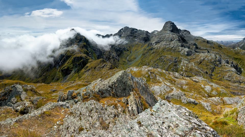
A short, steep climb from Harris Saddle to an alpine panorama.
Overview
Conical Hill Track is a 1.22-mile out-and-back side trip from Harris Saddle to a rocky 1,515-metre summit. It is a short, steep climb; allow 1½–2 hours for the return. Add it if you are already on the Routeburn and want a high viewpoint. The distance above covers only the spur; reaching Harris Saddle is a separate walk on the Routeburn Track.
 Parkwolf’s verdictShould you add it?
Map & elevation
Plan your hike

The highest, rockiest slopes around here are a summer buffet for grizzly bears.
Mount Aspiring Tour Guide
Parkwolf is a GPS audio tour guide for Mount Aspiring National Park. As you drive, it chimes in with what’s ahead: hidden gems, upcoming stops, history, geology, and wildlife, right through your car’s speakers.
See the Mount Aspiring audio tourMore stories near here in the app
“Fantastic app with many points of information… It’s great to just turn on while you’re driving and it gives you an audio tour of the national Park. We love it!!!!”


Trail guide
The path climbs steeply from Harris Saddle toward Conical Hill. From the top, the view opens across the Hollyford Valley to Lake McKerrow, Martins Bay and the Tasman Sea. The summit itself is a bare, rocky ridge above the surrounding alpine slopes. If you stop for a photo, keep some of that broken ridge in the foreground so the view feels tied to the hill.
There is no road-accessible trailhead at Harris Saddle. The spur starts beside Harris Saddle Shelter, reached on foot along the Routeburn Track from Routeburn Shelter or The Divide. The day-use shelter has toilets. Harris Saddle is also known as Tarahaka Whakatipu; plan the longer Routeburn approach before counting this as a stand-alone hike.
Snow and ice can make the climb hazardous early and late in the Great Walks season. Rockfall danger is marked along the track, so obey the no-stopping zones. Dogs are not permitted on the Routeburn Track, including this side trip.
Wildlife
 60 sightingsKeaMost seen around 5 PMSighting map
 112 sightingsRockwrenMost seen around 8 AMSighting map
 26 sightingsYellowheadMost seen around 8 AMSighting map
 13 sightingsTūīMost seen around 7 AMSighting map
 27 sightingsBellbirdMost seen around 7 AMSighting map
 35 sightingsRiflemanMost seen around 8 AMSighting map
Sighting maps show where each species has been reported across Mount Aspiring. Wildlife moves, so no sighting is guaranteed.
Keep exploring
 ChallengingRouteburn Track33.1 km · 13.5 hr · 8.6 km awayWaterfalls, alpine wetlands and a 1,255 m pass in one crossing.
 ModerateRouteburn Falls Hut Day Walk19.6 km · 7 hr · 8.6 km awayTwo waterfalls and a high hut make the long climb worthwhile.
 ChallengingTarahaka Whakatipu (Harris Saddle)25.4 km · 10.5 hr · 8.6 km awayA long alpine day ends at a shelter above Lake Harris.
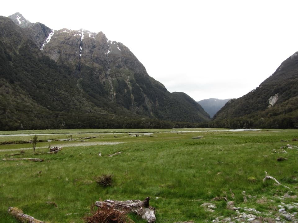 ModerateRouteburn Flats Track15 km · 4 hr · 8.6 km awayFollow an 1870s bridle path to open valley flats.
 ChallengingSugarloaf Pass Track8 km · 6 hr · 8.6 km awayA hard climb to a broad pass above two valleys.
 ChallengingRouteburn North Branch Track21.7 km · 8.5 hr · 8.6 km awayA long valley walk with rough tread and Humboldt mountain views.
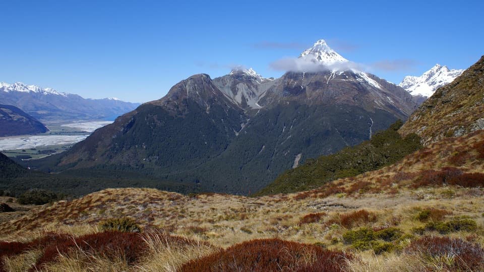 ChallengingSugarloaf/Rockburn Track16.9 km · 9.5 hr · 8.6 km awayAn advanced full-day traverse over Sugarloaf Saddle to Lake Sylvan.
 EasyRouteburn Nature Walk3.1 km · 48 min · 8.6 km awayA short loop through red beech forest to Sugarloaf Stream.
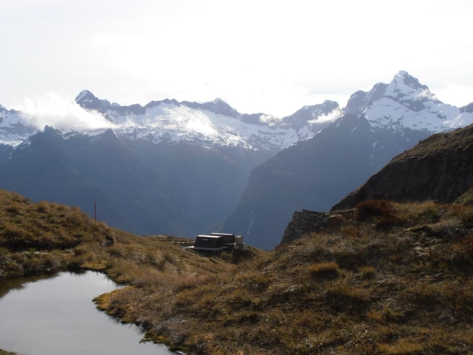 Sight · 0.2 km awayHarris Saddle / Tarahaka WhakatipuA high pass above Lake Harris, with a climb toward sea views.
 Sight · 0.5 km awayLake HarrisA wide lake view built into the Routeburn’s high alpine crossing.
 Sight · 2.3 km awayRouteburn FallsA 9.8 km walk to a cascade at the bushline.
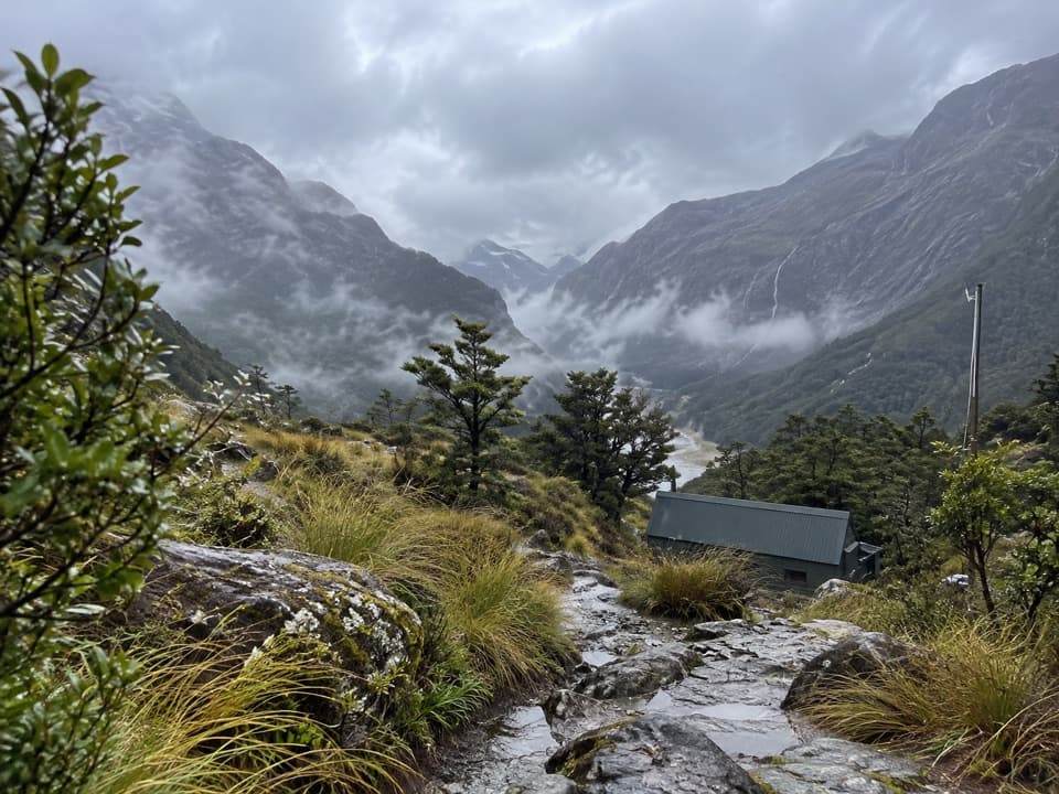 Lodging · 2.3 km awayRouteburn Falls HutSleep at the bushline with the falls close by.
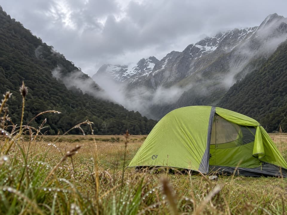 Campground · 3.4 km awayRouteburn Flats CampsiteA 15-site walk-in camp on the Routeburn's open grassy flats.
 Lodging · 3.6 km awayRouteburn Flats HutA good first night on the Routeburn, with the valley opening wide.
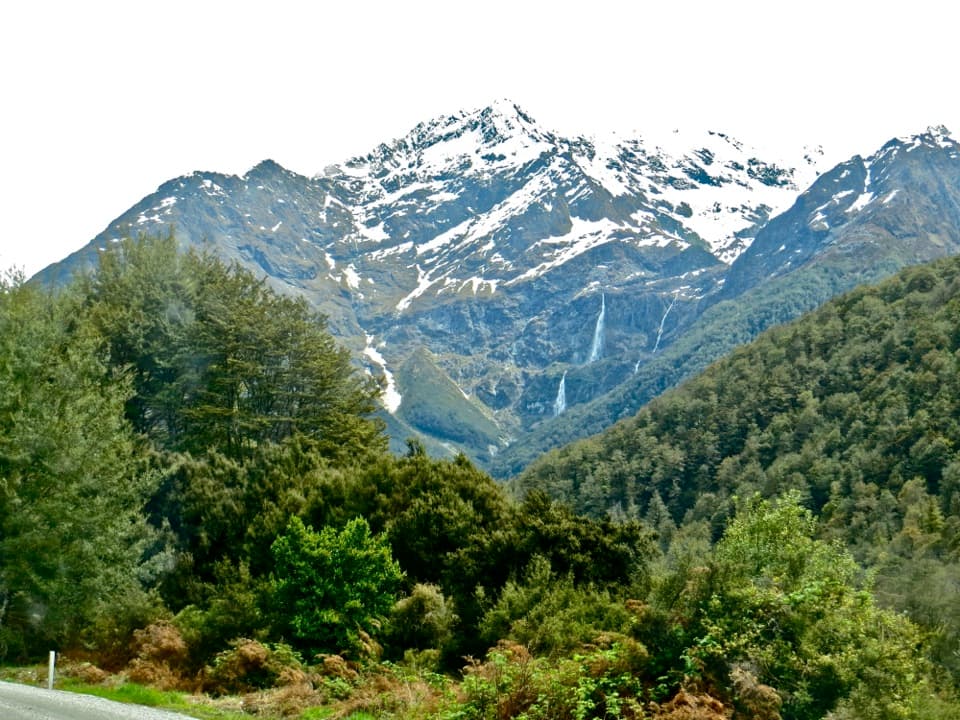 Sight · 6.8 km awayBridal Veil FallsA 57-metre fall framed by the Routeburn's forest and snowy peaks.
 Campground · 11.1 km awaySylvan CampsiteA simple riverside base for Lake Sylvan and the Routeburn
Parkwolf’s Mount Aspiring ranking
The audio tour guide for the drive, plus offline maps, trails, and wildlife heatmaps for when the signal drops.




