1 active Mount Rushmore alert
- InfoSculptor’s Studio Heat AdvisoryThe Sculptor’s Studio may close temporarily during periods of high heat. - The closure protects visitors and staff from high heat.Official details
#10 of 11 sights in Mount Rushmore
Sight · Mount Rushmore National Memorial
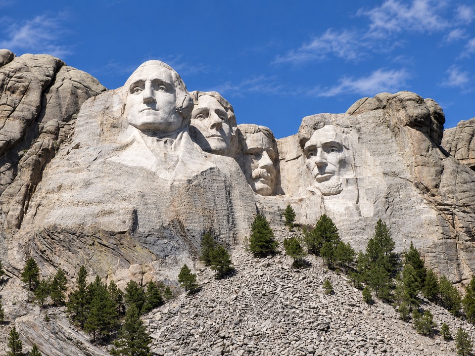
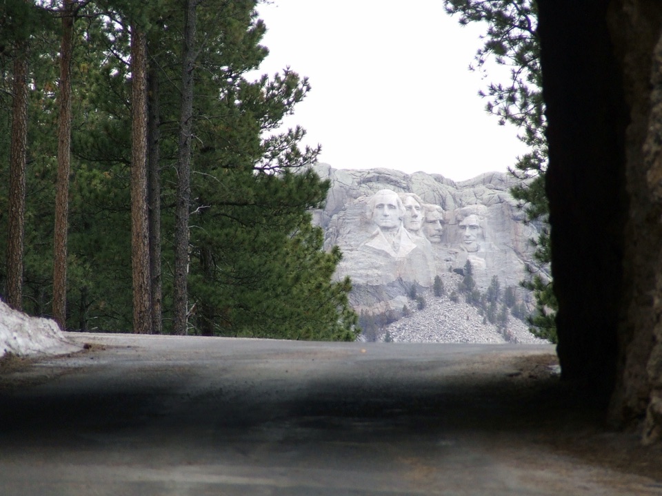
A one-lane tunnel frames four presidents from the scenic road.
Overview
Map
Plan your stop

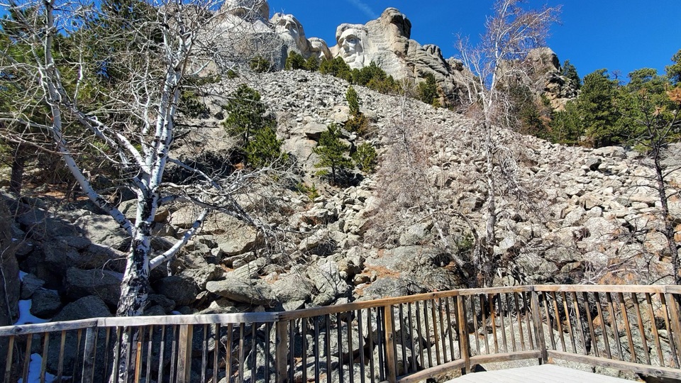
The highest, rockiest slopes around here are a summer buffet for grizzly bears.
Mount Rushmore Tour Guide
Parkwolf is a GPS audio tour guide for Mount Rushmore National Memorial. As you drive, it chimes in with what’s ahead: hidden gems, upcoming stops, history, geology, and wildlife, right through your car’s speakers.
Recorded for this area
Grand View Terrace and the Visitor Complex“You're approaching the memorial visitor complex and the walk to Grand View Terrace. For the classic photo of all four faces, keep some granite below the portraits in frame to show their scale.”
Plays on the road 1 mi from Doane Robinson Tunnel in the Parkwolf Mount Rushmore Tour Guide.
More stories near here in the app
“We recently toured Badlands, Custer State Park, Mount Rushmore and more! We learned so much from this app as we toured each of these sites. The audio tours are worth the money.”


Guide
Doane Robinson Tunnel is a one-lane road tunnel on Iron Mountain Road (US 16A), a 17-mile scenic route between Keystone and Custer State Park. Heading north from Custer, the opening frames the four presidential faces. It is a brief roadside stop on the scenic drive, not a facility at Mount Rushmore's visitor complex. Use the designated pullout, never the traffic lane.
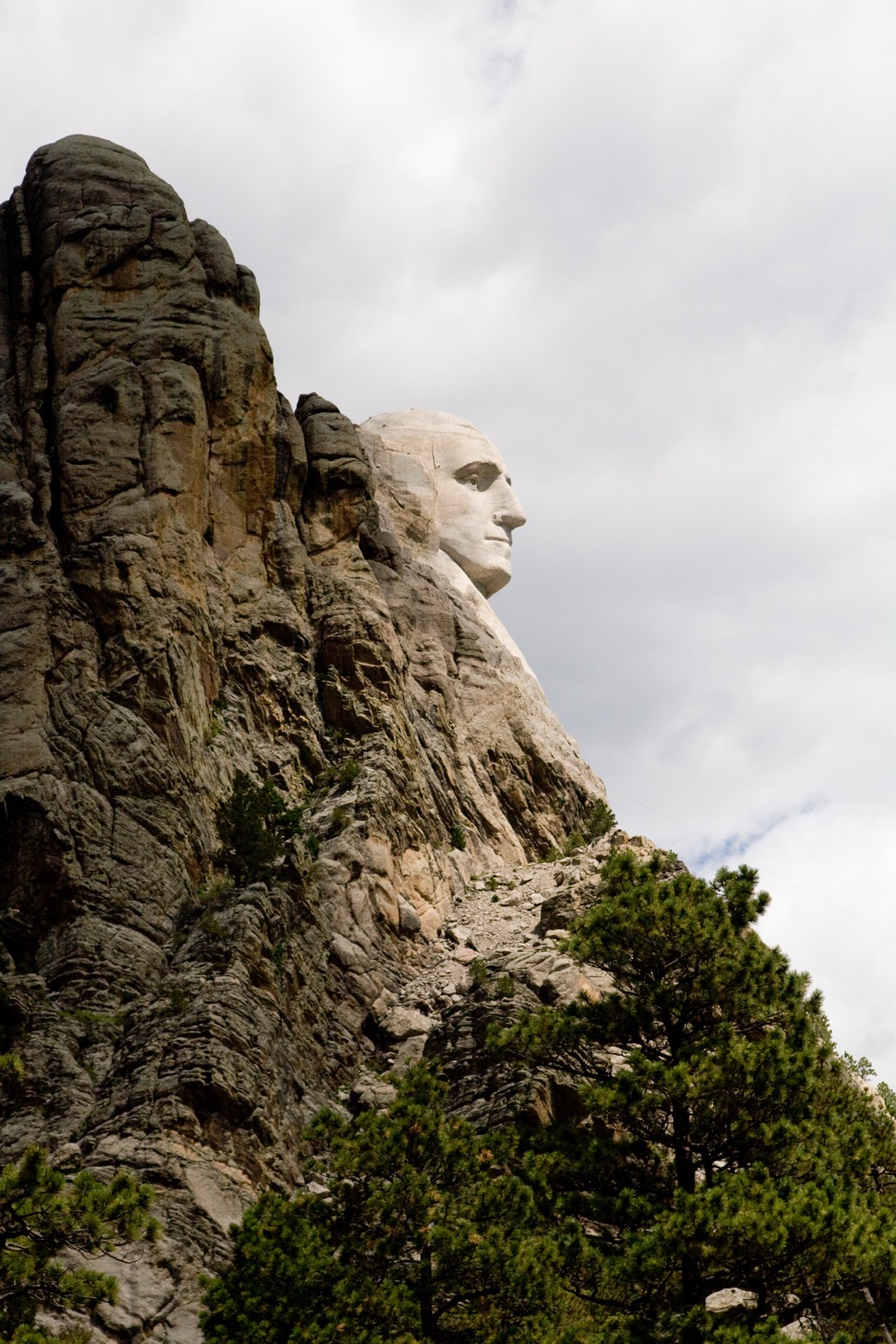
The faces sit well back from the portal and can look smaller than expected. If you want them to fill a phone photo, zoom in from the safe stopping area.
The parking area holds only a few cars. If it is full, continue along the route rather than stopping in the road. No public restrooms or drinking water are documented at the tunnel; the separate Iron Mountain Picnic Area has public restrooms.
Iron Mountain Road is a slow, twisting drive: allow about 45 to 60 minutes for its 17 miles before adding stops. The tunnel's published clearance is 12 feet wide and 11 feet 4 inches high; check the posted restriction before driving a tall or wide vehicle. The road can close periodically in winter depending on conditions and snow clearing, so check current status before a cold-season trip.
Built in the 1930s under South Dakota Governor Peter Norbeck, Iron Mountain Road uses stone tunnels, tight switchbacks and spiraling pigtail bridges to fit the Black Hills terrain. The three stone tunnels are part of the route's design and frame Mount Rushmore along the drive.
Doane Robinson was South Dakota's state historian and an advocate for monumental carvings in the Black Hills as a draw for visitors. He contacted sculptor Gutzon Borglum in 1924; Borglum selected Mount Rushmore in 1925, and Robinson then helped secure support for the project. The tunnel's name points to the person whose idea brought the carving project to the Black Hills.
Wildlife
 87 sightingsMountain GoatMost seen around 6 PMSighting map
 44 sightingsMule DeerMost seen around 6 PMSighting map
 20 sightingsWhite-tailed DeerMost seen around 6 PMSighting map
 14 sightingsTurkey VultureMost seen around 1 PMSighting map
 32 sightingsMarmotMost seen around 7 AMSighting map
 11 sightingsBrook TroutMost seen around 8 PMSighting map
Sighting maps show where each species has been reported across Mount Rushmore. Wildlife moves, so no sighting is guaranteed.
Keep exploring
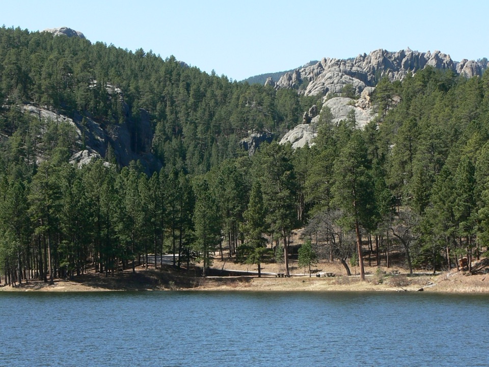 ModerateHorse Thief Lake via Blackberry and Centennial Trail3.8 mi · 2.5 hr · 1 mi awayA creekside forest route leads from a granite memorial to Horsethief Lake.
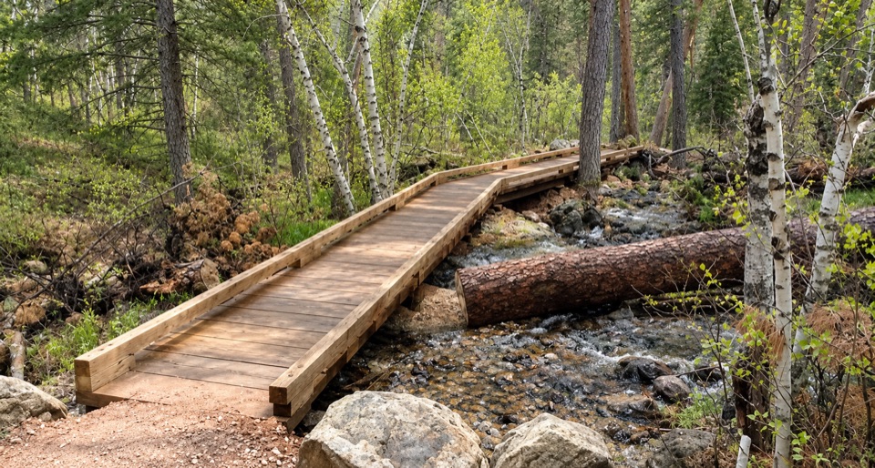 ModerateBlackberry Trail1.5 mi · 45 min · 1.1 mi awayA wooded creek walk, then a steady climb back.
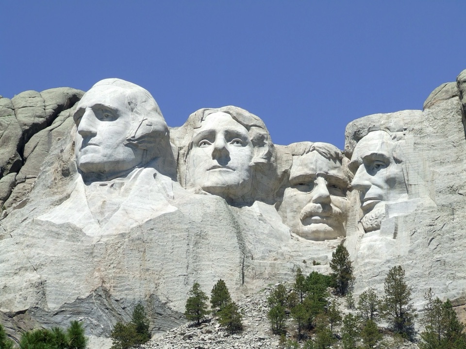 EasyNature Trail0.4 mi · 18 min · 1.1 mi awayA wooded link to Borglum's Sculptor's Studio.
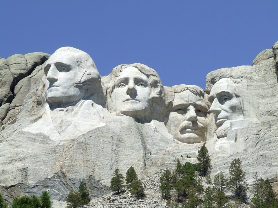 ModeratePresidential Trail0.6 mi · 36 min · 1.2 mi awayClose views of the carving, plus 422 stairs around the loop.
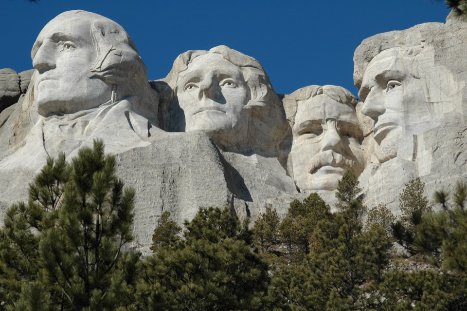 EasyPresidential Trail (Stair-Free Route)0.4 mi · 24 min · 1.2 mi awayA close view of the carved faces without the full stair loop.
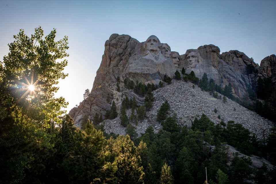 ChallengingMount Rushmore via Centennial Trail10.7 mi · 6 hr · 3.8 mi awayA long Centennial approach to the Mount Rushmore memorial.
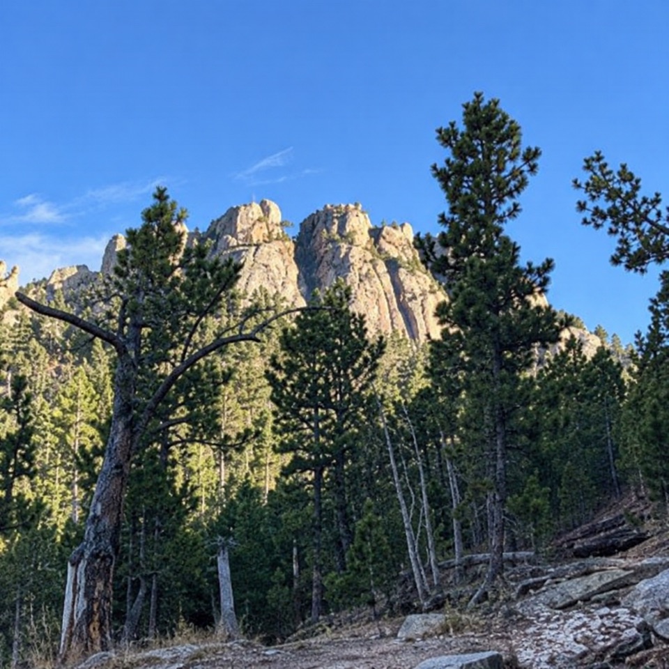 ModerateWillow Creek Rushmore Trail #51.9 mi · 1.2 hr · 4.5 mi awayA short one-way forest route toward Mount Rushmore.
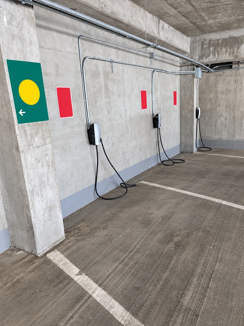 1.1 mi awayLincoln Parking Facility EV ChargingSix Level 2 chargers inside the Lincoln Parking Facility.
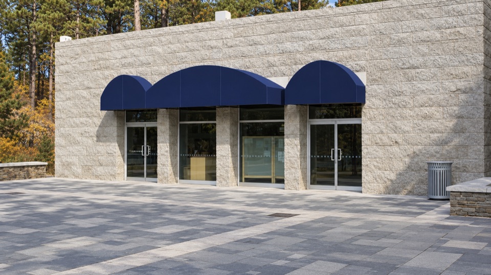 Visitor center · 1.1 mi awayInformation CenterA practical first stop for maps, ranger help, and a water refill.
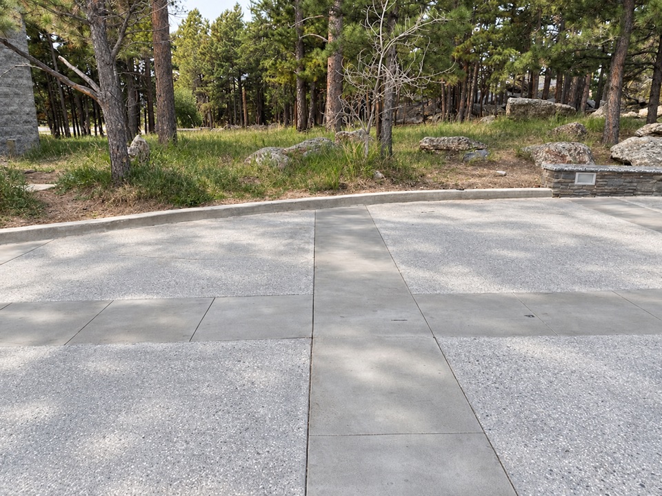 Restroom · 1.1 mi awayMain Entrance RestroomsA handy restroom stop opposite the entrance Information Center.
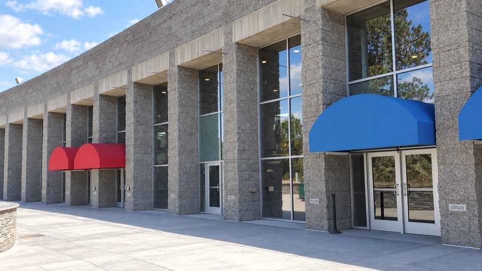 Food · 1.2 mi awayCarvers' CaféBuffalo chili and Jefferson-inspired vanilla with the sculpture in view.
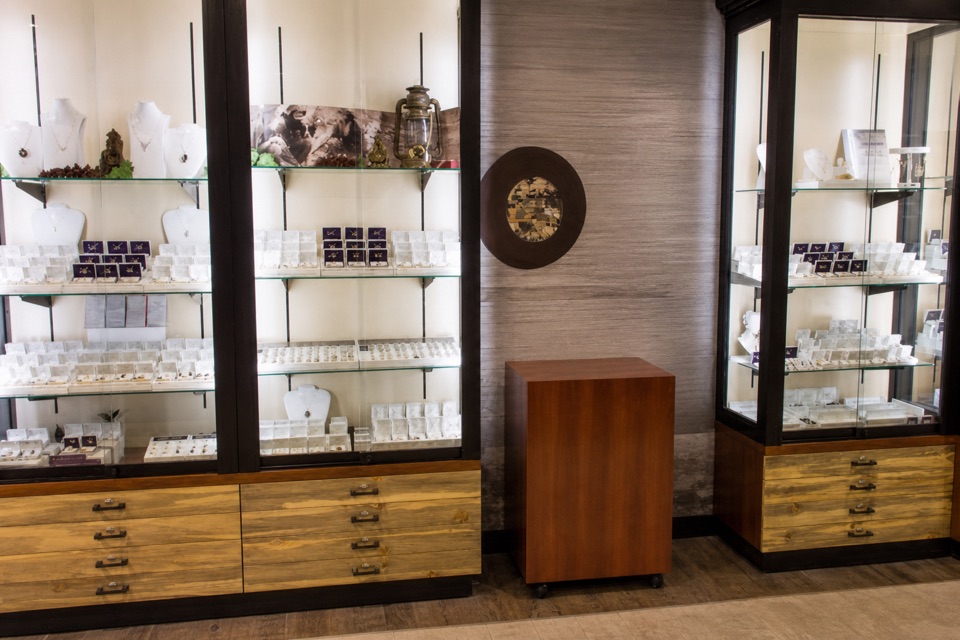 Store · 1.2 mi awayMount Rushmore Gift ShopBrowse Black Hills Gold and local goods alongside familiar souvenirs.
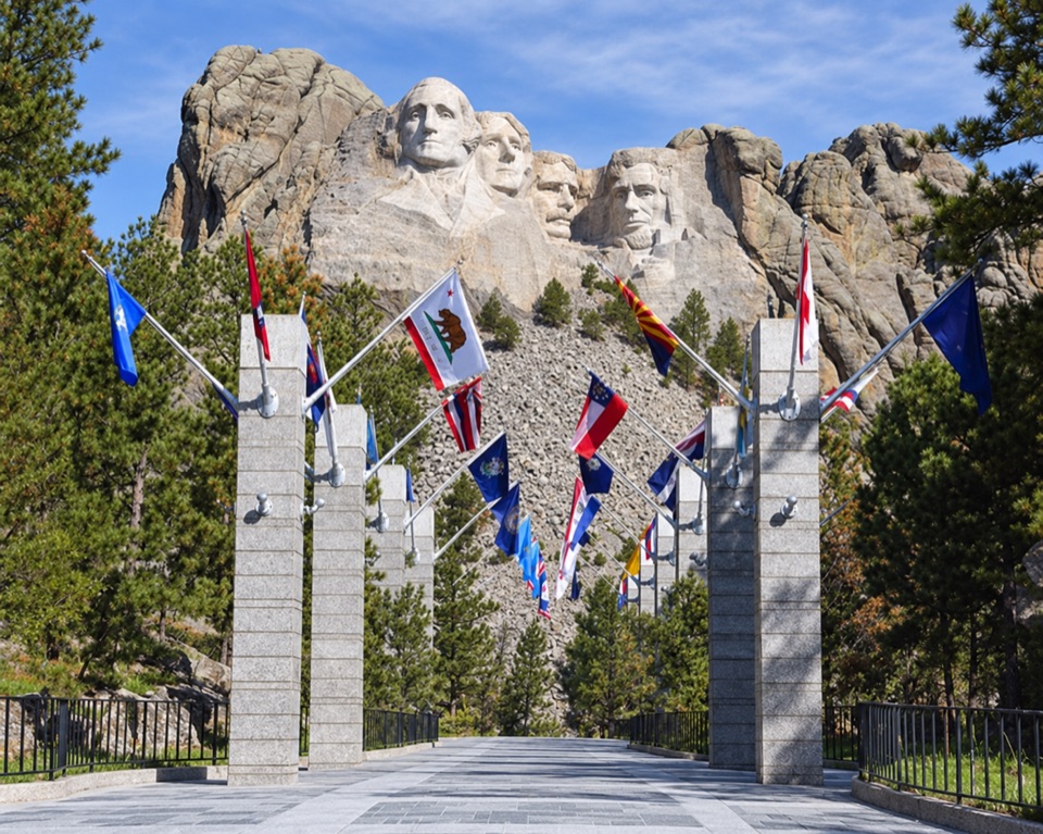 Sight · 1.2 mi awayAvenue of FlagsPick out your flag on the walk to the main terrace.
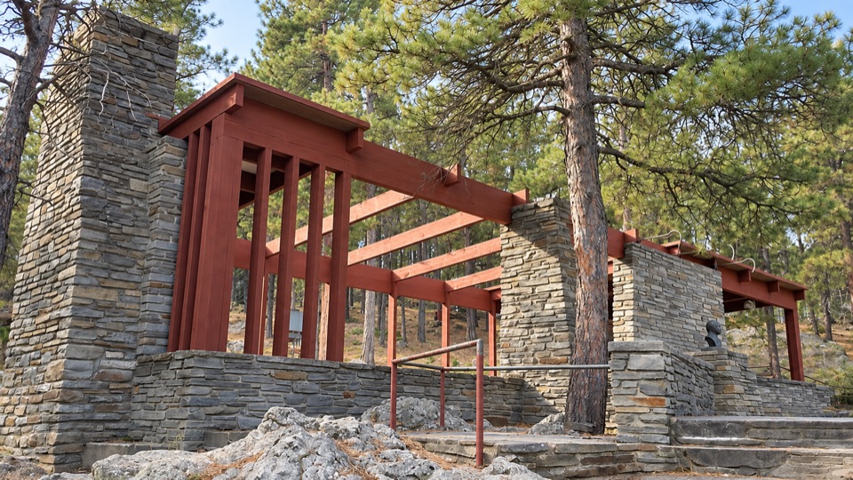 Sight · 1.2 mi awayBorglum View TerraceStand where Borglum first planned the carving.
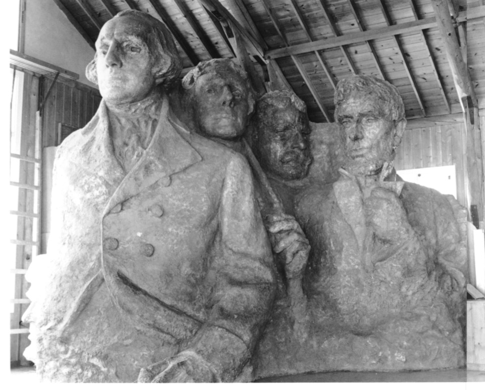 Sight · 1.2 mi awaySculptor's StudioSee the scale model Borglum used to plan Mount Rushmore's carving.
Parkwolf’s Mount Rushmore ranking

The audio tour guide for the drive, plus offline maps, trails, and wildlife heatmaps for when the signal drops.