Parking
Start outside the Red Lion in Boldre (SO41 8NE); the pub offers parking, with additional parking available at Boldre Parish Church.
New Forest National Park, EN
A 5.1-mile Boldre loop through woods, church lanes and riverside fields
Overview
Map & elevation
Plan your hike

The highest, rockiest slopes around here are a summer buffet for grizzly bears.
New Forest Tour Guide
Parkwolf is a GPS audio tour guide for New Forest National Park. As you drive, it chimes in with what’s ahead: hidden gems, upcoming stops, history, geology, and wildlife, right through your car’s speakers.
Recorded for this trailhead
Boldre Village and Roydon Woods“You're approaching Boldre village, the start of a five-mile loop through Roydon Woods and back beside the Lymington River.”
Plays as you drive up to this trailhead in the Parkwolf New Forest Tour Guide.
More stories near here in the app
“Fantastic app with many points of information… It’s great to just turn on while you’re driving and it gives you an audio tour of the national Park. We love it!!!!”


Trail guide
This 5.1-mile loop starts outside the Red Lion in Boldre, follows the lane to Boldre Bridge, then takes a mapped circuit via St John the Baptist Church and Roydon Woods before returning beside the Lymington River. The total includes the repeated Red Lion–bridge access on the outward and return legs; the circuit from the bridge itself measures about 4.3 miles. Allow around 2½ hours for the full walk.
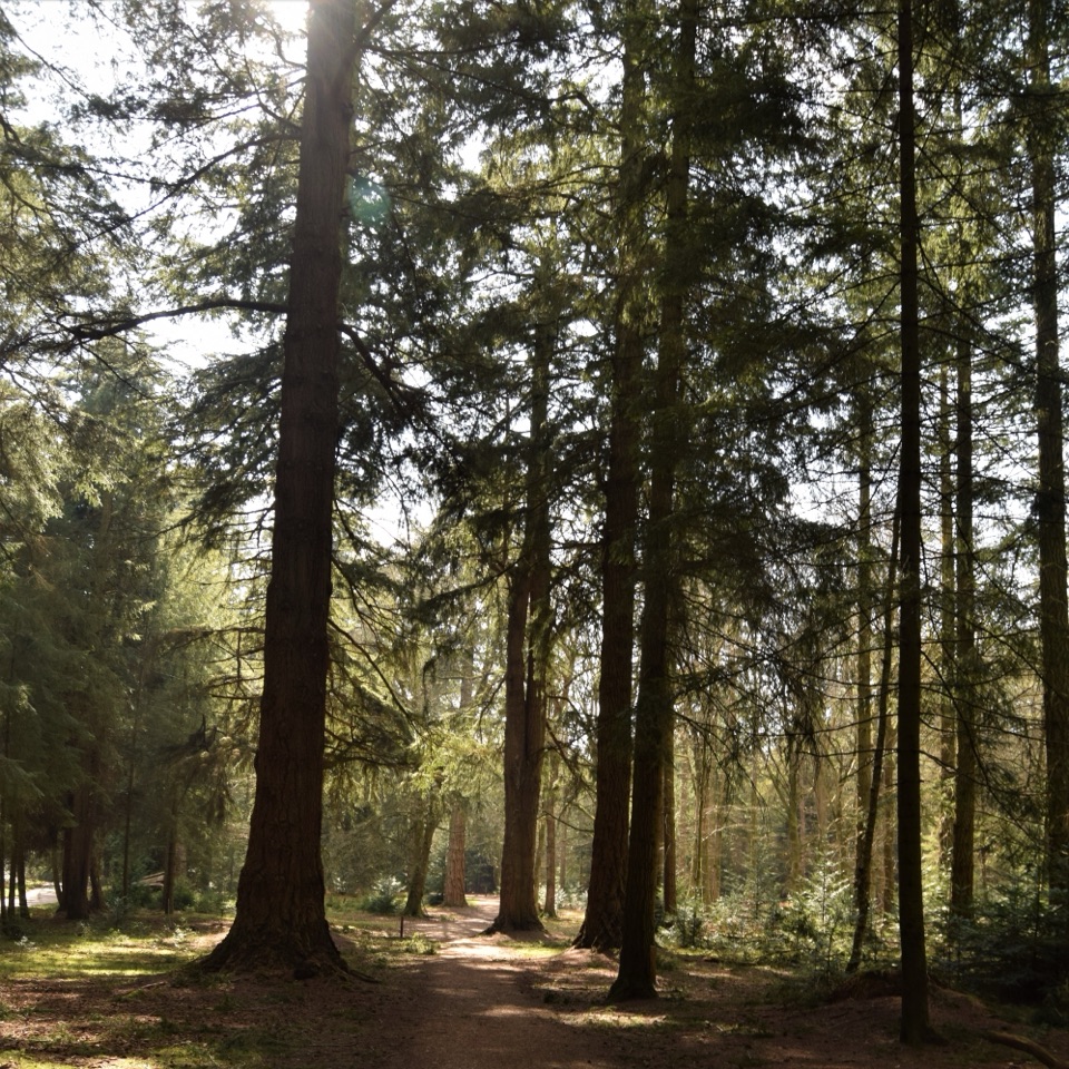
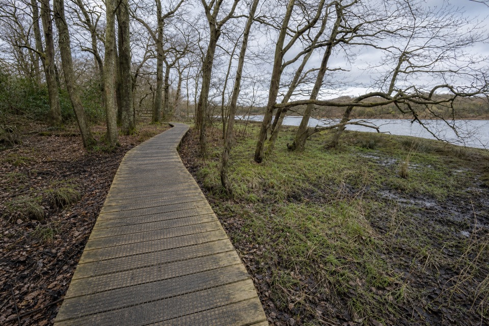
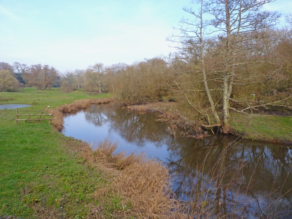
Expect country lanes and field paths leading to a short rise through woodland, then a bridleway in Roydon Woods. The reserve sits within the national park but outside the traditional Forest boundary. Old boundary banks and coppice stools show where hazel was cut and regrown for poles and charcoal; bluebells may flower in spring. A flooded pit marks a former brickworks associated with Roydon Manor. The route includes a ford and footbridges over the Lymington River, then returns along its meandering banks to Boldre Bridge.
This is an easy walk with gentle gradients and one short uphill and downhill section. Gates, two stiles, a ford and footbridges make the ground less straightforward than the grade suggests, and the reserve bridleway can be very muddy. Start outside the Red Lion (SO41 8NE); the pub offers parking and refreshments, and parking is also available at Boldre Parish Church. Keep dogs on a lead through Roydon Woods.
Wildlife
 28 sightingsRed DeerMost seen around 7 AMSighting map
 10 sightingsWhite-tailed EagleMost seen around 10 AMSighting map
 14 sightingsHarbor SealMost seen around 7 PMSighting map
 176 sightingsEuropean Fallow DeerMost seen around 7 PMSighting map
 93 sightingsWestern Roe DeerMost seen around 7 AMSighting map
 54 sightingsMute SwanMost seen around 6 PMSighting map
Sighting maps show where each species has been reported across New Forest. Wildlife moves, so no sighting is guaranteed.
Keep exploring
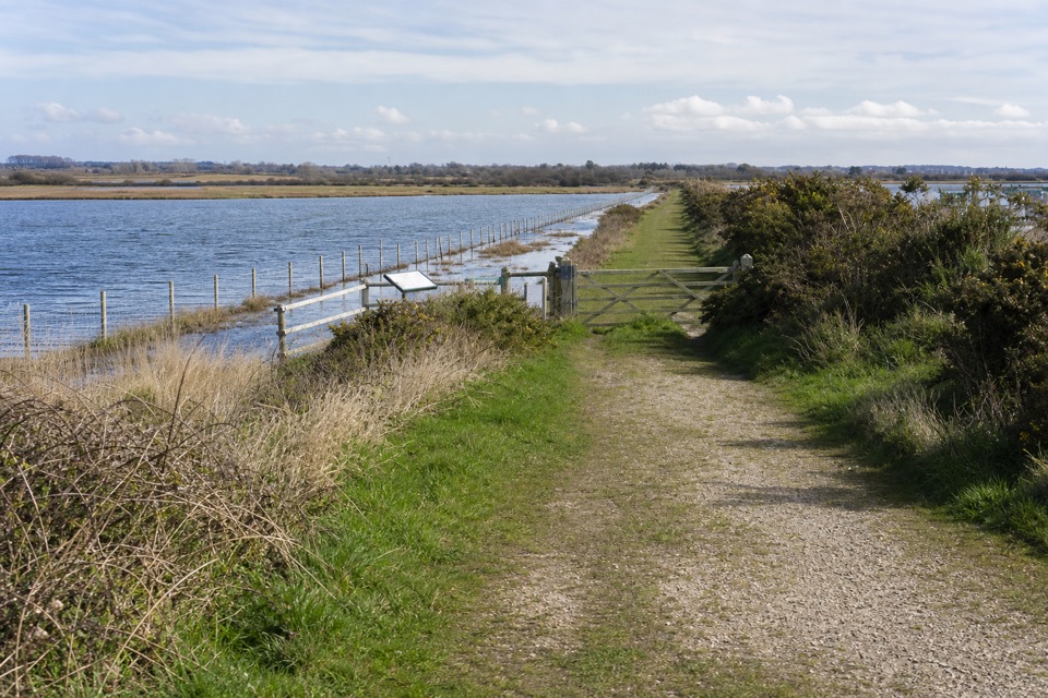 EasyLymington Marshes Rail Trail6 km · 1.5 hr · 2.7 km awayA flat loop from Lymington’s quay streets to its coastal marshes.
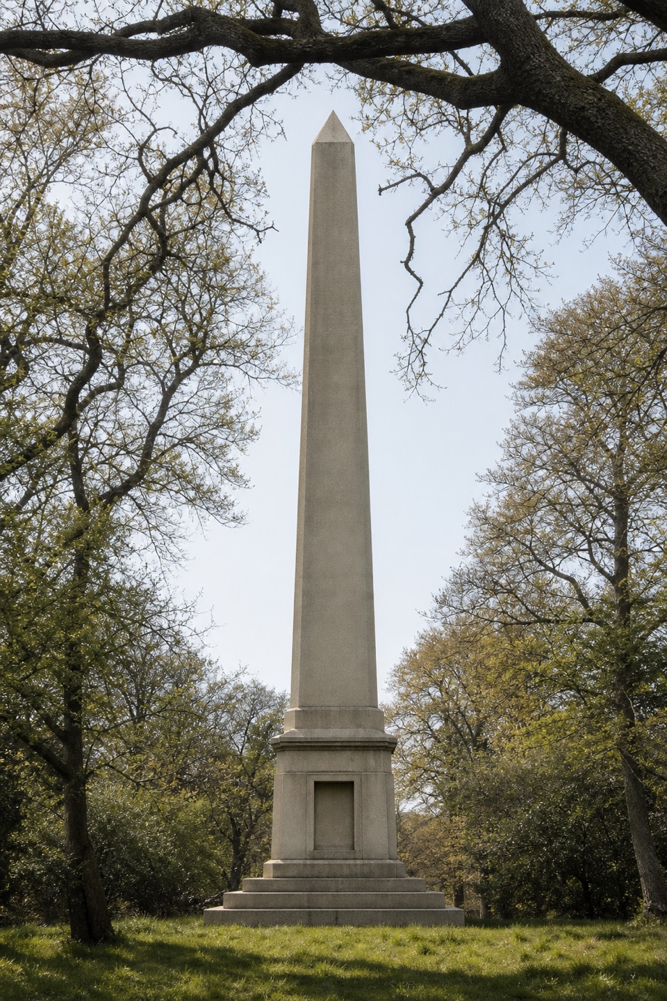 ModerateWalhampton Monument6.3 km · 2 hr · 2.7 km awayA stone obelisk, wartime airfield and Solent views in one circuit.
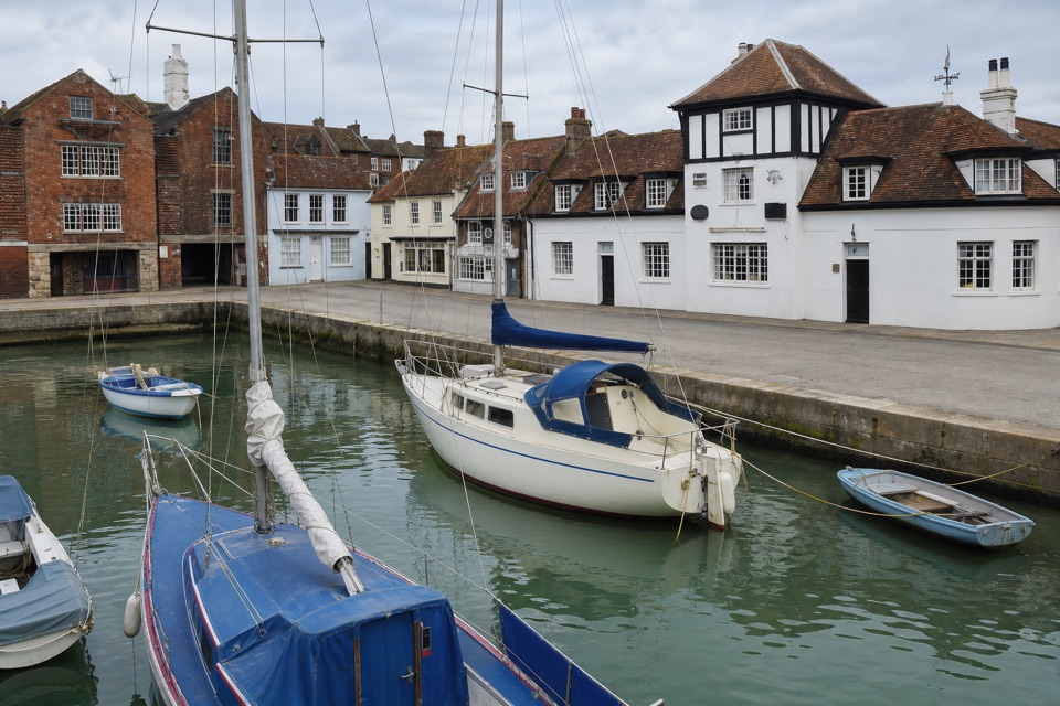 EasyLymington Town Trail3.2 km · 1.5 hr · 2.7 km awayTwo easy miles link the harbour, leafy lanes, and old Lymington.
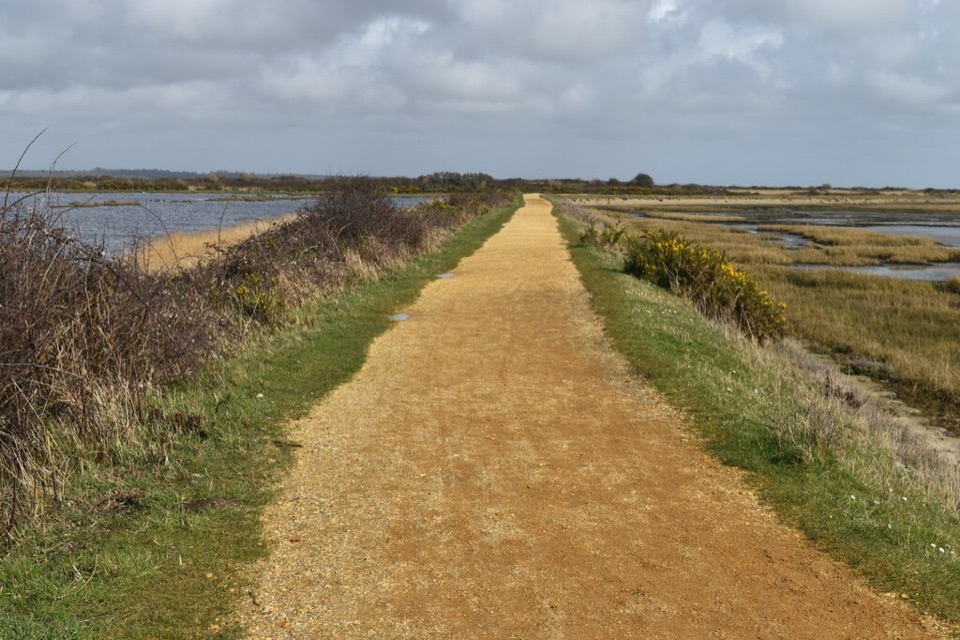 ModerateSea Air Trail8 km · 2.5 hr · 3.8 km awayFive one-way miles of sea wall between Lymington and Keyhaven.
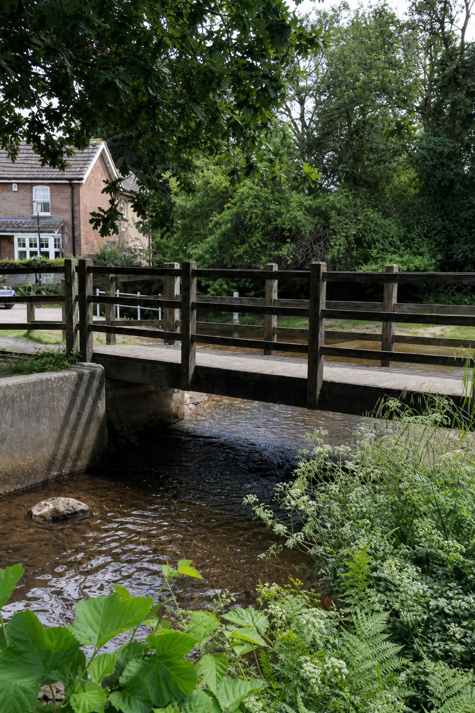 EasyBrockenhurst Short Village Walk3.9 km · 1.1 hr · 4 km awayA village loop for the Watersplash, green and old church.
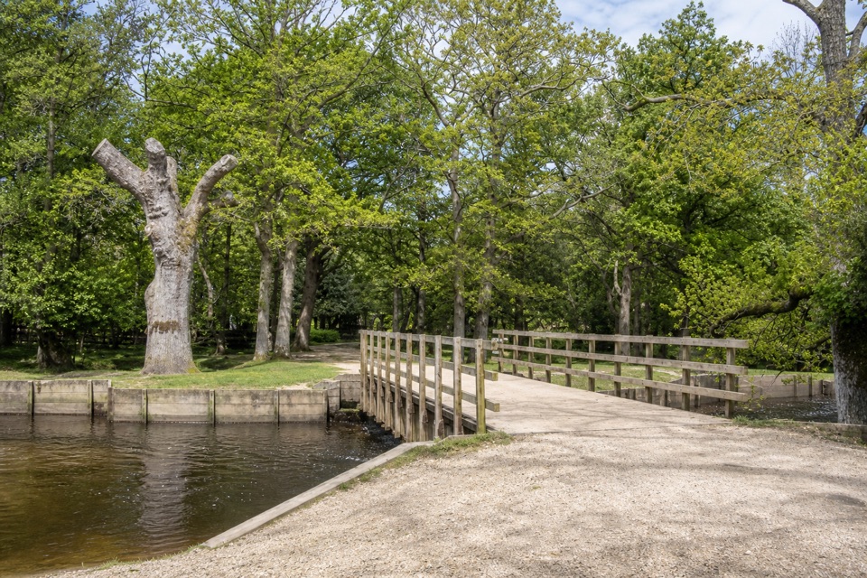 EasyBrockenhurst Village Loop8 km · 2.5 hr · 4 km awayA village walk reaching Ober Water, Bolderford Bridge and open heath.
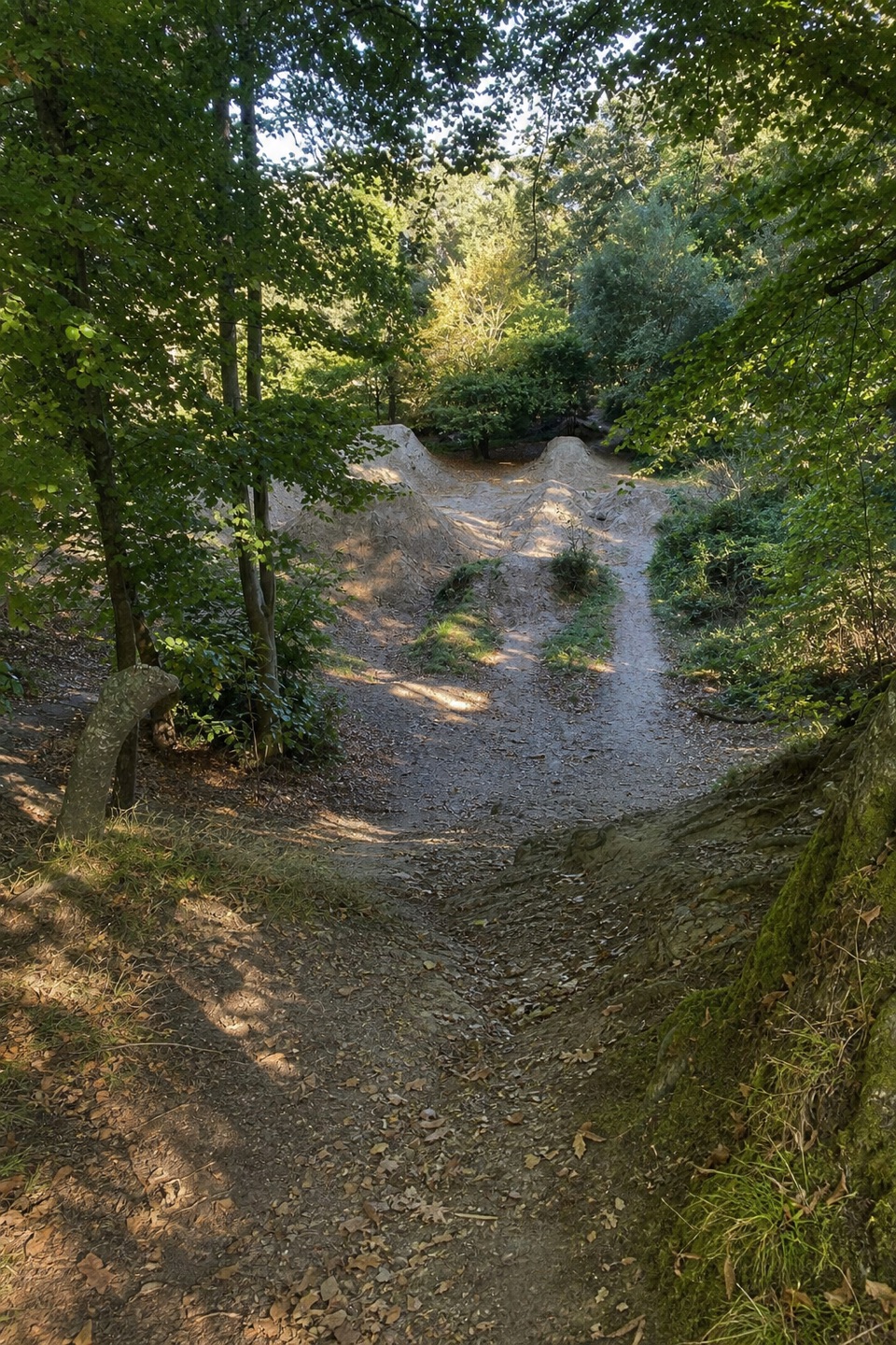 ModerateBuckland Rings Trail10.9 km · 2.8 hr · 4 km awayA station-to-station walk through woods and fields to an Iron Age hillfort.
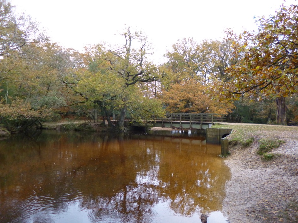 ModerateBrockenhurst and Lyndhurst Circular16.3 km · 4.3 hr · 4.4 km awayA river bridge and two villages, linked by forest tracks.
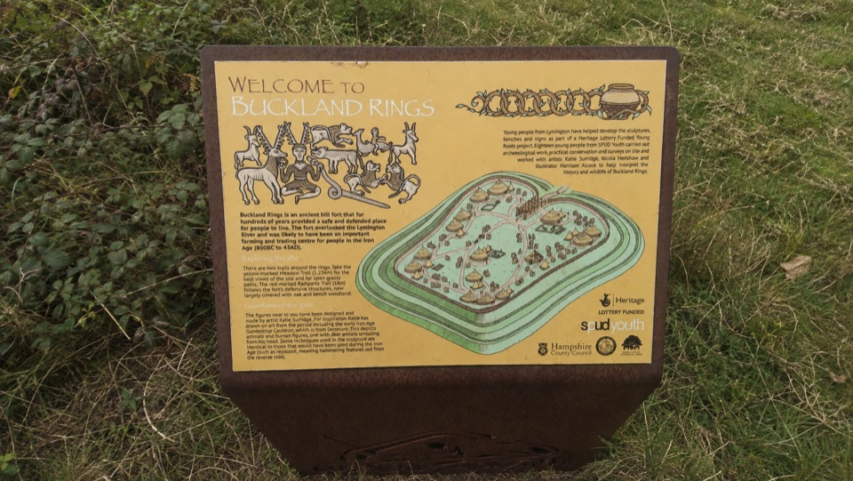 Sight · 1.4 km awayBuckland RingsTriple banks and deep ditches of a well-preserved Iron Age hillfort
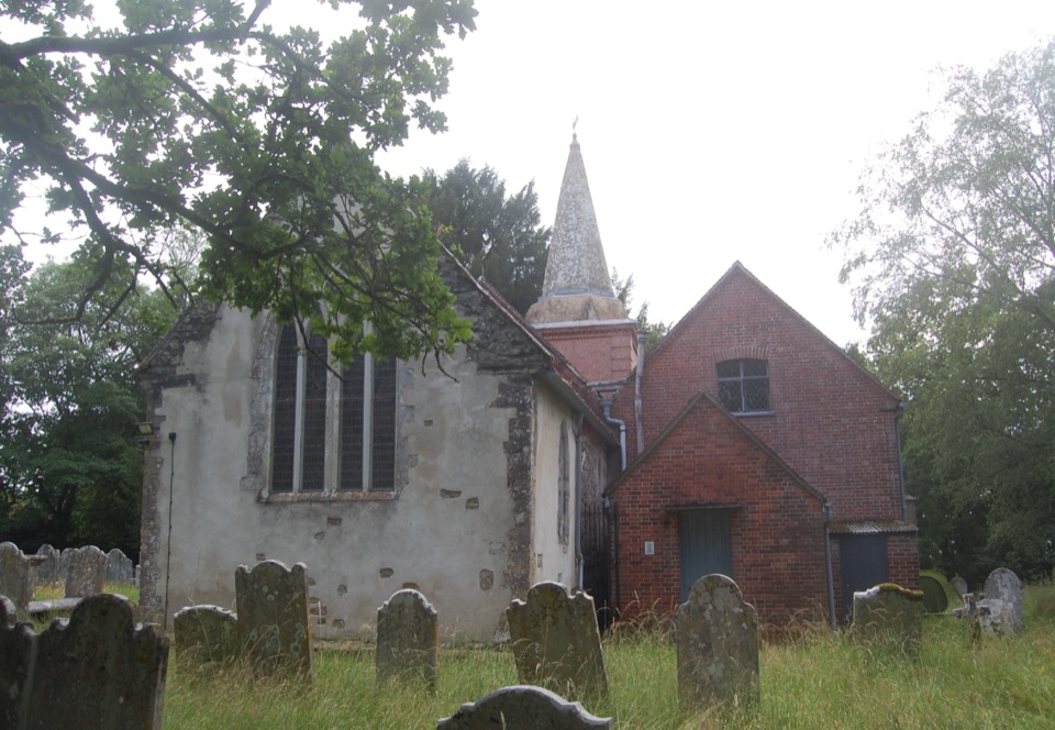 Sight · 3.7 km awaySt Nicholas' ChurchDomesday church with ANZAC graves and Brusher Mills' marker
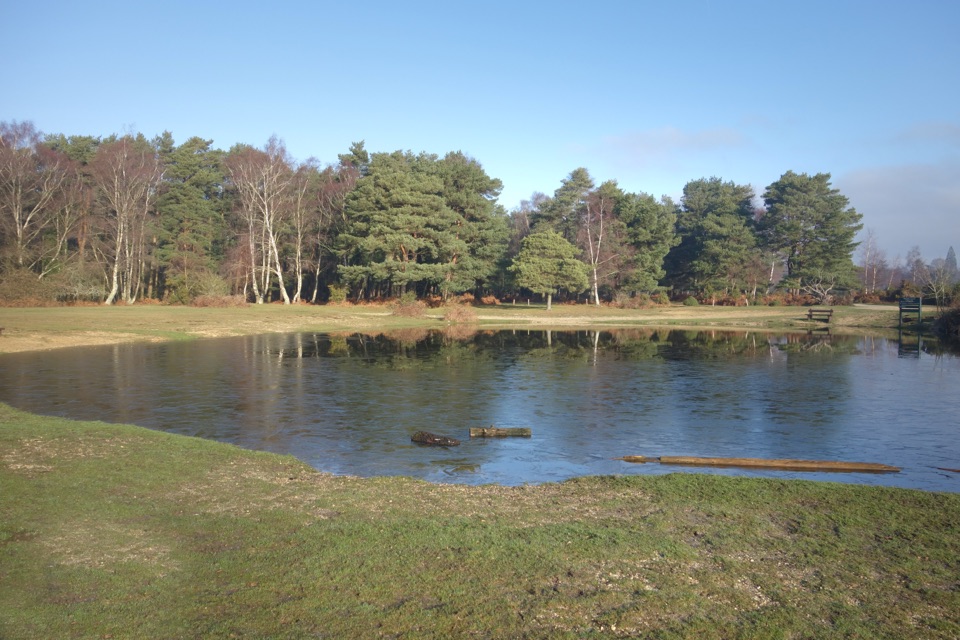 Campground · 4.3 km awayRoundhill CampsiteBig, family-friendly forest campsite with a pond and free-roaming ponies
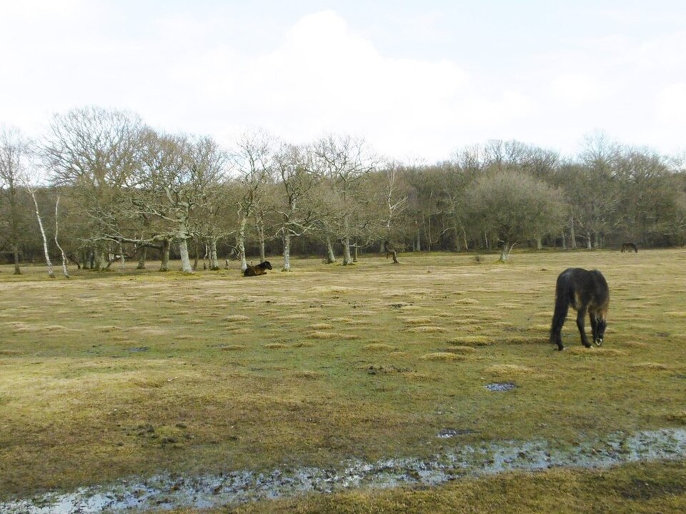 Picnic area · 5.5 km awayBalmer LawnOpen grazing lawn by the Lymington River, with ponies and picnic space
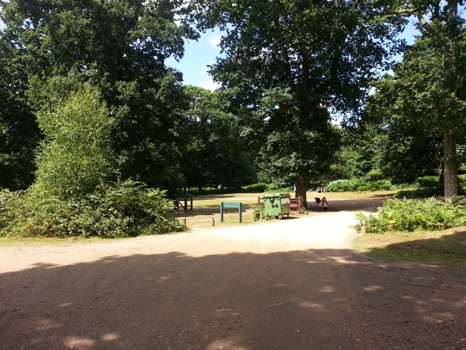 Campground · 5.5 km awaySetthorns CampsiteSelf-sufficient woodland camping among pines, oaks and roaming ponies
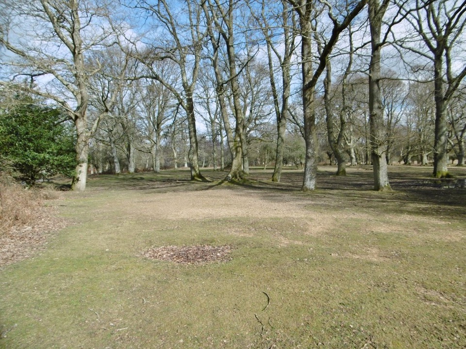 Campground · 5.8 km awayHollands Wood CampsiteWoodland pitches, roaming ponies, and a short walk into Brockenhurst
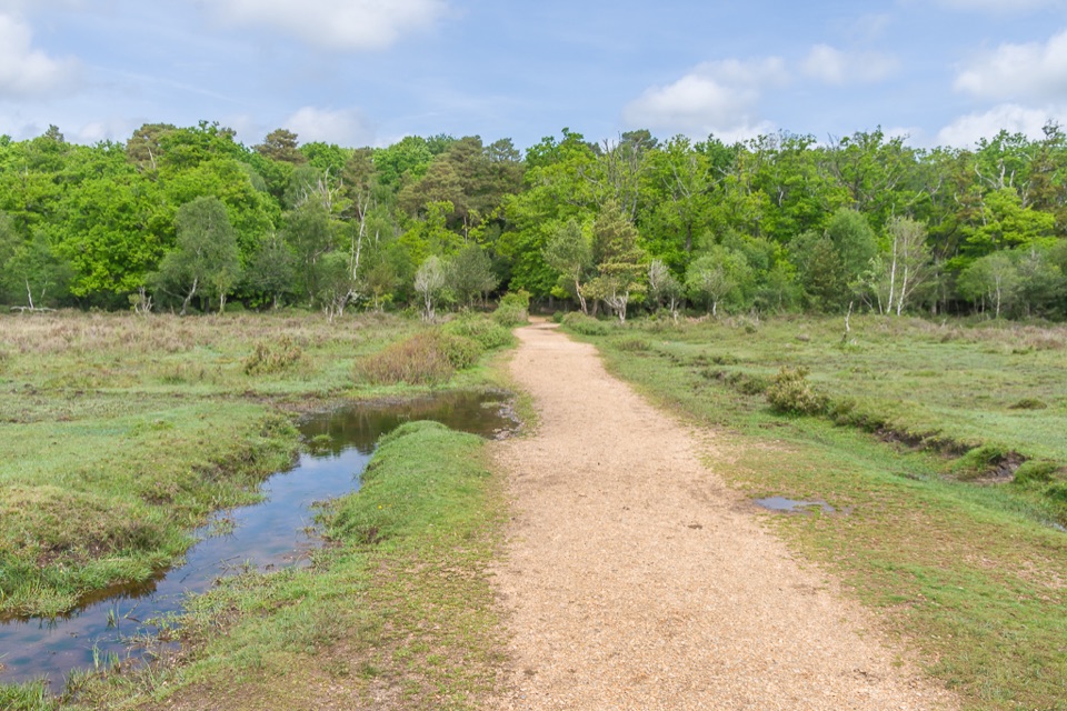 Picnic area · 6 km awayWhitefield MoorHeath and woodland picnics with easy gravel trails by Ober Water
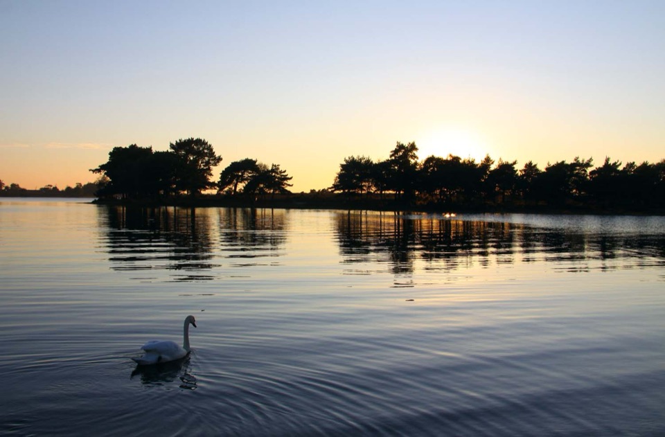 Sight · 6 km awayHatchet PondRare wetland wildlife, mirror-flat sunsets and ponies on the heath
Parkwolf’s New Forest ranking

The audio tour guide for the drive, plus offline maps, trails, and wildlife heatmaps for when the signal drops.