Parking
Start and finish at Lymington Town railway station. Town parking and public toilets are near St Barbe Museum; no dedicated trail car park was verified. Train and bus access reach the station.
New Forest National Park, EN
A stone obelisk, wartime airfield and Solent views in one circuit.
Overview
Map & elevation
Plan your hike

The highest, rockiest slopes around here are a summer buffet for grizzly bears.
New Forest Tour Guide
Parkwolf is a GPS audio tour guide for New Forest National Park. As you drive, it chimes in with what’s ahead: hidden gems, upcoming stops, history, geology, and wildlife, right through your car’s speakers.
Recorded for this trailhead
Lymington Harbour and Marshes“You're approaching Lymington's old quay, where cobbled streets and waterfront buildings recall a working port that once exported salt from pans along the river marshes.”
Plays as you drive up to this trailhead in the Parkwolf New Forest Tour Guide.
More stories near here in the app
“Fantastic app with many points of information… It’s great to just turn on while you’re driving and it gives you an audio tour of the national Park. We love it!!!!”


Trail guide
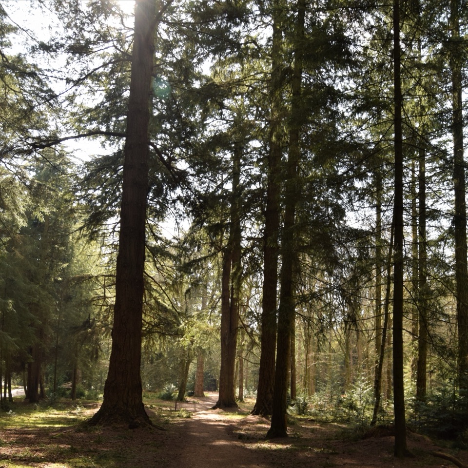
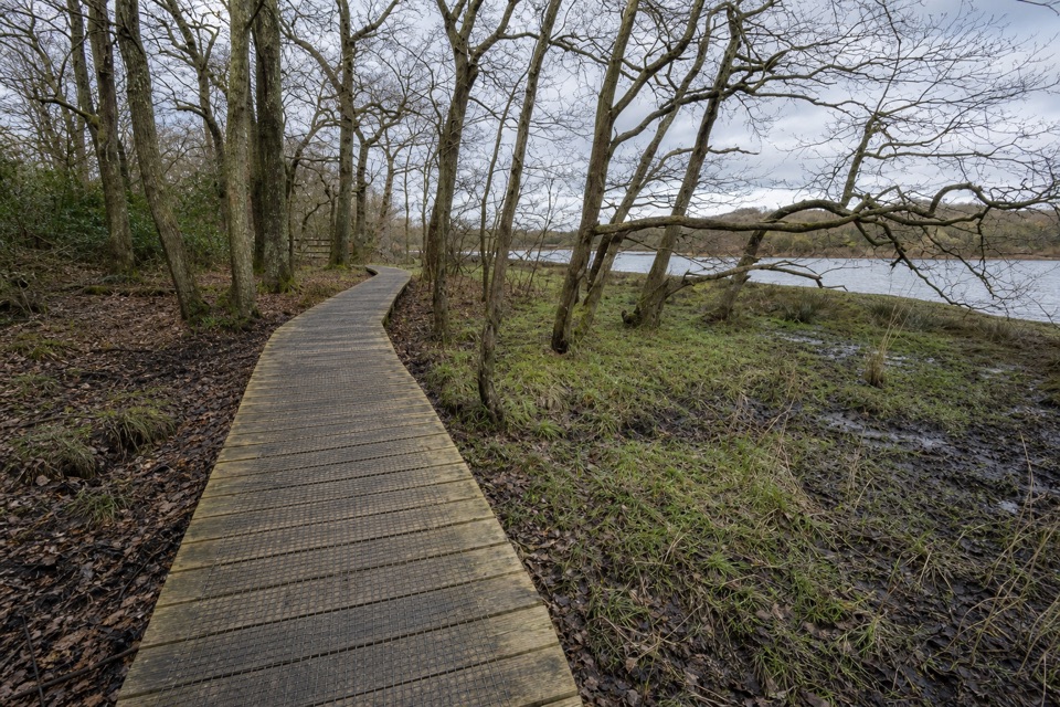
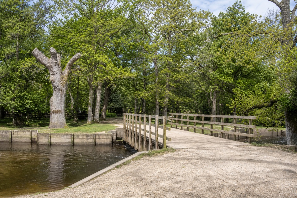
Walhampton Monument is a circular walk from Lymington Town railway station. The mapped loop covers 3.9 miles and usually takes about two hours. It starts beside the river, climbs through woodland to an obelisk, then crosses the golf course and returns by country lanes. Most grades are gentle, but surfaces change between paving, gravel and uneven woodland tracks; the walk is classed as moderate.
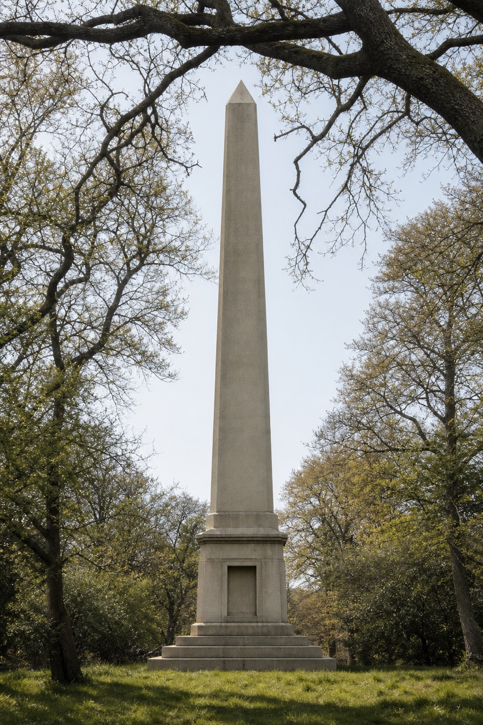
The obelisk commemorates Admiral Sir Harry Burrard-Neale, a naval officer and former Lymington MP. It was built from Dartmoor stone from the same quarry as Nelson’s Column. A local tradition says it served as a sea mark. Trees now screen much of its former outlook over Lymington, while eastern stretches open views toward the Solent. Further on, an interpretation board marks RAF Needs Oar Point, a temporary airfield used in D-Day preparations; four Typhoon squadrons operated from the site.
The station is the trailhead, with train and bus connections. Town parking and public toilets are near St Barbe Museum, a separate stop from the route; no dedicated trail car park was verified. After the airfield board, stay on Shotts Lane and Lisle Court Road to South Baddesley Road rather than turning back across the golf course. Expect public roads as well as footpaths, and watch for golfers and traffic. Dogs are welcome.
Wildlife
 28 sightingsRed DeerMost seen around 7 AMSighting map
 10 sightingsWhite-tailed EagleMost seen around 10 AMSighting map
 14 sightingsHarbor SealMost seen around 7 PMSighting map
 176 sightingsEuropean Fallow DeerMost seen around 7 PMSighting map
 93 sightingsWestern Roe DeerMost seen around 7 AMSighting map
 54 sightingsMute SwanMost seen around 6 PMSighting map
Sighting maps show where each species has been reported across New Forest. Wildlife moves, so no sighting is guaranteed.
Keep exploring
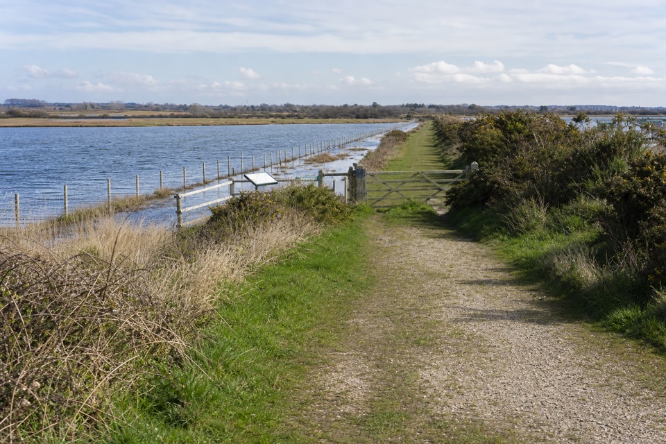 EasyLymington Marshes Rail Trail6 km · 1.5 hr · At the trailheadA flat loop from Lymington’s quay streets to its coastal marshes.
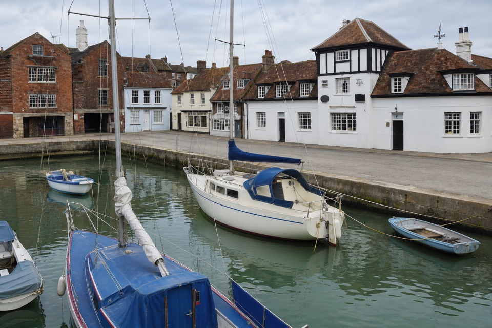 EasyLymington Town Trail3.2 km · 1.5 hr · At the trailheadTwo easy miles link the harbour, leafy lanes, and old Lymington.
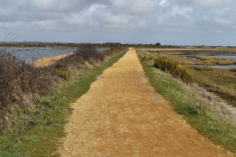 ModerateSea Air Trail8 km · 2.5 hr · 1 km awayFive one-way miles of sea wall between Lymington and Keyhaven.
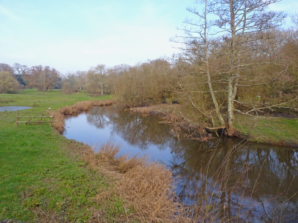 EasyBoldre Village8.2 km · 2.5 hr · 2.7 km awayA 5.1-mile Boldre loop through woods, church lanes and riverside fields
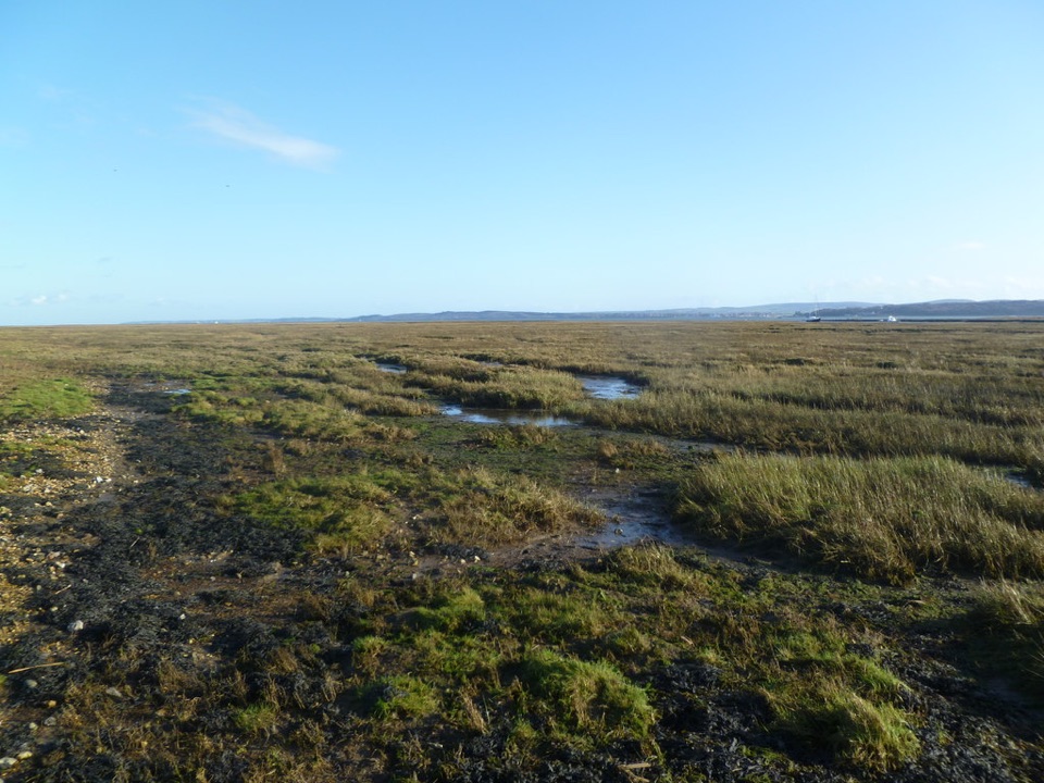 EasyKeyhaven Marshes5.6 km · 1.8 hr · 4.8 km awayFlat seawall walking, lagoon birds and Isle of Wight views.
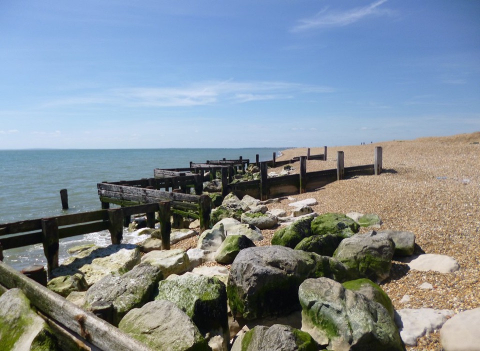 EasyHurst Beach Accessible Trail2.6 km · 1.5 hr · 4.8 km awayA short coast walk with harbour history and a shingle beach finish.
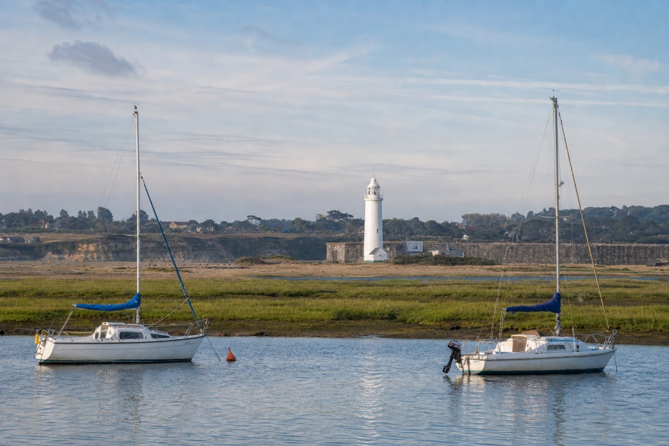 EasyKeyhaven Harbour2.4 km · 1.5 hr · 4.8 km awayA flat sea-wall walk to a jetty with Needles views.
 ModerateKeyhaven to Hurst Castle7.2 km · 2.5 hr · 4.8 km awayA Tudor fortress at the end of a long shingle spit.
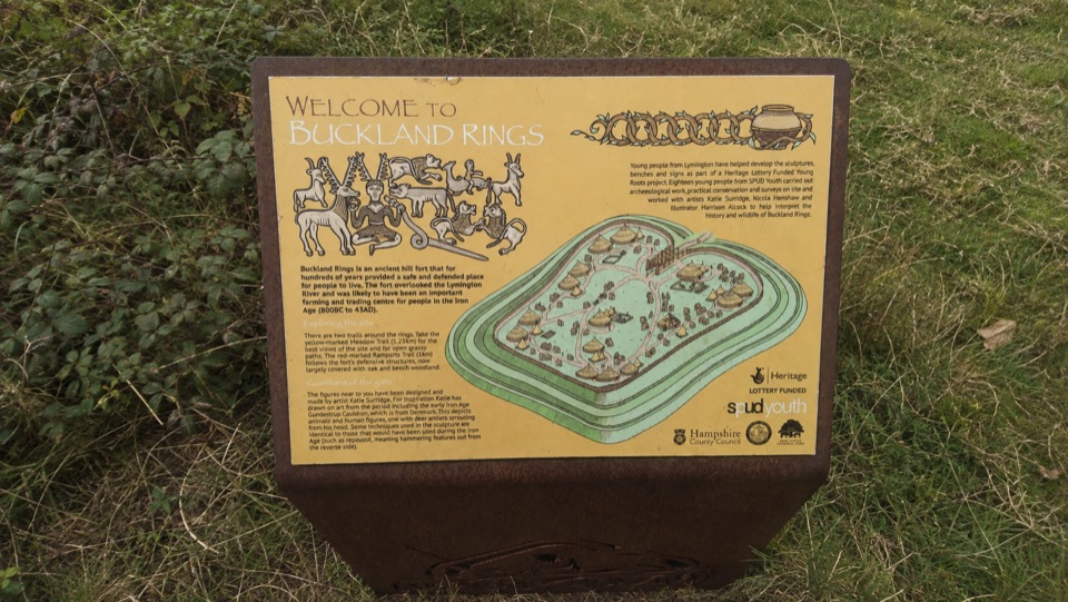 Sight · 1.6 km awayBuckland RingsTriple banks and deep ditches of a well-preserved Iron Age hillfort
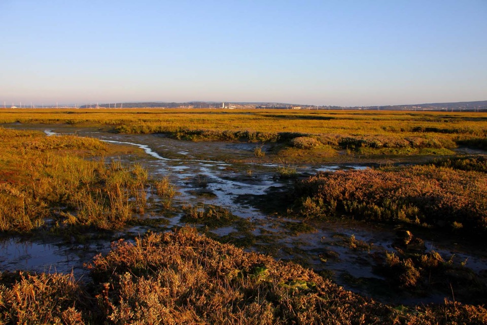 Sight · 4.3 km awayKeyhaven MarshesLevel seawall walking above tidal saltmarsh, with Needles views
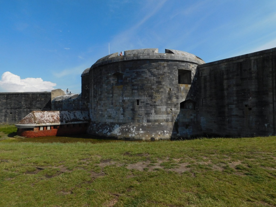 Sight · 6.1 km awayHurst CastleTudor gun fortress at a shingle spit's end, Charles I's prison
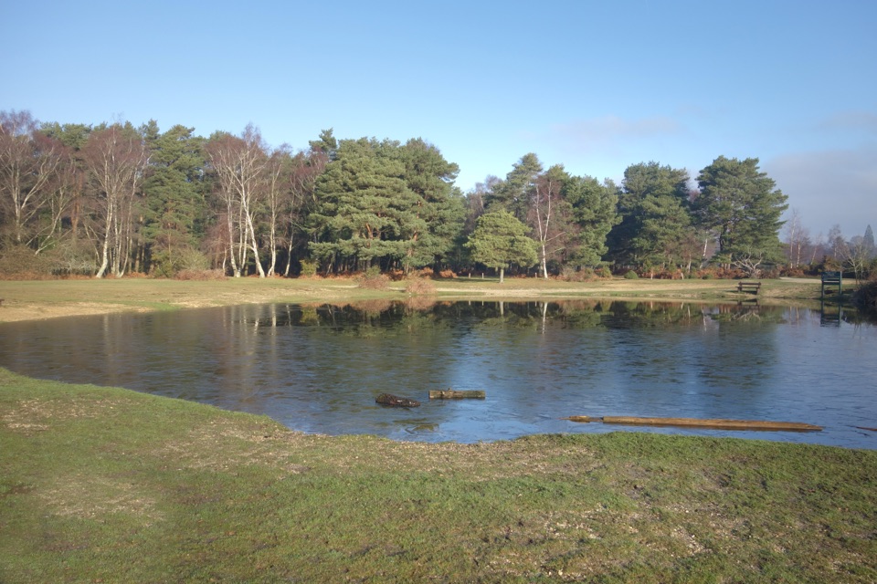 Campground · 6.3 km awayRoundhill CampsiteBig, family-friendly forest campsite with a pond and free-roaming ponies
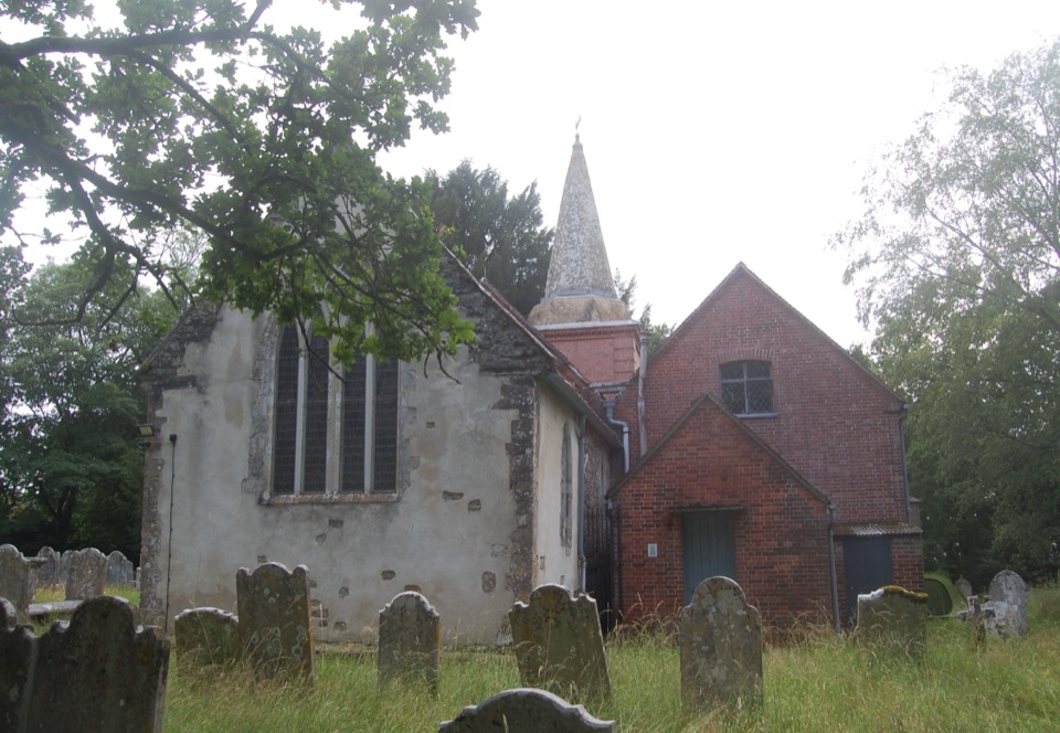 Sight · 6.4 km awaySt Nicholas' ChurchDomesday church with ANZAC graves and Brusher Mills' marker
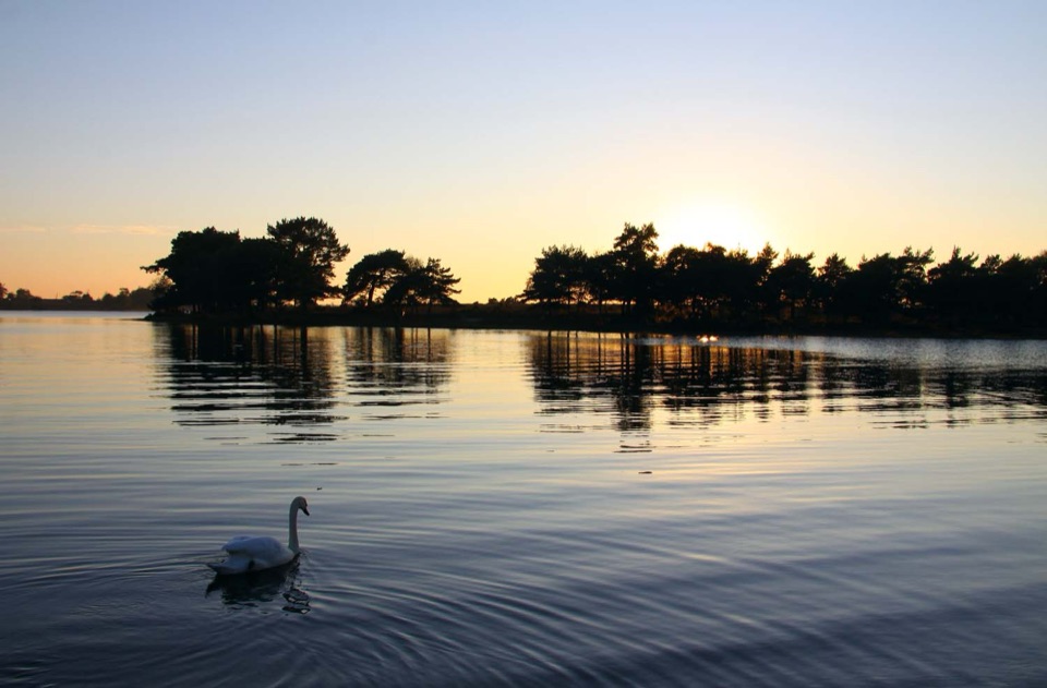 Sight · 6.8 km awayHatchet PondRare wetland wildlife, mirror-flat sunsets and ponies on the heath
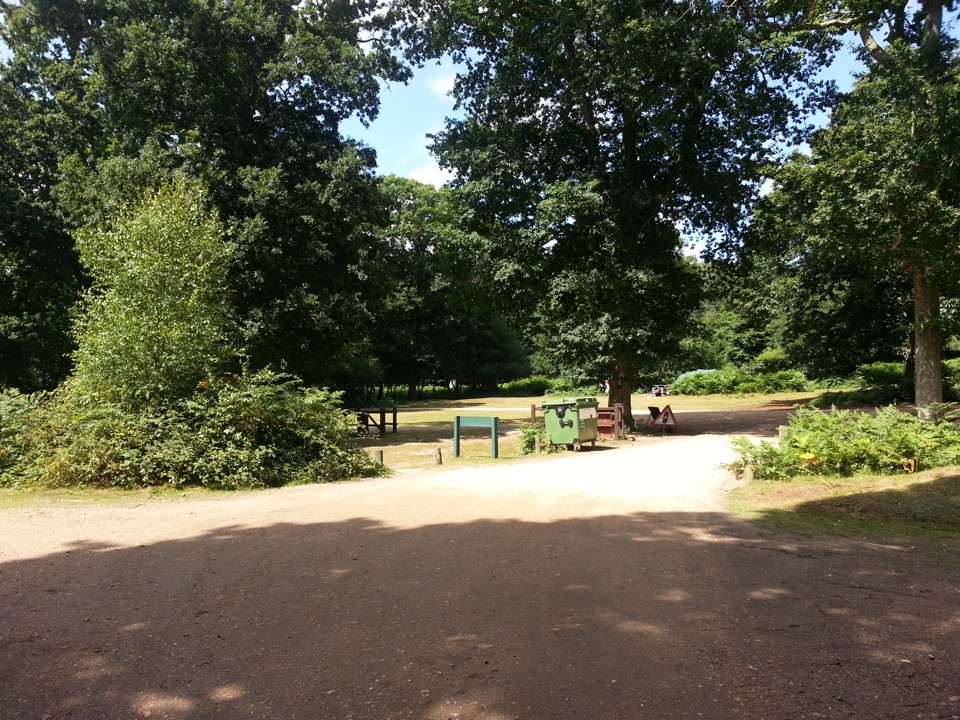 Campground · 7.8 km awaySetthorns CampsiteSelf-sufficient woodland camping among pines, oaks and roaming ponies
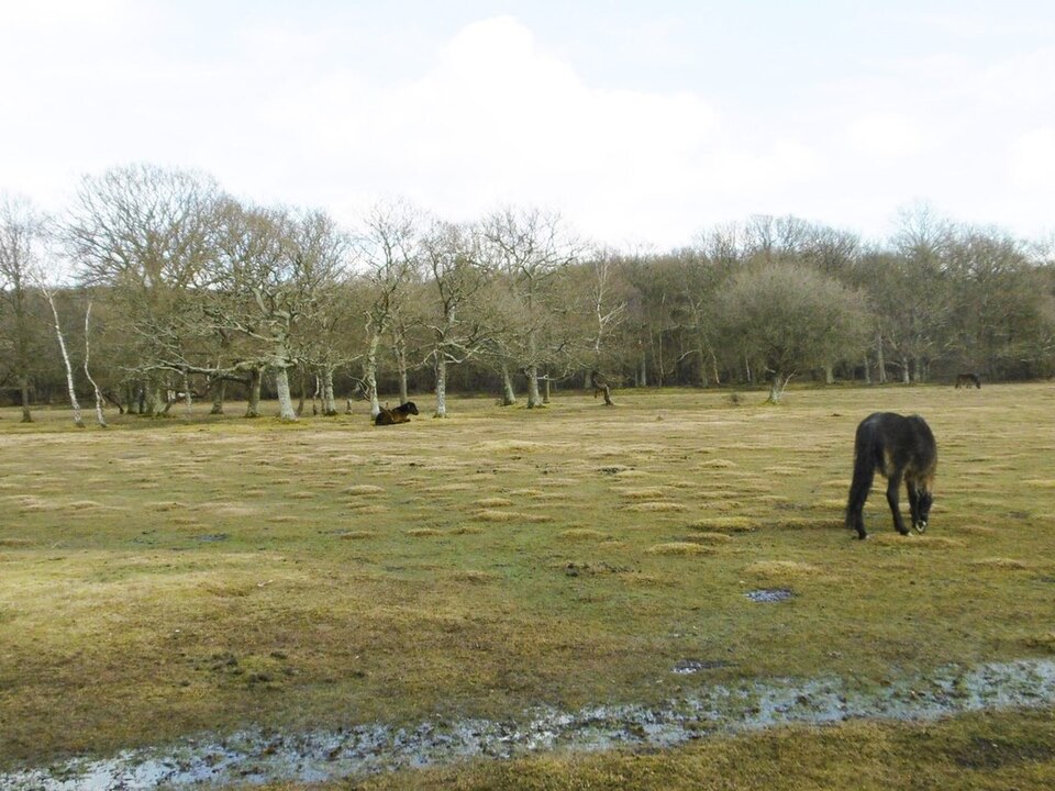 Picnic area · 8.1 km awayBalmer LawnOpen grazing lawn by the Lymington River, with ponies and picnic space
Parkwolf’s New Forest ranking

The audio tour guide for the drive, plus offline maps, trails, and wildlife heatmaps for when the signal drops.