Parking
The start is Chapel Stores on Chapel Lane, East Boldre (SO42 7WP), with a large car park by the shop. You can also join the circuit at Hatchet Pond, Hatchet Moor or Beaulieu Heath car parks.
New Forest National Park, EN
A level heathland circuit between Hatchet Pond and Beaulieu Letters
Overview
Map & elevation
Plan your hike

The highest, rockiest slopes around here are a summer buffet for grizzly bears.
New Forest Tour Guide
Parkwolf is a GPS audio tour guide for New Forest National Park. As you drive, it chimes in with what’s ahead: hidden gems, upcoming stops, history, geology, and wildlife, right through your car’s speakers.
Recorded for this trailhead
East Boldre and the Beaulieu Letters“You're approaching Chapel Stores in East Boldre, the start of a nearly four-mile heathland loop past Hatchet Pond and the Beaulieu Letters.”
Plays as you drive up to this trailhead in the Parkwolf New Forest Tour Guide.
More stories near here in the app
“Fantastic app with many points of information… It’s great to just turn on while you’re driving and it gives you an audio tour of the national Park. We love it!!!!”


Trail guide
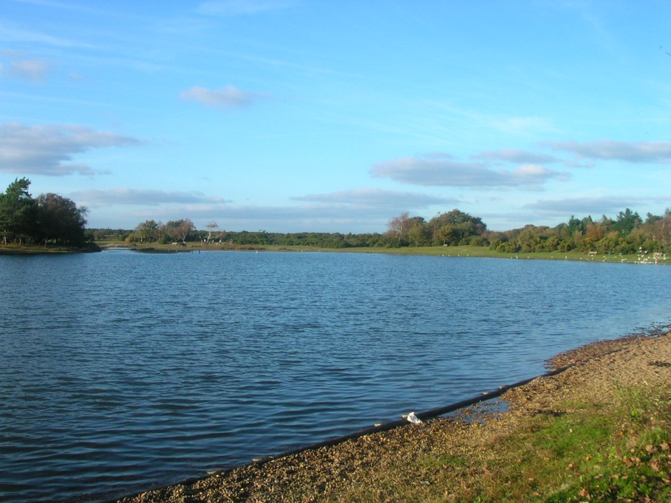
This is a 3.7-mile (6 km) level loop from Chapel Stores in East Boldre, crossing heathland to Hatchet Pond and the open area marked Beaulieu Letters before returning by the village football pitch. Allow about two hours. At this length, with a wet crossing on the way, it is a moderate walk rather than a quick pond-side stroll.
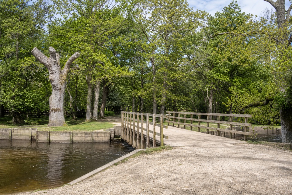
From the shop, cross the village road and follow tracks onto the heath, then continue around Hatchet Pond toward Hatchet Moor. The route turns around the rectangular open ground called Beaulieu Letters, passes the football pitch and returns to Chapel Stores. It stays mostly level, with no sustained climb. The crossing beside the pond can be wet underfoot, so walking boots or wellies are useful.
Begin at Chapel Stores on Chapel Lane, East Boldre (SO42 7WP); there is a large car park by the shop. The store is on the loop for drinks, snacks and ice cream. You can also join from Hatchet Pond, Hatchet Moor or Beaulieu Heath car parks. Dogs are allowed under the New Forest code: keep them close and under effective control, stay on the main tracks and follow seasonal signs around nesting birds.
Wildlife
 28 sightingsRed DeerMost seen around 7 AMSighting map
 10 sightingsWhite-tailed EagleMost seen around 10 AMSighting map
 14 sightingsHarbor SealMost seen around 7 PMSighting map
 176 sightingsEuropean Fallow DeerMost seen around 7 PMSighting map
 93 sightingsWestern Roe DeerMost seen around 7 AMSighting map
 54 sightingsMute SwanMost seen around 6 PMSighting map
Sighting maps show where each species has been reported across New Forest. Wildlife moves, so no sighting is guaranteed.
Keep exploring
 EasyBeaulieu to Buckler’s Hard Walk3.6 km · 1 hr · 2 km awayA saltmarsh riverside walk with a shipbuilding village at the end.
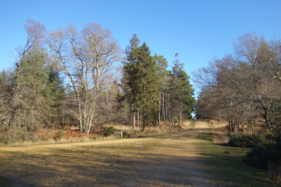 EasyHawkhill Loop2.7 km · 30 min · 2.6 km awayA brief circuit through tall trees on winding forest paths.
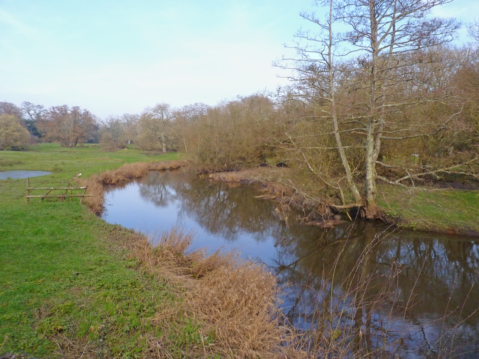 EasyBoldre Village8.2 km · 2.5 hr · 6.4 km awayA 5.1-mile Boldre loop through woods, church lanes and riverside fields
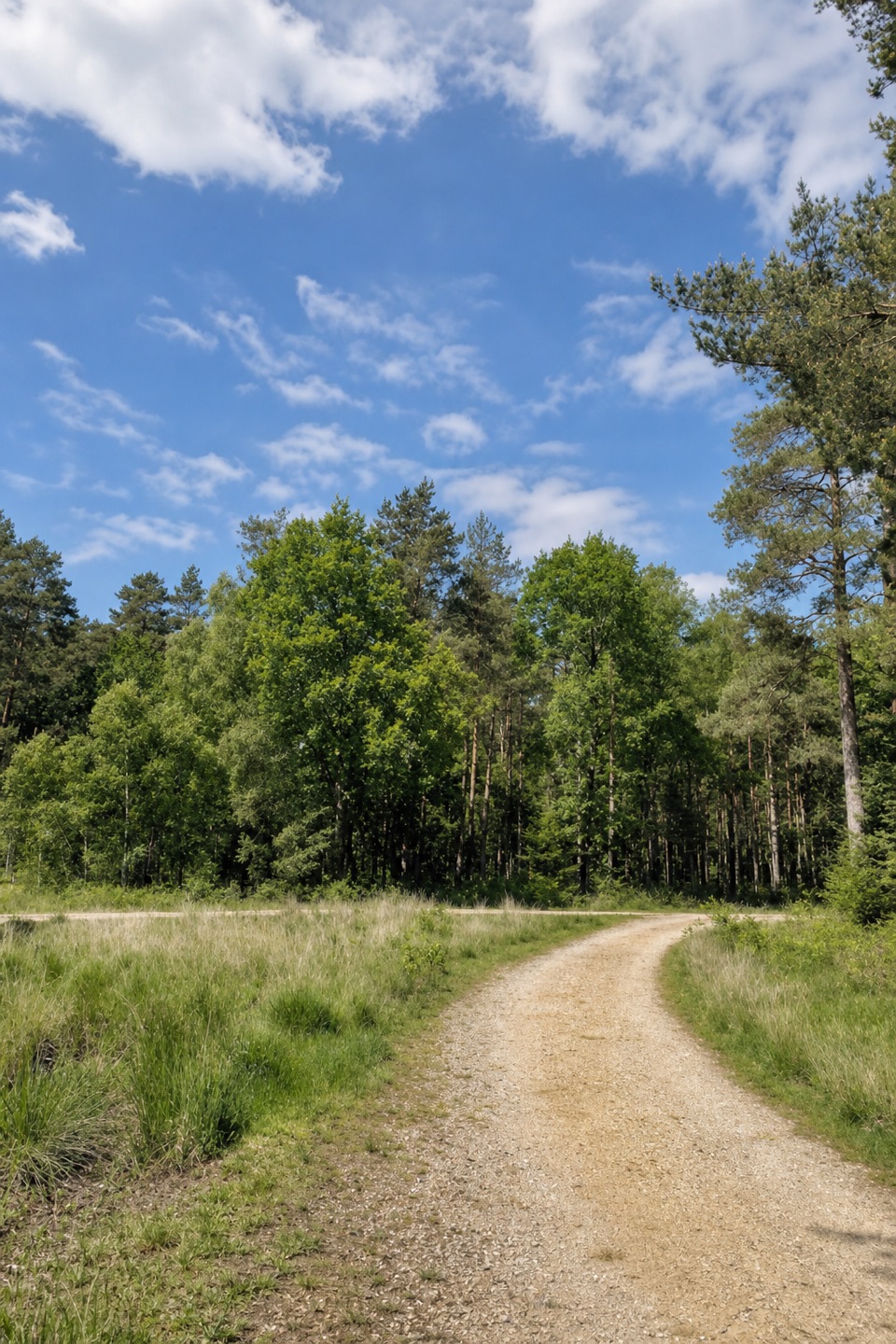 ModerateStanding Hat Loop5 km · 1.5 hr · 6.6 km awayA 3.1-mile woodland loop through Pignal Inclosure
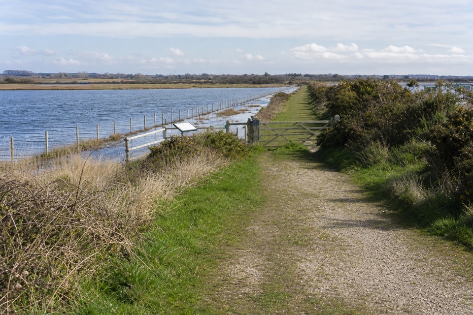 EasyLymington Marshes Rail Trail6 km · 1.5 hr · 6.7 km awayA flat loop from Lymington’s quay streets to its coastal marshes.
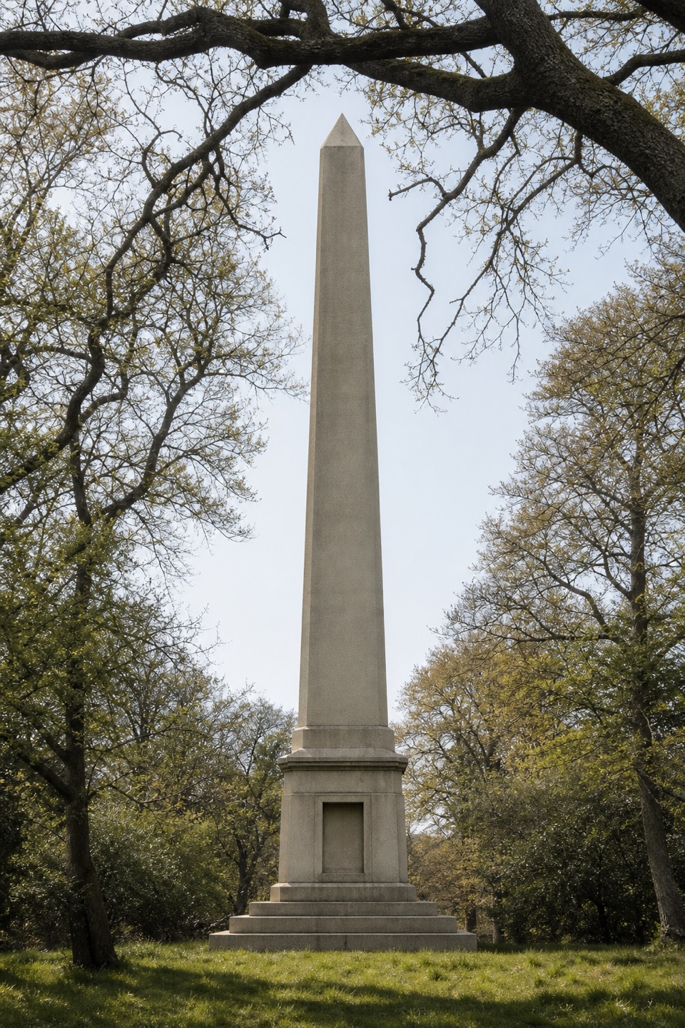 ModerateWalhampton Monument6.3 km · 2 hr · 6.7 km awayA stone obelisk, wartime airfield and Solent views in one circuit.
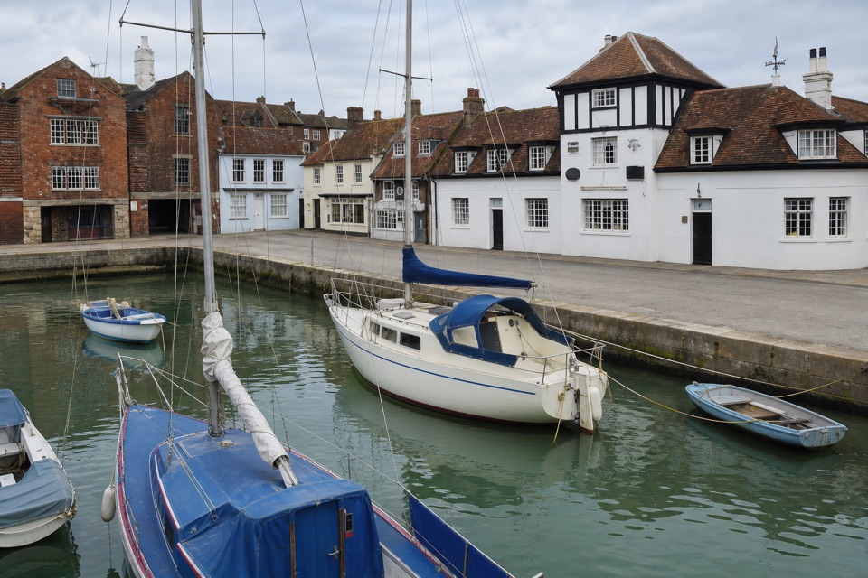 EasyLymington Town Trail3.2 km · 1.5 hr · 6.8 km awayTwo easy miles link the harbour, leafy lanes, and old Lymington.
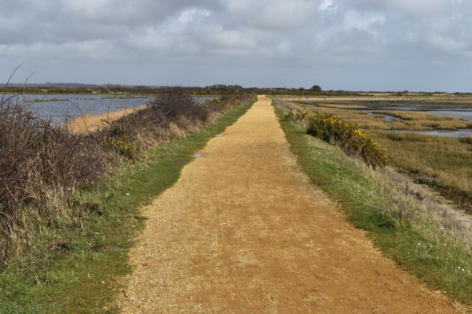 ModerateSea Air Trail8 km · 2.5 hr · 7 km awayFive one-way miles of sea wall between Lymington and Keyhaven.
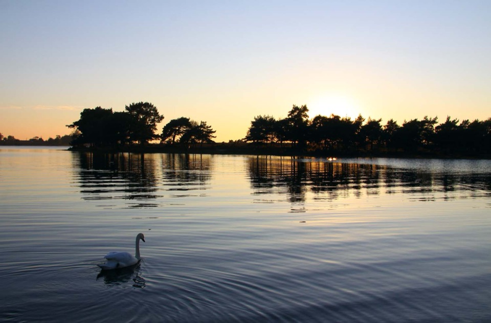 Sight · 1.1 km awayHatchet PondRare wetland wildlife, mirror-flat sunsets and ponies on the heath
 Sight · 2.4 km awayBeaulieu – National Motor MuseumOver 280 vehicles telling Britain's motoring story, from carriages to F1
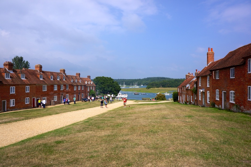 Sight · 3.5 km awayBuckler's HardGeorgian shipyard village where Nelson's warships met the Beaulieu River
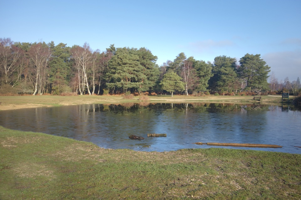 Campground · 4.2 km awayRoundhill CampsiteBig, family-friendly forest campsite with a pond and free-roaming ponies
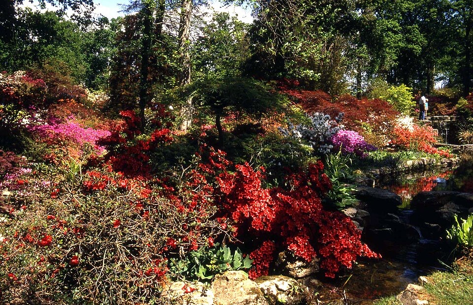 Sight · 5 km awayExbury Gardens200 acres of woodland gardens with a steam train through rhododendrons
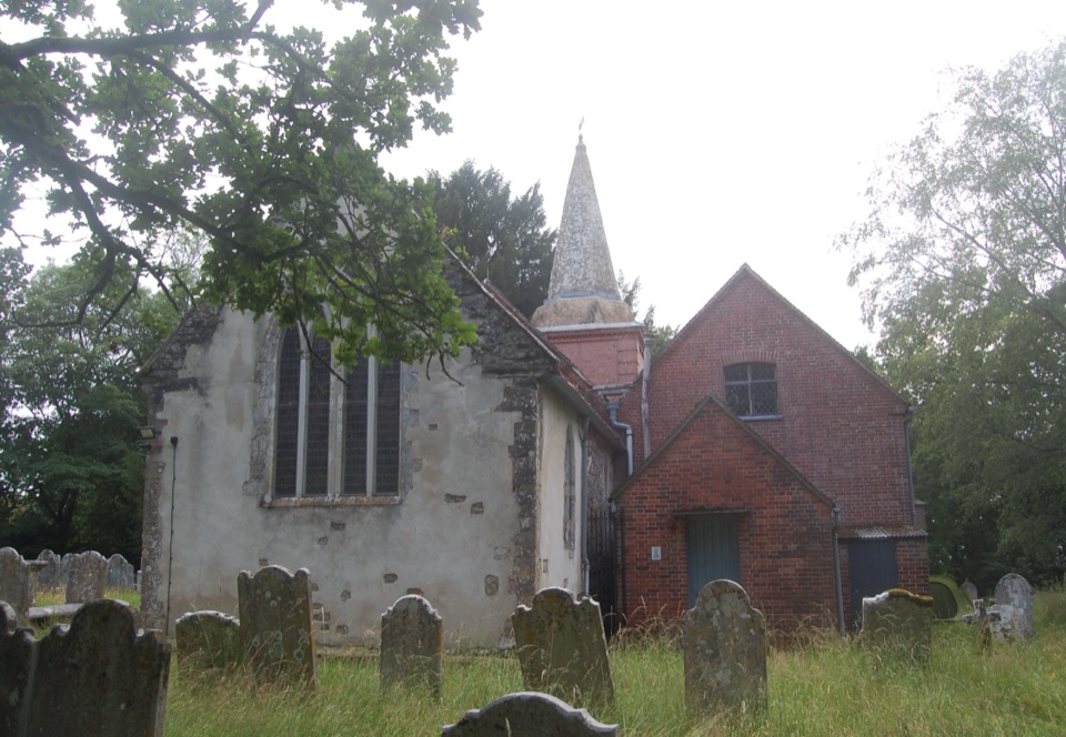 Sight · 6.9 km awaySt Nicholas' ChurchDomesday church with ANZAC graves and Brusher Mills' marker
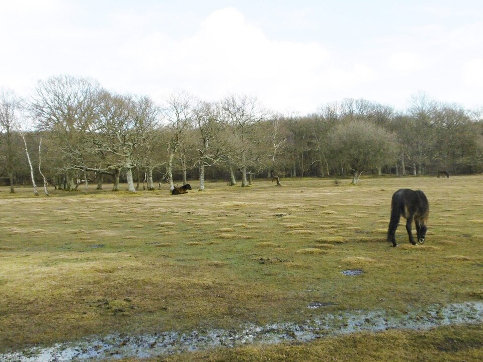 Picnic area · 7.1 km awayBalmer LawnOpen grazing lawn by the Lymington River, with ponies and picnic space
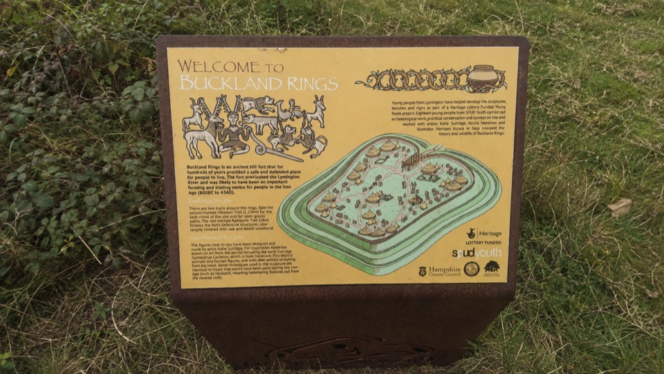 Sight · 7.1 km awayBuckland RingsTriple banks and deep ditches of a well-preserved Iron Age hillfort
Parkwolf’s New Forest ranking

The audio tour guide for the drive, plus offline maps, trails, and wildlife heatmaps for when the signal drops.