Red Ash Community and Mining Ruins in New River Gorge National Park

Sight · New River Gorge National Park

Red Ash Community and Mining Ruins

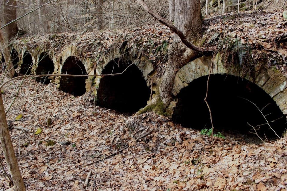
See an unusual bread-loaf coke-oven design on the Southside Trail.

Photo: National Park Service
Type
Sight
Nearest trail
2.2 mi
Audio stories
4 nearby

Hear the audio tour

The Red Ash Rescue

Overview

About Red Ash Community and Mining Ruins

Why stop

  • A well-documented story connects the town, mines and surviving structures.

Heads up

  • The ruins take a trail approach, not a roadside stop.

Map

Where it is

Loading the New River Gorge map
Full map
SightRed Ash Community and Mining Ruins37.96260, -81.04929
Keep this map with you offline in the Parkwolf app

Plan your stop

Before you go

5 active New River Gorge alerts

  • ClosureRend and Church Loop trails closedRend Trail is closed from both trailheads through approximately December 2027; Church Loop Trail is also closed because its only access is from Rend.Official details
  • ClosureKaymoor Miners Trail weekday closureThe upper Kaymoor Miners Trail is closed Monday–Thursday through November 19 for trail rehabilitation.Official details

See all 5 alerts
A park ranger sits on a dash-mounted phone, talking, as Parkwolf’s Tour Guide plays “Army Cutworm Moths: A Grizzly Bear Buffet” on Grand Loop Road below Dunraven Pass in Yellowstone
Parkwolf Tour GuideThe highest, rockiest slopes around here are a summer buffet for grizzly bears.

New River Gorge Tour Guide

Your drive to Red Ash Community and Mining Ruins, narrated.

Parkwolf is a GPS audio tour guide for New River Gorge National Park. As you drive, it chimes in with what’s ahead: hidden gems, upcoming stops, history, geology, and wildlife, right through your car’s speakers.

See the New River Gorge audio tour

Recorded for this area

The Red Ash Rescue
0:00 / 0:36
“At Red Ash, a rescue attempt became a second disaster. In March nineteen oh five, the Red Ash and Rush Run mines were connected underground.”

Plays on the road 0.9 mi from Red Ash Community and Mining Ruins in the Parkwolf New River Gorge Tour Guide.

More stories near here in the app

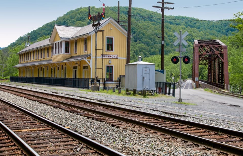
  • Thurmond's Railroad Town
  • Waves That Stay Put
  • A Ballplayer's Mining Job
  • Stone Cliff Beside the River
  • 92 audio storiesacross New River Gorge’s roads, triggered by GPS as you drive
  • Wildlife heatmapsfor Black Bear, White-tailed Deer, Pileated Woodpecker, and 13 more
  • Works offlinemaps, 49 trails, 55 places, and audio download before you lose signal
  • CarPlay readysimple controls built for the drive
★★★★★
“Fantastic app with many points of information… It’s great to just turn on while you’re driving and it gives you an audio tour of the national Park. We love it!!!!”
JMJamesApp Store review
Download Parkwolf on the App StoreGet Parkwolf on Google Play

4.7 from 8,600+ ratings

Guide

More about Red Ash Community and Mining Ruins

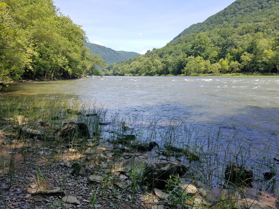
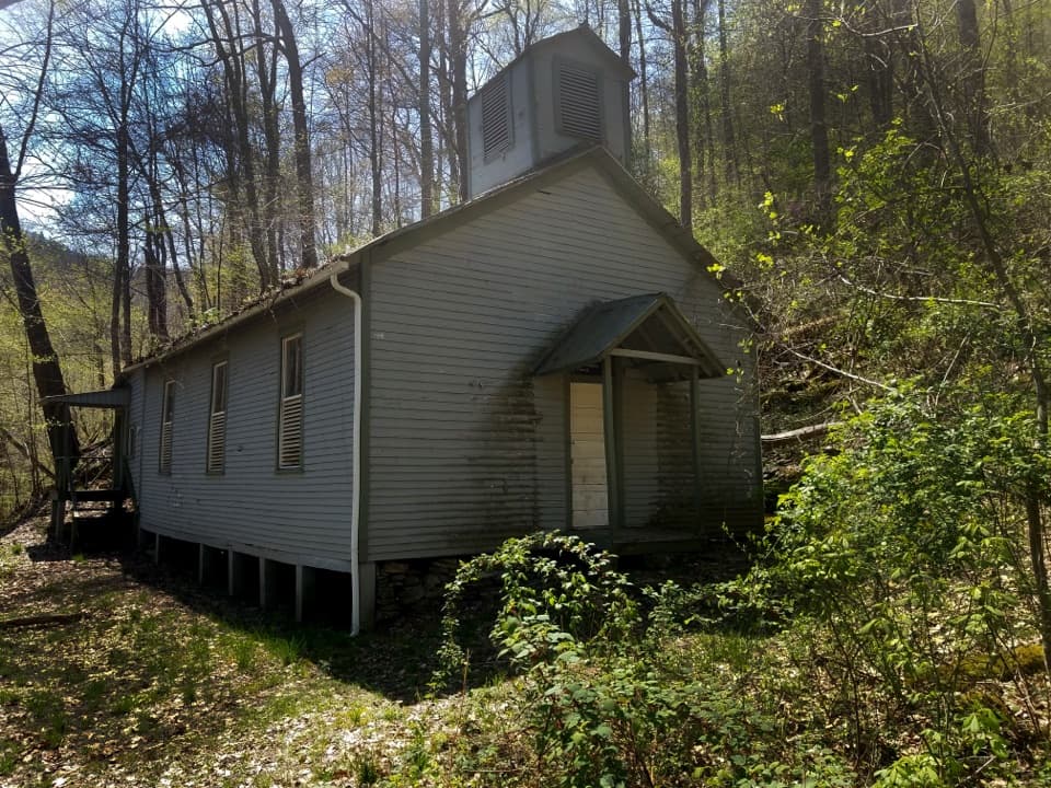
What remainsRed Ash is the remains of a coal-mining community along the Southside Trail near the New River.

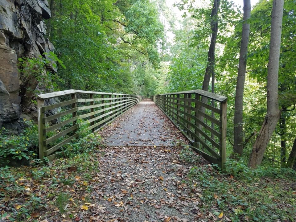
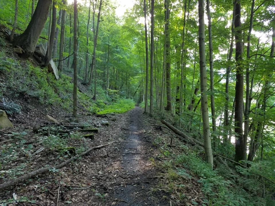
Red Ash is the remains of a coal-mining community along the Southside Trail near the New River. Stone foundations, retaining walls and chimney stacks mark the old settlement, with a set of coke ovens as its clearest industrial feature. The ovens sit about 30 feet uphill from the trail, beyond a retaining wall. Keep off the old walls and constructed features; walking or climbing on them weakens the structures.

Make the approach workSouthside Trail is a seven-mile, one-way riverside route for hikers and bicyclists, and Red Ash…

Southside Trail is a seven-mile, one-way riverside route for hikers and bicyclists, and Red Ash is one stop along it. Cunard River Access is the listed trailhead, with auto parking and a vault toilet; those facilities are at the access point, not at the ruins. The first mile from Cunard allows motor vehicles. Choose your starting point and check the route before setting out, since the distance to Red Ash depends on the segment you use.

A community built around coalRed Ash was established in 1891 to house workers for its namesake mine and nearby operations,…

Red Ash was established in 1891 to house workers for its namesake mine and nearby operations, including Rush Run and Kaymoor. In 1900, an explosion at the Red Ash mine killed 46 workers. The community was abandoned by the 1950s as the mines closed.

A different kind of coke ovenThe Red Ash ovens have a bread-loaf, or vaulted, profile, unlike the more common beehive design…

The Red Ash ovens have a bread-loaf, or vaulted, profile, unlike the more common beehive design at nearby Brooklyn and Rush Run. Their large openings face the front, and a service and ventilation tunnel runs along the back. Historical records indicate the ovens were no longer in use sometime before 1916; the exact final year is unknown.

Where the ruins blur togetherSome foundations, retaining walls and chimney stacks along this stretch cannot be confidently…

Some foundations, retaining walls and chimney stacks along this stretch cannot be confidently assigned to Red Ash or neighboring Rush Run. Enjoy the remains without pinning an unidentified building on one town or the other.

Wildlife

Wildlife in New River Gorge

All New River Gorge wildlife maps

Sighting maps show where each species has been reported across New River Gorge. Wildlife moves, so no sighting is guaranteed.

Keep exploring

Near Red Ash Community and Mining Ruins

See it all on the map

Trails nearby

More stops nearby

Parkwolf’s New River Gorge ranking

Top sights in New River Gorge

All 55 places
  1. 1New River Gorge BridgeSight
  2. 2Sandstone FallsSight
  3. 3Grandview Main OverlookSight
  4. 4Diamond Point OverlookSight
  5. 5Long Point OverlookSight
  6. 6Nuttallburg Historic SiteSight

Take Parkwolf to New River Gorge.

The audio tour guide for the drive, plus offline maps, trails, and wildlife heatmaps for when the signal drops.

4.7 from 8,600+ ratings

Download Parkwolf on the App StoreGet Parkwolf on Google Play