Brooklyn Mining Complex & Community Ruins in New River Gorge National Park

Sight · New River Gorge National Park

Brooklyn Mining Complex & Community Ruins

A 1890s coal camp left a ruined tipple and coke ovens.

Photo: National Park Service
Type
Sight
Nearest trail
1.1 mi
Audio stories
3 nearby
  • Parking
  • Trailhead

Hear the audio tour

Cunard River Access and Brooklyn

Overview

About Brooklyn Mining Complex & Community Ruins

Why stop

  • Company-town ruins and coke ovens tell one connected coal story.

Heads up

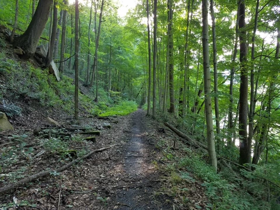
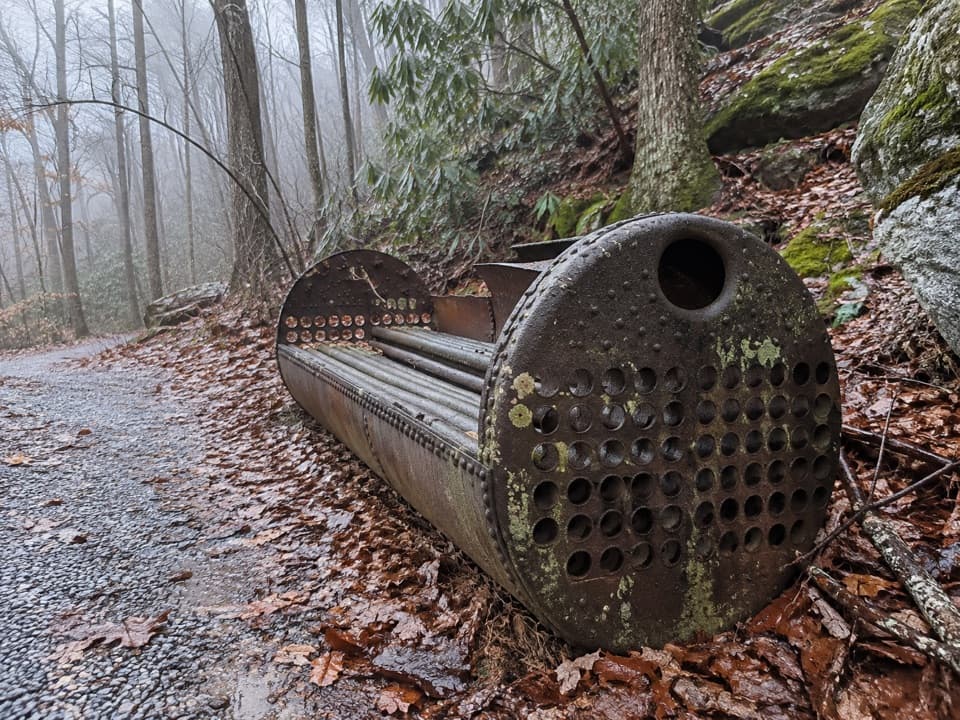
  • The remains are spread along the trail, not arranged as a walk-through village.

Map

Where it is

Loading the New River Gorge map
Full map
SightBrooklyn Mining Complex & Community Ruins37.98411, -81.02820
Keep this map with you offline in the Parkwolf app

Plan your stop

Before you go

Getting there

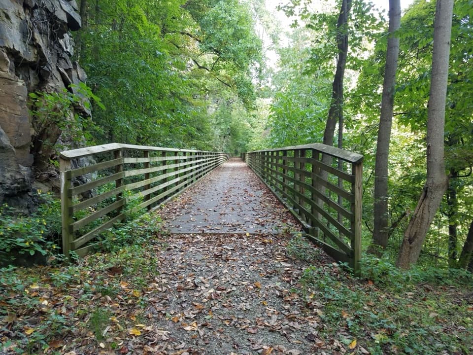
From US 19, follow WV 16 through Fayetteville to Gatewood and Cunard Roads. The parking area at Brooklyn marks the end of the maintained road, and the Southside Trail continues through the remains; the full trail is seven miles one way. No food service or drinking water is listed for the site, so bring what you need. If you continue to Southside Junction, do not walk on or cross the active, private railroad.

5 active New River Gorge alerts

  • InfoCunard Road closure scheduled for NovemberMentions Cunard Road, referenced in this guideCunard Road is currently open, but is scheduled to close from November through March between just beyond the Brooklyn Mine Trail parking lot and Cunard river access as road repairs resume.Official details
  • ClosureRend and Church Loop trails closedRend Trail is closed from both trailheads through approximately December 2027; Church Loop Trail is also closed because its only access is from Rend.Official details
See all 5 alerts
A park ranger sits on a dash-mounted phone, talking, as Parkwolf’s Tour Guide plays “Army Cutworm Moths: A Grizzly Bear Buffet” on Grand Loop Road below Dunraven Pass in Yellowstone
Parkwolf Tour GuideThe highest, rockiest slopes around here are a summer buffet for grizzly bears.

New River Gorge Tour Guide

Your drive to Brooklyn Mining Complex & Community Ruins, narrated.

Parkwolf is a GPS audio tour guide for New River Gorge National Park. As you drive, it chimes in with what’s ahead: hidden gems, upcoming stops, history, geology, and wildlife, right through your car’s speakers.

See the New River Gorge audio tour

Recorded for this place

Cunard River Access and Brooklyn
0:00 / 0:32
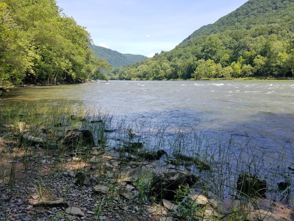
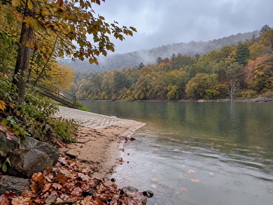
“You're approaching Cunard River Access, a working launch for rafting trips and private paddlers on the Lower New River. Stop if you want to fish, get onto the water, or explore the nearby coal-town remains.”

Plays as you drive up to Brooklyn Mining Complex & Community Ruins in the Parkwolf New River Gorge Tour Guide.

More stories near here in the app

  • A Ballplayer's Mining Job
  • The Red Ash Rescue
  • Freight Boats Before the Trains
  • Waves That Stay Put
  • 92 audio storiesacross New River Gorge’s roads, triggered by GPS as you drive
  • Wildlife heatmapsfor Black Bear, White-tailed Deer, Pileated Woodpecker, and 13 more
  • Works offlinemaps, 49 trails, 55 places, and audio download before you lose signal
  • CarPlay readysimple controls built for the drive
★★★★★
“Fantastic app with many points of information… It’s great to just turn on while you’re driving and it gives you an audio tour of the national Park. We love it!!!!”
JMJamesApp Store review
Download Parkwolf on the App StoreGet Parkwolf on Google Play

4.7 from 8,600+ ratings

Guide

More about Brooklyn Mining Complex & Community Ruins

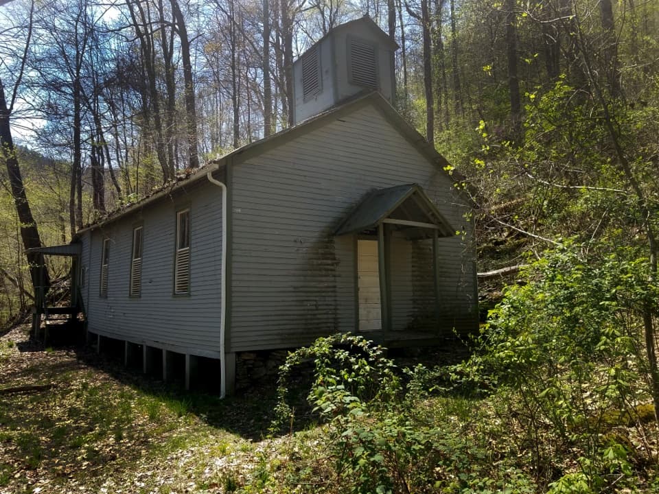
What remainsBrooklyn is the remains of a 1890s coal camp and mine along New River Gorge’s Southside Trail.

Brooklyn is the remains of a 1890s coal camp and mine along New River Gorge’s Southside Trail. The coal tipple is the standout ruin, with foundations and other remains scattered along the trail for as much as three quarters of a mile. Come for a look at a coal town’s industrial footprint, not a restored village you can walk through. Keep off the walls and built features; climbing, sitting or walking on them weakens the structures.

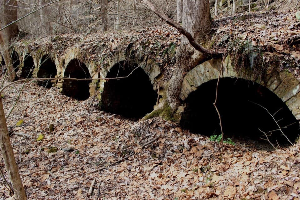
The coke ovensNear the river, Brooklyn’s beehive-style coke ovens sit opposite the trail beside the old rail…

Near the river, Brooklyn’s beehive-style coke ovens sit opposite the trail beside the old rail line. Structural evidence suggests nearly 80 once stood here, lined up so coke could be transferred to train cars. The ovens give you one clear subject amid the scattered foundations; for a photo, frame the line of masonry instead of trying to capture the whole settlement at once.

A company townBuilt for the Brooklyn Coal Company in the 1890s, Brooklyn was a full-service mining town with…

Built for the Brooklyn Coal Company in the 1890s, Brooklyn was a full-service mining town with a company store, post office and housing. The mine closed in the 1950s, and the community and its structures were abandoned afterward. The mine entrance lay higher in the Gorge, separate from the tipple and coke ovens along the trail.

Wildlife

Wildlife in New River Gorge

All New River Gorge wildlife maps

Sighting maps show where each species has been reported across New River Gorge. Wildlife moves, so no sighting is guaranteed.

Keep exploring

Near Brooklyn Mining Complex & Community Ruins

See it all on the map

Trails nearby

More stops nearby

Parkwolf’s New River Gorge ranking

Top sights in New River Gorge

All 55 places
  1. 1New River Gorge BridgeSight
  2. 2Sandstone FallsSight
  3. 3Grandview Main OverlookSight
  4. 4Diamond Point OverlookSight
  5. 5Long Point OverlookSight
  6. 6Nuttallburg Historic SiteSight

Take Parkwolf to New River Gorge.

The audio tour guide for the drive, plus offline maps, trails, and wildlife heatmaps for when the signal drops.

4.7 from 8,600+ ratings

Download Parkwolf on the App StoreGet Parkwolf on Google Play