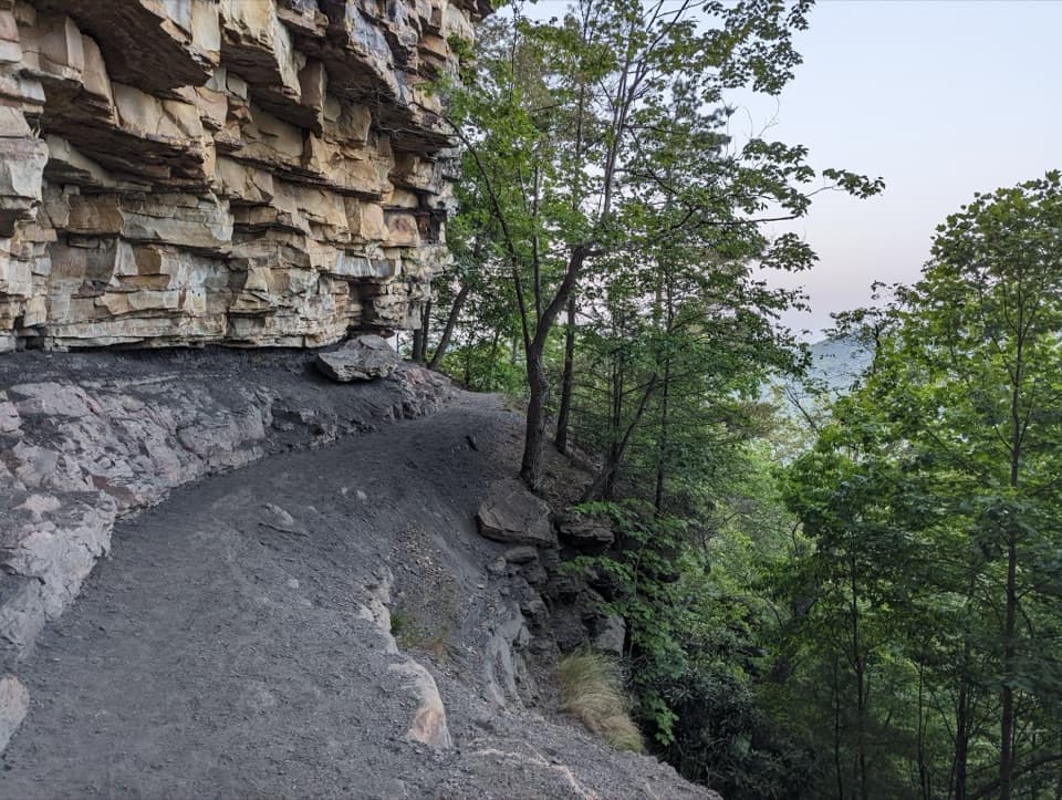
Parking
No formal lot. Local hike accounts describe a few roadside pull-offs at the unmarked Beauty Mountain Road and Buckhorn Road junction. Confirm access before parking, follow posted restrictions, and do not block the road.

New River Gorge National Park, WV
A short ridge walk opens onto wide views over the New River.
Overview
Map & elevation
Plan your hike

The highest, rockiest slopes around here are a summer buffet for grizzly bears.
New River Gorge Tour Guide
Parkwolf is a GPS audio tour guide for New River Gorge National Park. As you drive, it chimes in with what’s ahead: hidden gems, upcoming stops, history, geology, and wildlife, right through your car’s speakers.
See the New River Gorge audio tourRecorded for this area
Keeneys Creek and the Town Loop“You're coming up on the Keeneys Creek trailhead, where I'd choose the Nuttallburg Loop for a closer look at how the coal town was laid out.”
Plays on the road 0.4 mi from the trailhead in the Parkwolf New River Gorge Tour Guide.
More stories near here in the app
“Fantastic app with many points of information… It’s great to just turn on while you’re driving and it gives you an audio tour of the national Park. We love it!!!!”


Trail guide
Beauty Mountain Trail is an informal out-and-back of about 1.1 miles round trip from an unmarked roadside junction to cliffside views over the New River. Allow 45 minutes to an hour with stops. The ridge walk is mostly level and suits a quick overlook visit, though the loose trail network takes more attention than a signed park path.
Access is the main question to settle before driving out. Local accounts place the start at the Beauty Mountain Road and Buckhorn Road junction, but the approach road is marked private on some maps and private parcels sit within the park boundary. I found no official confirmation of public rights for this specific access. Check posted signs and do not enter restricted land. Some listings give 1.5 miles without defining endpoints; the mapped 1.1-mile route covers the main overlook outing, with extra wandering adding distance.
The path starts through rhododendron and hardwood cover, then forks about 100 feet in. The right-hand branch follows power lines toward narrower ledges with only partial gorge views. Return to the fork and take the left-hand ridge path for the broad slab at the main cliffs. There are no trail markers, and smaller paths split and rejoin near the rim, so keep the main route in view rather than treating every worn trace as part of one hike.
The broad overlook opens onto the New River below, with Endless Wall across the gorge and the cliffs above the Kaymoor and Long Point area farther along the skyline. The bend in the river makes a useful line through the view; include it with the opposite wall for a sense of scale. The sandstone edge is unprotected, so enjoy the panorama from well back from the brink.
Beauty Mountain is a long sandstone rim rather than a pointed summit. Resistant Nuttall Sandstone forms the cliffs, and large boulders sit near the brink. The area is also a major climbing destination; you may see climbers on the rock face below, but the hiking route itself is an overlook walk, not a climbing approach. Dogs are allowed on park trails and must stay leashed.
Wildlife
 18 sightingsBlack BearMost seen around 7 PMSighting map
 126 sightingsWhite-tailed DeerMost seen around 6 AMSighting map
 25 sightingsPileated WoodpeckerMost seen around 8 AMSighting map
 15 sightingsBarred OwlMost seen around 7 PMSighting map
 14 sightingsWild TurkeyMost seen around 6 AMSighting map
 58 sightingsCopperheadMost seen around 7 PMSighting map
Sighting maps show where each species has been reported across New River Gorge. Wildlife moves, so no sighting is guaranteed.
Keep exploring
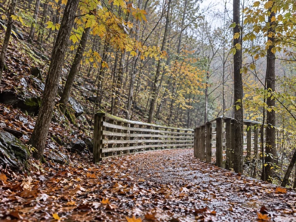 EasyKeeneys Creek Rail Trail3.3 mi · 1.5 hr · 0.4 mi awayA gentle rail grade through mining country, creek views, and trestles.
 ModerateNuttallburg Loop2.5 mi · 2 hr · 0.4 mi awayA short coal-town loop past coke ovens and a towering tipple.
 EasyTipple Trail1.2 mi · 1 hr · 0.9 mi awayA short walk past the conveyor to the tipple and coke ovens.
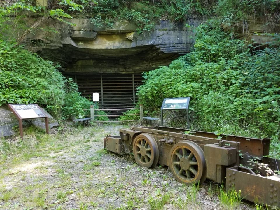 ModerateHeadhouse Trail1.4 mi · 1.5 hr · 1 mi awayA short, steep descent to a remarkably intact coal-mine complex.
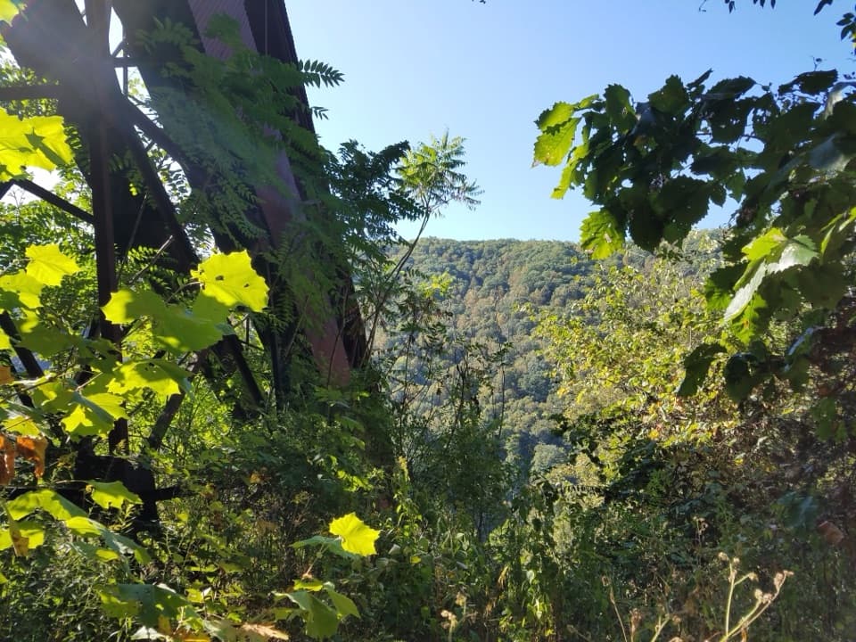 ChallengingConveyor Trail0.8 mi · 1.3 hr · 1.1 mi awayA short, steep climb under Nuttallburg's old coal conveyor.
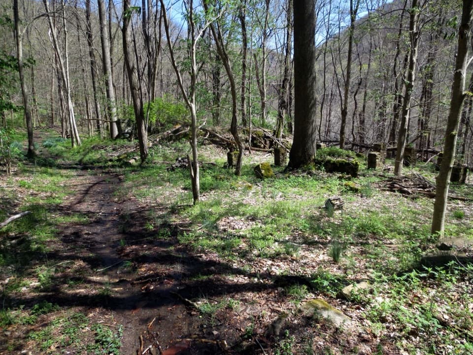 EasySeldom Seen Trail0.6 mi · 30 min · 1.2 mi awayA short wooded spur leads to Seldom Seen’s old foundations
 ModerateDalton Trail6.4 mi · 3.5 hr · 1.7 mi awayA rhododendron tunnel and a long, twisty ridge trail.
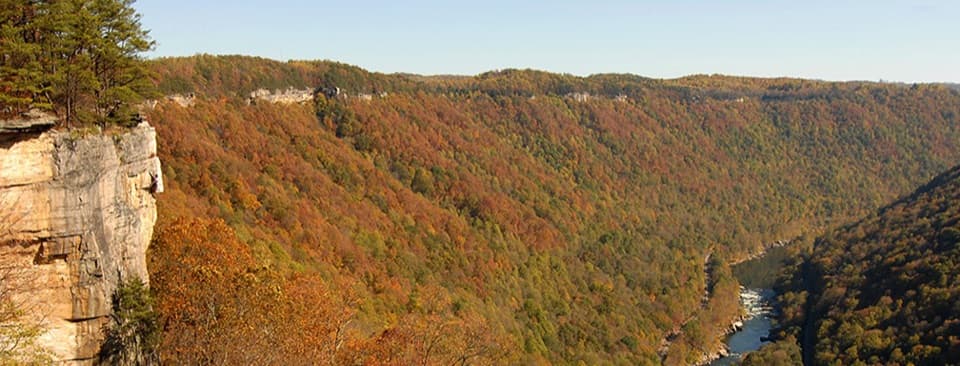 ModerateEndless Wall Trail2.4 mi · 1.8 hr · 2.1 mi awayWalk the New River rim to Diamond Point's high gorge view.Sight · 0.9 mi awayNuttallburg Historic SiteA preserved coal town with a rust-red tipple and a tricky drive.
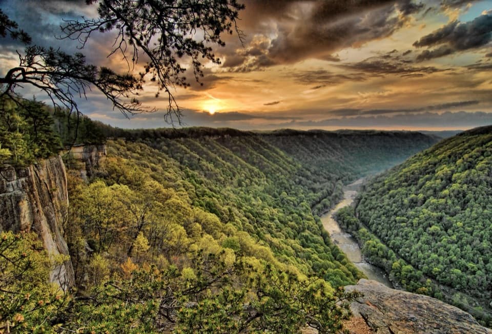 Sight · 2 mi awayDiamond Point OverlookA cliff-edge view down nearly 1,000 feet to the New River.
 Sight · 2.3 mi awayKaymoor One MineA coal mine and coke ovens linked by 821 steps.
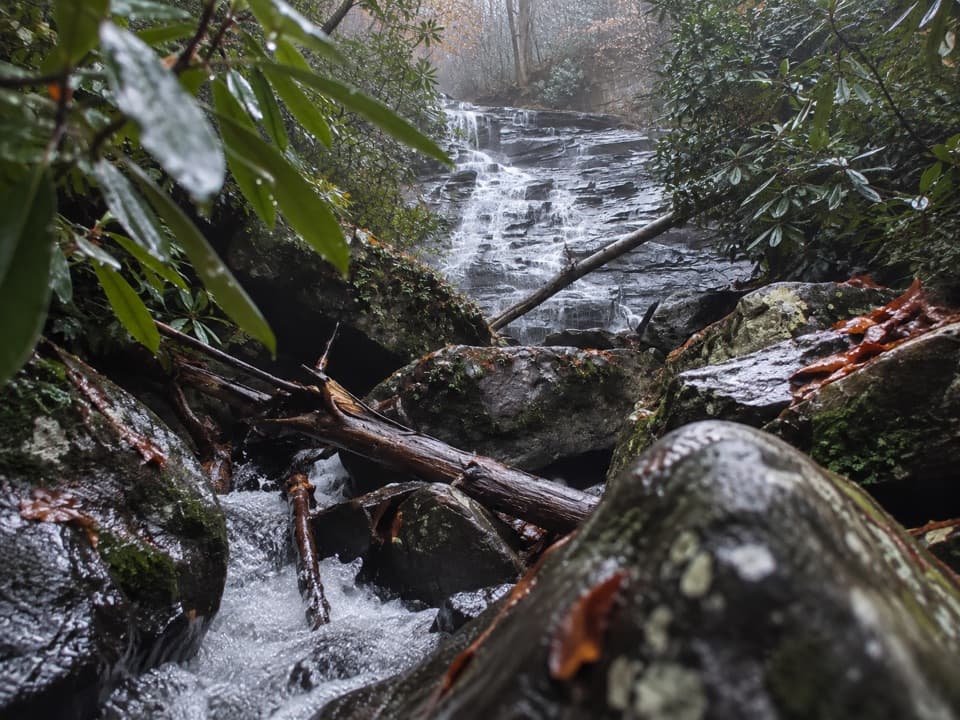 Sight · 2.7 mi awayButcher Branch FallsA close-up waterfall reached by a short, steep spur.
 Sight · 3 mi awayLong Point OverlookA rough last pitch opens onto the park’s signature bridge view.
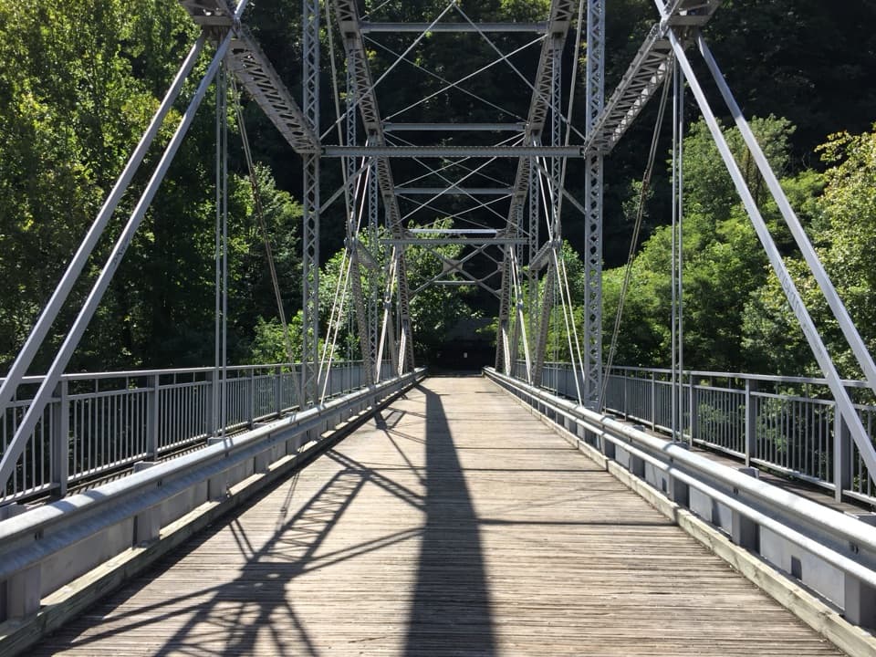 Sight · 3.2 mi awayTunney Hunsaker BridgeA historic lower crossing on Fayette Station Road's one-way gorge drive.
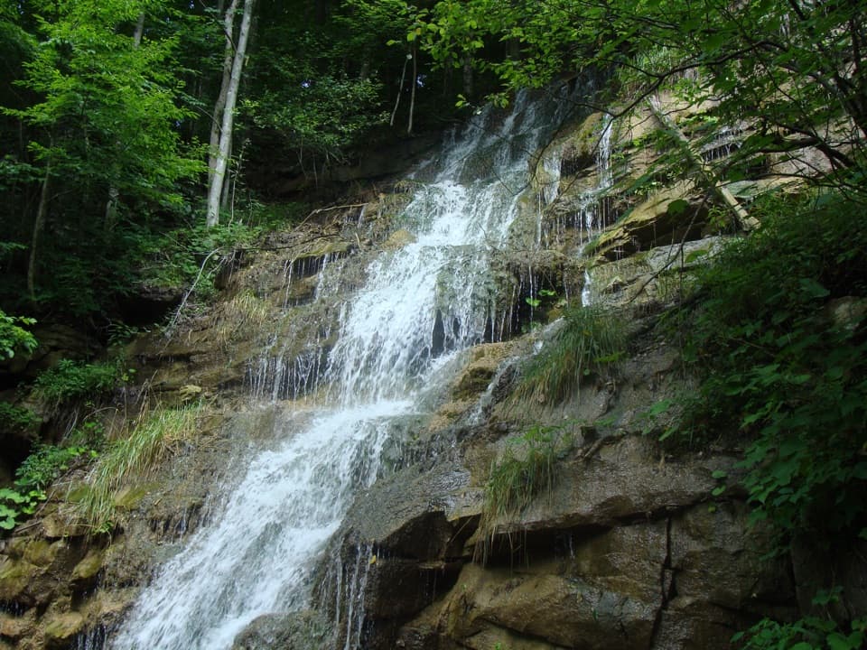 Sight · 3.2 mi awayKaymoor Mine FallsA mossy cascade where mine drainage meets Wolf Creek.
 Sight · 3.2 mi awayBridge WalkA harnessed walk beneath the highway, 850 feet above the river.
Parkwolf’s New River Gorge ranking

The audio tour guide for the drive, plus offline maps, trails, and wildlife heatmaps for when the signal drops.