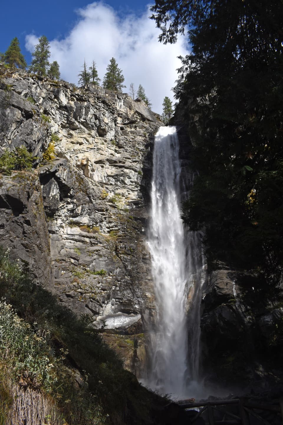
Gorge Creek Falls in North Cascades National Park

#4 of 26 sights in North Cascades

Sight · North Cascades National Park

Gorge Creek Falls

A 242-foot cascade drops through a gorge beside SR 20.

Photo: Wikimedia Commons
Type
Sight
Nearest trail
0.1 mi
Audio stories
3 nearby
  • Parking
  • Restrooms
  • Scenic viewpoint
  • Trailhead

Hear the audio tour

Gorge Creek Falls and the Separate Overlook Walk

Overview

About Gorge Creek Falls

Why stop

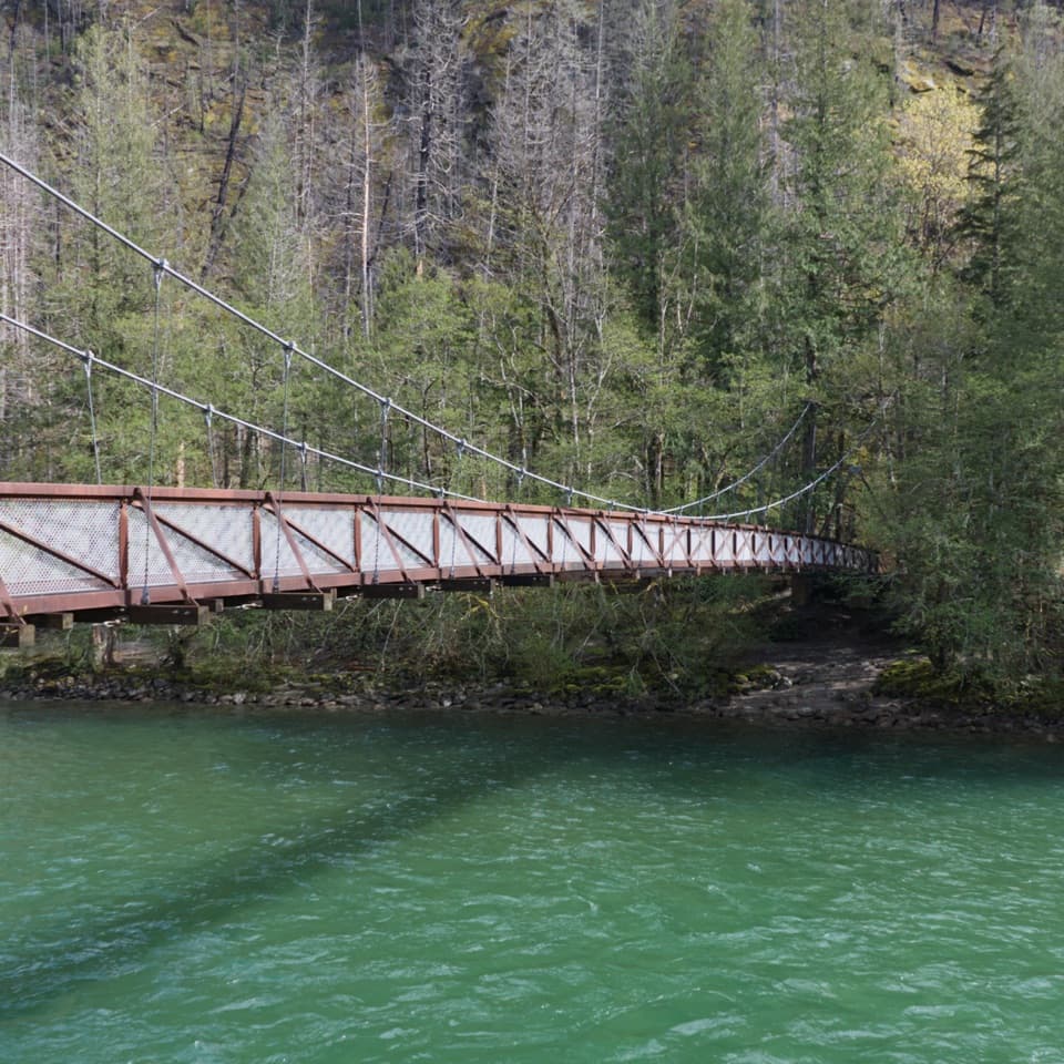
  • A close bridge view makes this a quick scenic-drive stop.

Heads up

  • The open metal bridge deck can feel exposed and slippery when wet.

Map

Where it is

Loading the North Cascades map
Full map
SightGorge Creek Falls48.70090, -121.20945
Keep this map with you offline in the Parkwolf app

Plan your stop

Before you go

7 active North Cascades alerts

  • ClosureWildfire closures and Stehekin fire advisoryWildfire-related closures remain in effect; stay out of all closed trails, camps, and areas.Official details
  • CautionCampfires banned across the park complexCampfires and other ash-producing fires are banned throughout the North Cascades National Park Service Complex.Official details

See all 7 alerts
A park ranger sits on a dash-mounted phone, talking, as Parkwolf’s Tour Guide plays “Army Cutworm Moths: A Grizzly Bear Buffet” on Grand Loop Road below Dunraven Pass in Yellowstone
Parkwolf Tour GuideThe highest, rockiest slopes around here are a summer buffet for grizzly bears.

North Cascades Tour Guide

Your drive to Gorge Creek Falls, narrated.

Parkwolf is a GPS audio tour guide for North Cascades National Park. As you drive, it chimes in with what’s ahead: hidden gems, upcoming stops, history, geology, and wildlife, right through your car’s speakers.

See the North Cascades audio tour

Recorded for this place

Gorge Creek Falls and the Separate Overlook Walk
0:00 / 0:33
“You're nearing Gorge Creek Falls, where the water drops two hundred and forty-two feet through a narrow rock cleft beside the highway.”

Plays as you drive up to Gorge Creek Falls in the Parkwolf North Cascades Tour Guide.

More stories near here in the app

  • Underneath a Fern Frond
  • Finding a Fire from Sourdough
  • Ladder Creek Falls and Gorge Powerhouse
  • Historic Newhalem: Fudge, a Steam Engine and Cedars
  • 83 audio storiesacross North Cascades’s roads, triggered by GPS as you drive
  • Wildlife heatmapsfor Mountain Goat, Black Bear, Mule Deer, and 10 more
  • Works offlinemaps, 88 trails, 76 places, and audio download before you lose signal
  • CarPlay readysimple controls built for the drive
★★★★★
“Fantastic app with many points of information… It’s great to just turn on while you’re driving and it gives you an audio tour of the national Park. We love it!!!!”
JMJamesApp Store review
Download Parkwolf on the App StoreGet Parkwolf on Google Play

4.7 from 8,600+ ratings

Guide

More about Gorge Creek Falls

The bridge stopGorge Creek Falls is a five-drop, 242-foot waterfall beside State Route 20 at mile 123.4.

Gorge Creek Falls is a five-drop, 242-foot waterfall beside State Route 20 at mile 123.4. The pedestrian bridge gives you a close look straight down into the narrow gorge above Gorge Lake, and you can hear the falls from the parking area. It is a quick roadside stop, not a hike; use the marked crosswalk to reach the bridge.

Look down, then acrossThe metal bridge deck is grated, so you can see through it; it may feel exposed and can be…

The metal bridge deck is grated, so you can see through it; it may feel exposed and can be slippery when wet. The close view follows the water down the rock cleft. Look along the bridge toward Gorge Lake for a wider frame with the lake and gorge; the upper tier is partly hidden from the bridge angle.

Aim for snowmeltThe falls run year-round, but snowmelt makes them strongest in spring and early summer.

The falls run year-round, but snowmelt makes them strongest in spring and early summer. By late summer or early fall, visitors sometimes find only a trickle. Highway 20 closes seasonally, so check road conditions before planning your drive around this stop.

The Skagit connectionThe water drops into Gorge Lake, then passes through Gorge Powerhouse on its way to the Skagit…

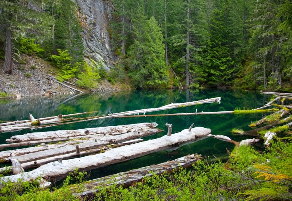
The water drops into Gorge Lake, then passes through Gorge Powerhouse on its way to the Skagit River. Gorge Dam sits nearby, so the short stop puts the waterfall in the middle of a working hydroelectric landscape.

Floods reshaped the gorgeMajor floods in 2003 swept away trees and large boulders and scoured the canyon walls; October…

Major floods in 2003 swept away trees and large boulders and scoured the canyon walls; October floods altered the cascade again. That flood history helps explain the rugged, boulder-lined channel around the falls.

Take the separate overlook trailThe Gorge Overlook Trail is a different walk from the bridge view. Its first 0.

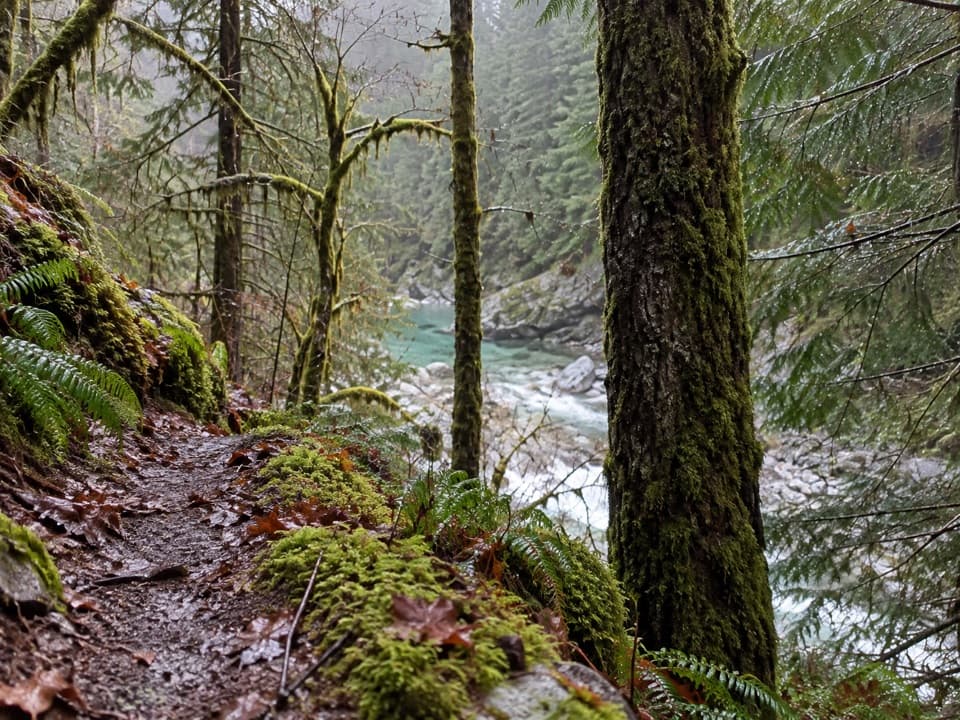
The Gorge Overlook Trail is a different walk from the bridge view. Its first 0.3 mile is paved and accessible; beyond that, a 0.5-mile unpaved forest loop returns to the parking area. The trail also passes another waterfall and opens onto Gorge Lake and Gorge Dam, rather than taking you closer to Gorge Creek Falls.

Wildlife

Wildlife in North Cascades

All North Cascades wildlife maps

Sighting maps show where each species has been reported across North Cascades. Wildlife moves, so no sighting is guaranteed.

Keep exploring

Near Gorge Creek Falls

See it all on the map

Trails nearby

More stops nearby

Parkwolf’s North Cascades ranking

Top sights in North Cascades

All 76 places
  1. 1Diablo Lake OverlookSight
  2. 2Washington Pass OverlookSight
  3. 3Rainbow FallsSight
  4. 5Ross Lake OverlookSight
  5. 6Ladder Creek FallsSight
  6. 7Buckner OrchardSight

Take Parkwolf to North Cascades.

The audio tour guide for the drive, plus offline maps, trails, and wildlife heatmaps for when the signal drops.

4.7 from 8,600+ ratings

Download Parkwolf on the App StoreGet Parkwolf on Google Play