Parking
Use the small turnout on the right just past Stetattle Creek Bridge at the entrance to Diablo townsite, not Diablo Dam. Leave room for other hikers to get in and out.
North Cascades National Park, WA
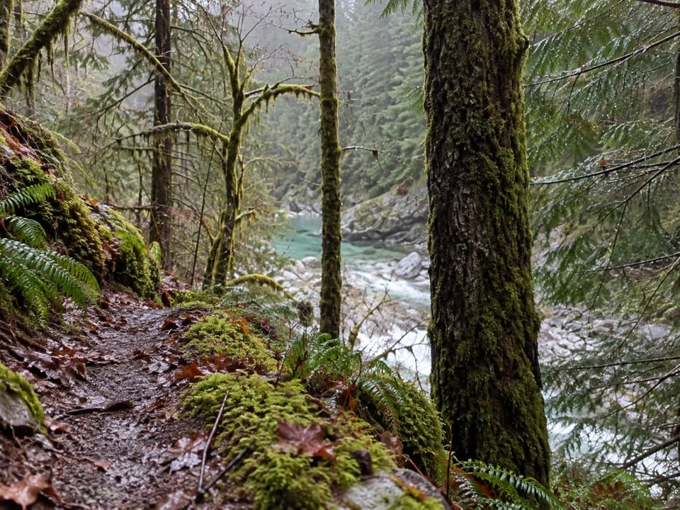
A rocky creekside start opens to a mossy forest traverse.
Overview
Map & elevation
Plan your hike

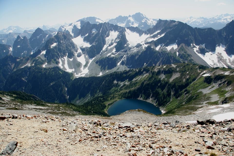
The highest, rockiest slopes around here are a summer buffet for grizzly bears.
North Cascades Tour Guide
Parkwolf is a GPS audio tour guide for North Cascades National Park. As you drive, it chimes in with what’s ahead: hidden gems, upcoming stops, history, geology, and wildlife, right through your car’s speakers.
See the North Cascades audio tourRecorded for this trailhead
Diablo and the Sourdough Mountain Climb“Diablo is coming up, where the Sourdough Mountain hike begins. Save that climb for a full mountain day: ten point four miles round trip, about nine hours, and nearly five thousand feet of climbing.”
Plays as you drive up to this trailhead in the Parkwolf North Cascades Tour Guide.
More stories near here in the app
“Fantastic app with many points of information… It’s great to just turn on while you’re driving and it gives you an audio tour of the national Park. We love it!!!!”


Trail guide
Stetattle Creek Trail is a 6-mile out-and-back from Diablo townsite to where the distinct tread fades, about 3 miles each way. It follows the creek through moss and ferns, climbs onto Sourdough Mountain’s slope, then traverses forest with only occasional peak glimpses. It’s a moderate hike with about 1,100 feet of gain; allow three to four hours, since the rough creekside sections and stream crossings slow the miles. The creek is the payoff, not a summit or open panorama.
The path starts just past Stetattle Creek Bridge at the Diablo town entrance and passes a housing area before reaching the creek bank. The first mile is the lushest: moss, ferns, and blue-green water. Rock scrambling beside the creek makes this a poor match for anyone expecting a smooth stroll. Glaciers high on McMillan Spires and Davis Peak grind rock into fine particles that give the water its blue-green cast. Watch the midstream rocks for American dippers and listen in the creekside brush for winter wrens.
At roughly 1.6 miles, the trail climbs quickly on switchbacks, then eases into a narrow traverse through mature, drier forest on Sourdough Mountain’s slope. Small tributaries cross the path, and snowy peaks appear only in glimpses. The track grows faint and dwindles around mile 3. Turn around at the last distinct tread; going farther means route-finding and cross-country travel.
This is a primitive, hiker-only trail. Pets aren’t allowed. There are no designated campsites along it; overnight camping requires a backcountry permit and a legal campsite at least half a mile from the trail, difficult to find in this rugged valley. There’s no toilet at the trailhead.
Wildlife
 101 sightingsMountain GoatMost seen around 6 PMSighting map
 70 sightingsBlack BearMost seen around 8 PMSighting map
 20 sightingsMule DeerMost seen around 7 PMSighting map
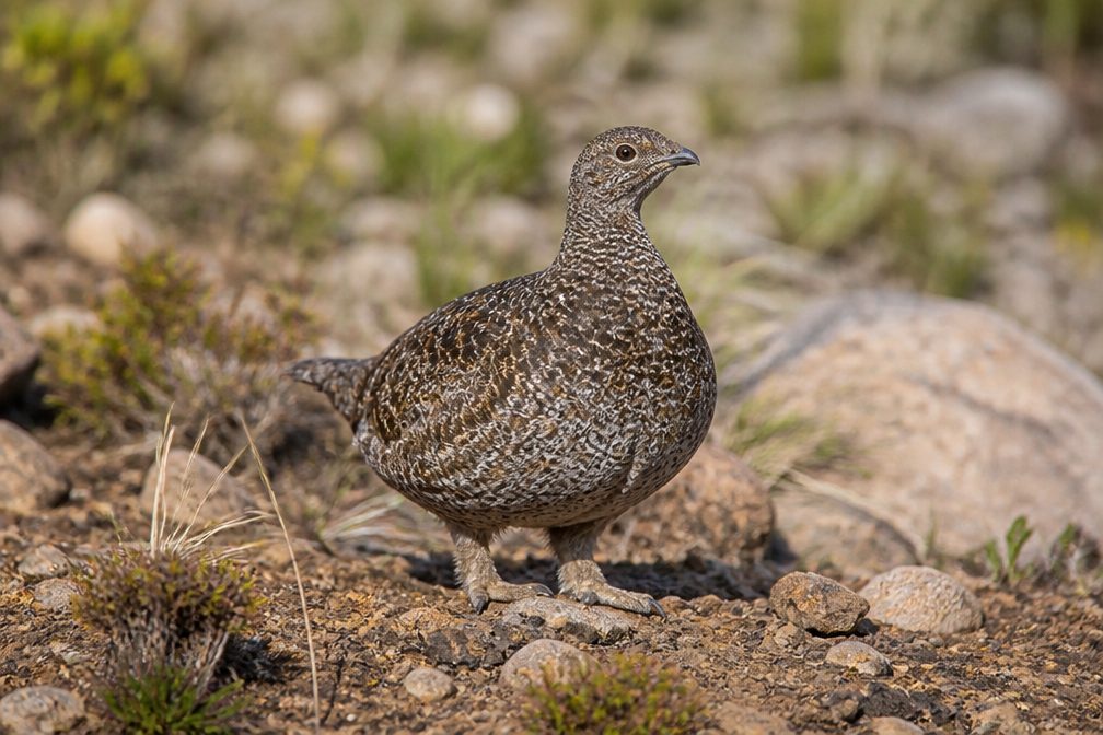 77 sightingsSooty GrouseMost seen around 6 AMSighting map
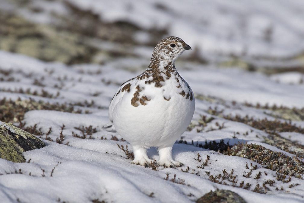 23 sightingsWhite-tailed PtarmiganMost seen around 6 PMSighting map
 75 sightingsWestern ToadMost seen around 8 PMSighting map
Sighting maps show where each species has been reported across North Cascades. Wildlife moves, so no sighting is guaranteed.
Keep exploring
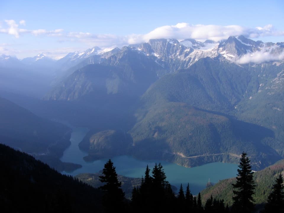 ChallengingSourdough Mountain Trail10.4 mi · 9 hr · 0.2 mi awayNearly 5,000 feet of climbing for the Diablo Lake panorama.
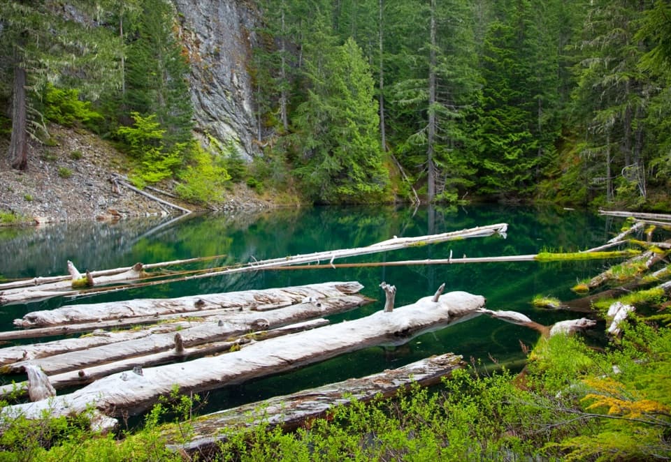 ModeratePyramid Lake Trail4.2 mi · 2.8 hr · 0.6 mi awaySteep miles to a tiny lake threaded with floating logs.
 ModerateDiablo Lake Trail7.6 mi · 4.5 hr · 1.4 mi awayA long forest climb earns a high bridge over Diablo Lake
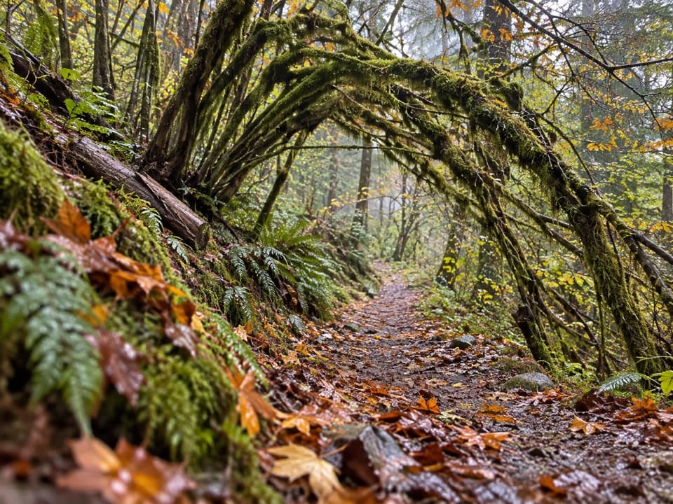 ModerateSourdough Creek Trail3.5 mi · 2.8 hr · 1.5 mi awayA forest path to Sourdough Creek Falls, with a rocky finish.
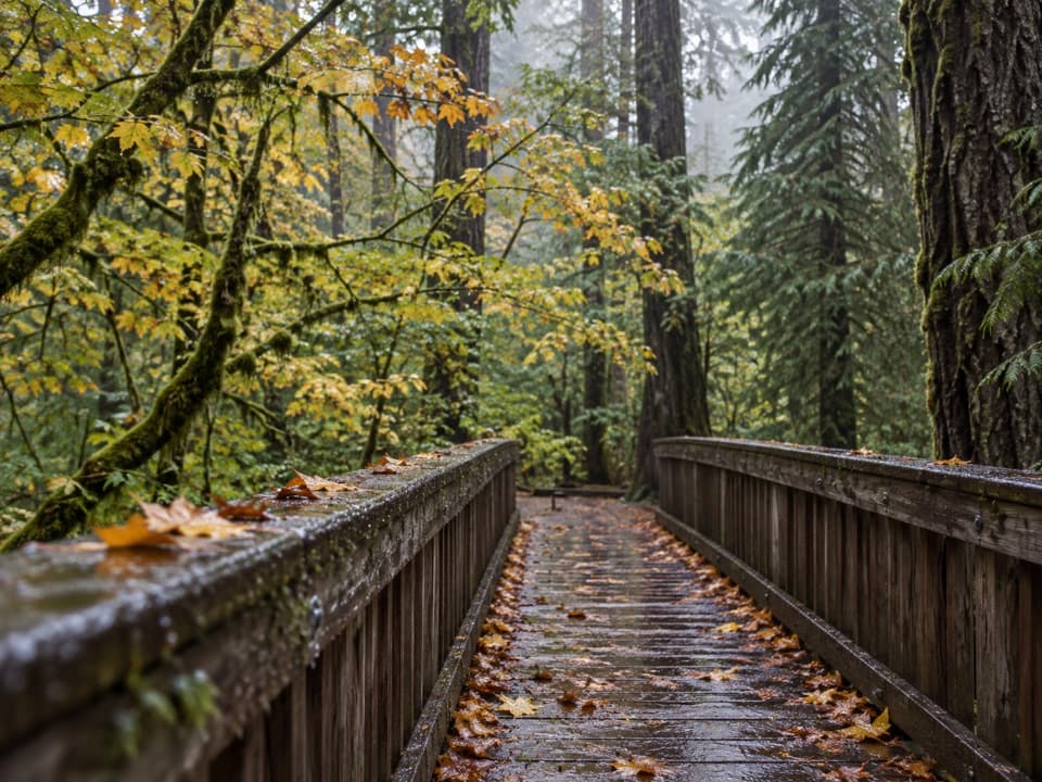 EasyDeer Creek Loop0.3 mi · 15 min · 1.6 mi awayA quarter-mile loop winds beside Deer Creek Shelter.
 ModerateThunder Knob Trail3.8 mi · 2.5 hr · 2.9 mi awayTake the steady climb for broad views over turquoise Diablo Lake.
 EasyGorge Overlook Trail0.5 mi · 45 min · 3 mi awayA short loop with a lake, a dam and a waterfall view.
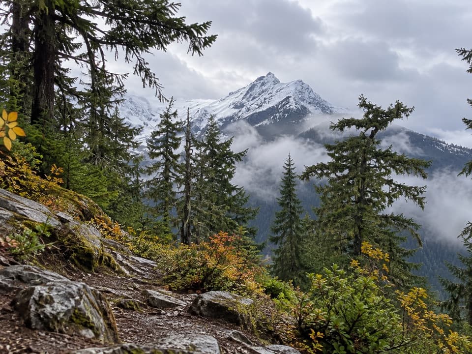 ChallengingFourth of July Pass via Thunder Creek10.4 mi · 7 hr · 3.4 mi awayA shady creek walk gives way to steep climbing and glacier views.
 Campground · 0.1 mi awayGorge Lake CampgroundEight simple sites, a lakeside launch, and a night by the water.
 Sight · 0.9 mi awayDiablo DamA public road crosses the 389-foot dam beside Diablo Lake.
 Sight · 1.5 mi awayNorth Cascades Environmental Learning CenterBook a program for lakeside learning, meals and trail days.
 Campground · 2.2 mi awayThunder Point CampA quiet three-site boat-in camp on Diablo Lake.
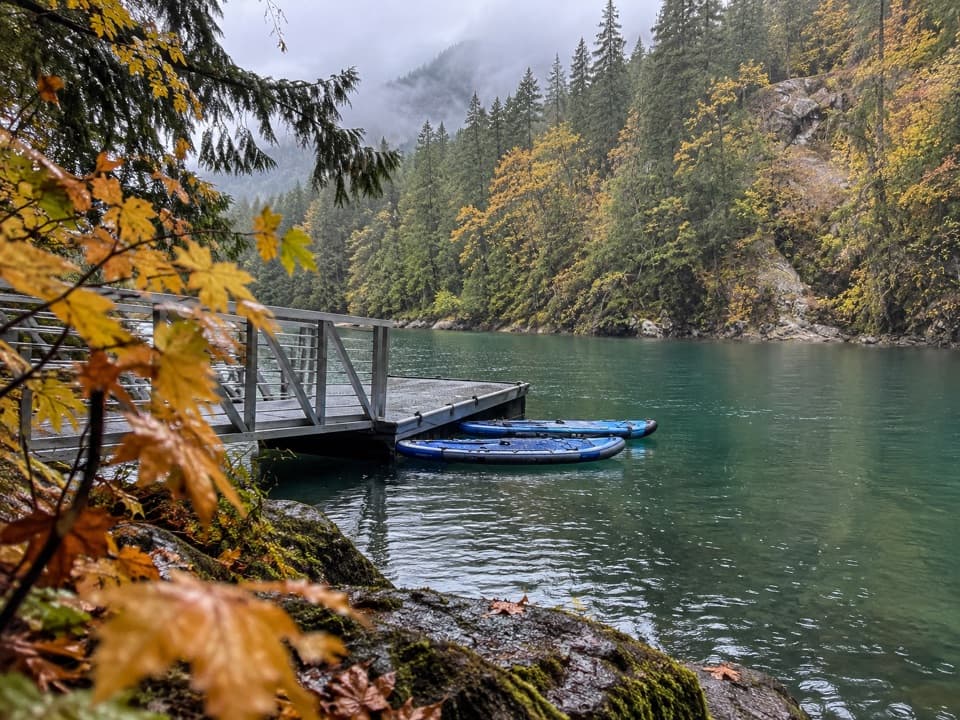 Campground · 2.3 mi awayHidden Cove CampA single-site camp with a sheltered dock, reached only by boat.
 Campground · 2.3 mi awayBuster Brown CampA lake camp reached by water, with its own boat dock.
 Sight · 2.5 mi awayDiablo Lake OverlookA quick roadside view of glacial turquoise beneath the Cascades.
 Sight · 2.6 mi awaySourdough Mountain LookoutA historic fire lookout crowns a demanding climb above Diablo Lake.
Parkwolf’s North Cascades ranking

The audio tour guide for the drive, plus offline maps, trails, and wildlife heatmaps for when the signal drops.