Rock Shelter Trail in North Cascades National Park

North Cascades National Park, WA

Rock Shelter Trail

A short accessible walk to a 1,400-year-old hunting camp.

Photo: National Park Service
Length
0.6mi
Time
30min
Elev. change
53ft
Difficulty
Easy
  • No dogs
  • High point 578 ft

Hear the audio tour

Newhalem Creek Campground and Rock Shelter

Overview

About Rock Shelter Trail

Why go

  • A short wheelchair-accessible route reaches a rare archaeological site
  • The viewing deck pairs the shelter with Newhalem Creek cascades

Heads up

  • A brief outing if you are looking for a longer hike

Map & elevation

The route

Loading the North Cascades map
Full map
Elevation526–578 ft
TrailheadRock Shelter Trailhead beyond Newhalem Creek Bridge48.66880, -121.25470
Keep this map with you offline in the Parkwolf app

Plan your hike

Before you go

Parking

A couple of shoulder pullouts are just past the steel-grated Newhalem Creek Bridge, on the left; the signed trailhead is about 40 yards farther. Reach the bridge by following the service road 0.3 miles east of Newhalem Creek Campground Loop C. Parking is limited, with no published space count.

Safety

Stay on the boardwalk and viewing deck; entering the protected shelter is prohibited. Pets are not allowed on this national-park trail; service animals are permitted. The separate left-hand creek-falls spur has rough footing and a steep drop-off and is not included in this route.

7 active North Cascades alerts

  • ClosureWildfire closures and Stehekin fire advisoryWildfire-related closures remain in effect; stay out of all closed trails, camps, and areas.Official details
  • CautionCampfires banned across the park complexCampfires and other ash-producing fires are banned throughout the North Cascades National Park Service Complex.Official details
See all 7 alerts
A park ranger sits on a dash-mounted phone, talking, as Parkwolf’s Tour Guide plays “Army Cutworm Moths: A Grizzly Bear Buffet” on Grand Loop Road below Dunraven Pass in Yellowstone
Parkwolf Tour GuideThe highest, rockiest slopes around here are a summer buffet for grizzly bears.

North Cascades Tour Guide

Your drive to Rock Shelter Trail, narrated.

Parkwolf is a GPS audio tour guide for North Cascades National Park. As you drive, it chimes in with what’s ahead: hidden gems, upcoming stops, history, geology, and wildlife, right through your car’s speakers.

See the North Cascades audio tour

Recorded for this trailhead

Newhalem Creek Campground and Rock Shelter
0:00 / 0:36
“You're nearing Newhalem Creek Campground, a seasonal riverside base within walking distance of town and the visitor center.”

Plays as you drive up to this trailhead in the Parkwolf North Cascades Tour Guide.

More stories near here in the app

  • Historic Newhalem: Fudge, a Steam Engine and Cedars
  • North Cascades Visitor Center and Picket Range View
  • Goodell Creek: Camping Beside the Skagit
  • Ladder Creek Falls and Gorge Powerhouse
  • 83 audio storiesacross North Cascades’s roads, triggered by GPS as you drive
  • Wildlife heatmapsfor Mountain Goat, Black Bear, Mule Deer, and 10 more
  • Works offlinemaps, 88 trails, 76 places, and audio download before you lose signal
  • CarPlay readysimple controls built for the drive
★★★★★
“Fantastic app with many points of information… It’s great to just turn on while you’re driving and it gives you an audio tour of the national Park. We love it!!!!”
JMJamesApp Store review
Download Parkwolf on the App StoreGet Parkwolf on Google Play

4.7 from 8,600+ ratings

Trail guide

Hiking Rock Shelter Trail

A short walk to a distinctive siteRock Shelter Trail is an easy out-and-back from the Newhalem Creek campground service road to a…

Rock Shelter Trail is an easy out-and-back from the Newhalem Creek campground service road to a wooden viewing deck beside a large overhanging boulder, site of a protected archaeological hunting camp. The walk to the deck and back is about 0.6 miles round trip; allow roughly 30 minutes to walk and spend time at the site. Published measures differ: park pages describe a 1,000-foot path or 0.3 miles round trip, while mapped and hiking descriptions support about 0.5–0.6 miles. Treat 0.6 miles as an approximate full-route figure.

Finding the shelter pathFrom Loop C, follow the campground service road 0.

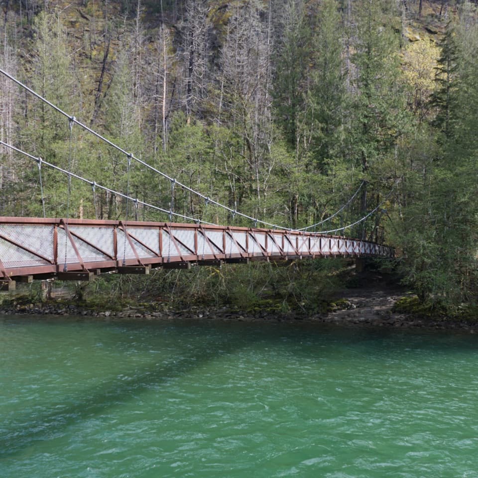
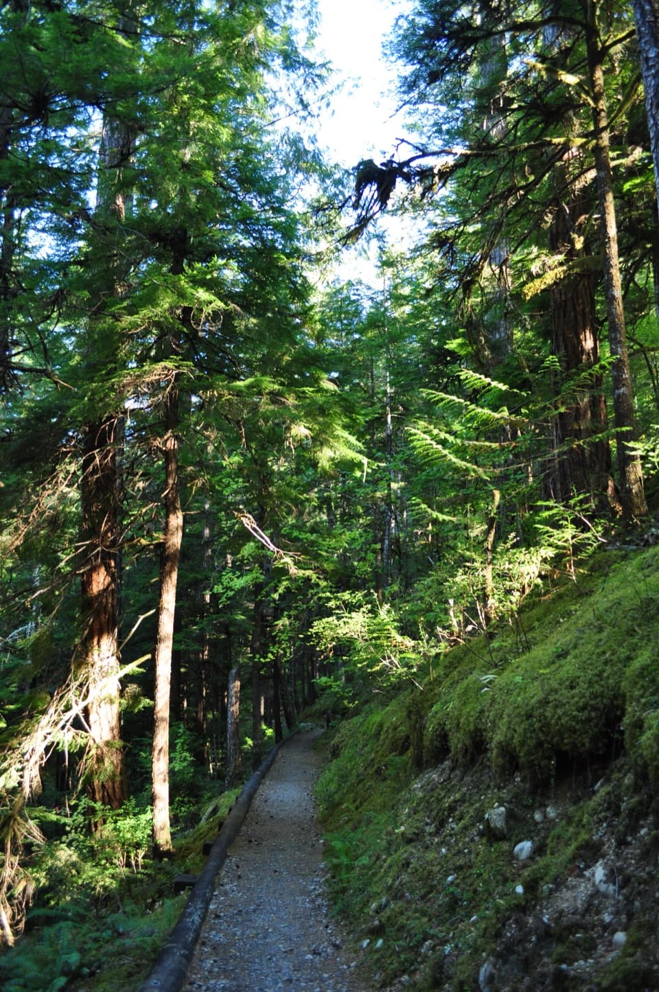
From Loop C, follow the campground service road 0.3 miles east, cross the steel-grated Newhalem Creek Bridge, and look for the signed trailhead about 40 yards beyond it. There are a couple of shoulder pullouts just past the bridge, on the left. The park identifies the main path as wheelchair accessible. It begins on compacted gravel with short rises and level breaks, then reaches a wooden boardwalk and circular viewing deck. At the fork, keep right for the shelter; the left branch is a separate, rougher creek-falls overlook and is not part of this route.

A protected hunting campThe deck looks toward the large boulder shelter and down to cascades on Newhalem Creek.

The deck looks toward the large boulder shelter and down to cascades on Newhalem Creek. Park interpretation describes a hunting camp about 1,400 years old, points out darkened marks from past fires, and connects the site with Upper Skagit, Sauk-Suiattle, and Nlaka’pamux ancestors whose communities have called the North Cascades home for more than 10,000 years. This is a protected archaeological place: stay on the boardwalk and deck and do not enter the shelter. From the platform, frame the boulder with the creek below for a view that shows both the site and its setting.

Wildlife

Wildlife in North Cascades

All North Cascades wildlife maps

Sighting maps show where each species has been reported across North Cascades. Wildlife moves, so no sighting is guaranteed.

Keep exploring

Near Rock Shelter Trail

See it all on the map

Trails that start nearby

Places near the trailhead

Parkwolf’s North Cascades ranking

Top-rated trails in North Cascades

All 88 trails
  1. 1Sahale Arm TrailChallenging · 11.8 mi
  2. 2Cascade Pass TrailModerate · 7.4 mi
  3. 3Heather–Maple Pass LoopChallenging · 7.2 mi
  4. 4Hidden Lake TrailChallenging · 9 mi
  5. 5Copper Ridge / Chilliwack River LoopChallenging · 33.5 mi
  6. 6Thunder Knob TrailModerate · 3.8 mi

Take Parkwolf to North Cascades.

The audio tour guide for the drive, plus offline maps, trails, and wildlife heatmaps for when the signal drops.

4.7 from 8,600+ ratings

Download Parkwolf on the App StoreGet Parkwolf on Google Play