Washington Pass Overlook in North Cascades National Park

#2 of 26 sights in North Cascades

Sight · North Cascades National Park

Washington Pass Overlook

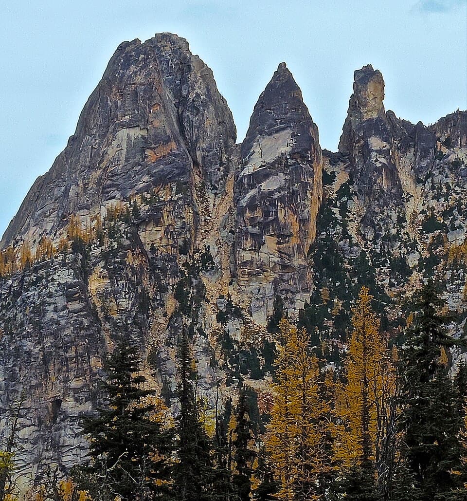
Watch the Liberty Bell group rise above Highway 20.

Photo: Buidhe, CC BY-SA 4.0, via Wikimedia Commons

Type
Sight
Nearest trail
1.3 mi
Audio stories
2 nearby
  • Parking
  • Restrooms
  • Picnic tables
  • Scenic viewpoint

Hear the audio tour

Washington Pass Overlook
Download Parkwolf on the App StoreGet Parkwolf on Google Play

4.7 from 8,600+ ratings

Overview

About Washington Pass Overlook

Why stop

  • The highway curls 2,000 feet below Liberty Bell’s east face.

Heads up

  • The upper loop has stairs beyond the level first viewpoint.

Map

Where it is

Loading the North Cascades map
Full map
SightWashington Pass Overlook48.52585, -120.64719
Keep this map with you offline in the Parkwolf app

Plan your stop

Before you go

7 active North Cascades alerts

  • ClosureWildfire and post-fire area, trail, and camp closuresStay out of the listed closed areas, trails, camps, and campgrounds; closures are in place for current fire activity and hazards left by burned landscapes.Official details
  • ClosureStehekin Valley Road closed by landslidesStehekin Valley Road is closed because landslides damaged the route; NPS says not to travel to Stehekin while crews stabilize the situation.Official details

See all 7 alerts
A park ranger sits on a dash-mounted phone, talking, as Parkwolf’s Tour Guide plays “Army Cutworm Moths: A Grizzly Bear Buffet” on Grand Loop Road below Dunraven Pass in Yellowstone
Parkwolf Tour GuideThe highest, rockiest slopes around here are a summer buffet for grizzly bears.

North Cascades Tour Guide

Your drive to Washington Pass Overlook, narrated.

Parkwolf is a GPS audio tour guide for North Cascades National Park. As you drive, it chimes in with what’s ahead: hidden gems, upcoming stops, history, geology, and wildlife, right through your car’s speakers.

See the North Cascades audio tour

Recorded for this place

Washington Pass Overlook
0:00 / 0:29
“Washington Pass Overlook is coming up, with Liberty Bell Mountain and Early Winters Spires rising above the highway. If the peaks are clear, do this stop.”

Plays as you drive up to Washington Pass Overlook in the Parkwolf North Cascades Tour Guide.

More stories near here in the app

  • Blue Lake: A Half-Day Mountain Hike
  • The Cone with Little Pitchforks
  • Bridge Creek and the Pacific Crest Trail
  • Rainy Pass: Lake Walk or Ridge Hike
  • 83 audio storiesacross North Cascades’s roads, triggered by GPS as you drive
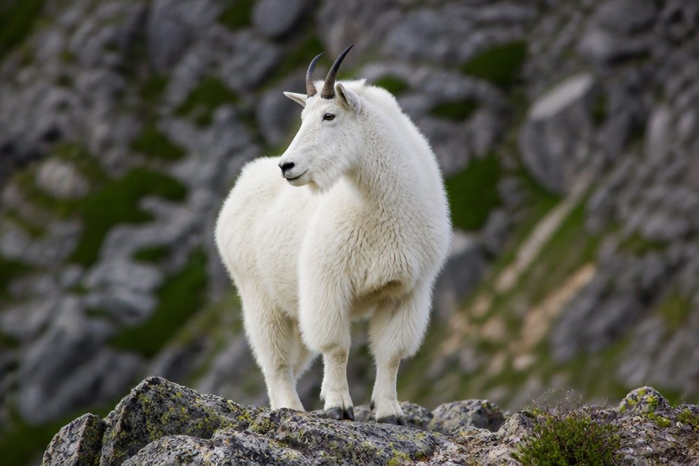
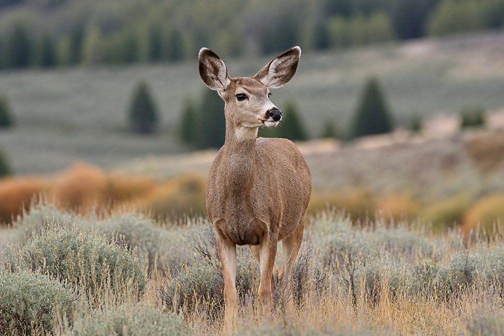
  • Wildlife heatmapsfor Mountain Goat, Black Bear, Mule Deer, and 10 more
  • Works offlinemaps, 88 trails, 76 places, and audio download before you lose signal
  • CarPlay readysimple controls built for the drive
★★★★★
“Fantastic app with many points of information… It’s great to just turn on while you’re driving and it gives you an audio tour of the national Park. We love it!!!!”
JMJamesApp Store review
Download Parkwolf on the App StoreGet Parkwolf on Google Play

4.7 from 8,600+ ratings

Guide

More about Washington Pass Overlook

A short stop with a big payoffWashington Pass Observation Site is a developed roadside viewpoint in Okanogan-Wenatchee…

Washington Pass Observation Site is a developed roadside viewpoint in Okanogan-Wenatchee National Forest, at about 5,500 feet on Highway 20 just east of North Cascades National Park. A short paved walk brings you face to face with Liberty Bell Mountain and Early Winters Spires. When the peaks are hidden in cloud or smoke, this quick stop loses most of its draw; when they show, it’s one of the strongest views along the highway.

Choose your stretch of pathThe first 400 feet are level pavement through subalpine forest to the main viewpoint, with…

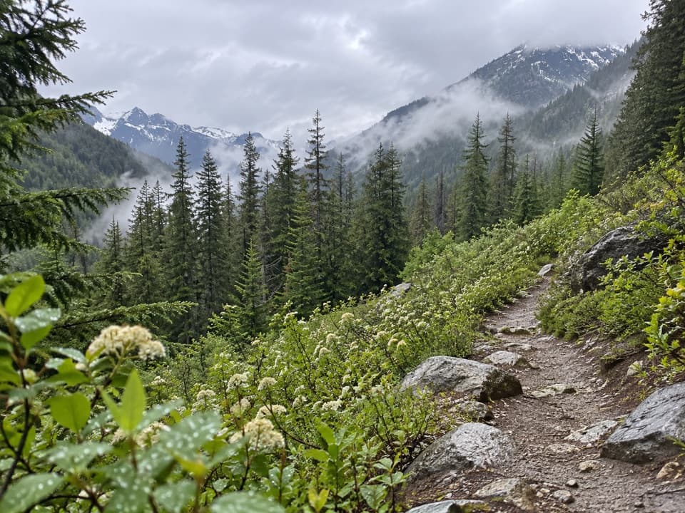
The first 400 feet are level pavement through subalpine forest to the main viewpoint, with accessible parking and restrooms, benches, picnic tables and interpretive signs. The path continues as a loop back to the lot, but the upper part has stairs and steeper grades. You can get the headline view without taking on that rougher stretch.

Look down the east faceLiberty Bell’s sheer east face rises about 2,000 feet above Highway 20, which curls through the…

Liberty Bell’s sheer east face rises about 2,000 feet above Highway 20, which curls through the forested valley below. Early Winters Spires and Kangaroo Ridge fill out the skyline; look for Vasiliki and Snagtooth ridges among the jagged peaks. For a photo, frame the mountain wall with the road winding far beneath it.

Come for the larches in fallIn autumn, golden larches spread across Liberty Bell’s lower slopes, adding a bright band…

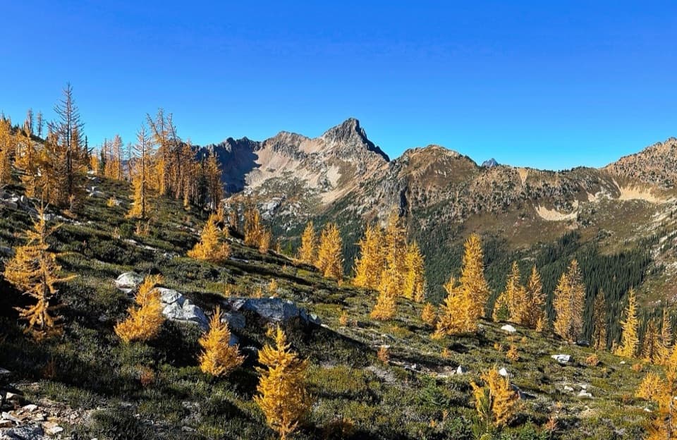
In autumn, golden larches spread across Liberty Bell’s lower slopes, adding a bright band beneath the rock. It’s a good reason to stop even if you’ve already seen the summer view.

Plan for a high passFrom Highway 20, follow the paved two-mile spur to the paved parking area.

From Highway 20, follow the paved two-mile spur to the paved parking area. Vault toilets and picnic tables are here, but there’s no potable water and food service isn’t listed, so plan ahead. The site is day use only and becomes inaccessible when Highway 20 closes for winter; snow often lingers here into early July.

Wildlife

Wildlife in North Cascades

All North Cascades wildlife maps

Sighting maps show where each species has been reported across North Cascades. Wildlife moves, so no sighting is guaranteed.

Parkwolf’s North Cascades ranking

Top sights in North Cascades

All 76 places
  1. 1Diablo Lake OverlookSight
  2. 3Rainbow FallsSight
  3. 4Gorge Creek FallsSight
  4. 5Ross Lake OverlookSight
  5. 6Ladder Creek FallsSight
  6. 7Buckner OrchardSight

Take Parkwolf to North Cascades.

The audio tour guide for the drive, plus offline maps, trails, and wildlife heatmaps for when the signal drops.

4.7 from 8,600+ ratings

Download Parkwolf on the App StoreGet Parkwolf on Google Play