Parking
Use the first (western) parking area on Highway 20, about two miles east of Newhalem; it directly accesses the loop and has accessible parking, toilets and curb ramps. The farther lot adds about an eighth of a mile.

North Cascades National Park, WA
A short loop with a lake, a dam and a waterfall view.
Overview
Map & elevation
Plan your hike

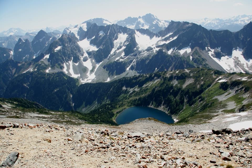
The highest, rockiest slopes around here are a summer buffet for grizzly bears.
North Cascades Tour Guide
Parkwolf is a GPS audio tour guide for North Cascades National Park. As you drive, it chimes in with what’s ahead: hidden gems, upcoming stops, history, geology, and wildlife, right through your car’s speakers.
See the North Cascades audio tourRecorded for this trailhead
Gorge Creek Falls and the Separate Overlook Walk“You're nearing Gorge Creek Falls, where the water drops two hundred and forty-two feet through a narrow rock cleft beside the highway.”
Plays as you drive up to this trailhead in the Parkwolf North Cascades Tour Guide.
More stories near here in the app
“Fantastic app with many points of information… It’s great to just turn on while you’re driving and it gives you an audio tour of the national Park. We love it!!!!”


Trail guide
Gorge Overlook Trail circles a small granite knob beside Highway 20. The complete loop is about 0.53 mile from the western lot; plan on 30 to 60 minutes with time for the signs and viewpoints. It’s an easy leg-stretcher on the North Cascades Highway, not a half-day hike. About half the circuit is paved and accessible; the rest is compacted gravel. If you need a paved walk throughout, turn back at the end of the paved section.
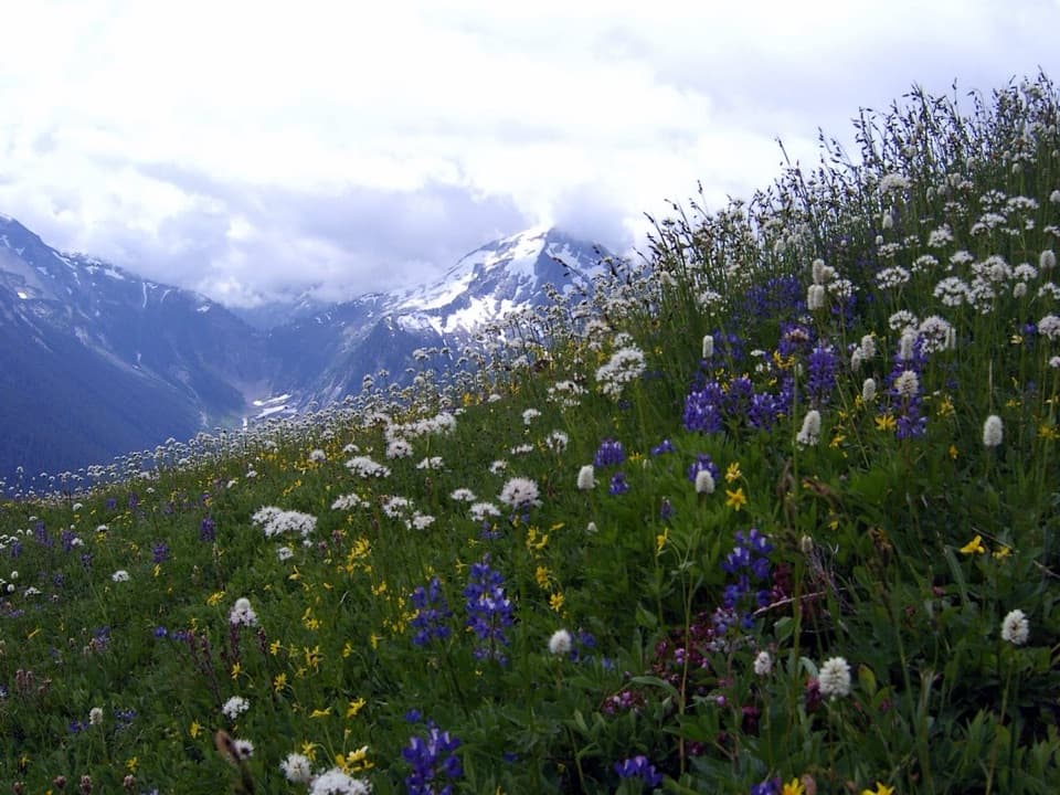
The paved half has benches and interpretive signs, with grades no steeper than 6%. It looks toward Gorge Lake and Gorge Dam, and has a view of a waterfall along the route. The gravel half rounds the wooded side of the knob; expect occasional rocks or roots and grades up to 14%. Moss and ferns cover much of the ground, and the plants change as the slope turns toward or away from the sun. Some outlooks are partly screened by trees or power lines, so not every stop gives a wide-open view.
The knob is granite left by the last ice age, and the Skagit River once ran through the gorge below. Gorge Dam was completed in 1961 and harnesses the river to generate electricity for Seattle. Ravens and crows are often part of the soundscape here. It’s a useful short stop if you like seeing a landscape shaped both by ice and by a large hydroelectric project.
The waterfall visible from the paved loop is not Gorge Creek Falls. The named falls are viewed from the grated bridge across Highway 20, a separate roadside stop that doesn’t belong to the trail or its mileage. If you add it, use the crosswalk and watch traffic; the bridge spans a narrow chasm, and its metal deck can be slippery when wet or feel exposed underfoot.
Use the first, western parking area on Highway 20, about two miles east of Newhalem; it directly reaches the loop and has accessible parking, toilets and curb ramps. The farther lot adds about an eighth of a mile. Leashed dogs are allowed in the Ross Lake National Recreation Area.
Some published descriptions give the full loop as 0.8 mile, while the detailed paved and gravel figures add to 0.53 mile. The mapped circuit is about 0.52 mile, so plan on roughly half a mile. The separate bridge visit adds distance.
Wildlife
 101 sightingsMountain GoatMost seen around 6 PMSighting map
 70 sightingsBlack BearMost seen around 8 PMSighting map
 20 sightingsMule DeerMost seen around 7 PMSighting map
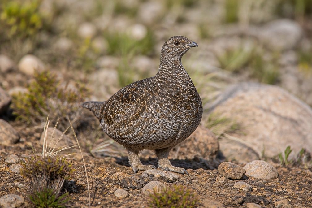 77 sightingsSooty GrouseMost seen around 6 AMSighting map
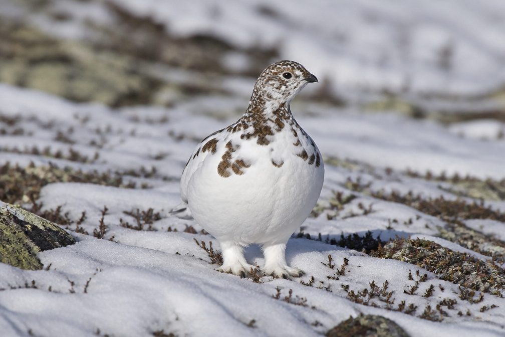 23 sightingsWhite-tailed PtarmiganMost seen around 6 PMSighting map
 75 sightingsWestern ToadMost seen around 8 PMSighting map
Sighting maps show where each species has been reported across North Cascades. Wildlife moves, so no sighting is guaranteed.
Keep exploring
 EasyLadder Creek Falls Trail0.5 mi · 30 min · 2.3 mi awayA half-mile waterfall loop with a hydroelectric past.
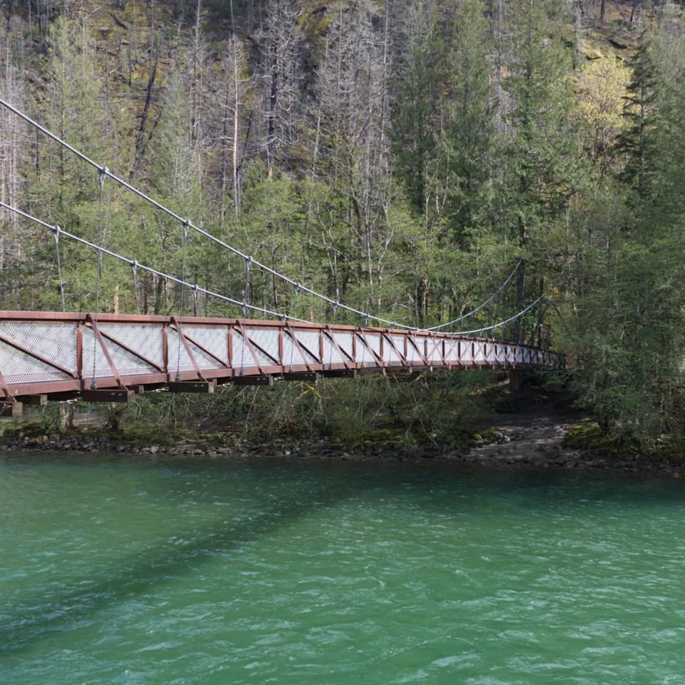 EasyTrail of the Cedars Nature Walk0.5 mi · 30 min · 2.6 mi awayCross the suspension bridge for an easy old-growth river loop.
 EasyRock Shelter Trail0.6 mi · 30 min · 3 mi awayA short accessible walk to a 1,400-year-old hunting camp.
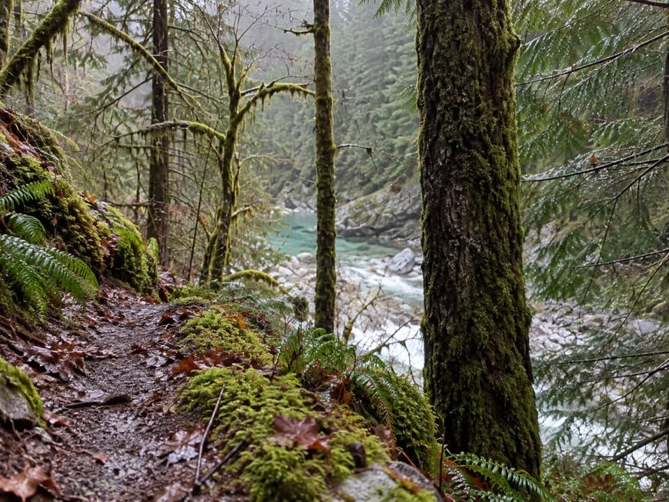 ModerateStetattle Creek Trail6 mi · 3.5 hr · 3 mi awayA rocky creekside start opens to a mossy forest traverse.
 EasyLower Newhalem Creek Trail0.6 mi · 30 min · 3 mi awayCreekside walk to a cedar glade still finding its way back.
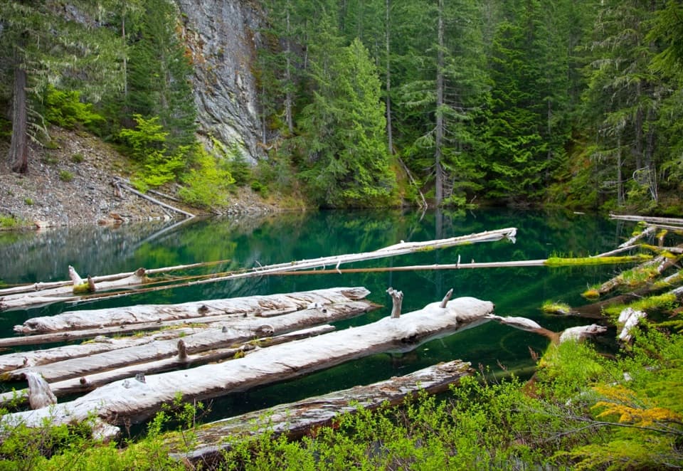 ModeratePyramid Lake Trail4.2 mi · 2.8 hr · 3 mi awaySteep miles to a tiny lake threaded with floating logs.
 EasyTo Know a Tree Nature Trail1 mi · 45 min · 3.1 mi awayTree signs turn this easy riverside walk into a small nature lesson.
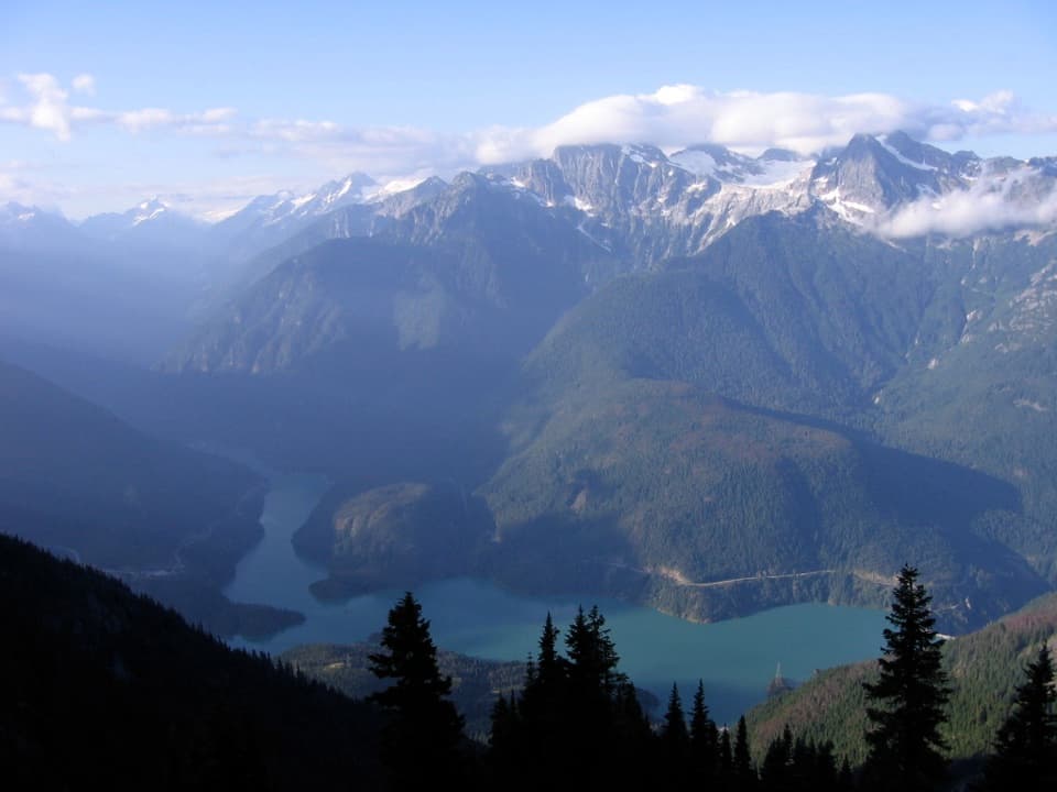 ChallengingSourdough Mountain Trail10.4 mi · 9 hr · 3.2 mi awayNearly 5,000 feet of climbing for the Diablo Lake panorama.
 Sight · At the trailheadGorge Lake OverlookA quick Gorge Lake stop for dam views and a short loop.
 Sight · 0.1 mi awayGorge Creek FallsA 242-foot cascade drops through a gorge beside SR 20.
 Sight · 2.1 mi awayLadder Creek FallsA short falls loop with gardens and a night light show.
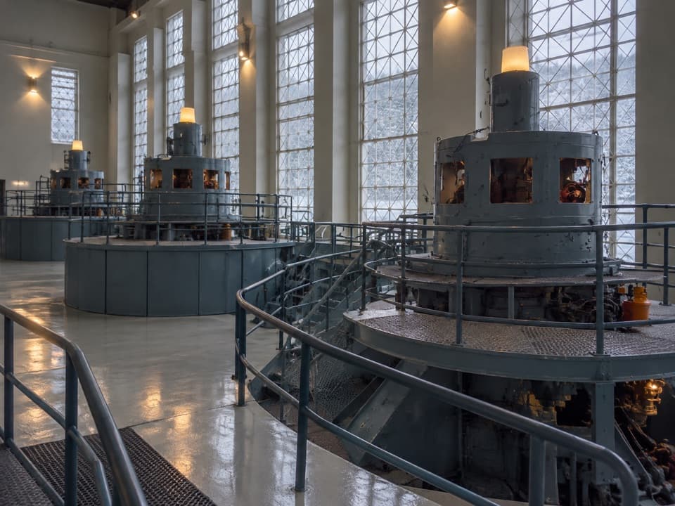 Sight · 2.2 mi awayGorge Powerhouse Visitor GallerySee the Skagit Project’s generators from inside the powerhouse.
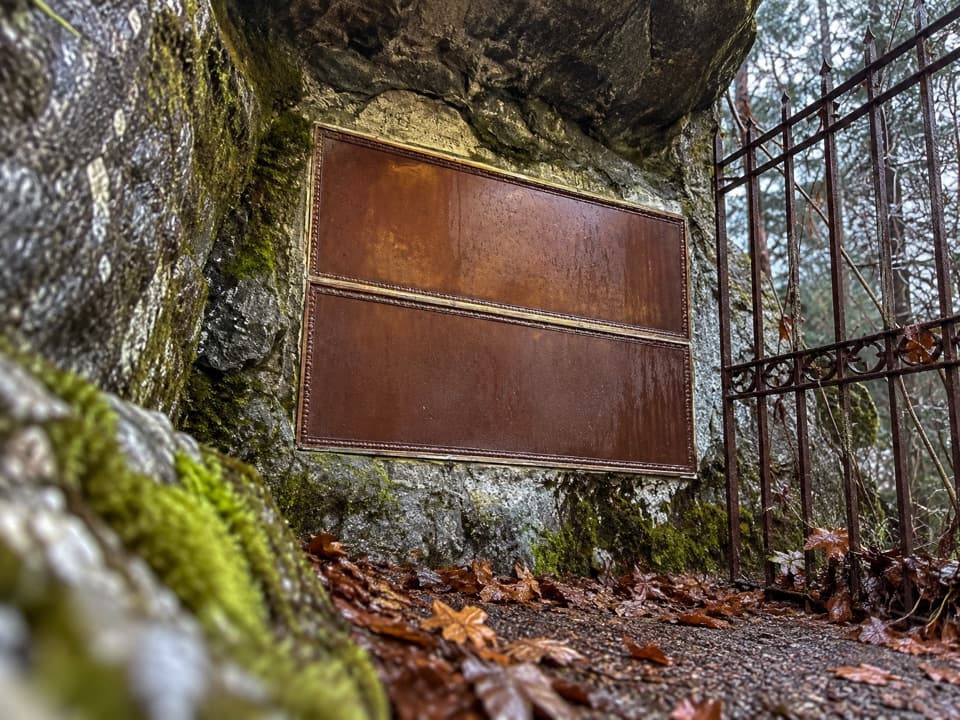 Sight · 2.3 mi awayRoss CryptA short memorial to J.D. Ross, the man behind Seattle’s Skagit Project.
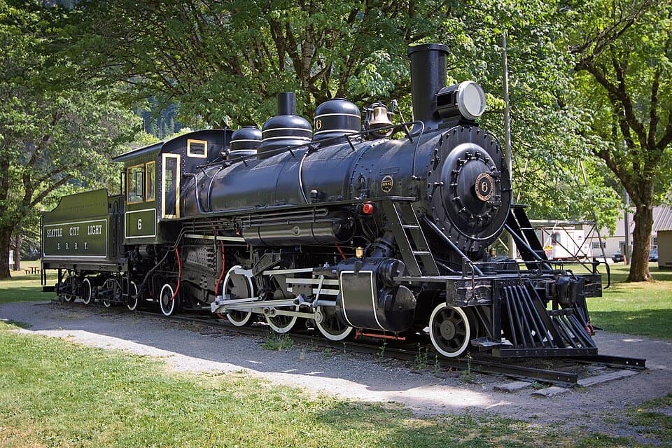 Sight · 2.5 mi awayOld Number Six LocomotiveClimb into an old steam engine and ring its brass bell.
 Store · 2.5 mi awaySkagit General StoreA working 1922 company store with fudge and camp supplies.
 Sight · 2.5 mi awayGorge InnA 1925 cookhouse puts the Skagit dams' human story on display.
Parkwolf’s North Cascades ranking

The audio tour guide for the drive, plus offline maps, trails, and wildlife heatmaps for when the signal drops.